Cave Dale
Valley in Derbyshire High Peak
England
Cave Dale
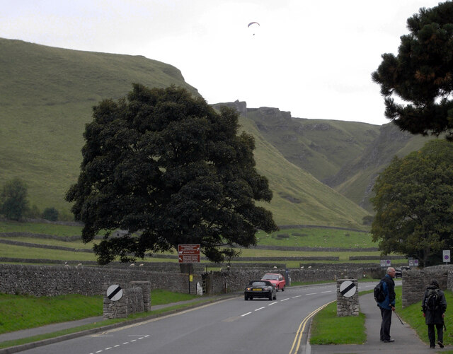
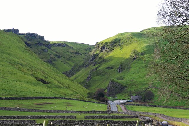
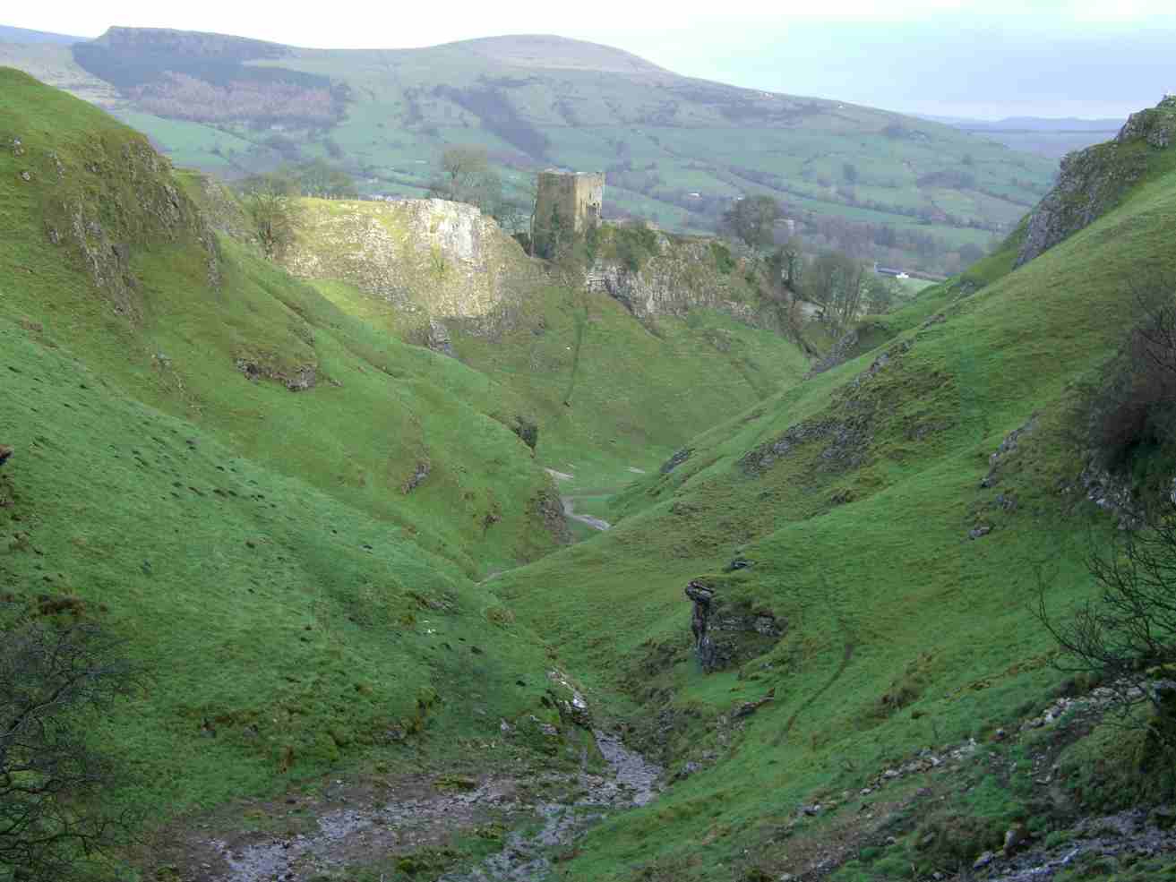
Cave Dale is a picturesque valley located in the county of Derbyshire, England. Nestled within the Peak District National Park, it is a popular destination for hikers, rock climbers, and nature enthusiasts. The valley is known for its dramatic limestone cliffs, enchanting woodlands, and meandering river.
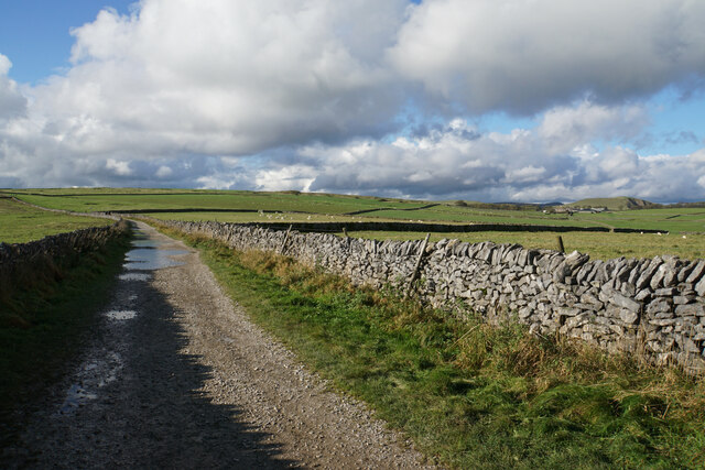
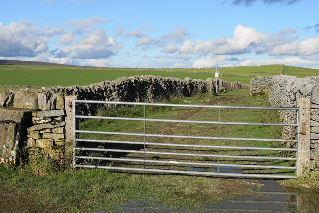
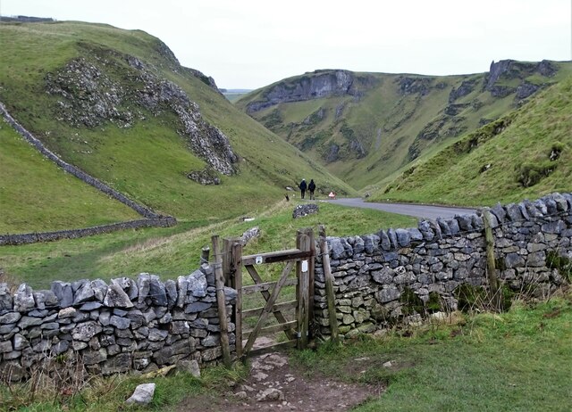
Cave Dale is a relatively narrow gorge that stretches for approximately 1.5 kilometers. The valley is flanked by towering limestone cliffs that rise up to 50 meters in some areas, providing a stunning backdrop to the landscape. These cliffs are a favorite spot for rock climbers, attracting both beginners and experienced climbers alike.
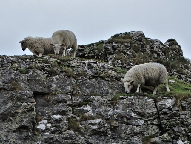
The valley is home to a variety of flora and fauna, with wildflowers carpeting the meadows during the spring and summer months. Several species of birds, including peregrine falcons and kestrels, can be spotted soaring above the cliffs. The river that winds through the valley is a haven for wildlife, with otters, water voles, and kingfishers frequently seen along its banks.
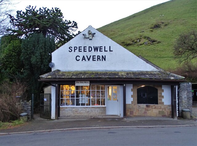
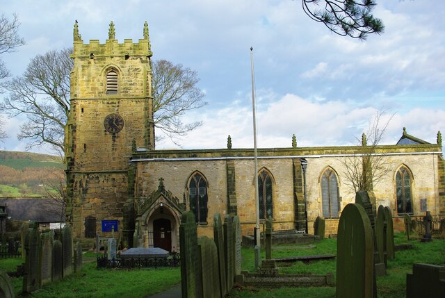
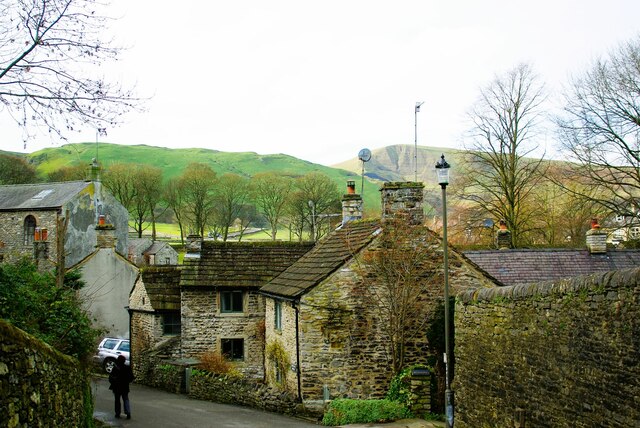
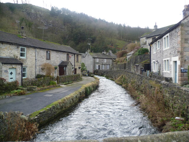
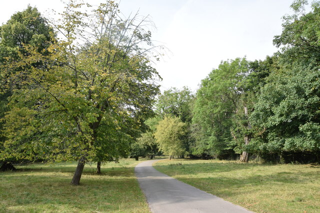
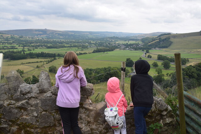
For those seeking a leisurely stroll, a well-maintained footpath runs through Cave Dale, allowing visitors to explore the natural beauty of the valley at their own pace. The path leads to the nearby village of Castleton, where visitors can enjoy a range of amenities, including cozy pubs, charming shops, and historical attractions such as Peveril Castle.
Overall, Cave Dale offers a stunning natural landscape, rich in biodiversity and opportunities for outdoor adventure, making it a must-visit destination for nature lovers and explorers.
If you have any feedback on the listing, please let us know in the comments section below.
Cave Dale Images
Images are sourced within 2km of 53.338763/-1.7768501 or Grid Reference SK1482. Thanks to Geograph Open Source API. All images are credited.


Cave Dale is located at Grid Ref: SK1482 (Lat: 53.338763, Lng: -1.7768501)
Administrative County: Derbyshire
District: High Peak
Police Authority: Derbyshire
What 3 Words
///frock.waxes.debut. Near Hope Valley, Derbyshire
Nearby Locations
Related Wikis
Cave Dale
Cave Dale (sometimes spelt Cavedale) is a dry limestone valley in the Derbyshire Peak District, England. It is located at grid reference SK149824. The...
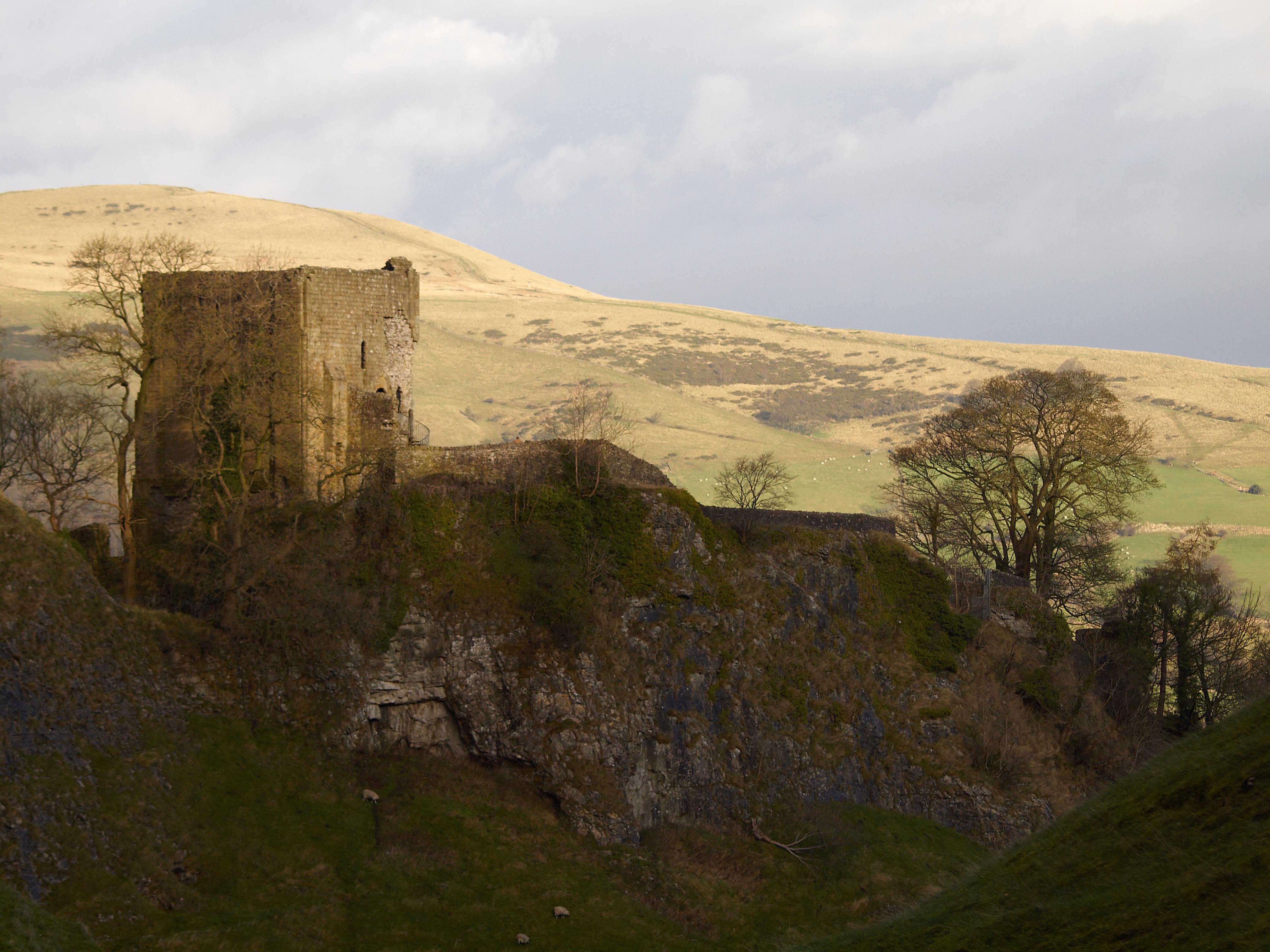
Peveril Castle
Peveril Castle (also Castleton Castle or Peak Castle) is a ruined 11th-century castle overlooking the village of Castleton in the English county of Derbyshire...

Peak Cavern
The Peak Cavern, also known as the Devil's Arse, is one of the four show caves in Castleton, Derbyshire, England. Peakshole Water flows through and out...

Goosehill Hall
Goosehill Hall is an 18th-century Grade II listed country hall on the outskirts of Castleton, Derbyshire. == History == The current Hall was constructed...
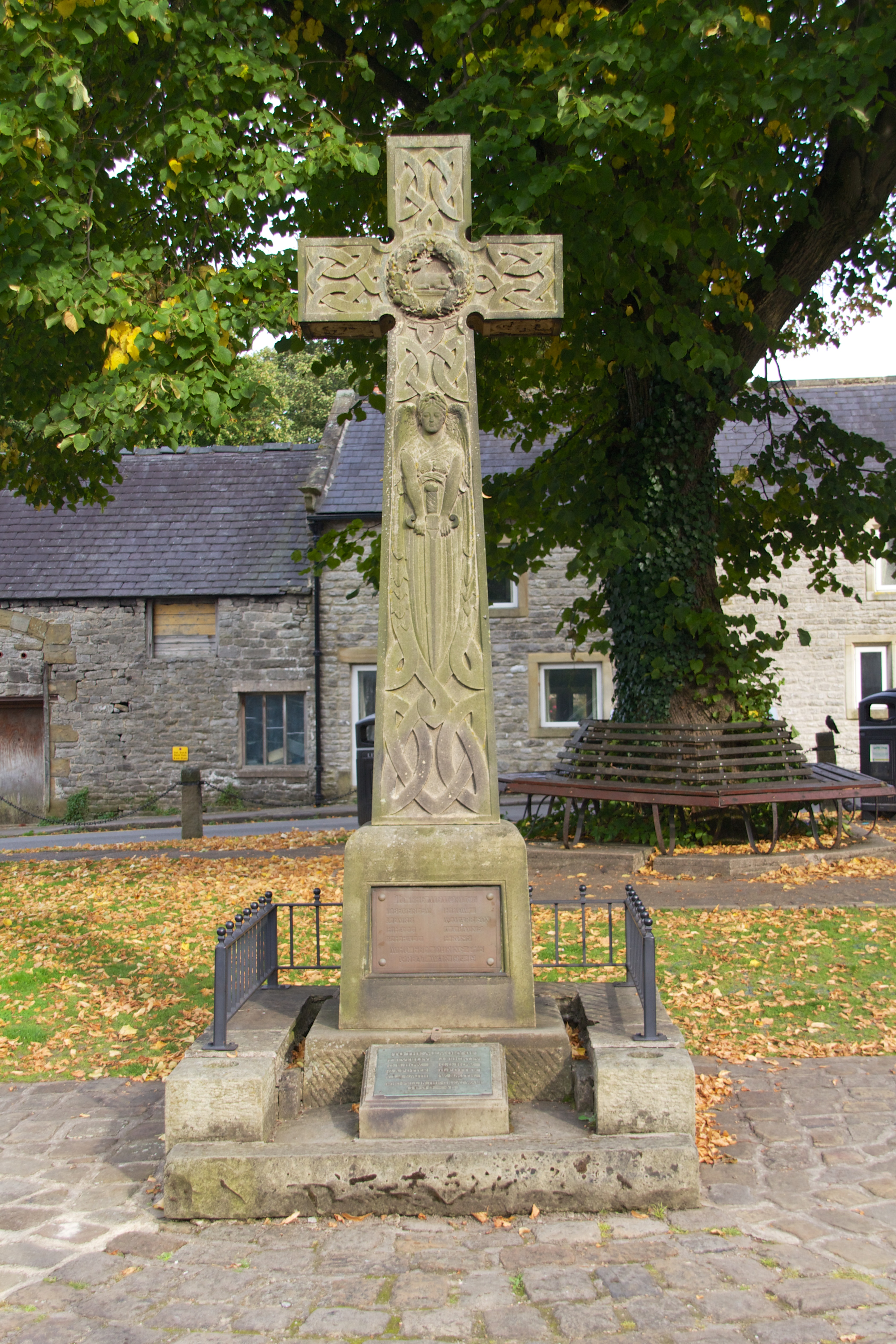
Castleton War Memorial
Castleton War Memorial is a 20th-century grade II listed war memorial in Castleton, Derbyshire. == History == The war memorial was unveiled in 1919. It...

Castleton Hall
Castleton Hall is an 18th-century grade II listed country hall on Castle Street in Castleton, Derbyshire. == History == Originally built as a large country...
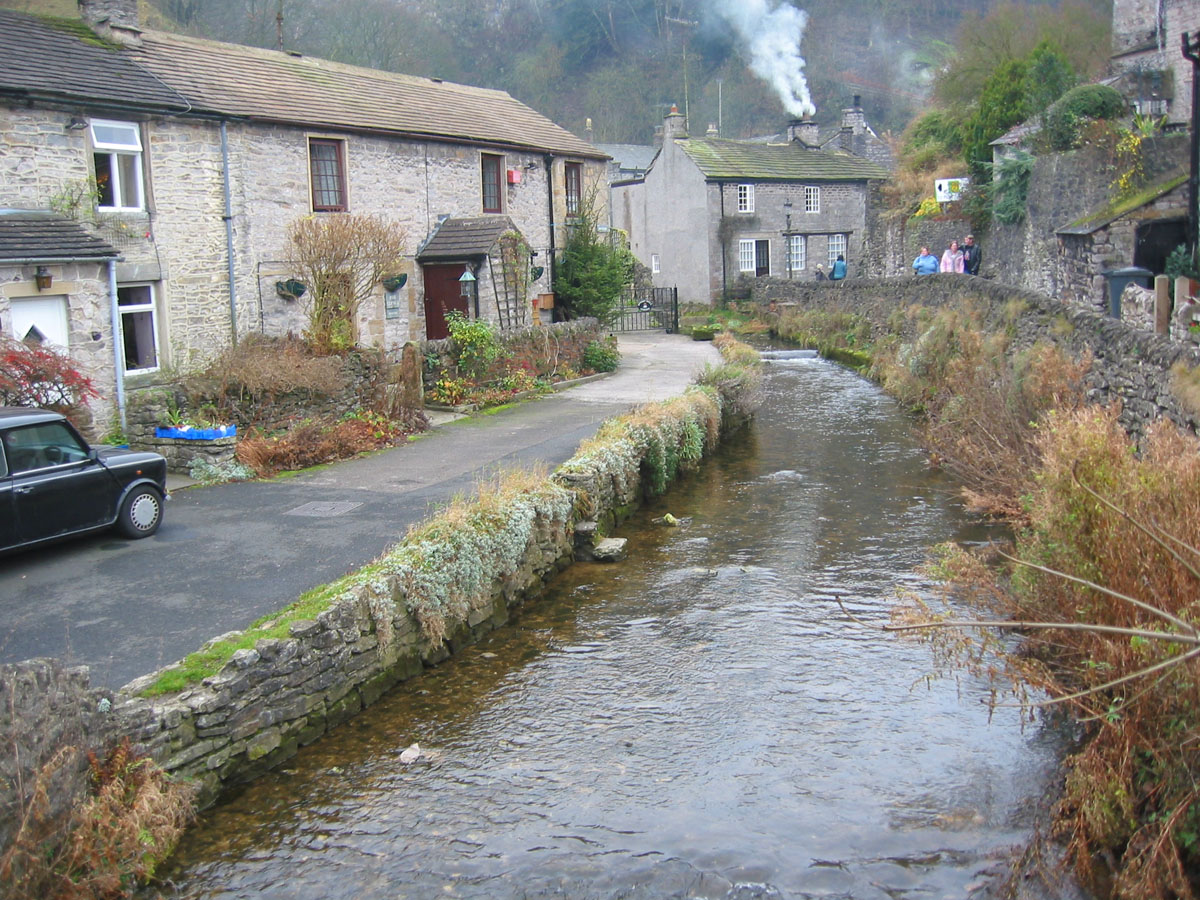
Peakshole Water
Peakshole Water is a stream in the Derbyshire Peak District named after its source, Peak Cavern. It flows through the village of Castleton to join the...

Cryer House
Cryer House is a 17th-century grade II listed country hall on Castle Street in Castleton, Derbyshire. == History == A smaller dwelling named Billson House...
Nearby Amenities
Located within 500m of 53.338763,-1.7768501Have you been to Cave Dale?
Leave your review of Cave Dale below (or comments, questions and feedback).