Castleton
Civil Parish in Derbyshire High Peak
England
Castleton
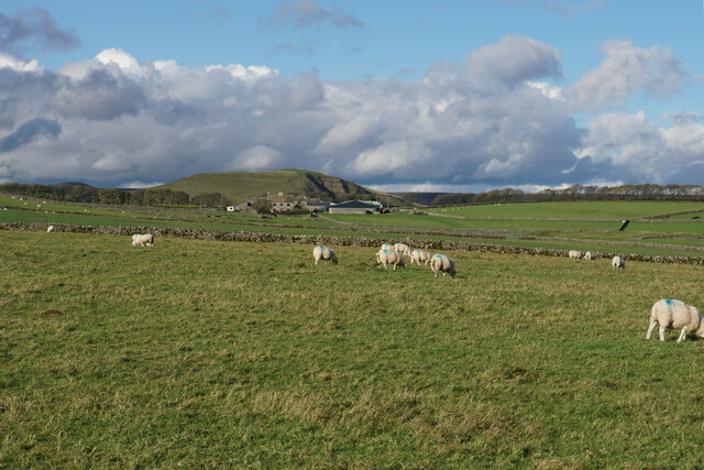
Castleton is a civil parish located in the High Peak district of Derbyshire, England. Situated in the heart of the Peak District National Park, it is a picturesque village renowned for its natural beauty and rich history. The parish covers an area of approximately 20 square kilometers and has a population of around 650 people.
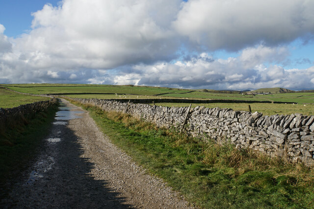
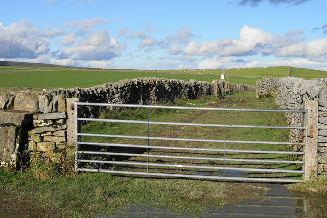
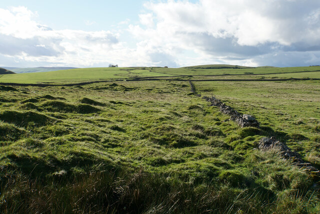
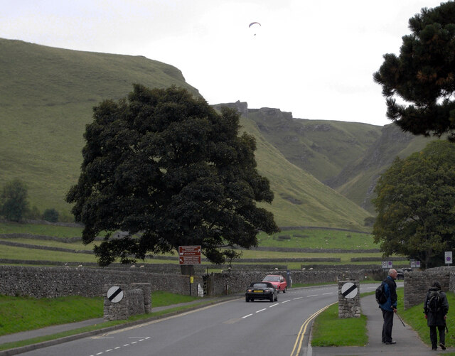
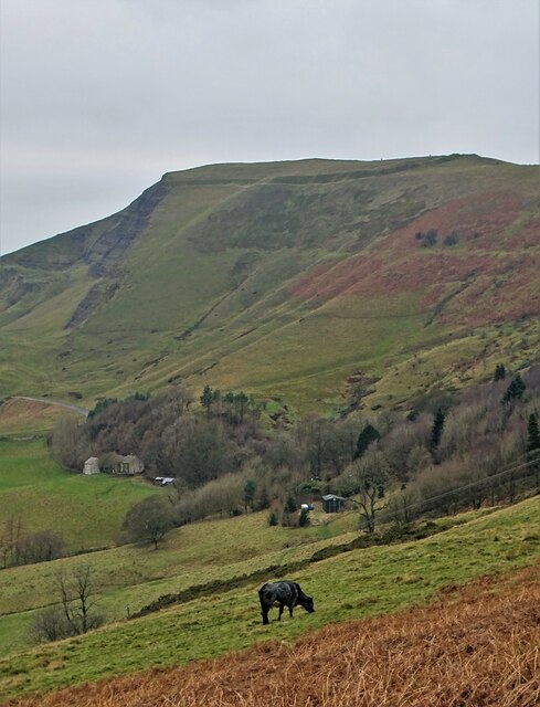
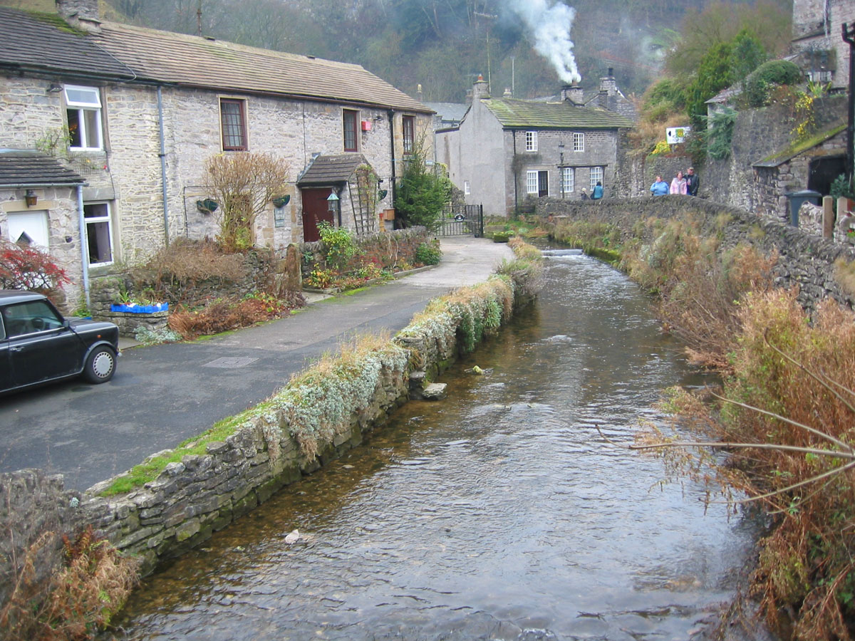
Nestled in the Hope Valley, Castleton is surrounded by stunning limestone hills and breathtaking landscapes. The village itself is characterized by its charming stone buildings and narrow streets, giving it a traditional and idyllic atmosphere.
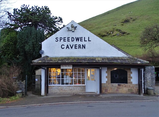
One of the main attractions in Castleton is the famous Peak Cavern, also known as the Devil's Arse due to the peculiar sounds emitted from the cave. This large cavern offers guided tours and is a popular spot for exploring the underground wonders of the area. Additionally, the village is home to four show caves: Speedwell Cavern, Treak Cliff Cavern, Blue John Cavern, and Peak Cavern.
Castleton is also renowned for its medieval Peveril Castle, which overlooks the village from a hilltop. Dating back to the 11th century, this historic castle offers panoramic views of the surrounding countryside and is a popular tourist destination.
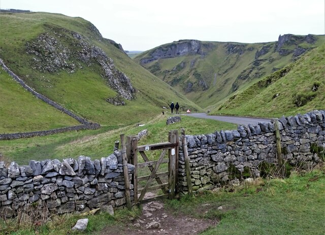
The village is a hub for outdoor activities, attracting hikers, climbers, and cyclists from all over the country. The challenging climbs of Winnats Pass and Mam Tor are nearby, providing breathtaking views from the hilltops.
In terms of amenities, Castleton offers a range of shops, cafes, and pubs, catering to both locals and visitors. The village has a vibrant community, hosting various events throughout the year, including the popular Garland Day in May.
Overall, Castleton is a charming and picturesque village that offers a unique blend of natural beauty, historic landmarks, and outdoor adventures. It is a must-visit destination for those seeking a quintessential Peak District experience.
If you have any feedback on the listing, please let us know in the comments section below.
Castleton Images
Images are sourced within 2km of 53.342/-1.788866 or Grid Reference SK1482. Thanks to Geograph Open Source API. All images are credited.


Castleton is located at Grid Ref: SK1482 (Lat: 53.342, Lng: -1.788866)
Administrative County: Derbyshire
District: High Peak
Police Authority: Derbyshire
What 3 Words
///belts.wheels.lifeguard. Near Hope Valley, Derbyshire
Nearby Locations
Related Wikis

Speedwell Cavern
Speedwell Cavern is one of the four show caves in Castleton, Derbyshire, England.The cave system consists of a horizontal lead miners' adit (a level passageway...

A625 road
The A625 is a rural road which runs through north Derbyshire and the Peak District in England. == Route == First named Ecclesall Road, it begins at the...
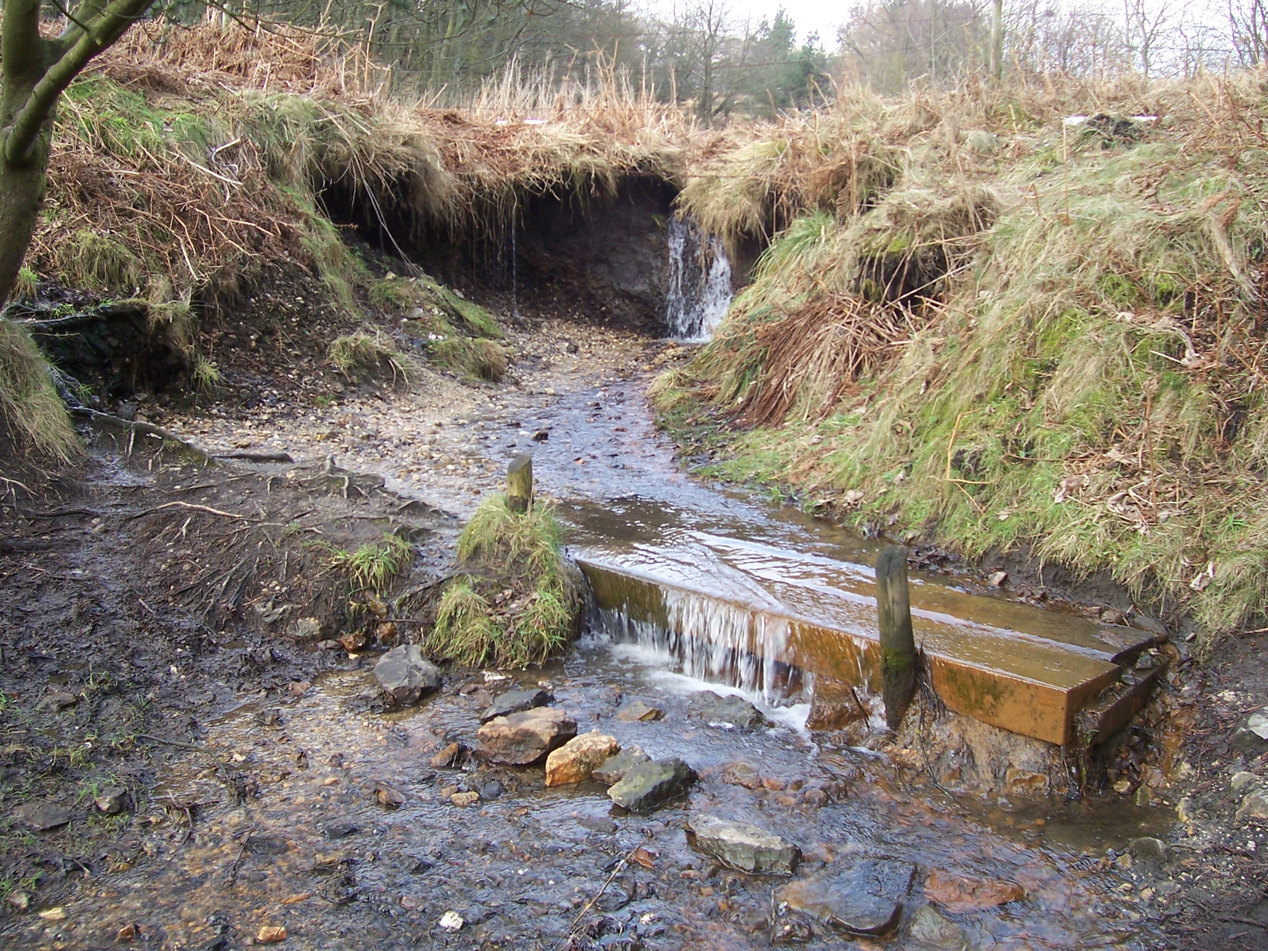
Odin Sitch
Odin Sitch is a stream in the Derbyshire Peak District, originating near Odin Mine on the slopes on Mam Tor in Castleton. The stream meets Peakshole Water...

Goosehill Hall
Goosehill Hall is an 18th-century Grade II listed country hall on the outskirts of Castleton, Derbyshire. == History == The current Hall was constructed...

Treak Cliff Cavern
Treak Cliff Cavern is a show cave near Castleton in Derbyshire, England. It is part of the Castleton Site of Special Scientific Interest and one of only...
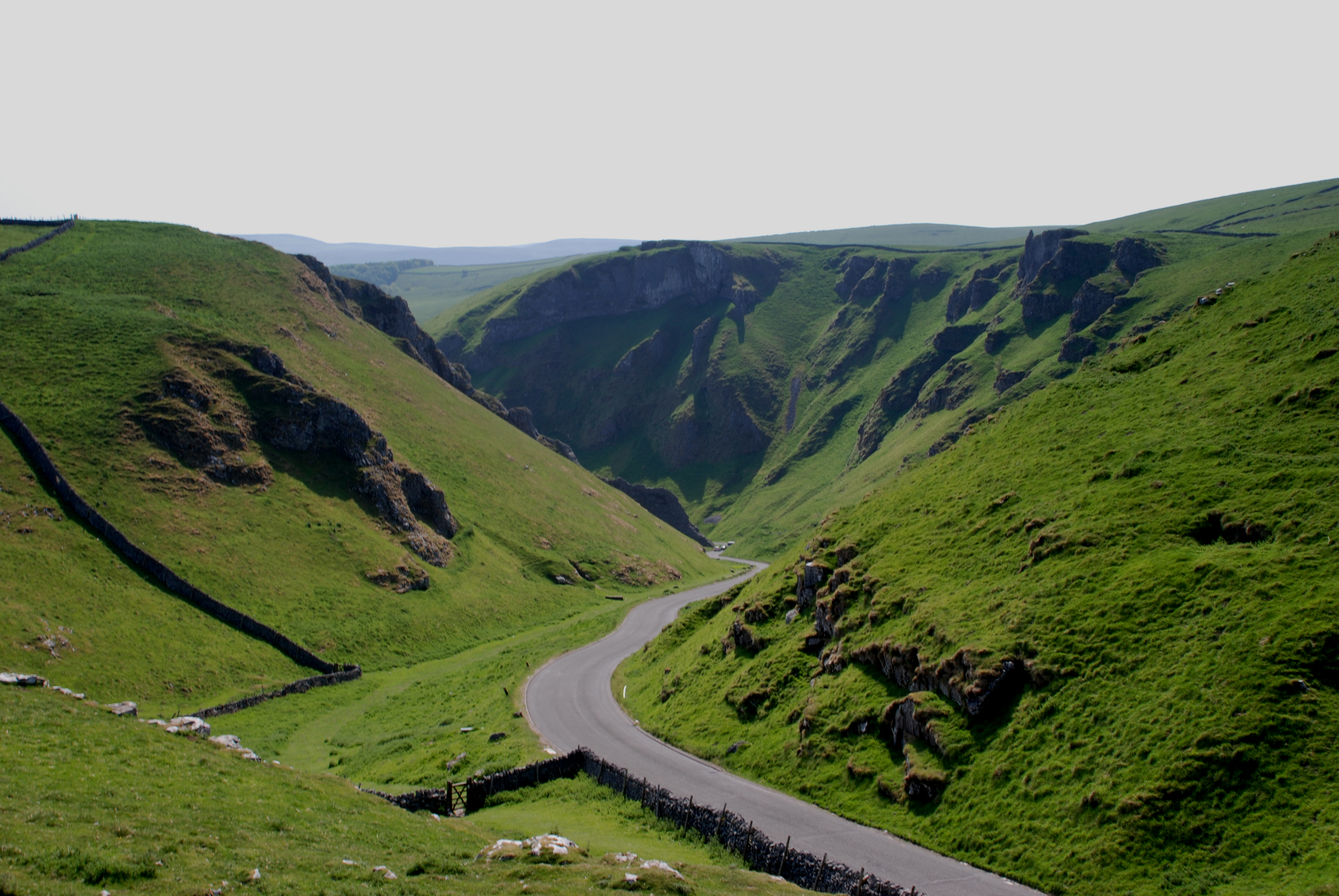
Winnats Pass
Winnats Pass (or Winnats, as shown on some Ordnance Survey maps) is a hill pass and limestone gorge in the Peak District of Derbyshire, England. The name...
Peakshole Water
Peakshole Water is a stream in the Derbyshire Peak District named after its source, Peak Cavern. It flows through the village of Castleton to join the...

Peak Cavern
The Peak Cavern, also known as the Devil's Arse, is one of the four show caves in Castleton, Derbyshire, England. Peakshole Water flows through and out...
Nearby Amenities
Located within 500m of 53.342,-1.788866Have you been to Castleton?
Leave your review of Castleton below (or comments, questions and feedback).