Hurdlow Plantation

Downs, Moorland in Derbyshire High Peak

England

Hurdlow Plantation

Sheep pastureland on Eldon Hill Looking towards Bradwell Moor.
Sheep pastureland on Eldon Hill Credit: Bill Boaden

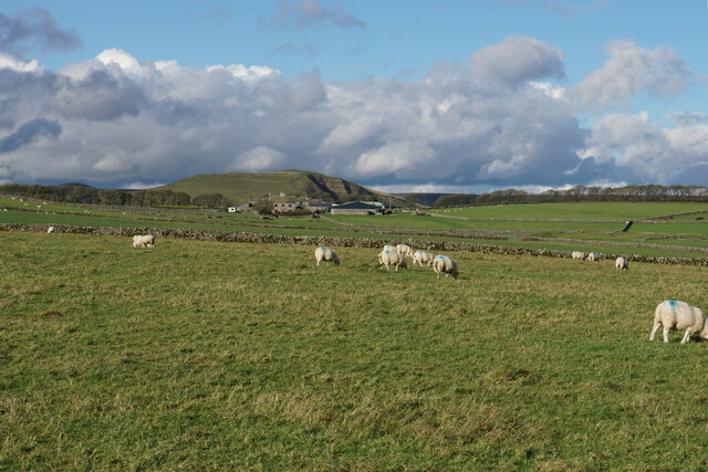
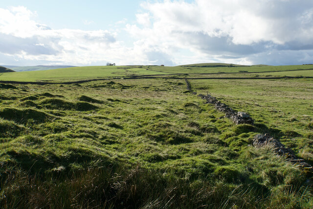
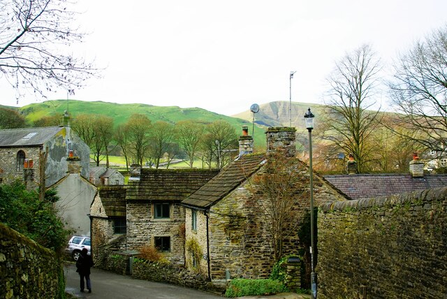
Hurdlow Plantation is a picturesque area located in Derbyshire, England. Situated on the scenic Derbyshire Downs, this plantation is known for its captivating moorland landscape. Spanning over a vast area, the plantation attracts visitors and nature enthusiasts from near and far.

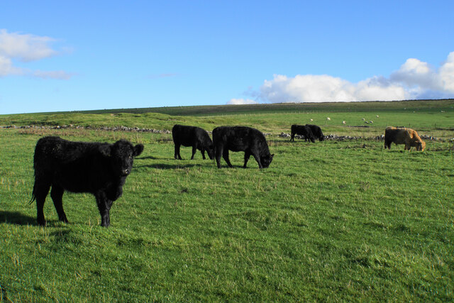
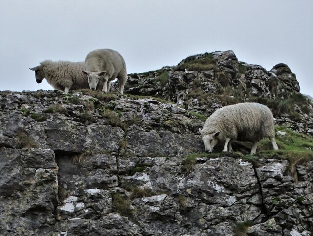
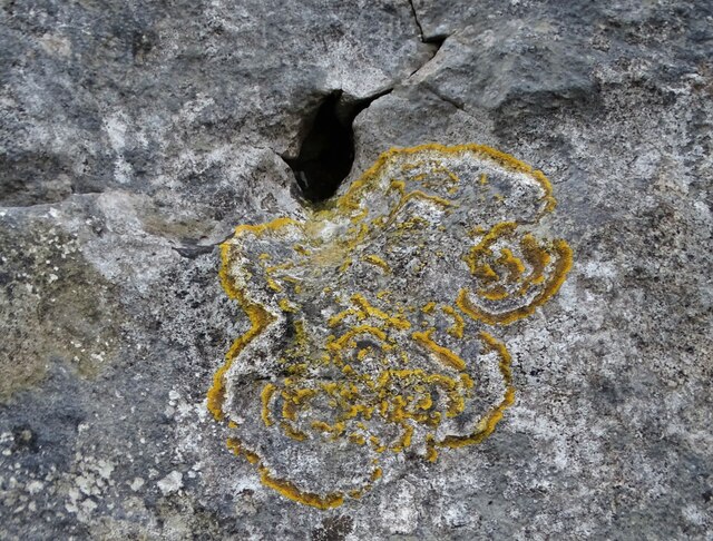
The plantation is home to a diverse range of flora and fauna, creating a haven for wildlife. The moorland is blanketed with heather, creating a stunning purple hue during the blooming season. Visitors can also spot various species of birds, including the iconic red grouse, as well as rabbits and deer that roam freely in the area.

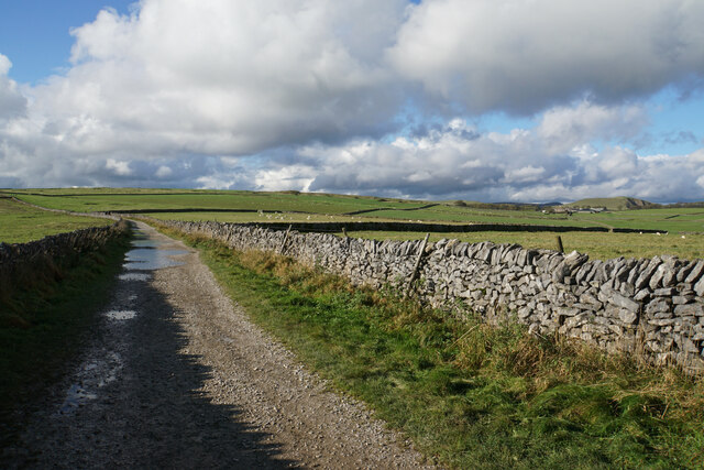
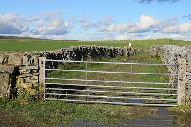
Hurdlow Plantation offers several walking trails and paths, allowing visitors to explore the natural beauty of the surroundings. These trails provide stunning panoramic views of the Derbyshire Downs and the nearby Peak District National Park. The plantation also connects to the popular Pennine Bridleway, which offers additional opportunities for outdoor activities such as horse riding and cycling.

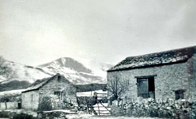
In addition to its natural beauty, Hurdlow Plantation is a historically significant site. It has been managed as a plantation for centuries, with evidence of human activity dating back to the Neolithic period. The plantation played a vital role in the local economy, providing timber for construction and fuel.

Overall, Hurdlow Plantation in Derbyshire offers a captivating blend of natural beauty, wildlife, and historical significance. Whether visitors are seeking a peaceful walk, birdwatching opportunities, or a glimpse into the region's past, this plantation provides a truly enriching experience for all who visit.

If you have any feedback on the listing, please let us know in the comments section below.

Hurdlow Plantation Images

Images are sourced within 2km of 53.336347/-1.7880206 or Grid Reference SK1482. Thanks to Geograph Open Source API. All images are credited.

Sheep pastureland on Eldon Hill Looking towards Bradwell Moor.
Sheep pastureland on Eldon Hill
Looking towards Bradwell Moor.
Bridleway on Eldon Hill A former mining track, and there are remains of mining activity on the surrounding moor. Straight ahead is Shatton Moor, and beyond that you can see Stanage Edge on the other side of the Derwent valley.
Bridleway on Eldon Hill
A former mining track, and there are remains of mining activity on the surrounding moor. Straight ahead is Shatton Moor, and beyond that you can see Stanage Edge on the other side of the Derwent valley.
Sheep on the eastern end of Eldon Hill Looking towards Rowter Farm. Mam Tor is behind the farm and you can see a lot of people on the top of it.
Sheep on the eastern end of Eldon Hill
Looking towards Rowter Farm. Mam Tor is behind the farm and you can see a lot of people on the top of it.
Byway onto Eldon Hill The byway bends to the right shortly, but a bridleway continues straight onto Eldon Hill. These routes stem from former mining activity.
Byway onto Eldon Hill
The byway bends to the right shortly, but a bridleway continues straight onto Eldon Hill. These routes stem from former mining activity.
Limestone Way towards Castleton
Rough grazing on Old Moor The land was once dominated by mining, but now supports grazing, mainly of sheep.
Rough grazing on Old Moor
The land was once dominated by mining, but now supports grazing, mainly of sheep.
Cattle on Old Moor Behind are some of the remains of Old Moor Mine.
Cattle on Old Moor
Behind are some of the remains of Old Moor Mine.
Muddy gateway on Old Moor Another bridleway branches off left at the gateway. The Limestone Way continues straight. I only took one false step through the mud, giving my boot a good covering. There are mining remains to the left of the wall. In the background is Mam Tor and behind that, part of the Kinder plateau.
Muddy gateway on Old Moor
Another bridleway branches off left at the gateway. The Limestone Way continues straight. I only took one false step through the mud, giving my boot a good covering. There are mining remains to the left of the wall. In the background is Mam Tor and behind that, part of the Kinder plateau.
Buxton Road (A6187) leaving Castleton for Winnat's Pass
Speedwell Cavern At the bottom of Winnats Pass. The shop - which specialises in the semi-precious gemstone blue john - leads to the cavern entrance where narrow boats take visitors deep into the limestone hillside.
Speedwell Cavern
At the bottom of Winnats Pass. The shop - which specialises in the semi-precious gemstone blue john - leads to the cavern entrance where narrow boats take visitors deep into the limestone hillside.
Near the head of Winnats Pass Looking down to what is essentially the remains of a primordial coral reef that was formed 340 million years ago.
Near the head of Winnats Pass
Looking down to what is essentially the remains of a primordial coral reef that was formed 340 million years ago.
Sheep grazing at the head of Winnats Pass
Neglected iron milepost at Windy Knoll By the road between Castleton and Chapel en le Frith
Neglected iron milepost at Windy Knoll
By the road between Castleton and Chapel en le Frith
Yellow scale lichen growing on limestone Near the head of Winnats Pass, Derbyshire
Yellow scale lichen growing on limestone
Near the head of Winnats Pass, Derbyshire
View towards Castleton from Mam Tor The view southeast towards Castleton from Mam Tor.
View towards Castleton from Mam Tor
The view southeast towards Castleton from Mam Tor.
Castleton barns and Mam Tor in snow about 1956 See <a title="https://www.geograph.org.uk/photo/6656040" href="https://www.geograph.org.uk/photo/6656040">Link</a> for the current state of these barns.
Castleton barns and Mam Tor in snow about 1956
See Link for the current state of these barns.
Church of St Edmund
Church of St Edmund
The Stones A quiet backwater with Mam Tor in the far distance
The Stones
A quiet backwater with Mam Tor in the far distance
Show me another place!

Hurdlow Plantation is located at Grid Ref: SK1482 (Lat: 53.336347, Lng: -1.7880206)

Administrative County: Derbyshire

District: High Peak

Police Authority: Derbyshire

What 3 Words

///blanket.growth.token. Near Hope Valley, Derbyshire

Related Wikis

Titan (cave)

Titan is a natural cavern near Castleton in the Derbyshire Peak District, and is the deepest shaft of any known cave in Britain, at 141.5 metres (464 ft...
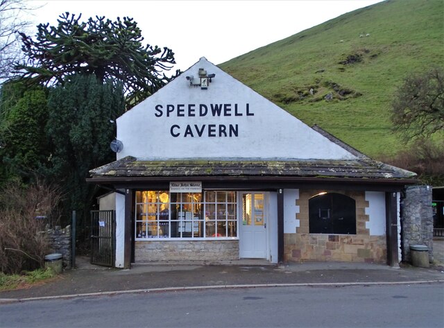
Speedwell Cavern

Speedwell Cavern is one of the four show caves in Castleton, Derbyshire, England.The cave system consists of a horizontal lead miners' adit (a level passageway...

A625 road

The A625 is a rural road which runs through north Derbyshire and the Peak District in England. == Route == First named Ecclesall Road, it begins at the...
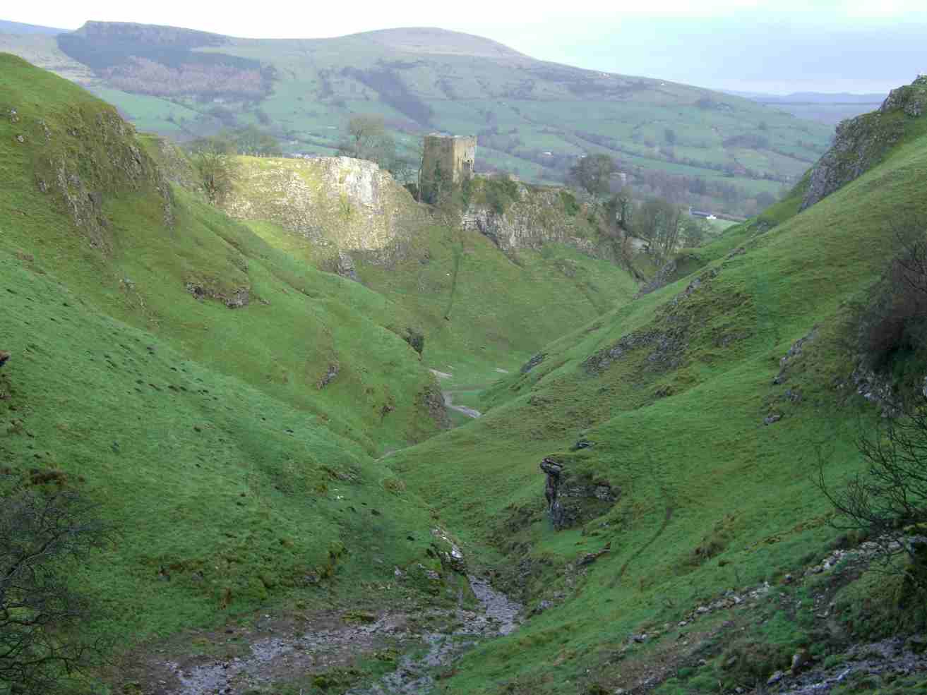
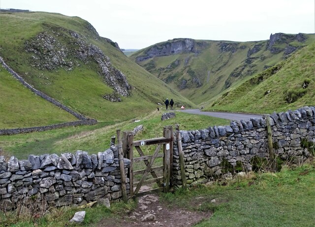
Cave Dale

Cave Dale (sometimes spelt Cavedale) is a dry limestone valley in the Derbyshire Peak District, England. It is located at grid reference SK149824. The...

Goosehill Hall

Goosehill Hall is an 18th-century Grade II listed country hall on the outskirts of Castleton, Derbyshire. == History == The current Hall was constructed...

Peak Cavern

The Peak Cavern, also known as the Devil's Arse, is one of the four show caves in Castleton, Derbyshire, England. Peakshole Water flows through and out...
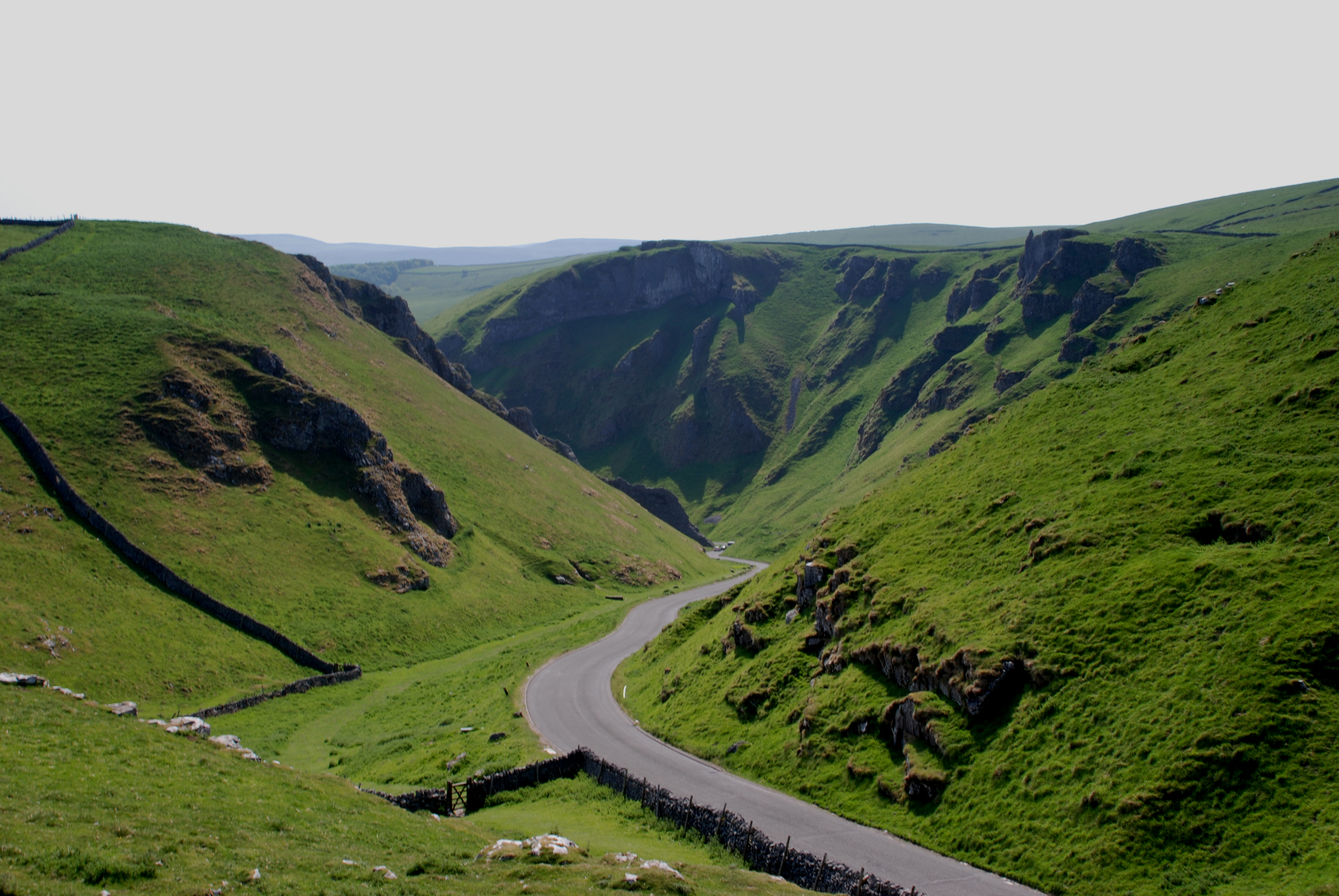
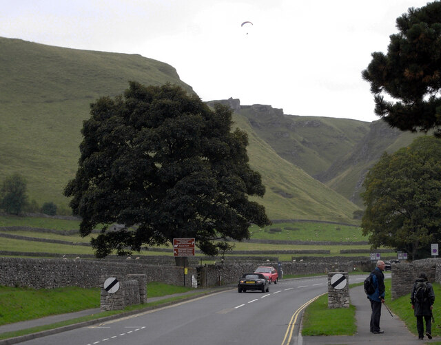
Winnats Pass

Winnats Pass (or Winnats, as shown on some Ordnance Survey maps) is a hill pass and limestone gorge in the Peak District of Derbyshire, England. The name...
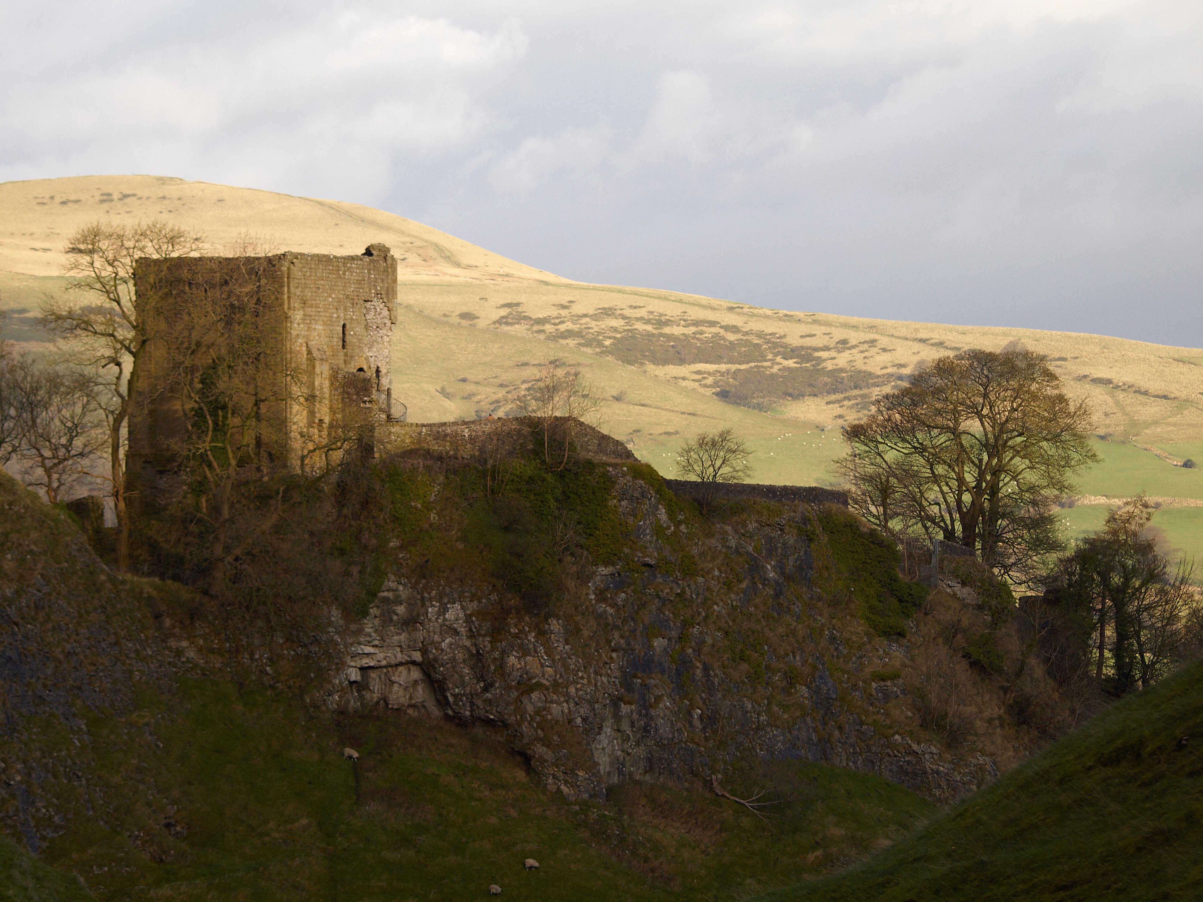
Peveril Castle

Peveril Castle (also Castleton Castle or Peak Castle) is a ruined 11th-century castle overlooking the village of Castleton in the English county of Derbyshire...

Nearby Amenities

Located within 500m of 53.336347,-1.7880206
Barrier: stile
Lat/Long: 53.3350673/-1.7924555
Titan Shaft
Access: private
Created By: Merkaartor 0.13
Natural: cave_entrance
Lat/Long: 53.3332856/-1.7932164
Created By: Merkaartor 0.13
Lat/Long: 53.333169/-1.7929644
Created By: Merkaartor 0.13
Lat/Long: 53.3333299/-1.7929064
Created By: Merkaartor 0.13
Lat/Long: 53.3333653/-1.7933125
Created By: Merkaartor 0.13
Lat/Long: 53.3332576/-1.7933479
Barrier: entrance
Source: survey;gps
Lat/Long: 53.3358166/-1.7876512
Note: There is no stile or gate here. People have moved the wire fence up so you can get under it and piled rocks up so you can get over the wall.
Lat/Long: 53.3377818/-1.7885655
Barrier: kissing_gate
Lat/Long: 53.3377999/-1.7886085
Barrier: kissing_gate
Lat/Long: 53.3377715/-1.7905904
The data included in this document is from www.openstreetmap.org. The data is made available under ODbL.

Have you been to Hurdlow Plantation?

Leave your review of Hurdlow Plantation below (or comments, questions and feedback).