Peveril Castle
Heritage Site in Derbyshire High Peak
England
Peveril Castle
The requested URL returned error: 429 Too Many Requests
If you have any feedback on the listing, please let us know in the comments section below.
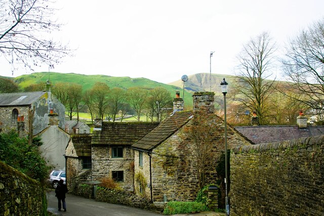
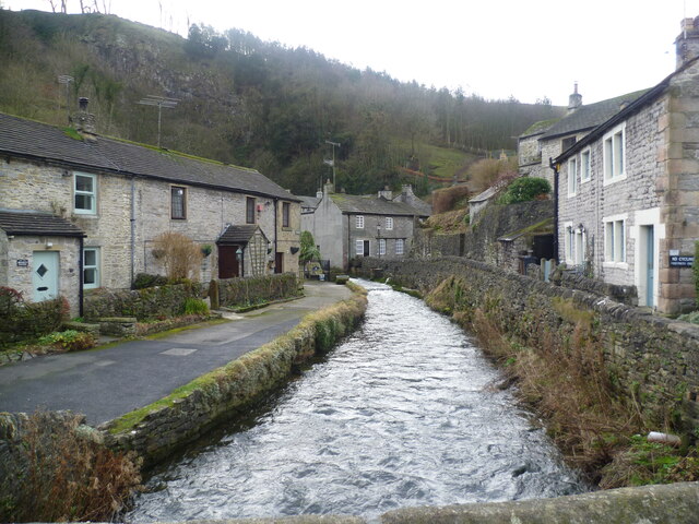
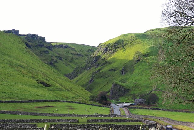
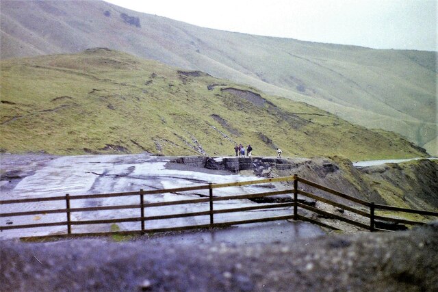
Peveril Castle Images
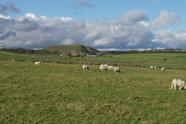
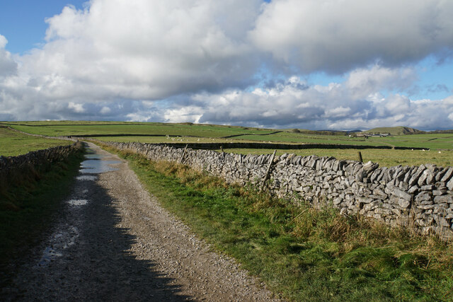
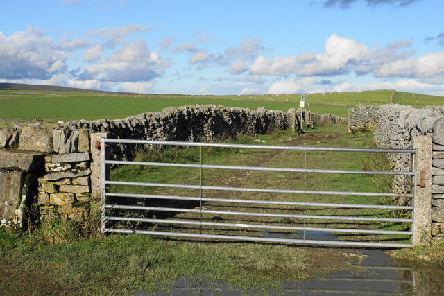
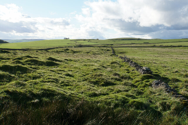
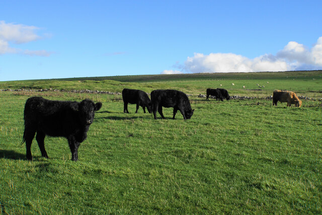
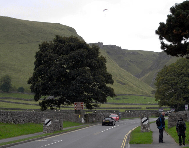
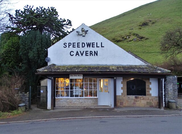
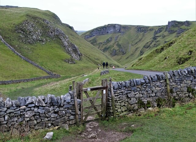
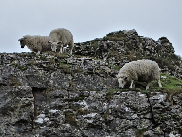
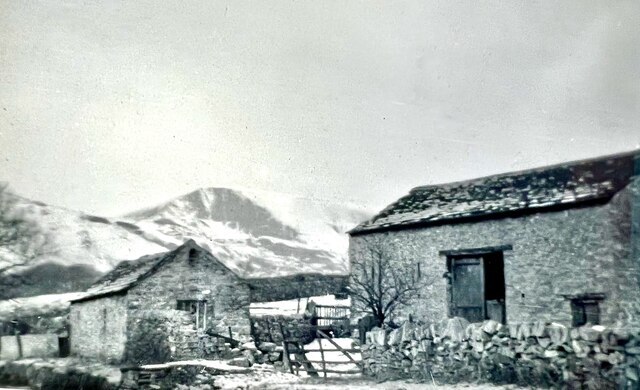
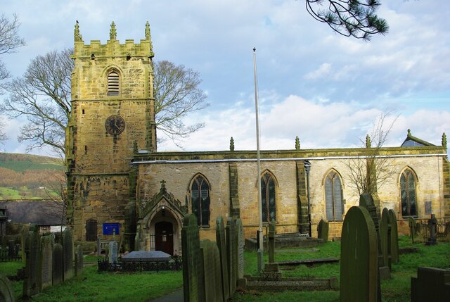
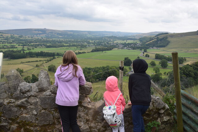
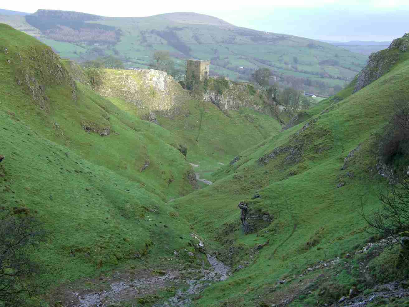
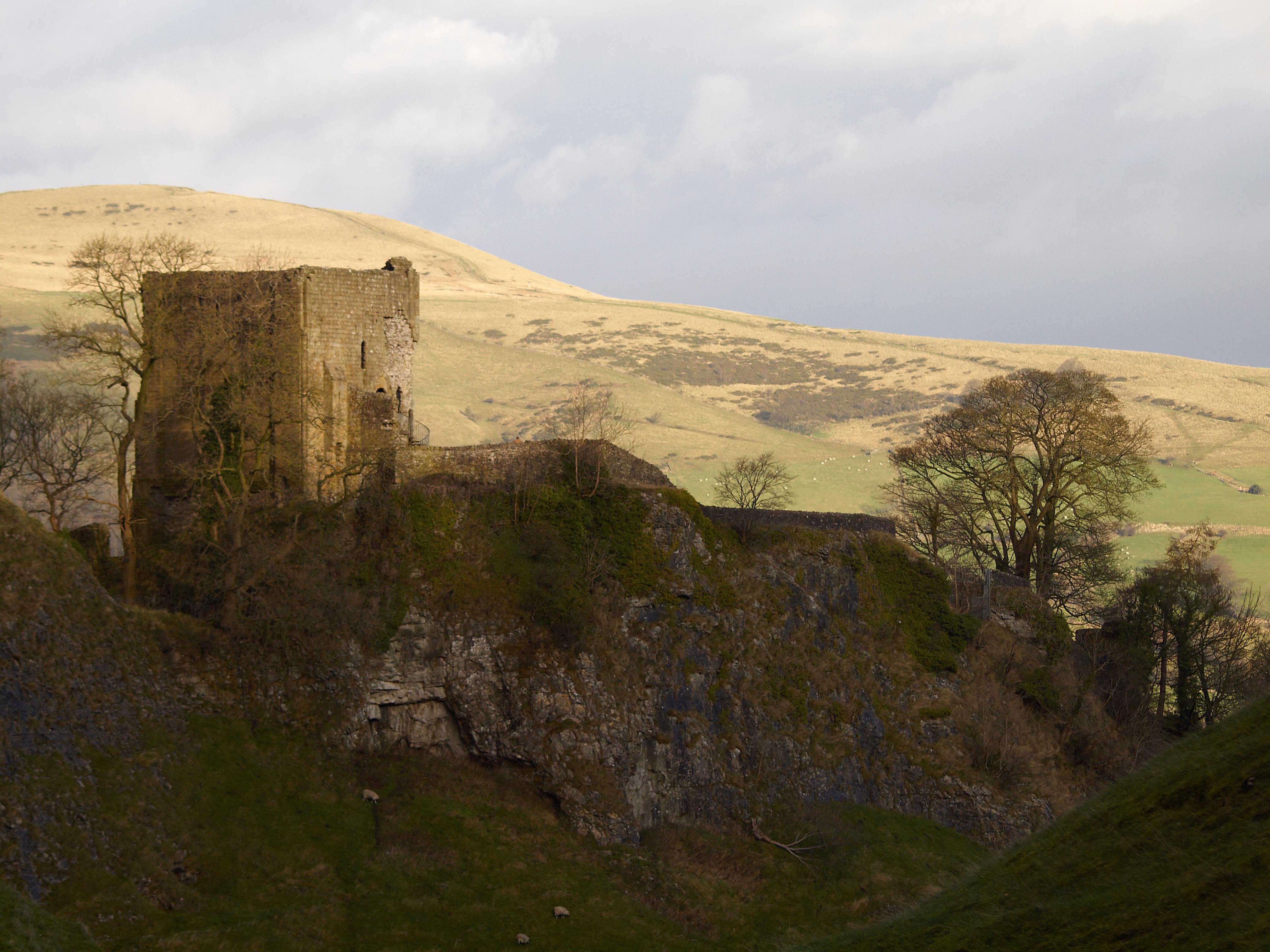
Images are sourced within 2km of 53.338/-1.782 or Grid Reference SK1482. Thanks to Geograph Open Source API. All images are credited.
Peveril Castle is located at Grid Ref: SK1482 (Lat: 53.338, Lng: -1.782)
Administrative County: Derbyshire
District: High Peak
Police Authority: Derbyshire
What 3 Words
///warms.penned.simmer. Near Hope Valley, Derbyshire
Nearby Locations
Related Wikis
Cave Dale
Cave Dale (sometimes spelt Cavedale) is a dry limestone valley in the Derbyshire Peak District, England. It is located at grid reference SK149824. The...

Peak Cavern
The Peak Cavern, also known as the Devil's Arse, is one of the four show caves in Castleton, Derbyshire, England. Peakshole Water flows through and out...

Goosehill Hall
Goosehill Hall is an 18th-century Grade II listed country hall on the outskirts of Castleton, Derbyshire. == History == The current Hall was constructed...
Peveril Castle
Peveril Castle (also Castleton Castle or Peak Castle) is a ruined 11th-century castle overlooking the village of Castleton in the English county of Derbyshire...
Nearby Amenities
Located within 500m of 53.338,-1.782Have you been to Peveril Castle?
Leave your review of Peveril Castle below (or comments, questions and feedback).