Longcliff Plantation
Downs, Moorland in Derbyshire High Peak
England
Longcliff Plantation

Longcliff Plantation is a picturesque estate located in the scenic countryside of Derbyshire, nestled amidst the rolling Downs and Moorland. Spanning over a vast area, this historic plantation offers a captivating blend of natural beauty and rich cultural heritage.
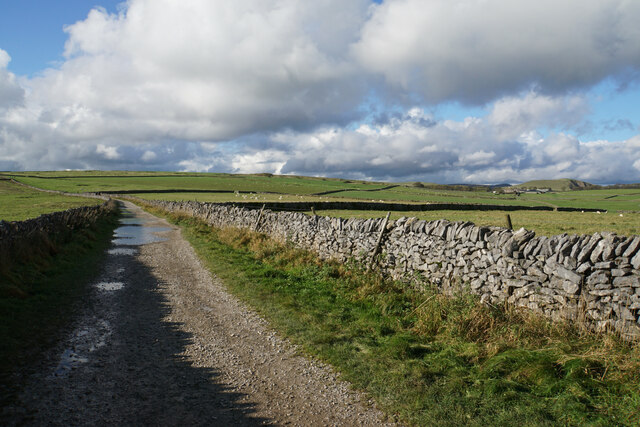
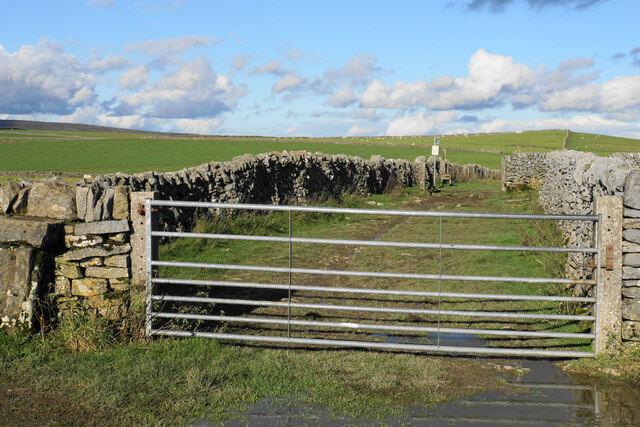
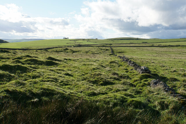
The main feature of Longcliff Plantation is its extensive woodland, which covers the majority of the estate. Towering oak and beech trees dominate the landscape, creating a serene and tranquil atmosphere. Walking trails meander through the woods, providing visitors with the opportunity to explore and immerse themselves in the stunning surroundings.
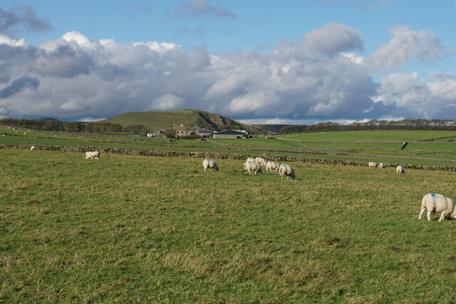
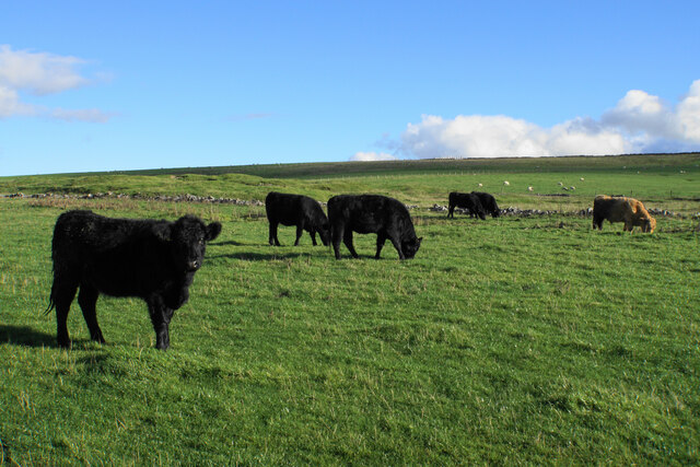
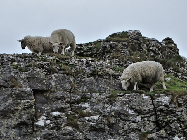
The plantation is home to a diverse range of wildlife, making it a haven for nature enthusiasts. Birdwatchers can spot various species, including woodpeckers, owls, and rare migratory birds. Additionally, the estate boasts a thriving population of deer, squirrels, and rabbits, adding to its natural charm.
At the heart of Longcliff Plantation lies a beautifully preserved Georgian mansion. Built in the early 19th century, the mansion showcases exquisite architecture and period decor. Visitors can take guided tours of the interior, marveling at the grandeur of the reception rooms, elegant ballrooms, and opulent bedrooms.
The estate also features well-maintained gardens, with meticulously manicured lawns and vibrant flower beds. These gardens provide a delightful setting for leisurely strolls or picnics, offering stunning views of the surrounding countryside.
Longcliff Plantation is not only a place of natural beauty but also a cultural hub. Throughout the year, the estate hosts various events, such as art exhibitions, music concerts, and traditional fairs, allowing visitors to experience the local arts and traditions.
Overall, Longcliff Plantation is a captivating destination that offers a harmonious blend of natural splendor and cultural richness. It provides an ideal escape from the hustle and bustle of urban life, allowing visitors to immerse themselves in a truly enchanting countryside experience.
If you have any feedback on the listing, please let us know in the comments section below.
Longcliff Plantation Images
Images are sourced within 2km of 53.337627/-1.7896512 or Grid Reference SK1482. Thanks to Geograph Open Source API. All images are credited.


Longcliff Plantation is located at Grid Ref: SK1482 (Lat: 53.337627, Lng: -1.7896512)
Administrative County: Derbyshire
District: High Peak
Police Authority: Derbyshire
What 3 Words
///paused.smarting.hexes. Near Hope Valley, Derbyshire
Nearby Locations
Related Wikis

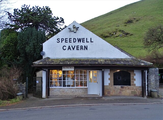
Speedwell Cavern
Speedwell Cavern is one of the four show caves in Castleton, Derbyshire, England.The cave system consists of a horizontal lead miners' adit (a level passageway...

Titan (cave)
Titan is a natural cavern near Castleton in the Derbyshire Peak District, and is the deepest shaft of any known cave in Britain, at 141.5 metres (464 ft...

A625 road
The A625 is a rural road which runs through north Derbyshire and the Peak District in England. == Route == First named Ecclesall Road, it begins at the...
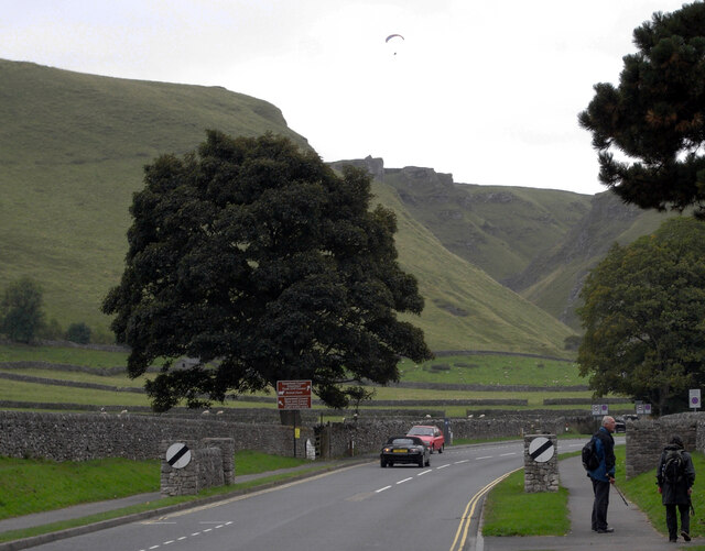
Winnats Pass
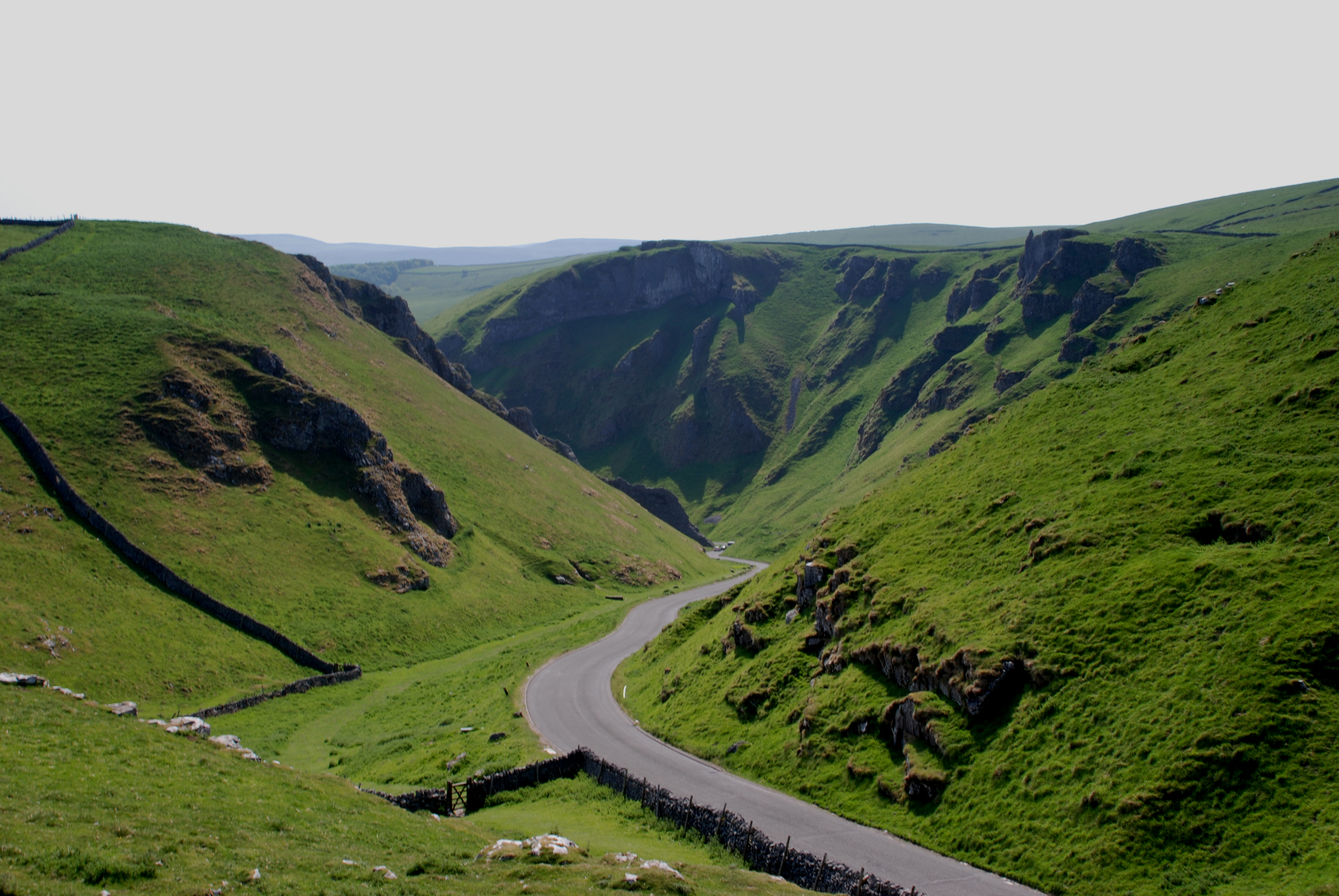
Winnats Pass (or Winnats, as shown on some Ordnance Survey maps) is a hill pass and limestone gorge in the Peak District of Derbyshire, England. The name...

Goosehill Hall
Goosehill Hall is an 18th-century Grade II listed country hall on the outskirts of Castleton, Derbyshire. == History == The current Hall was constructed...

Peak Cavern
The Peak Cavern, also known as the Devil's Arse, is one of the four show caves in Castleton, Derbyshire, England. Peakshole Water flows through and out...
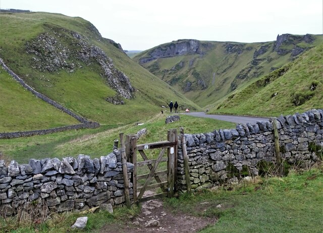
Cave Dale
Cave Dale (sometimes spelt Cavedale) is a dry limestone valley in the Derbyshire Peak District, England. It is located at grid reference SK149824. The...
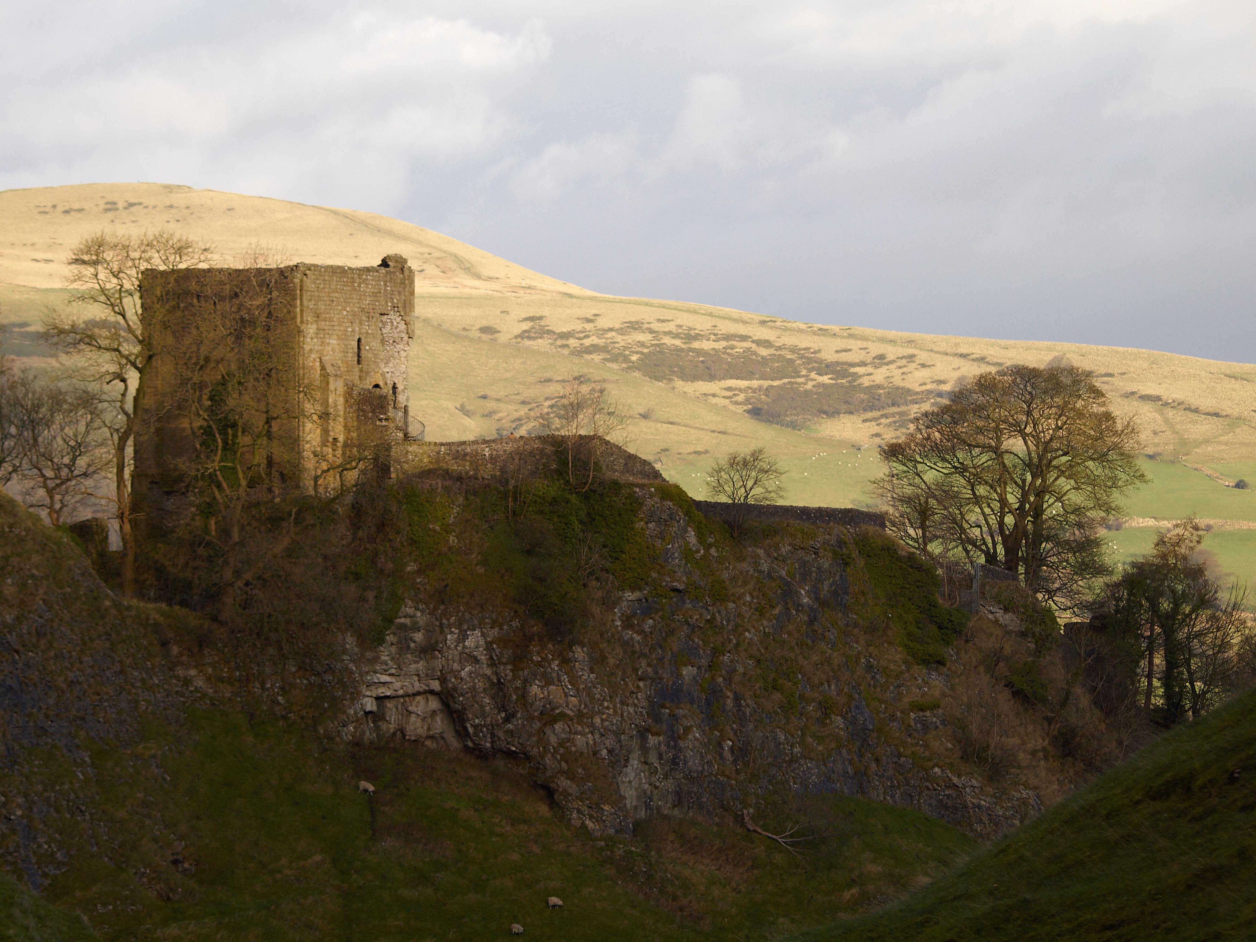
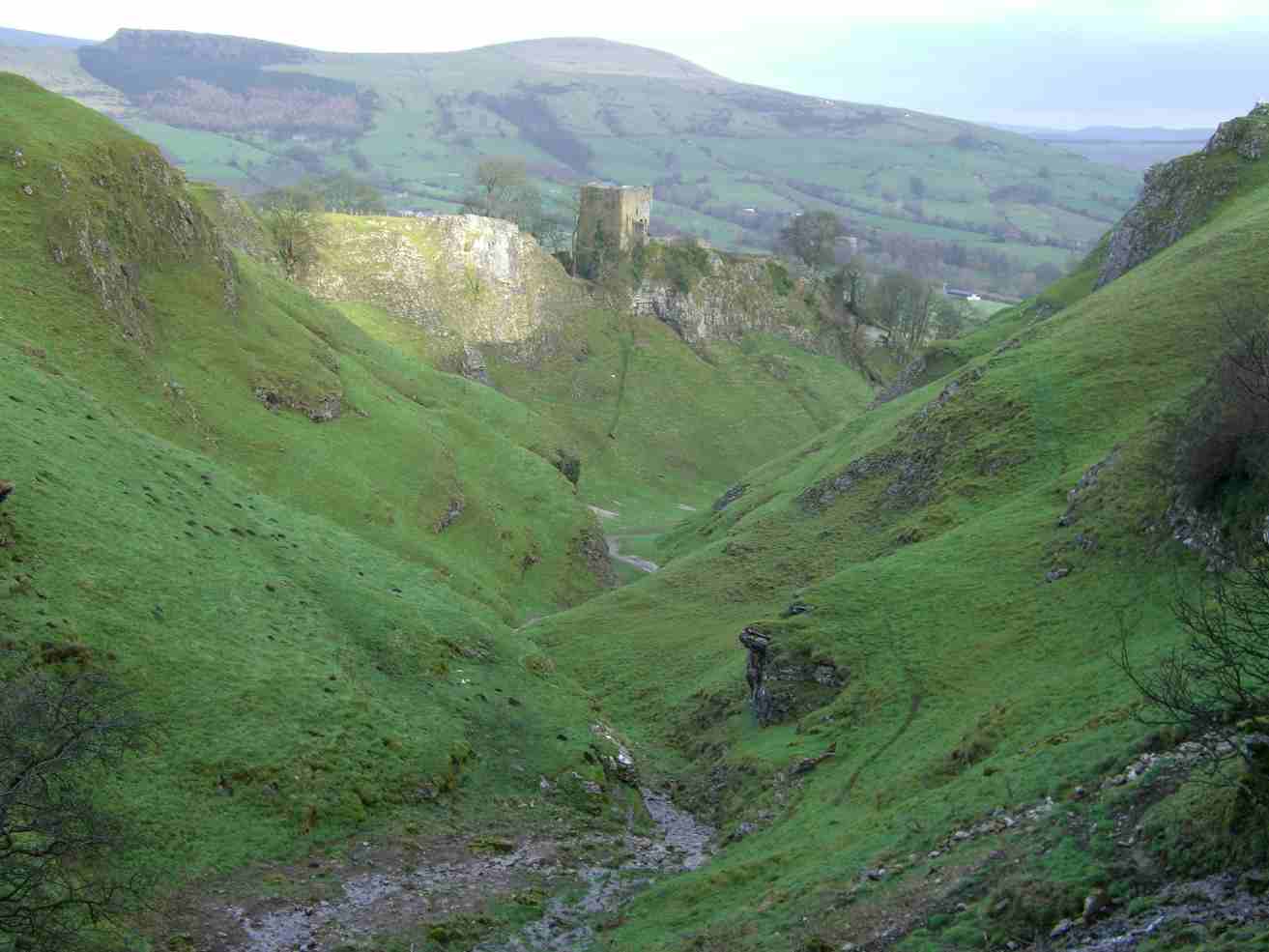
Peveril Castle
Peveril Castle (also Castleton Castle or Peak Castle) is a ruined 11th-century castle overlooking the village of Castleton in the English county of Derbyshire...
Nearby Amenities
Located within 500m of 53.337627,-1.7896512Have you been to Longcliff Plantation?
Leave your review of Longcliff Plantation below (or comments, questions and feedback).