Ollerbrook Clough
Valley in Derbyshire High Peak
England
Ollerbrook Clough
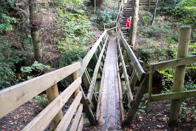
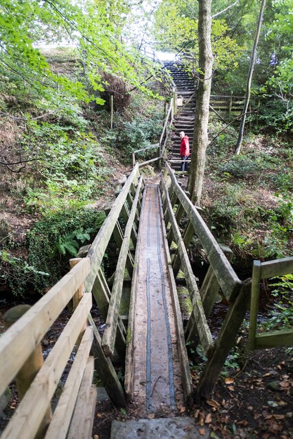
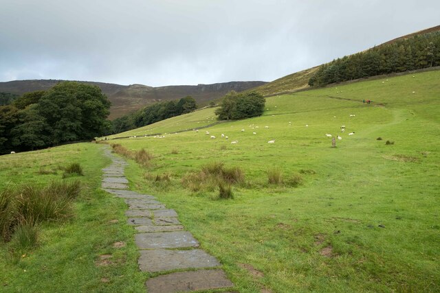
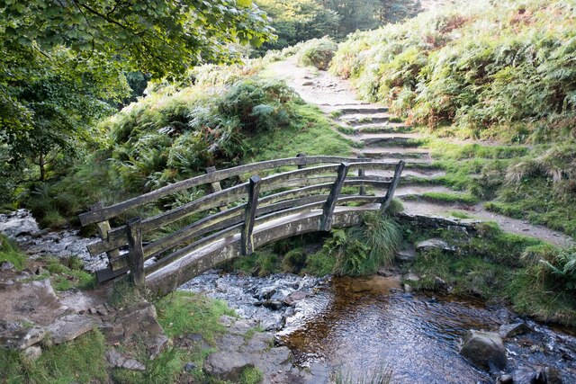
Ollerbrook Clough is a picturesque valley located in Derbyshire, England. It is situated in the Peak District National Park, near the village of Edale. The clough, which is a local term for a steep-sided valley, is known for its outstanding natural beauty and is a popular destination for hikers and nature lovers.
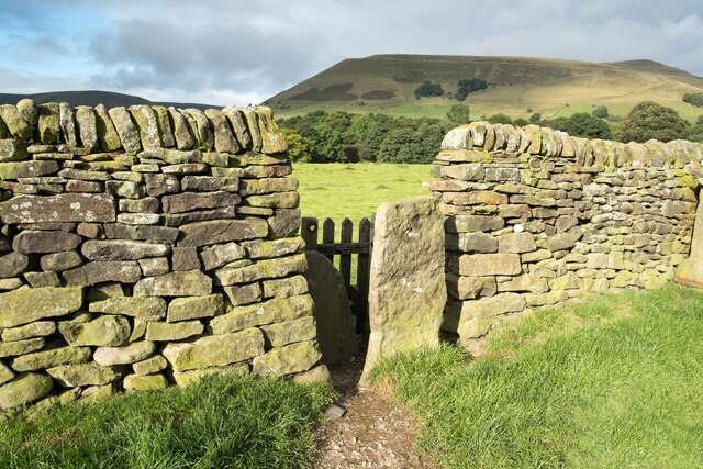
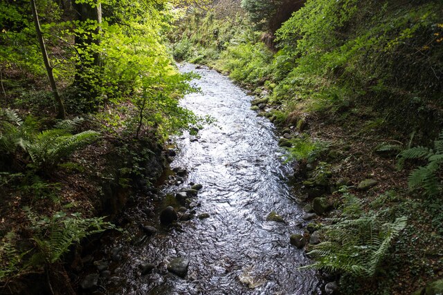
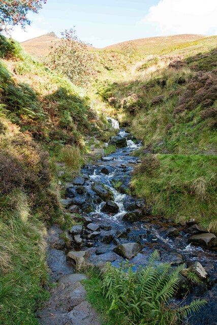
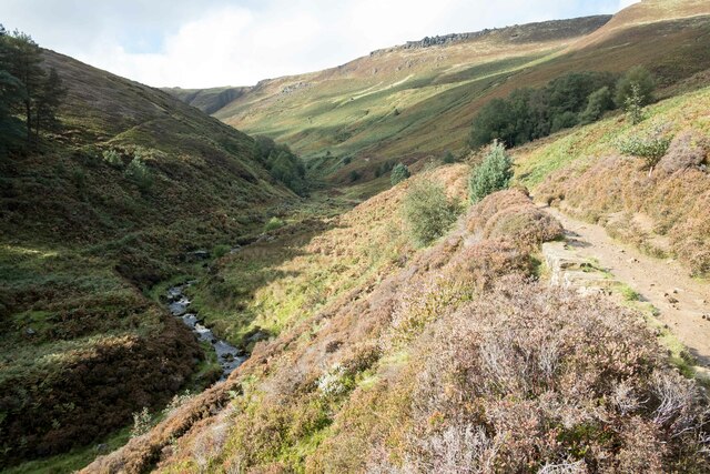
The valley is characterized by its rugged terrain, with steep slopes covered in heather, mosses, and grasses. It is crisscrossed by a babbling brook that meanders through the valley, adding to its charm. The brook is fed by several small waterfalls that cascade down the rocky slopes, creating a soothing sound that adds to the tranquil atmosphere.
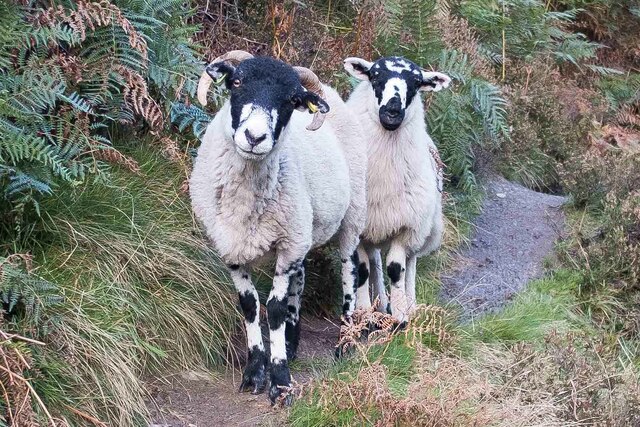
Ollerbrook Clough is home to a diverse range of flora and fauna. The valley is covered in a patchwork of heather moorland, grassland, and woodland, providing habitats for a variety of plant and animal species. Visitors to the clough may encounter native birds such as red grouse, curlews, and skylarks, as well as small mammals like voles and shrews.
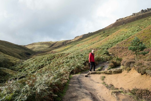
The valley offers numerous walking trails, ranging from easy strolls to more challenging hikes. One popular route is the hike up to Kinder Scout, the highest point in the Peak District. This trail provides stunning views of the surrounding countryside and allows visitors to appreciate the grandeur of the clough from above.
Overall, Ollerbrook Clough is a natural gem in the heart of Derbyshire, offering visitors a chance to immerse themselves in the beauty of the Peak District's landscapes and wildlife.
If you have any feedback on the listing, please let us know in the comments section below.
Ollerbrook Clough Images
Images are sourced within 2km of 53.378842/-1.807397 or Grid Reference SK1286. Thanks to Geograph Open Source API. All images are credited.
Ollerbrook Clough is located at Grid Ref: SK1286 (Lat: 53.378842, Lng: -1.807397)
Administrative County: Derbyshire
District: High Peak
Police Authority: Derbyshire
What 3 Words
///down.shackles.biked. Near High Peak, Derbyshire
Nearby Locations
Related Wikis

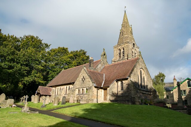
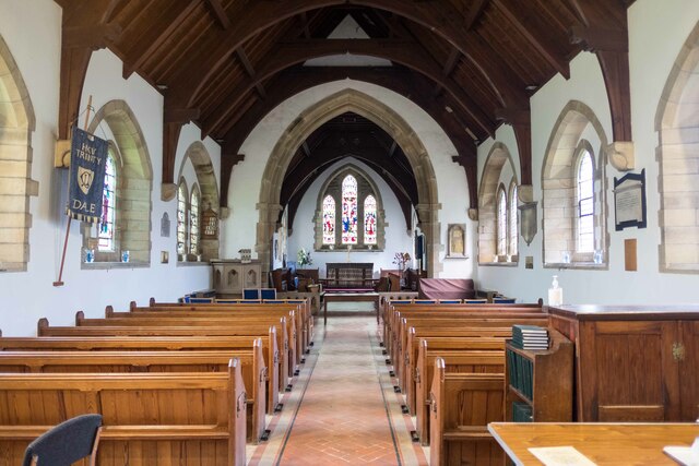
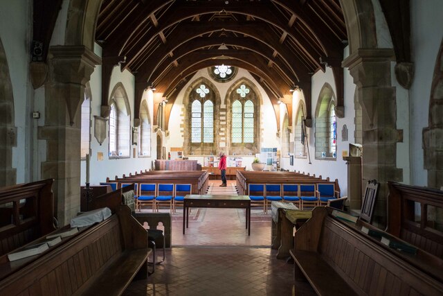
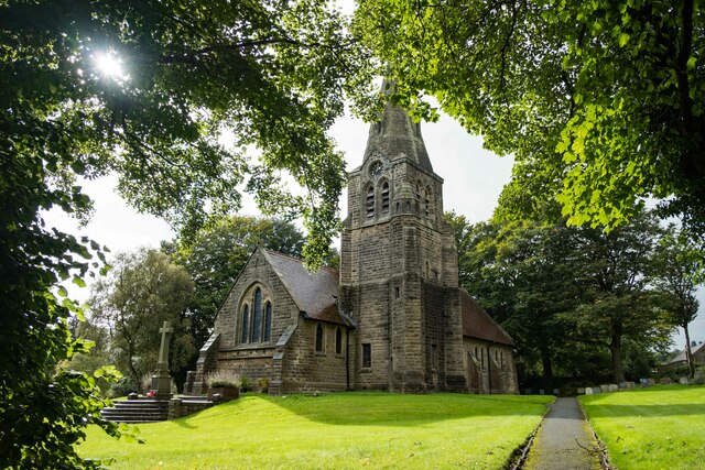
The Church of the Holy and Undivided Trinity, Edale
The Church of the Holy and Undivided Trinity, Edale, is a Grade II listed parish church in the Church of England in Edale, Derbyshire. == History == The...

Edale
Edale is a village and civil parish in the Peak District, Derbyshire, England, whose population was 353 at the 2011 Census. Edale, with an area of 7,030...
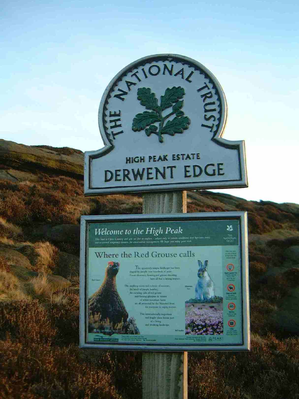
High Peak Estate
The High Peak Estate is an area of Pennine moorland in the ownership of the National Trust in the Dark Peak area of Derbyshire, England. The National...
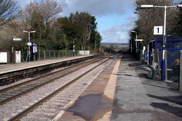
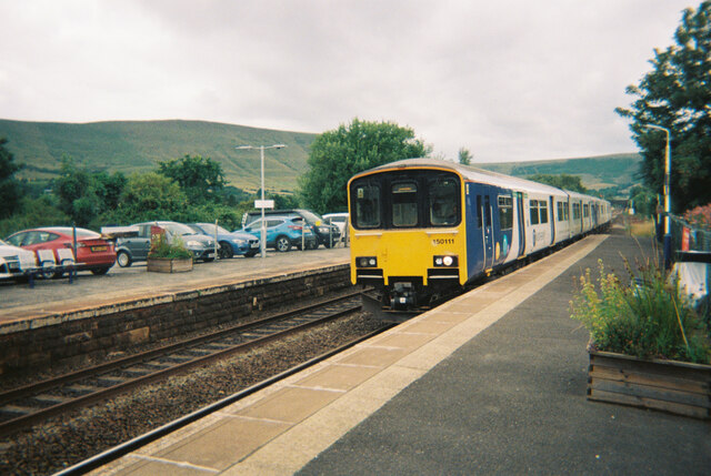
Edale railway station
Edale railway station serves the rural village of Edale in the Derbyshire Peak District, in England. It is located 20 miles (32 km) west of Sheffield and...
Nearby Amenities
Located within 500m of 53.378842,-1.807397Have you been to Ollerbrook Clough?
Leave your review of Ollerbrook Clough below (or comments, questions and feedback).