McNeil Bottoms

Valley in Durham

England

McNeil Bottoms

Access road for Carrwood Hill Farm The access road for Carrwood Hill Farm leaves a minor road, Howlea Lane, above the valley of Harthope Beck.
Access road for Carrwood Hill Farm Credit: Trevor Littlewood

McNeil Bottoms, also known as Durham Valley, is a scenic area located in Durham, North Carolina. It is situated along the banks of the Eno River, providing visitors with breathtaking views and a tranquil ambiance. McNeil Bottoms is part of the larger Eno River State Park, which spans over 4,000 acres of protected land.

This natural area is characterized by its lush forests, rocky outcrops, and diverse wildlife. The valley is home to a variety of plant and animal species, including white-tailed deer, raccoons, and numerous bird species. The Eno River itself is a popular spot for fishing, kayaking, and canoeing, attracting outdoor enthusiasts of all kinds.

McNeil Bottoms offers a range of recreational opportunities for visitors. Hiking trails wind through the park, providing access to scenic overlooks and secluded picnic spots. The area is also known for its historic landmarks, with remnants of old mills and homesteads dotting the landscape. These historical sites offer a glimpse into the region's rich past and provide educational experiences for those interested in local history.

Overall, McNeil Bottoms, Durham (Valley) is a natural oasis in the heart of Durham, offering a peaceful retreat for nature lovers and outdoor enthusiasts. With its stunning beauty and diverse wildlife, it is a must-visit destination for anyone seeking a break from the hustle and bustle of city life.

If you have any feedback on the listing, please let us know in the comments section below.

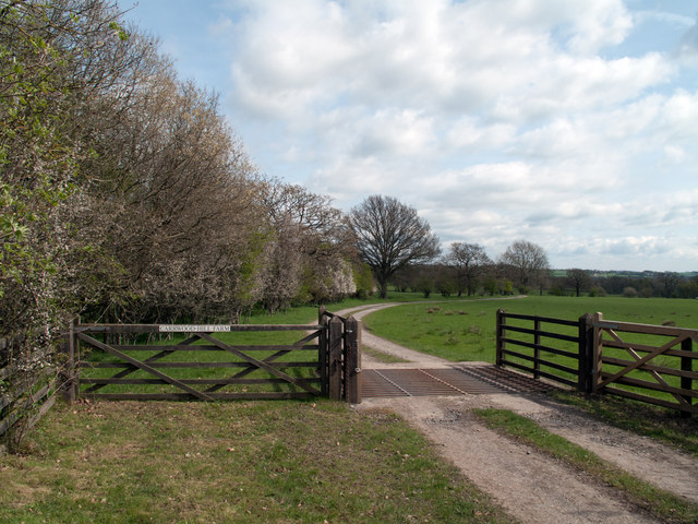
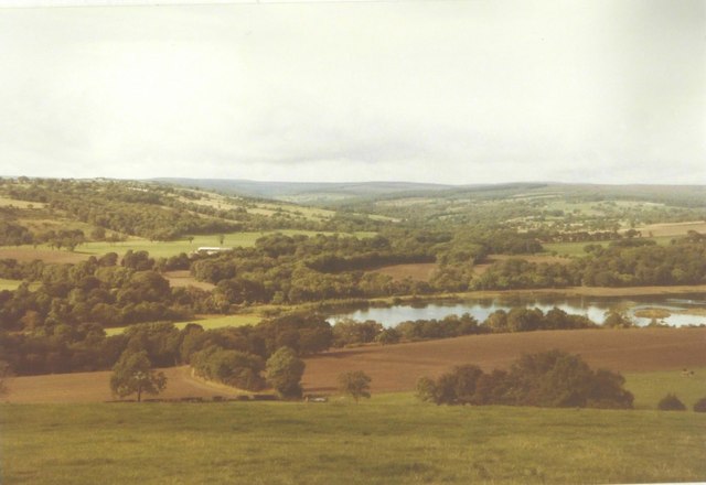
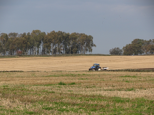
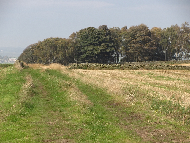
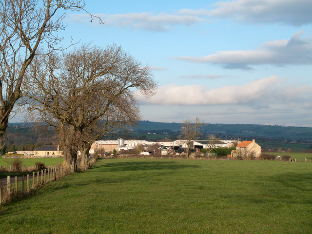
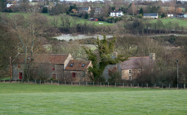
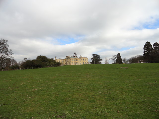
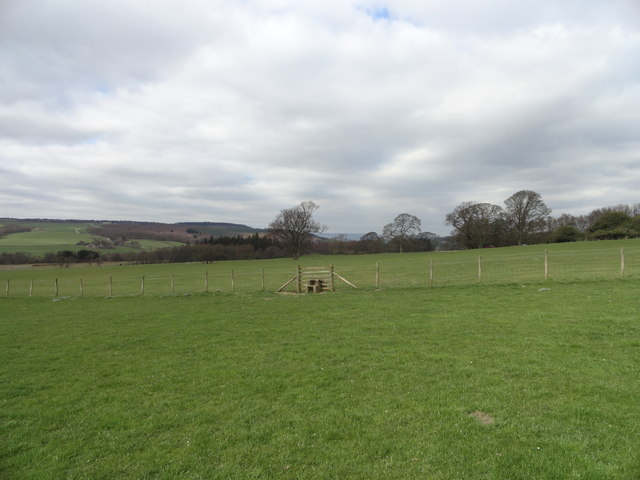
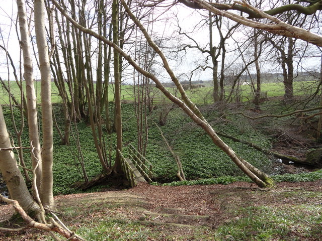
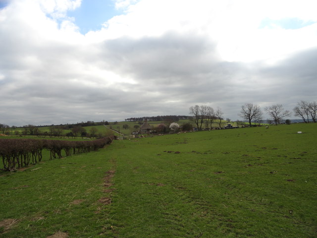
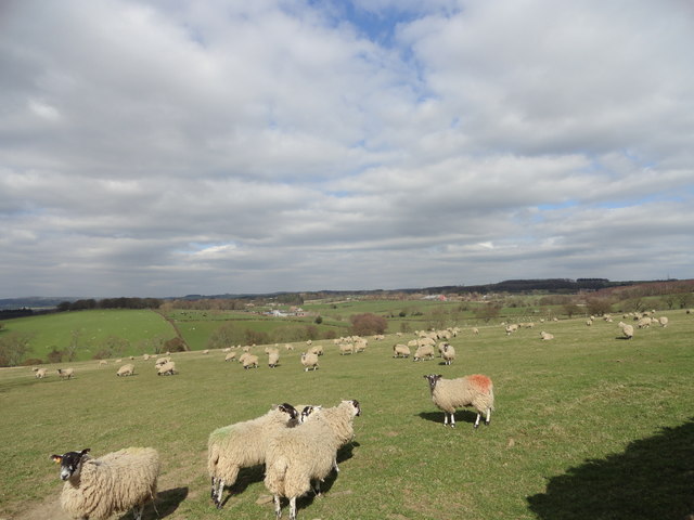
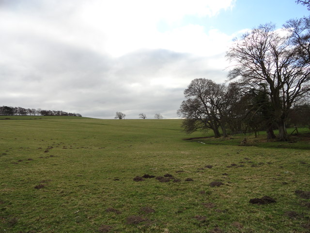
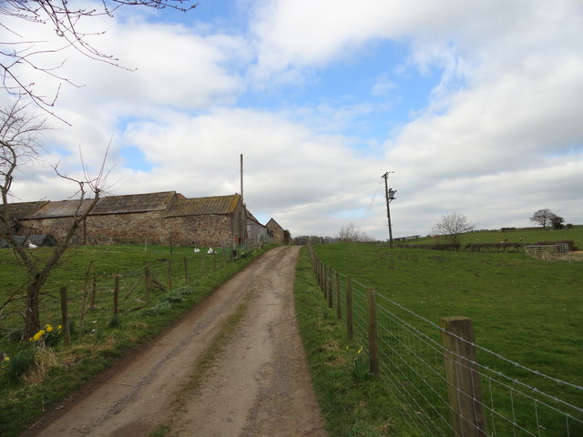
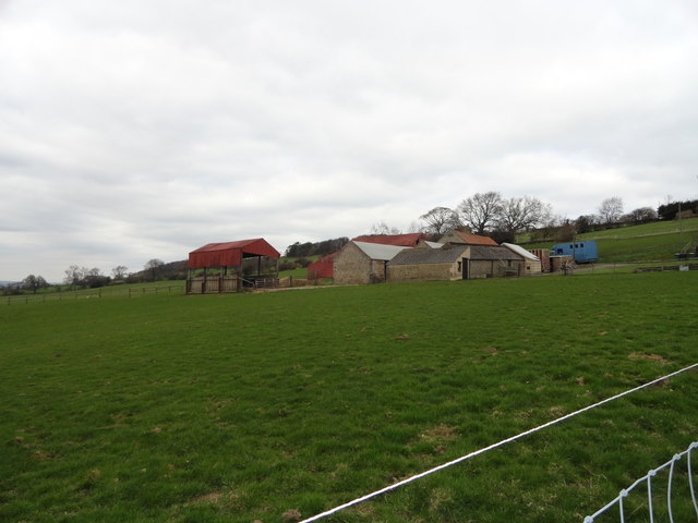
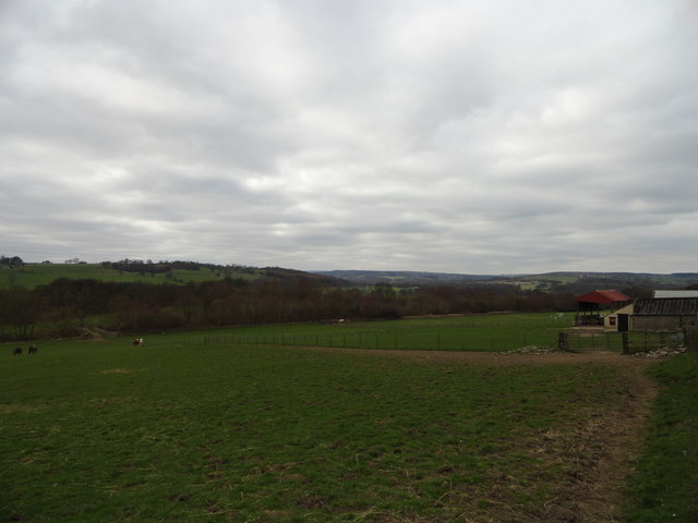
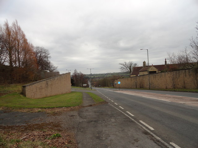
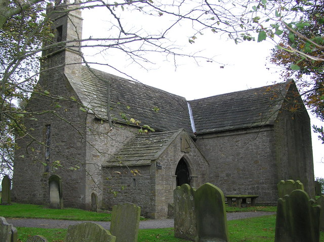
McNeil Bottoms Images

Images are sourced within 2km of 54.687609/-1.8009807 or Grid Reference NZ1232. Thanks to Geograph Open Source API. All images are credited.

Access road for Carrwood Hill Farm The access road for Carrwood Hill Farm leaves a minor road, Howlea Lane, above the valley of Harthope Beck.
Access road for Carrwood Hill Farm
The access road for Carrwood Hill Farm leaves a minor road, Howlea Lane, above the valley of Harthope Beck.
Pasture next to the A68, looking towards McNeil Farm
McNeil Bottoms in 1984 With the stunning countryside beyond.
McNeil Bottoms in 1984
With the stunning countryside beyond.
Ploughing, Weardale Ploughing in stubble before Sandy Bank Wood.
Ploughing, Weardale
Ploughing in stubble before Sandy Bank Wood.
Sandy Bank Wood A farm track runs towards Sandy Bank Wood. A tractor was ploughing nearby.
Sandy Bank Wood
A farm track runs towards Sandy Bank Wood. A tractor was ploughing nearby.
Field and Gibbet Hills from Douglas Lane The farm at Gibbet Hills lies south-west of the small County Durham Town of Crook. The view is northwards from a minor road known as Douglas Lane and very close to the position of a now lost trig point known to the OS as 'Diggins'; it had flush bracket number S4212.
Field and Gibbet Hills from Douglas Lane
The farm at Gibbet Hills lies south-west of the small County Durham Town of Crook. The view is northwards from a minor road known as Douglas Lane and very close to the position of a now lost trig point known to the OS as 'Diggins'; it had flush bracket number S4212.
Lane House There appears to be two dwellings at the location of Lane House. The River Wear flows unseen beyond the houses and the distant buildings are in the village of Witton-le-Wear.
Lane House
There appears to be two dwellings at the location of Lane House. The River Wear flows unseen beyond the houses and the distant buildings are in the village of Witton-le-Wear.
Mc Neil and Mc Neil Bottoms Mc Neil is the farm in the image. Mc Neil Bottoms is the area of water which is close to the River Wear; the river can just be seen. The pools were created by the flooding of old gravel pits and are part of a conservation project overseen by Durham Bird Club.
Mc Neil and Mc Neil Bottoms
Mc Neil is the farm in the image. Mc Neil Bottoms is the area of water which is close to the River Wear; the river can just be seen. The pools were created by the flooding of old gravel pits and are part of a conservation project overseen by Durham Bird Club.
Harperley Hall Large former manor house built in the late 18th century.
The composer John Garth (1721-1810) was born here. See <span class="nowrap"><a title="https://en.wikipedia.org/wiki/John_Garth_(composer)" rel="nofollow ugc noopener" href="https://en.wikipedia.org/wiki/John_Garth_(composer)">Link</a><img style="margin-left:2px;" alt="External link" title="External link - shift click to open in new window" src="https://s1.geograph.org.uk/img/external.png" width="10" height="10"/></span>
Harperley Hall
Large former manor house built in the late 18th century. The composer John Garth (1721-1810) was born here. See LinkExternal link
Stile on the Weardale Way Located in the field in front of Harperley Hall. The way is a bit difficult to follow along this section, not being clearly defined. There are extensive views to the East down the Wear valley.
Stile on the Weardale Way
Located in the field in front of Harperley Hall. The way is a bit difficult to follow along this section, not being clearly defined. There are extensive views to the East down the Wear valley.
Path through the wood The Weardale Way here crosses a little burn by a footbridge.
Path through the wood
The Weardale Way here crosses a little burn by a footbridge.
Looking towards Wadley Looking SE along the Weardale Way to Wadley farm.
Looking towards Wadley
Looking SE along the Weardale Way to Wadley farm.
View North from Sandy Bank Looking from the top of the escarpment on the Weardale Way towards the village of Fir Tree.
View North from Sandy Bank
Looking from the top of the escarpment on the Weardale Way towards the village of Fir Tree.
Wadley Beck The Weardale Way runs alongside this little stream South of Wadley farm.
Wadley Beck
The Weardale Way runs alongside this little stream South of Wadley farm.
Wadley farm Looking up the track to the farm buildings.
Wadley farm
Looking up the track to the farm buildings.
High Garth Farm Viewed from the path leading up from the railway.
High Garth Farm
Viewed from the path leading up from the railway.
View along Weardale View NW along the dale from the path beside High Garth Farm at Witton-le-Wear.
View along Weardale
View NW along the dale from the path beside High Garth Farm at Witton-le-Wear.
Looking South down the A68 View from the turnoff for Witton-le-Wear.
Looking South down the A68
View from the turnoff for Witton-le-Wear.
Show me another place!

McNeil Bottoms is located at Grid Ref: NZ1232 (Lat: 54.687609, Lng: -1.8009807)

Unitary Authority: County Durham

Police Authority: Durham

What 3 Words

///applies.broom.rationing. Near Hamsterley, Co. Durham

Nearby Locations

McNeil Bottoms Birch Wood

Related Wikis

Bedburn Beck

Bedburn Beck is a 16.8 kilometres (10.4 mi) long, upper tributary of the River Wear in County Durham, England. The beck and its tributaries, including...

Hamsterley, Bishop Auckland

Hamsterley is a village in County Durham, England. It is situated a few miles west of Bishop Auckland. The village lies on a rise above the upper reaches...

Fir Tree, County Durham

Fir Tree is a village in County Durham, in England. It is west of Crook, near the River Wear. Fir Tree has a petrol station and two pubs: The Duke of York...

Witton-le-Wear

Witton-le-Wear is a village in County Durham, North East England. It is situated on the north bank of the River Wear, 6 km (3.7 mi) to the north-west of...

Nearby Amenities

Located within 500m of 54.687609,-1.8009807
Railway: level_crossing
Lat/Long: 54.690647/-1.8018466
Power: pole
Lat/Long: 54.6877087/-1.7937514
Power: pole
Lat/Long: 54.6868955/-1.7934188
Power: pole
Lat/Long: 54.686004/-1.79454
Power: pole
Lat/Long: 54.6848907/-1.7952575
Power: pole
Lat/Long: 54.6857373/-1.7947063
The data included in this document is from www.openstreetmap.org. The data is made available under ODbL.

Have you been to McNeil Bottoms?

Leave your review of McNeil Bottoms below (or comments, questions and feedback).