Grindsbrook Booth
Settlement in Derbyshire High Peak
England
Grindsbrook Booth
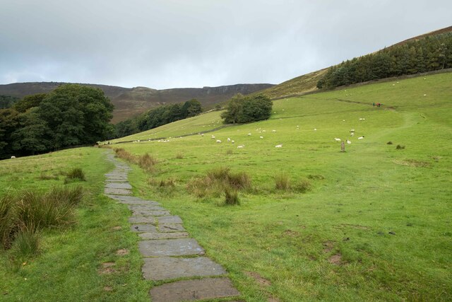
Grindsbrook Booth is a charming village located in the Peak District National Park in Derbyshire, England. Situated within the Hope Valley, it is surrounded by breathtaking natural beauty and is a popular destination for outdoor enthusiasts.
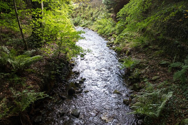
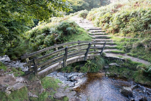
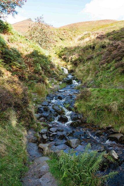
The village is known for its traditional stone-built cottages, which add to its quaint and picturesque appeal. With a population of around 100 residents, Grindsbrook Booth maintains a close-knit community atmosphere. The nearby Grindsbrook, a stream that flows through the village, adds to its tranquility and provides a lovely backdrop for residents and visitors alike.
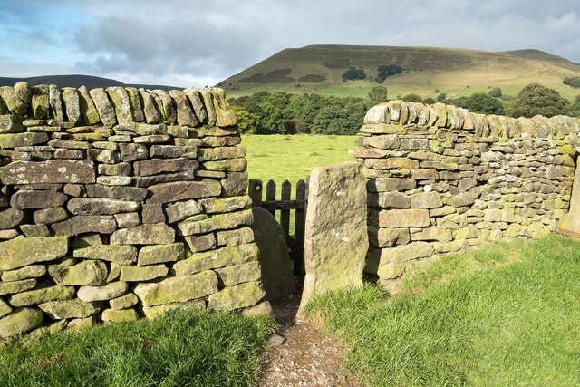
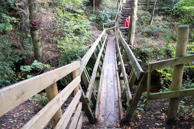
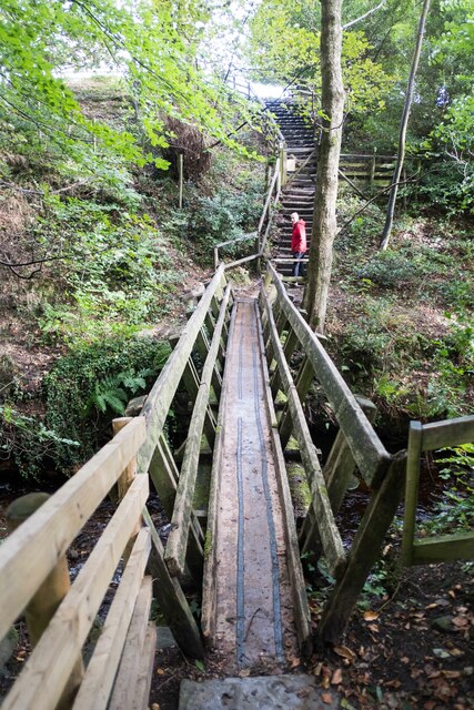
The village benefits from its strategic location, offering easy access to several popular hiking trails, including the Pennine Way and Kinder Scout. These routes attract numerous walkers and hikers throughout the year, drawn to the stunning landscapes and panoramic views that surround the village.
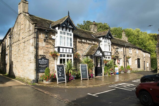
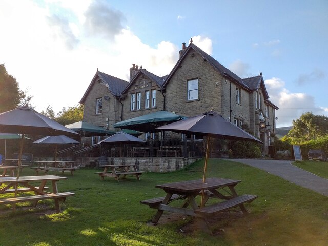
In terms of amenities, Grindsbrook Booth offers a limited range of facilities. The village is home to a small local pub, providing a cozy setting for residents and visitors to relax and enjoy a refreshing drink or a hearty meal. Additionally, there are a few bed and breakfast accommodations available for those looking to extend their stay and explore the area further.
Overall, Grindsbrook Booth is a hidden gem within the Peak District National Park, offering a peaceful retreat in a stunning natural setting. Its charming architecture, welcoming community, and proximity to outdoor activities make it a sought-after destination for nature lovers and those seeking tranquility in the heart of the English countryside.
If you have any feedback on the listing, please let us know in the comments section below.
Grindsbrook Booth Images
Images are sourced within 2km of 53.370985/-1.819459 or Grid Reference SK1286. Thanks to Geograph Open Source API. All images are credited.


Grindsbrook Booth is located at Grid Ref: SK1286 (Lat: 53.370985, Lng: -1.819459)
Administrative County: Derbyshire
District: High Peak
Police Authority: Derbyshire
What 3 Words
///inert.fever.sketching. Near High Peak, Derbyshire
Nearby Locations
Related Wikis

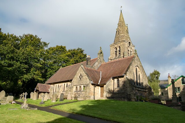
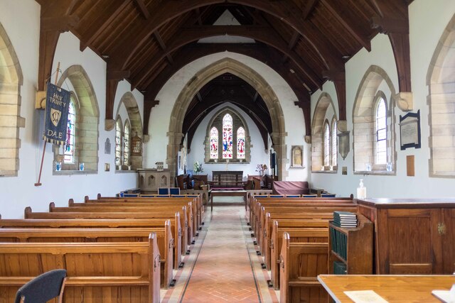
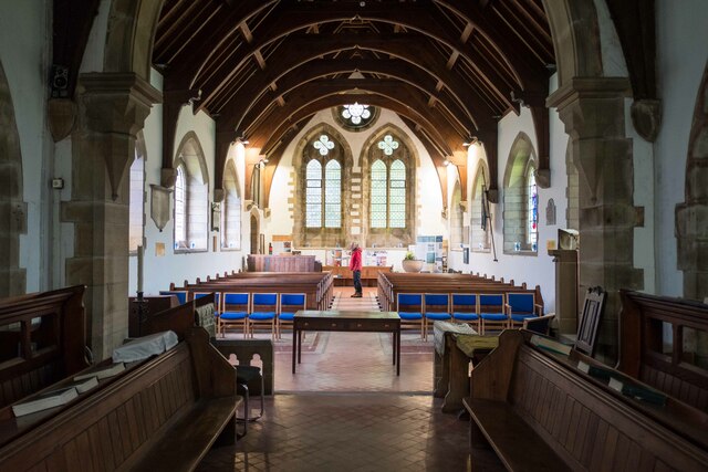
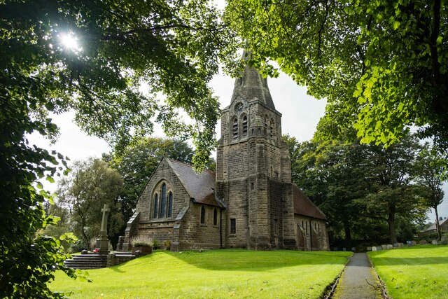
The Church of the Holy and Undivided Trinity, Edale
The Church of the Holy and Undivided Trinity, Edale, is a Grade II listed parish church in the Church of England in Edale, Derbyshire. == History == The...

Edale
Edale is a village and civil parish in the Peak District, Derbyshire, England, whose population was 353 at the 2011 Census. Edale, with an area of 7,030...
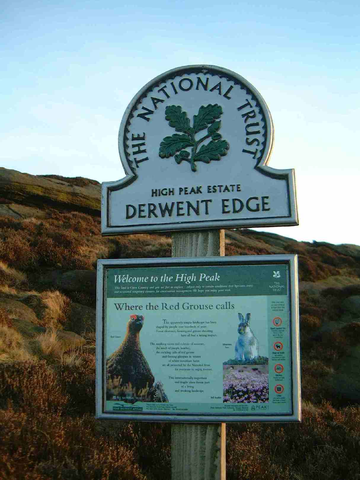
High Peak Estate
The High Peak Estate is an area of Pennine moorland in the ownership of the National Trust in the Dark Peak area of Derbyshire, England. The National...
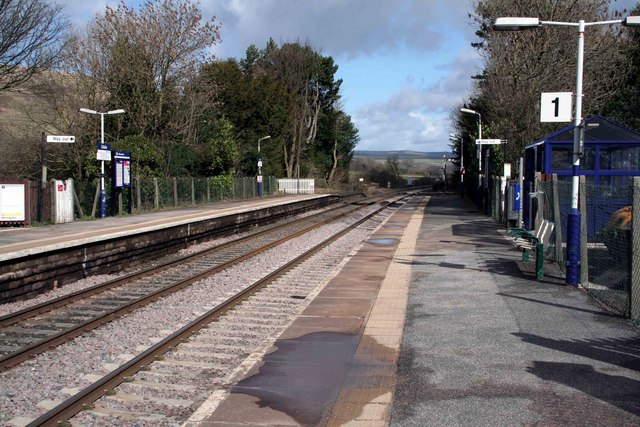
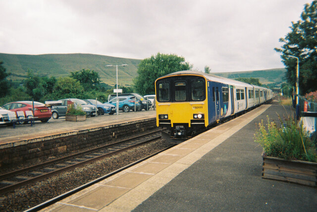
Edale railway station
Edale railway station serves the rural village of Edale in the Derbyshire Peak District, in England. It is located 20 miles (32 km) west of Sheffield and...
Related Videos

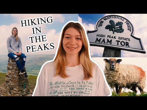
Mam Tor Walk | The Peak District National Park | First Time Hiking
If it's your first time hiking up Mam Tor located in The Peak District National Park, here are a few tips from my personal experience.

Mam Tor a popular walking destination #mamtor #peakdistrict #derbyshire #hiking #outdoorswithfamily
Mam Tor a popular walking destination #mamtor #peakdistrict #derbyshire #uk #outdoorswithfamily #hikingadventures #hikinguk ...
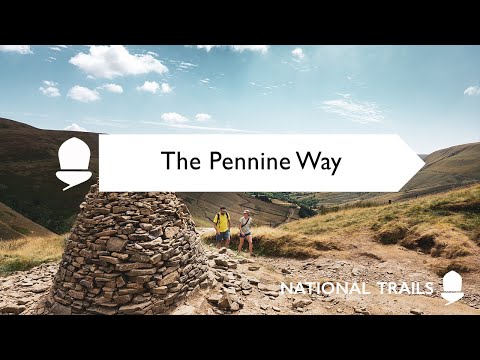
Discover England's Great Walking Trails - Pennine Way
The Pennine Way is England's original long distance walking trail and the second longest after the Southwest Coast Path.
Nearby Amenities
Located within 500m of 53.370985,-1.819459Have you been to Grindsbrook Booth?
Leave your review of Grindsbrook Booth below (or comments, questions and feedback).