The Nab
Hill, Mountain in Derbyshire High Peak
England
The Nab
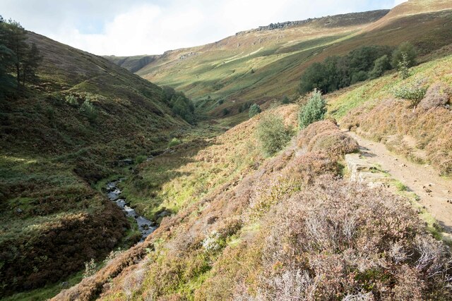
The Nab is a prominent hill located in Derbyshire, England. Standing at an elevation of approximately 450 meters above sea level, it is part of the Peak District National Park and offers stunning panoramic views of the surrounding countryside.
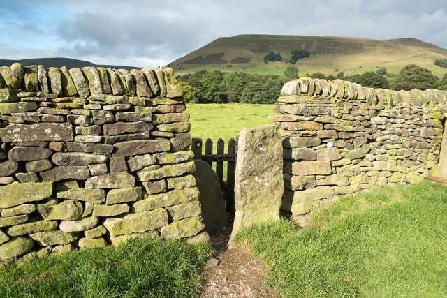
Located near the village of Matlock, The Nab is a popular destination for hikers and nature enthusiasts. Its distinctive shape and rocky outcrops make it a notable landmark in the area. The hill is composed of gritstone, which gives it a rugged and unique appearance.
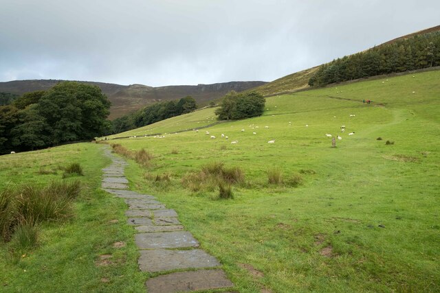
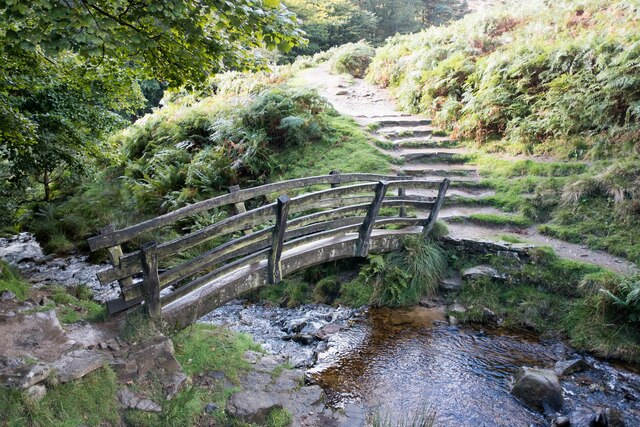
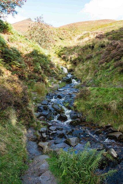
The Nab is accessible via well-marked footpaths that wind their way up the hillside. The ascent can be challenging in some sections due to the steep gradients, but the effort is rewarded with breathtaking views once reaching the summit. On a clear day, visitors can see for miles, taking in the beauty of the Derbyshire Dales and beyond.
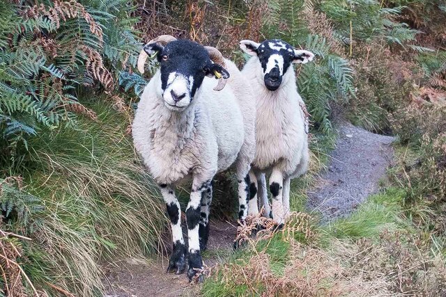
The hill is also home to a variety of wildlife, including birds of prey, such as kestrels and peregrine falcons, as well as rare plant species. Nature enthusiasts can often spot these creatures as they explore the area.
In addition to its natural beauty, The Nab has historical significance. The hill was once used as a quarry for gritstone, which was utilized in the construction of buildings and walls in the local area.
Overall, The Nab in Derbyshire is a must-visit destination for those seeking stunning views, challenging hikes, and a chance to immerse themselves in the natural beauty of the Peak District National Park.
If you have any feedback on the listing, please let us know in the comments section below.
The Nab Images
Images are sourced within 2km of 53.378482/-1.8128102 or Grid Reference SK1286. Thanks to Geograph Open Source API. All images are credited.

The Nab is located at Grid Ref: SK1286 (Lat: 53.378482, Lng: -1.8128102)
Administrative County: Derbyshire
District: High Peak
Police Authority: Derbyshire
What 3 Words
///uniforms.marsh.digestion. Near High Peak, Derbyshire
Nearby Locations
Related Wikis

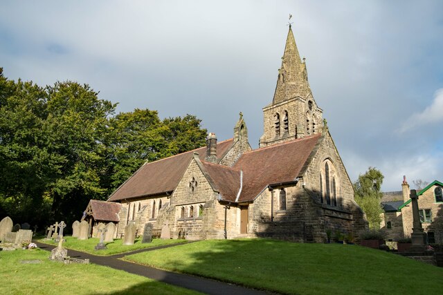
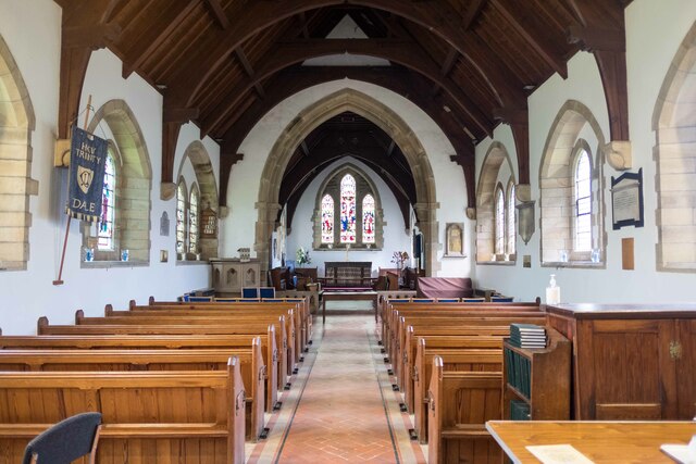
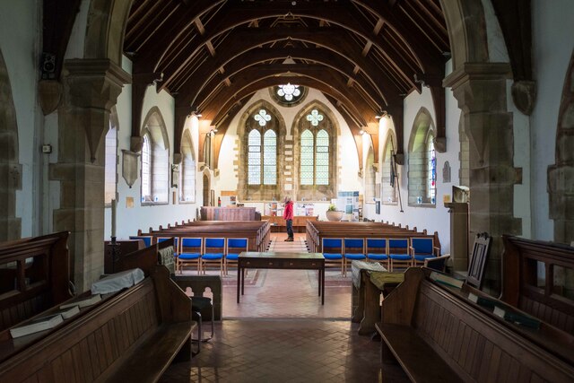
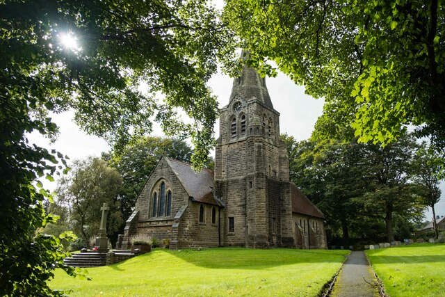
The Church of the Holy and Undivided Trinity, Edale
The Church of the Holy and Undivided Trinity, Edale, is a Grade II listed parish church in the Church of England in Edale, Derbyshire. == History == The...

Edale
Edale is a village and civil parish in the Peak District, Derbyshire, England, whose population was 353 at the 2011 Census. Edale, with an area of 7,030...
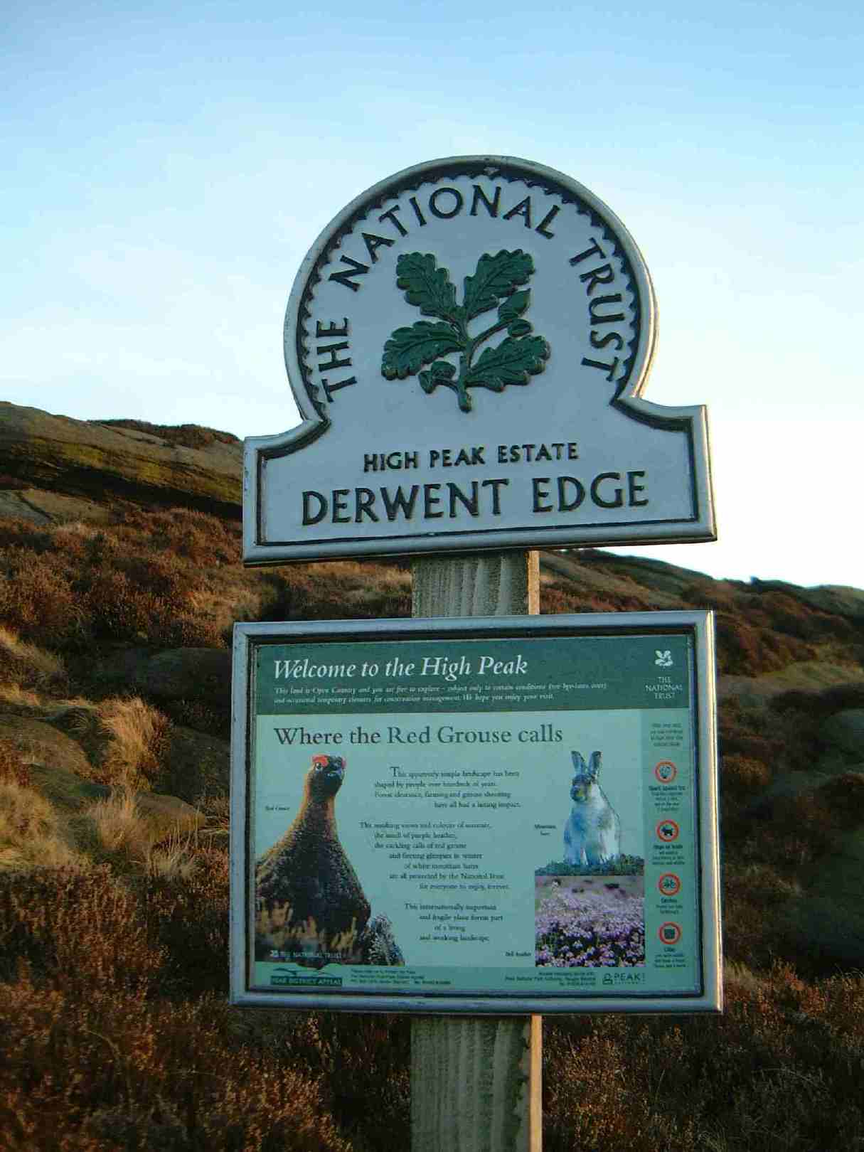
High Peak Estate
The High Peak Estate is an area of Pennine moorland in the ownership of the National Trust in the Dark Peak area of Derbyshire, England. The National...
Grindslow Knoll
Grindslow Knoll is a hill in the Dark Peak area of the Peak District National Park in Derbyshire, England. It is joined to Kinder Scout by a high col though...
Nearby Amenities
Located within 500m of 53.378482,-1.8128102Have you been to The Nab?
Leave your review of The Nab below (or comments, questions and feedback).