Heardman's Plantation
Wood, Forest in Derbyshire High Peak
England
Heardman's Plantation
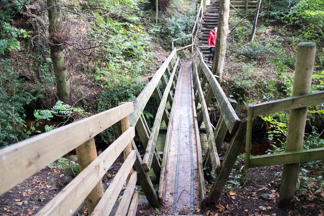
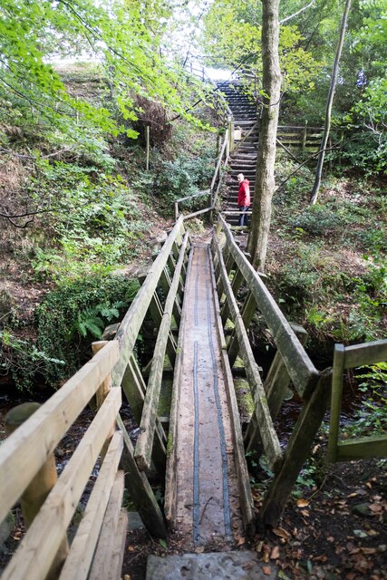
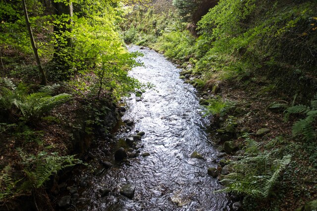
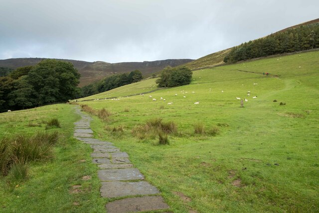
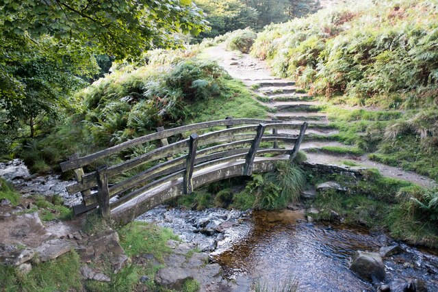
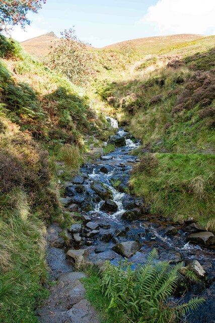
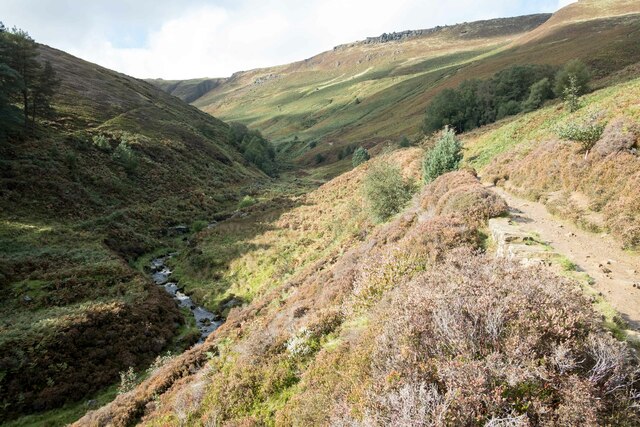
Heardman's Plantation is a picturesque woodland located in Derbyshire, England. Situated in the heart of the county, this enchanting forest is known for its remarkable natural beauty and diverse flora and fauna. Spanning over a vast area, the plantation is a popular destination among nature enthusiasts, hikers, and photographers.
The woodland is characterized by its dense canopy of towering trees, primarily consisting of oak, beech, and birch. These majestic trees provide a tranquil and shaded environment, making it an ideal spot for a peaceful stroll or a picnic amidst nature's serenity. The forest floor is adorned with a rich carpet of wildflowers, ferns, and mosses, adding to the charm of the surroundings.
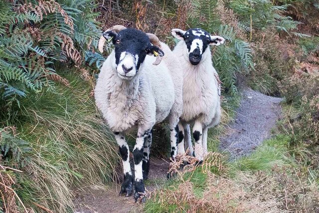
Heardman's Plantation is home to a wide array of wildlife, making it a haven for animal lovers and birdwatchers. Visitors may spot various species such as deer, foxes, badgers, and rabbits roaming freely in their natural habitat. The woodland's tranquil atmosphere also attracts an abundance of birds, including woodpeckers, owls, and numerous songbirds.
In addition to its natural beauty, Heardman's Plantation offers several well-maintained walking trails that cater to different skill levels. These trails provide an opportunity for visitors to explore the forest at their own pace while immersing themselves in the beauty of the surroundings. The plantation is also equipped with picnic areas and benches, allowing visitors to relax and enjoy the peaceful ambience.
Overall, Heardman's Plantation in Derbyshire is a stunning woodland that offers a tranquil escape from the hustle and bustle of daily life. Its natural beauty, diverse wildlife, and well-maintained trails make it a must-visit destination for nature enthusiasts and those seeking a peaceful retreat.
If you have any feedback on the listing, please let us know in the comments section below.
Heardman's Plantation Images
Images are sourced within 2km of 53.375107/-1.8156508 or Grid Reference SK1286. Thanks to Geograph Open Source API. All images are credited.

Heardman's Plantation is located at Grid Ref: SK1286 (Lat: 53.375107, Lng: -1.8156508)
Administrative County: Derbyshire
District: High Peak
Police Authority: Derbyshire
What 3 Words
///wrist.frantic.lunges. Near High Peak, Derbyshire
Nearby Locations
Related Wikis

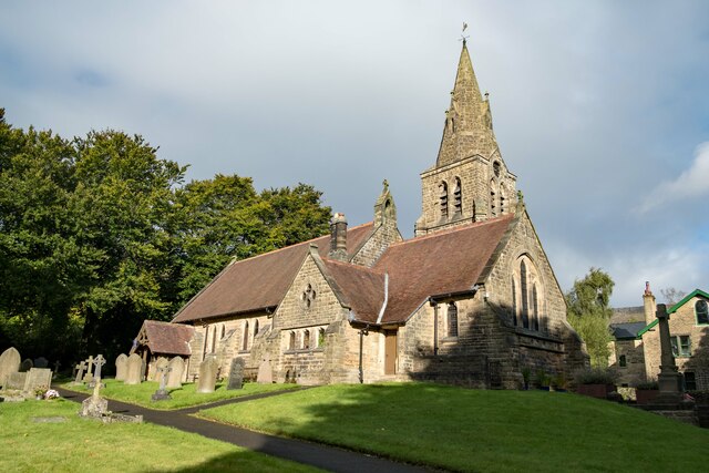
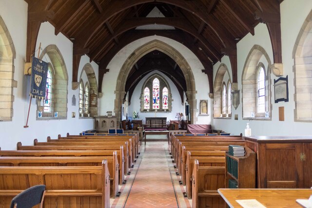
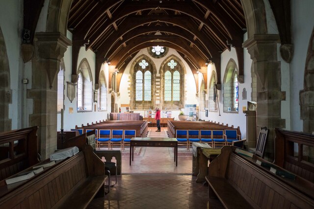
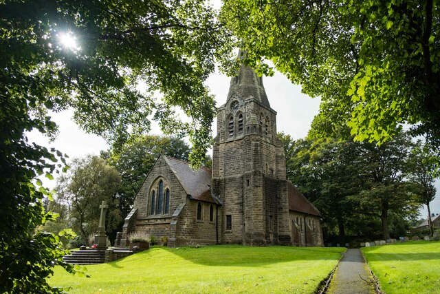
The Church of the Holy and Undivided Trinity, Edale
The Church of the Holy and Undivided Trinity, Edale, is a Grade II listed parish church in the Church of England in Edale, Derbyshire. == History == The...

Edale
Edale is a village and civil parish in the Peak District, Derbyshire, England, whose population was 353 at the 2011 Census. Edale, with an area of 7,030...
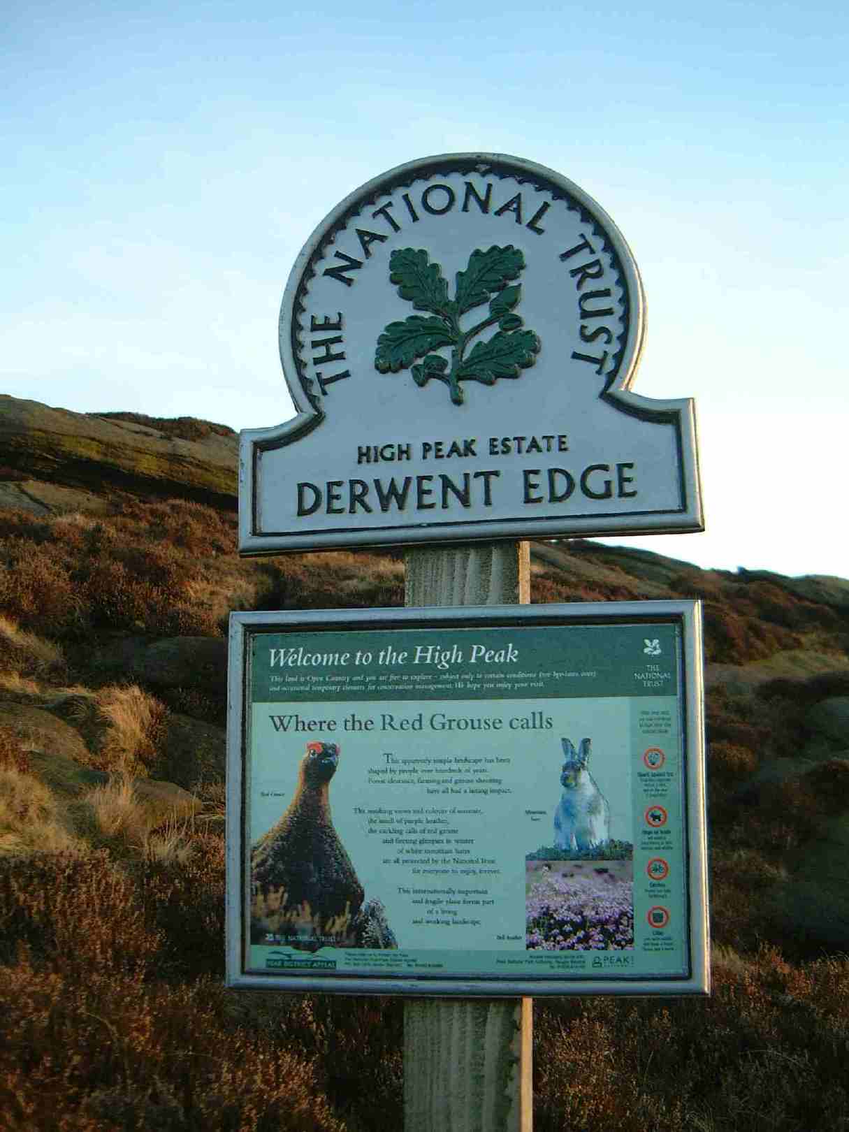
High Peak Estate
The High Peak Estate is an area of Pennine moorland in the ownership of the National Trust in the Dark Peak area of Derbyshire, England. The National...
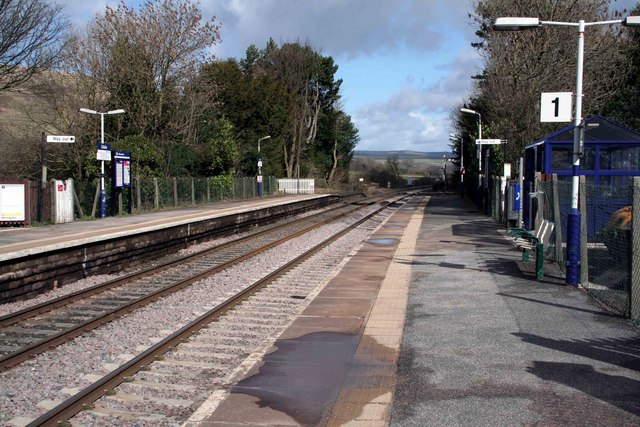
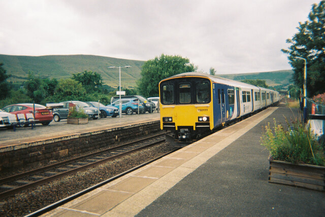
Edale railway station
Edale railway station serves the rural village of Edale in the Derbyshire Peak District, in England. It is located 20 miles (32 km) west of Sheffield and...
Nearby Amenities
Located within 500m of 53.375107,-1.8156508Have you been to Heardman's Plantation?
Leave your review of Heardman's Plantation below (or comments, questions and feedback).