Ravens Clough
Valley in Derbyshire High Peak
England
Ravens Clough
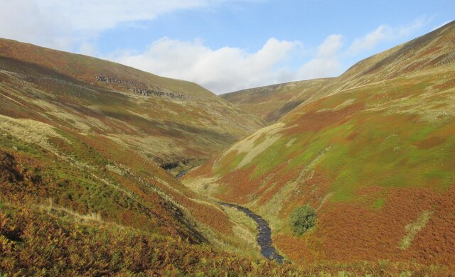
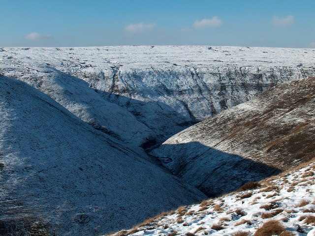
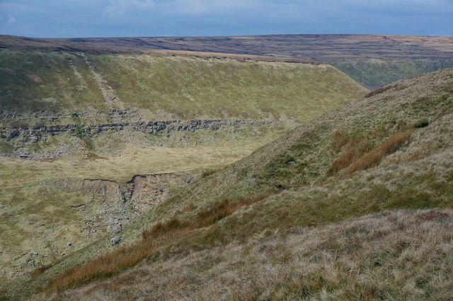
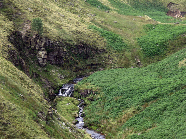
Ravens Clough, located in Derbyshire, England, is a picturesque and serene valley nestled within the Peak District National Park. With its breathtaking beauty and rich biodiversity, it offers an enchanting escape from the hustle and bustle of city life.
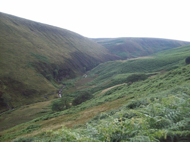
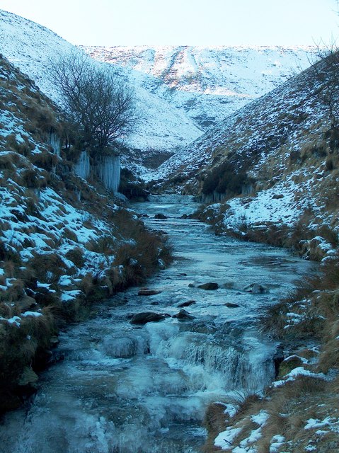
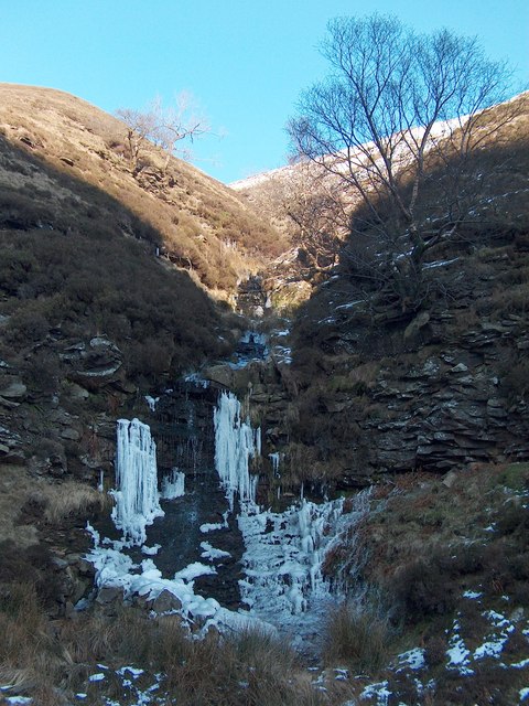
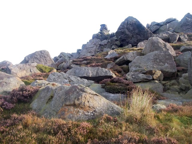
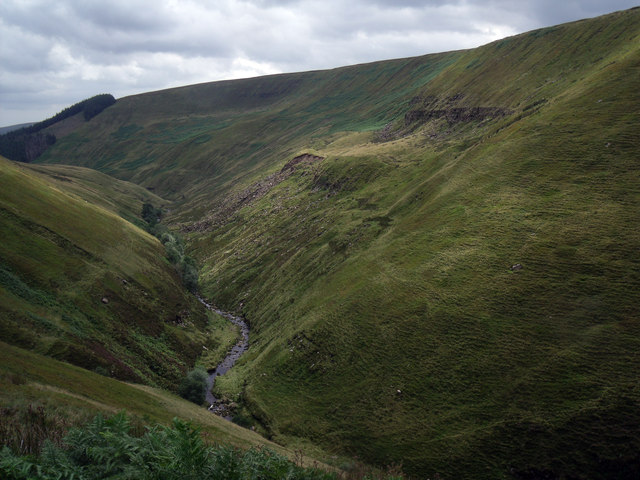
This hidden gem is characterized by its steep-sided slopes, verdant woodlands, and meandering streams that flow through the valley floor. The area is renowned for its diverse flora and fauna, making it a haven for nature enthusiasts and wildlife lovers. Visitors can expect to encounter a wide range of bird species, including ravens, after which the valley is named, as well as buzzards, peregrine falcons, and various woodland birds.
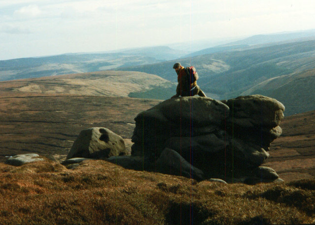
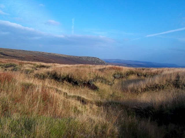
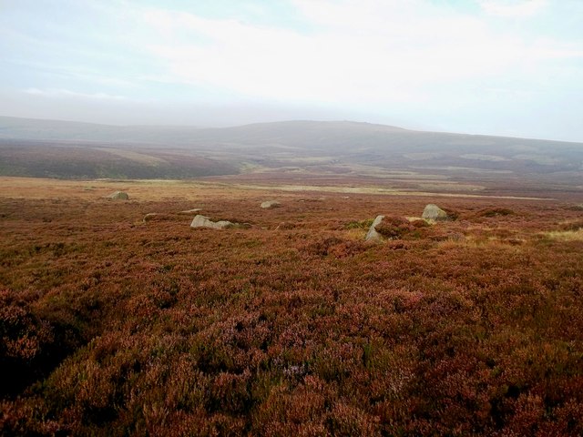
The valley is crisscrossed by a network of walking trails, providing ample opportunities for hikers and ramblers to explore its natural wonders. The trails offer stunning views of the surrounding countryside, with panoramic vistas of rolling hills, ancient woodlands, and charming villages.
Ravens Clough also boasts a rich cultural heritage. The valley is known for its numerous archaeological sites, including prehistoric burial mounds and remnants of ancient settlements, which offer a glimpse into the area's past. Additionally, the valley is home to a number of historic buildings, such as the picturesque Ravens Clough House, which dates back to the 17th century.
Overall, Ravens Clough, Derbyshire, is a captivating destination that seamlessly blends natural beauty, biodiversity, and cultural heritage. Whether visitors are seeking a tranquil retreat, an outdoor adventure, or a glimpse into the past, this idyllic valley has something to offer for everyone.
If you have any feedback on the listing, please let us know in the comments section below.
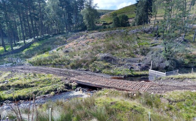
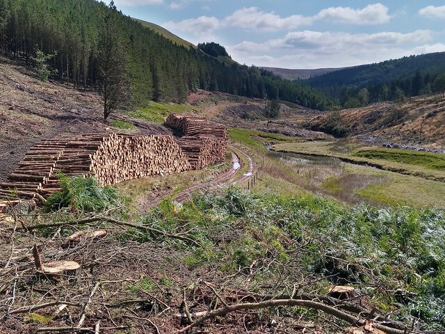
Ravens Clough Images
Images are sourced within 2km of 53.445403/-1.8075482 or Grid Reference SK1294. Thanks to Geograph Open Source API. All images are credited.


Ravens Clough is located at Grid Ref: SK1294 (Lat: 53.445403, Lng: -1.8075482)
Administrative County: Derbyshire
District: High Peak
Police Authority: Derbyshire
What 3 Words
///owners.resting.flick. Near High Peak, Derbyshire
Nearby Locations
Related Wikis

Alport Castles
The Alport Castles are a landslip feature in the Peak District National Park in Derbyshire. At over half a mile long, it is thought to be the largest landslide...

Bleaklow Bomber
The Bleaklow Bomber was a US Air Force (USAF) Boeing RB-29A Superfortress that crashed near Higher Shelf Stones on Bleaklow in the Peak District in 1948...

Bleaklow
Bleaklow is a high, largely peat-covered, gritstone moorland in the Derbyshire High Peak near the town of Glossop. It is north of Kinder Scout, across...

Howden Reservoir
The Howden Reservoir is a Y-shaped reservoir, the uppermost of the three in the Upper Derwent Valley, England. The western half of the reservoir lies in...

Snake Pass
Snake Pass is a hill pass in the Derbyshire section of the Peak District, crossing the Pennines between Glossop and the Ladybower Reservoir at Ashopton...

Featherbed Top
Featherbed Top is an open, flat-topped hill, 544 metres (1,785 ft) high, in the Peak District in the county of Derbyshire in England. == Description... ==

River Westend
The River Westend flows through the Dark Peak of the Derbyshire Peak District in England. Its source is at Bleaklow Stones on Bleaklow, from where it...

River Alport
The River Alport flows for 5.6 miles (9 km) in the Dark Peak of the Peak District in Derbyshire, England. Its source is on Bleaklow, 3 miles (4.8 km)...
Have you been to Ravens Clough?
Leave your review of Ravens Clough below (or comments, questions and feedback).