Alport Moor
Hill, Mountain in Derbyshire High Peak
England
Alport Moor
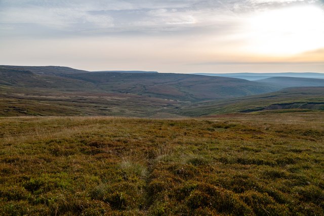
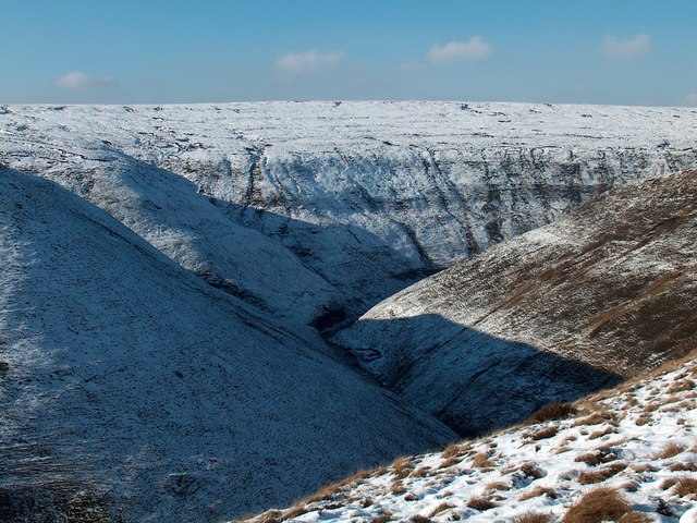
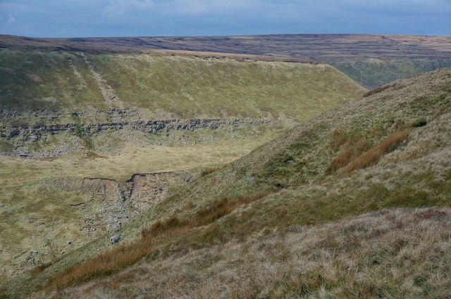
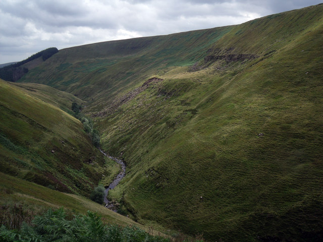
Located in the county of Derbyshire, England, Alport Moor is a picturesque hill situated within the Peak District National Park. With an elevation of approximately 510 meters, it is often referred to as Alport Moor Hill or Alport Moor Mountain. The hill is part of a larger plateau known as the Dark Peak, characterized by its rugged and wild landscape.
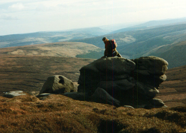
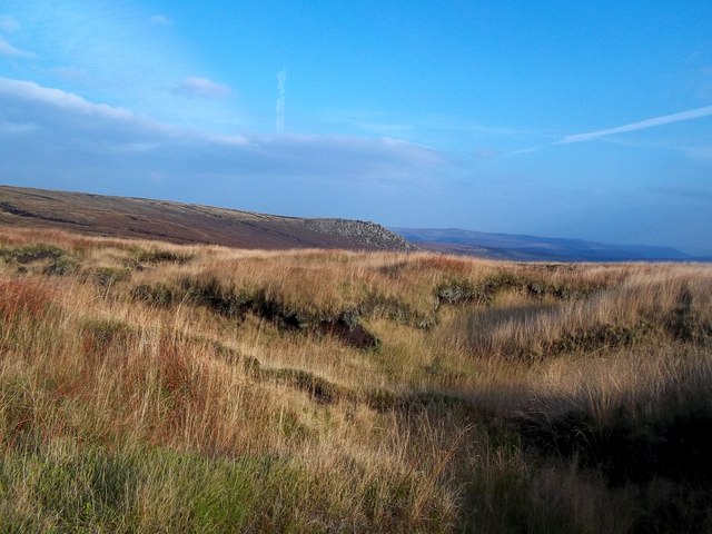
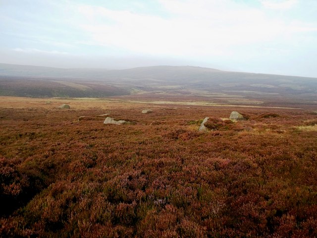
Alport Moor is renowned for its stunning panoramic views, offering visitors a breathtaking sight of the surrounding countryside. The hill is covered in a patchwork of heather moorland, which creates a vibrant purple hue during the summer months and attracts an array of wildlife. Rare bird species such as merlins and golden plovers can be observed, making it a popular destination for birdwatchers.
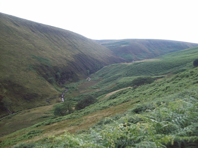
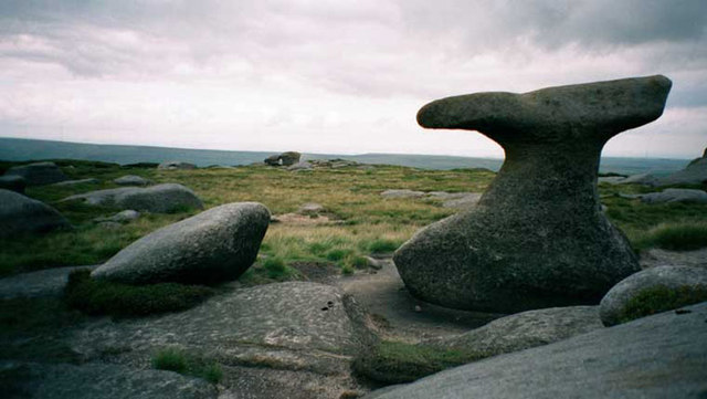
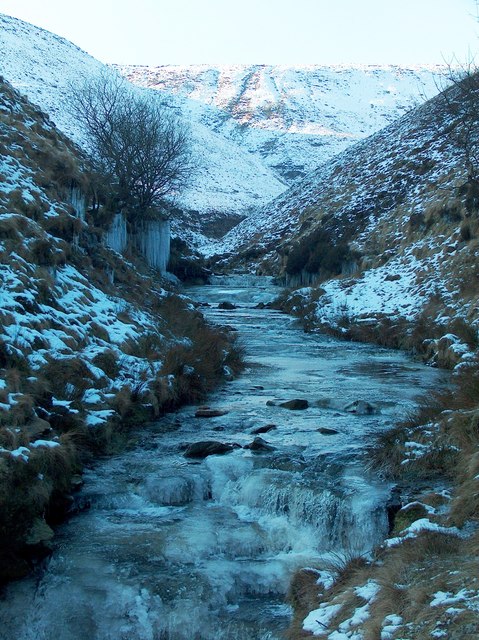
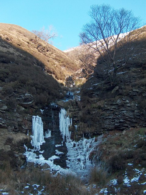
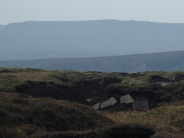
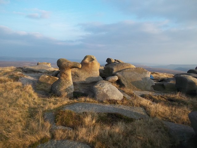
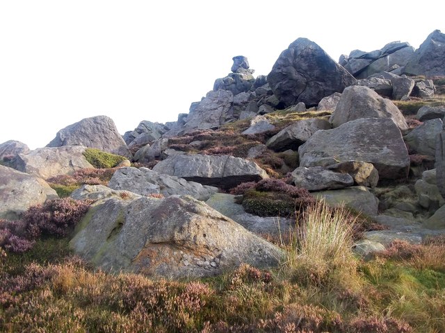
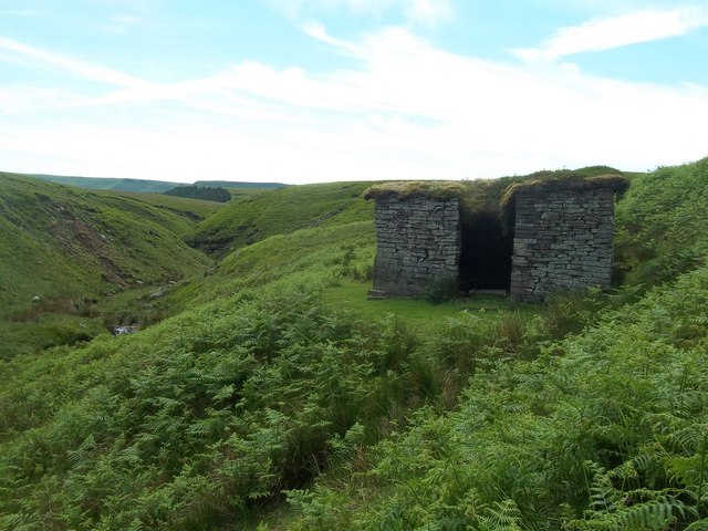
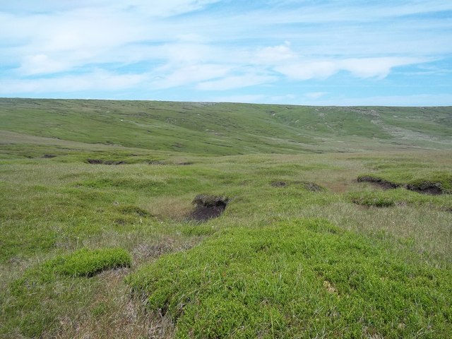
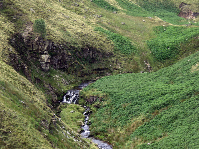
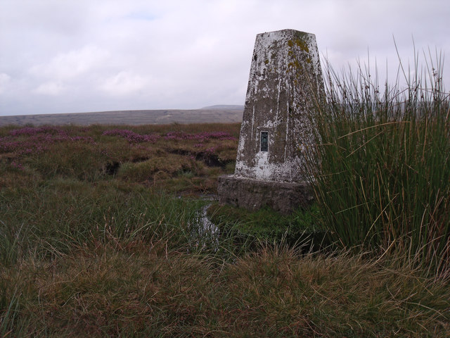
The terrain of Alport Moor is generally rough and uneven, with rocky outcrops and peat bogs scattered throughout. Walking trails and footpaths traverse the hill, providing opportunities for hikers and nature enthusiasts to explore the area. The nearby Alport Castles, a striking formation of gritstone cliffs, adds to the dramatic beauty of the landscape.
Alport Moor is easily accessible from the nearby village of Alport, and the surrounding area offers ample parking and facilities for visitors. The hill is a popular destination for outdoor activities such as hiking, photography, and wildlife spotting. Its tranquil atmosphere and stunning vistas make it a must-visit location for those seeking to immerse themselves in the natural beauty of Derbyshire's Peak District.
If you have any feedback on the listing, please let us know in the comments section below.
Alport Moor Images
Images are sourced within 2km of 53.447769/-1.8207572 or Grid Reference SK1294. Thanks to Geograph Open Source API. All images are credited.
Alport Moor is located at Grid Ref: SK1294 (Lat: 53.447769, Lng: -1.8207572)
Administrative County: Derbyshire
District: High Peak
Police Authority: Derbyshire
What 3 Words
///whisker.tilting.tube. Near Glossop, Derbyshire
Nearby Locations
Related Wikis

Bleaklow Bomber
The Bleaklow Bomber was a US Air Force (USAF) Boeing RB-29A Superfortress that crashed near Higher Shelf Stones on Bleaklow in the Peak District in 1948...

Bleaklow
Bleaklow is a high, largely peat-covered, gritstone moorland in the Derbyshire High Peak near the town of Glossop. It is north of Kinder Scout, across...

Snake Pass
Snake Pass is a hill pass in the Derbyshire section of the Peak District, crossing the Pennines between Glossop and the Ladybower Reservoir at Ashopton...

Alport Castles
The Alport Castles are a landslip feature in the Peak District National Park in Derbyshire. At over half a mile long, it is thought to be the largest landslide...

Featherbed Top
Featherbed Top is an open, flat-topped hill, 544 metres (1,785 ft) high, in the Peak District in the county of Derbyshire in England. == Description... ==

Howden Reservoir
The Howden Reservoir is a Y-shaped reservoir, the uppermost of the three in the Upper Derwent Valley, England. The western half of the reservoir lies in...
Woodhead railway station
Woodhead railway station was a railway station that served the hamlet of Woodhead on the Woodhead Line. == History == The station was opened on 8 April...

River Westend
The River Westend flows through the Dark Peak of the Derbyshire Peak District in England. Its source is at Bleaklow Stones on Bleaklow, from where it...
Nearby Amenities
Located within 500m of 53.447769,-1.8207572Have you been to Alport Moor?
Leave your review of Alport Moor below (or comments, questions and feedback).