Mouldon Hill
Hill, Mountain in Wiltshire
England
Mouldon Hill

Mouldon Hill is a prominent hill located in the county of Wiltshire, England. Situated on the outskirts of the town of Swindon, it forms part of the wider Mouldon Nature Reserve, which spans over 200 acres of land. The hill is known for its natural beauty and offers stunning views of the surrounding countryside.
Standing at an elevation of approximately 100 meters, Mouldon Hill is a popular destination for outdoor enthusiasts and nature lovers. It is covered in lush greenery, with a variety of trees, plants, and wildlife inhabiting its slopes. The hill is predominantly made up of chalk, a characteristic feature of the region's geology.
The Mouldon Nature Reserve, of which the hill is a part, is managed by the local council and offers visitors a range of recreational activities. There are several well-marked walking trails, allowing visitors to explore the diverse flora and fauna that call the reserve home. Additionally, the hill is a favored spot for picnics, family outings, and even kite flying due to the wide-open spaces it offers.
In recent years, efforts have been made to preserve and enhance the biodiversity of the Mouldon Nature Reserve, with the introduction of new habitats and conservation initiatives. This has resulted in an increase in the number of bird species found in the area, making it a popular destination for birdwatchers.
Overall, Mouldon Hill in Wiltshire is a picturesque and well-loved natural landmark, attracting visitors from near and far who come to enjoy its scenic views, peaceful ambiance, and rich biodiversity.
If you have any feedback on the listing, please let us know in the comments section below.
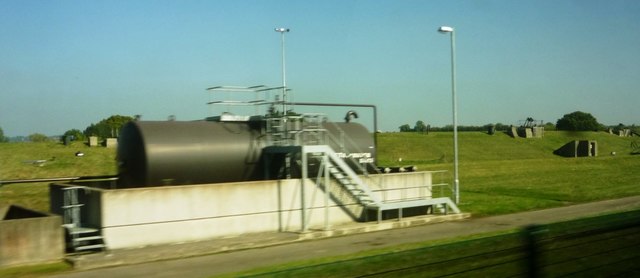
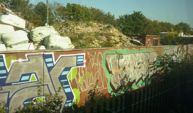
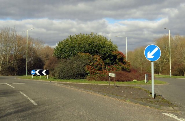
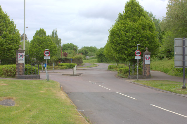
Mouldon Hill Images
Images are sourced within 2km of 51.58577/-1.8275032 or Grid Reference SU1287. Thanks to Geograph Open Source API. All images are credited.


Mouldon Hill is located at Grid Ref: SU1287 (Lat: 51.58577, Lng: -1.8275032)
Unitary Authority: Swindon
Police Authority: Wiltshire
What 3 Words
///infringe.pythons.learns. Near Lydiard Millicent, Wiltshire
Nearby Locations
Related Wikis

Moredon Halt railway station
Moredon Halt railway station was on the Midland and South Western Junction Railway in Wiltshire. The station, a few miles north west of Swindon, opened...

Mouldon Hill Country Park
Mouldon Hill Country Park is a country park to the north west of the town centre of Swindon, within the parish of Haydon Wick and close to Thamesdown Drive...
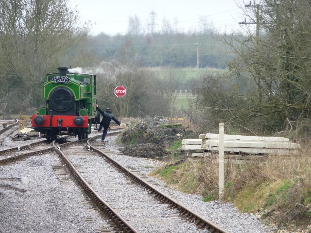
Mouldon Hill railway station
Mouldon Hill railway station is the proposed southern terminus of the Swindon and Cricklade Railway, a heritage railway line in England. The station will...
Taw Valley Halt railway station
Taw Valley Halt railway station is the current (and temporary) southern terminus of the Swindon and Cricklade Railway, a heritage railway line in Wiltshire...
Nearby Amenities
Located within 500m of 51.58577,-1.8275032Have you been to Mouldon Hill?
Leave your review of Mouldon Hill below (or comments, questions and feedback).