Harbour Hole Bottom
Valley in Yorkshire
England
Harbour Hole Bottom
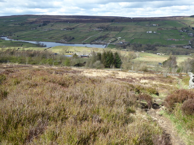
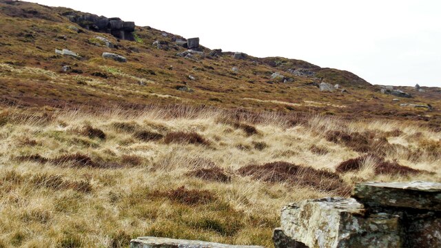
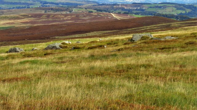
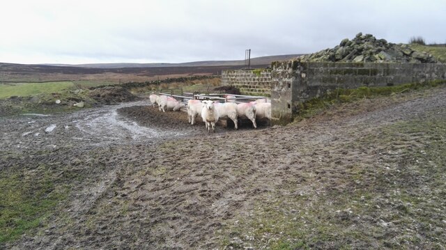
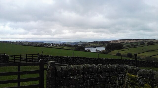
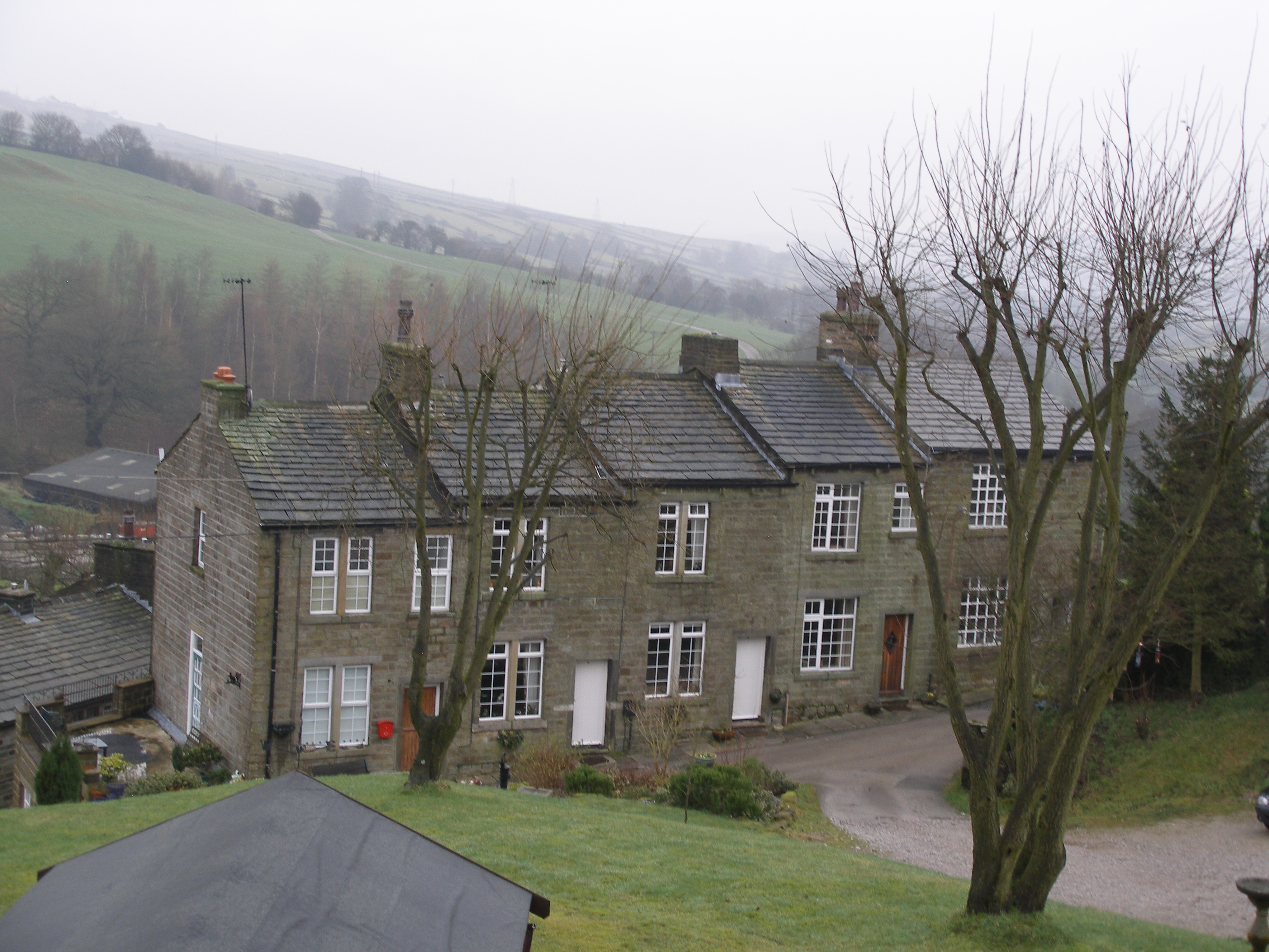
Harbour Hole Bottom is a charming valley located in Yorkshire, England. Situated in the northern part of the county, this tranquil and picturesque spot offers visitors a unique natural experience. The valley is nestled between rolling hills and is surrounded by lush greenery, creating a serene and peaceful atmosphere.
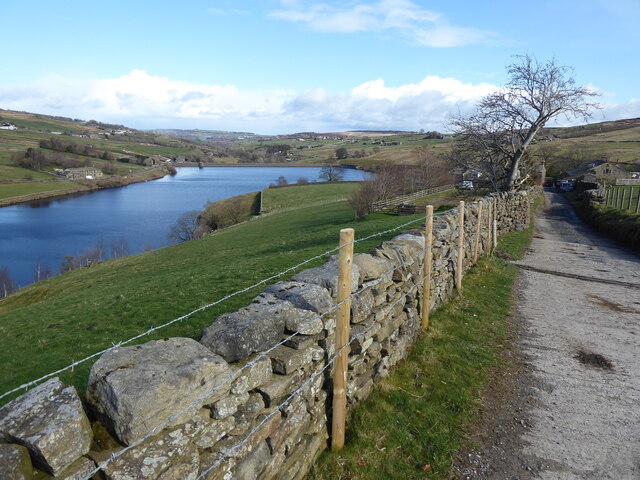
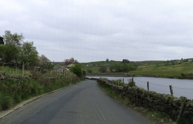
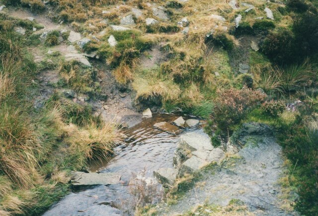
One of the defining features of Harbour Hole Bottom is its winding river that meanders through the valley. The river, known as Harbour Hole Beck, adds to the beauty of the landscape and provides a habitat for various wildlife species. Visitors can often spot ducks, herons, and even the occasional otter along the riverbanks.
The valley is also home to a diverse range of flora, with wildflowers and native plants creating a vibrant and colorful scene. Bluebells, primroses, and daffodils are just a few examples of the captivating flowers that adorn the valley during the spring season.
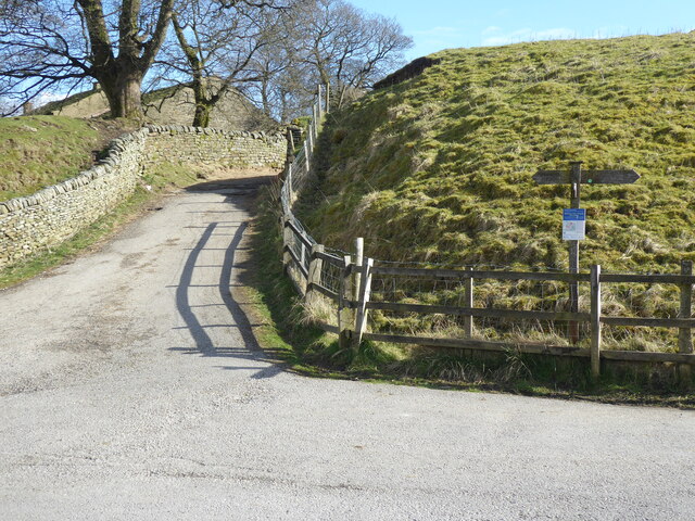
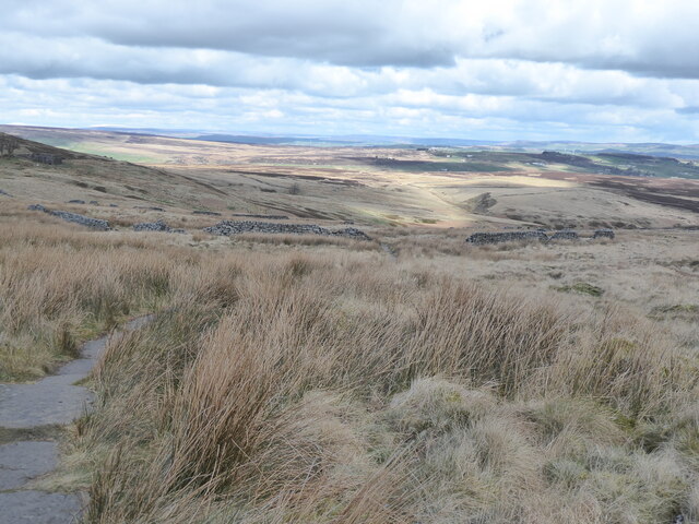
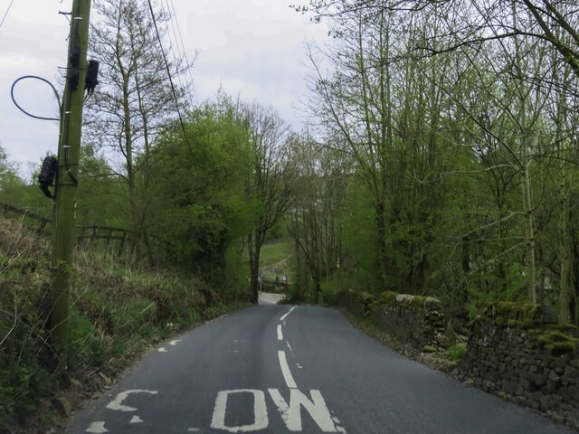
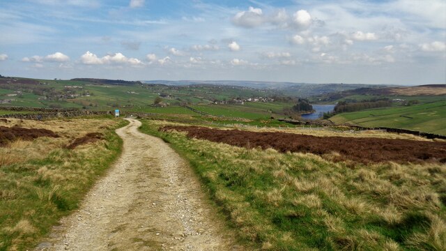
For those seeking outdoor activities, Harbour Hole Bottom offers several walking trails that allow visitors to explore the area's natural wonders. The trails wind through the valley, offering stunning views of the surrounding countryside. Along the way, walkers can enjoy the tranquility of the valley, breathe in the fresh air, and take in the sights and sounds of nature.
In summary, Harbour Hole Bottom is a captivating valley in Yorkshire that showcases the beauty of the region's natural landscape. With its winding river, diverse wildlife, and picturesque walking trails, it is a haven for nature enthusiasts and a must-visit destination for anyone seeking a peaceful retreat in the heart of Yorkshire.
If you have any feedback on the listing, please let us know in the comments section below.
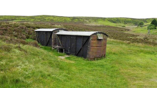
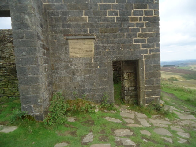
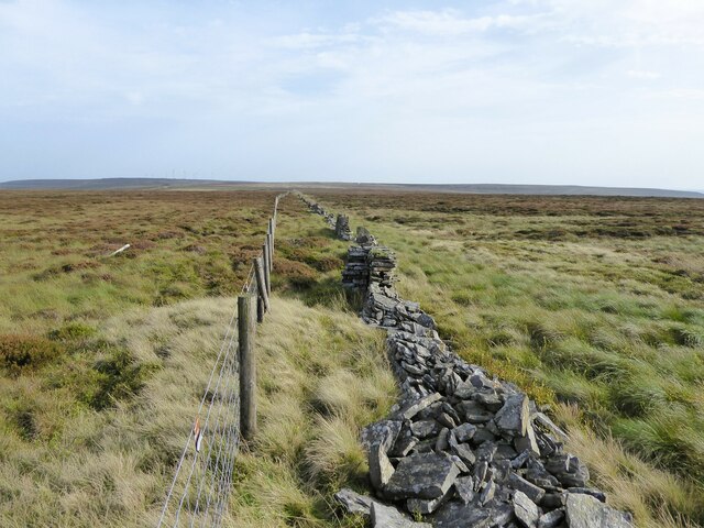
Harbour Hole Bottom Images
Images are sourced within 2km of 53.816204/-2.004626 or Grid Reference SD9935. Thanks to Geograph Open Source API. All images are credited.
Harbour Hole Bottom is located at Grid Ref: SD9935 (Lat: 53.816204, Lng: -2.004626)
Division: West Riding
Unitary Authority: Bradford
Police Authority: West Yorkshire
What 3 Words
///debut.tugging.dash. Near Oxenhope, West Yorkshire
Nearby Locations
Related Wikis

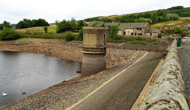
Ponden Reservoir
Ponden Reservoir is an artificial upland lake in the Worth Valley, near Stanbury, West Yorkshire, England. Ponden was built as a compensation reservoir...

Top Withens
Top Withens (SD981353) (also known as Top Withins) is a ruined farmhouse near Haworth, West Yorkshire, England, which is said to have been the inspiration...

Ponden Hall
Ponden Hall is a farmhouse near Stanbury in West Yorkshire, England. It is famous for reputedly being the inspiration for Thrushcross Grange, the home...

Scar Top
Scar Top is a farming hamlet near the tourist village of Haworth in the City of Bradford metropolitan borough, West Yorkshire in England. It is in the...

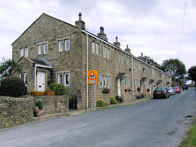
Stanbury
Stanbury is a village and former civil parish, now in the parish of Haworth and Stanbury, in the metropolitan borough of the City of Bradford in West Yorkshire...

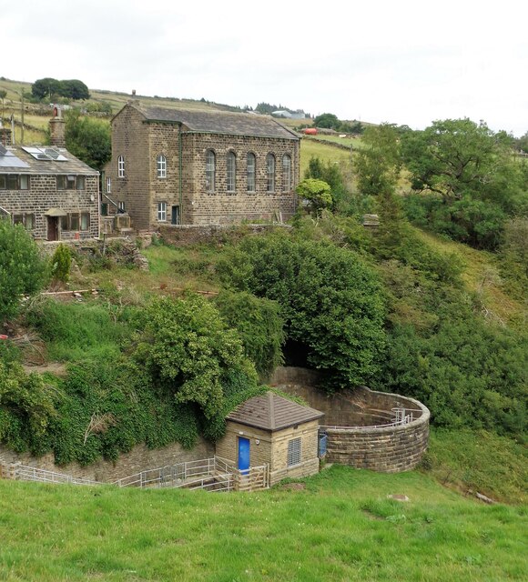
Lower Laithe Reservoir
Lower Laithe Reservoir is a man-made upland reservoir that lies 1.2 miles (2 km) west of Haworth, West Yorkshire, England. The reservoir was initially...
Oldfield, West Yorkshire
Oldfield is a small hamlet within the county of West Yorkshire, England, situated north of Stanbury and near to Oakworth. It is approximately 6 miles...
Lumbfoot
Lumbfoot or Lumb Foot is a hamlet in the Haworth, Cross Roads and Stanbury civil parish, and the City of Bradford metropolitan district, England. It is...
Nearby Amenities
Located within 500m of 53.816204,-2.004626Have you been to Harbour Hole Bottom?
Leave your review of Harbour Hole Bottom below (or comments, questions and feedback).