Haworth Moor
Hill, Mountain in Yorkshire
England
Haworth Moor
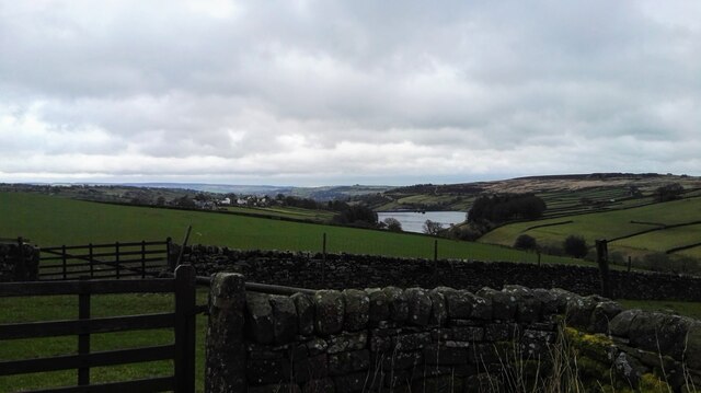
Haworth Moor is a picturesque hill located in Yorkshire, England. Situated near the charming village of Haworth, it is a popular destination for locals and tourists alike, offering stunning views and a tranquil escape from the hustle and bustle of urban life.
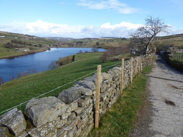
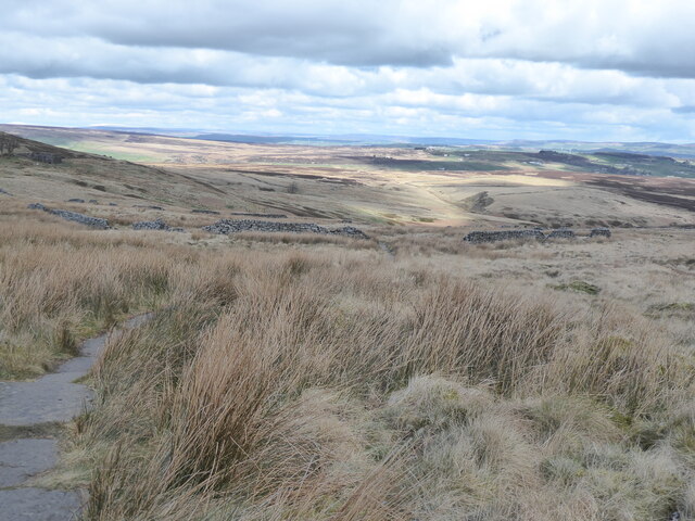
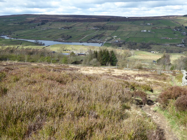
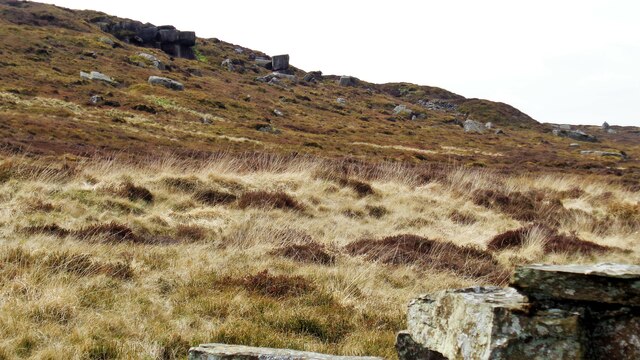
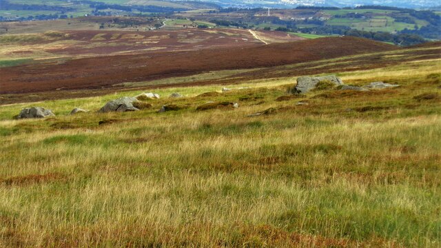
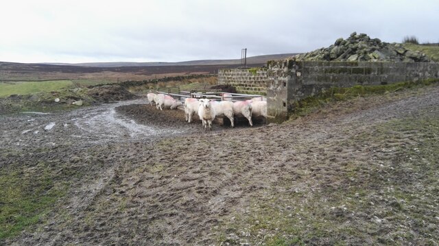
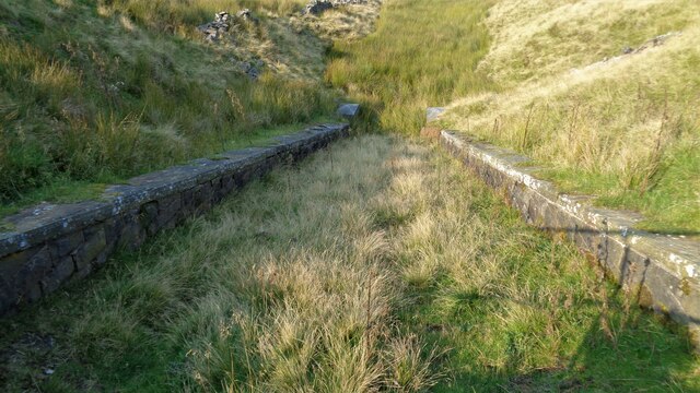
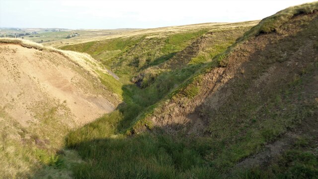
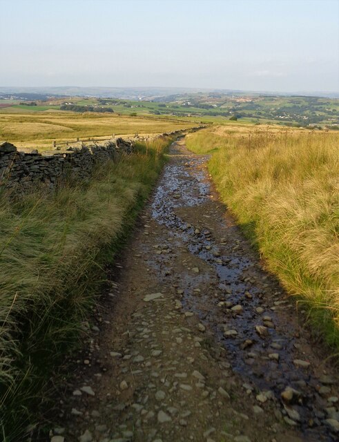
Covering an area of approximately 400 acres, Haworth Moor is a typical example of the rugged beauty of the Yorkshire landscape. Its rolling hills and rocky outcrops are covered in heather and grasses, creating a rich tapestry of colors throughout the year. The moor is also home to a variety of wildlife, including birds of prey, such as kestrels and peregrine falcons, as well as small mammals like rabbits and hares.
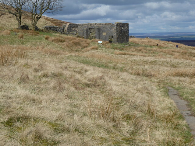
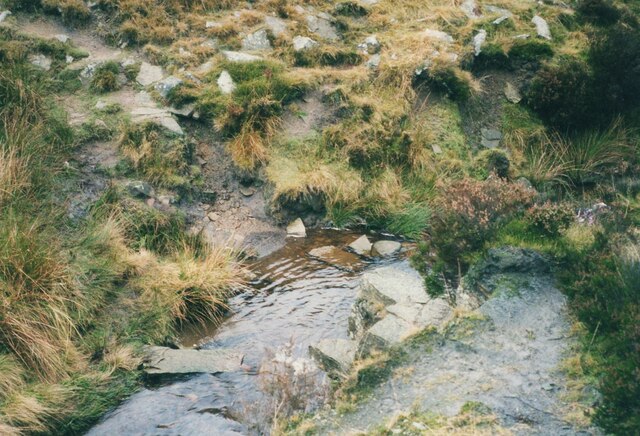
Haworth Moor is steeped in history and is often associated with the famous Bronte sisters, who lived in Haworth during the 19th century. It is said that the moorlands surrounding the village provided inspiration for their literary works, including the classic novel "Wuthering Heights." Visitors can explore the Bronte Waterfall, a picturesque cascade located on the edge of the moor, which is said to have been a favorite spot of the sisters.
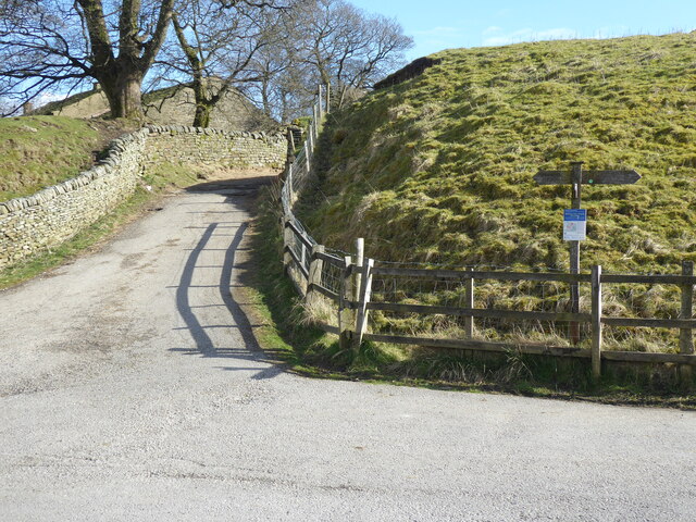
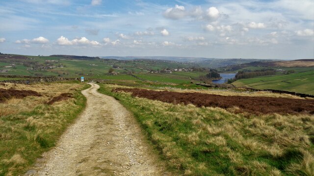
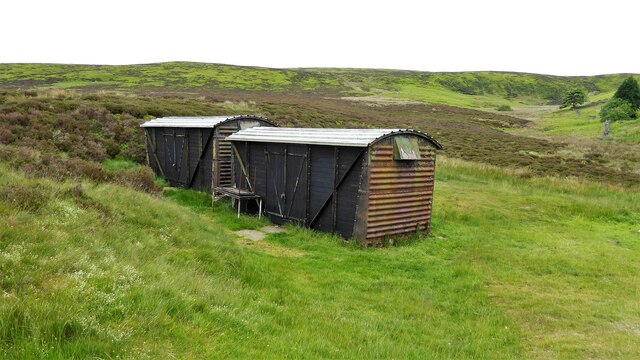
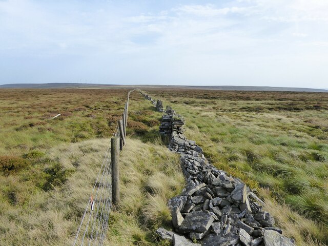
The moor is crisscrossed with footpaths and trails, making it a popular spot for walkers and hikers. From the summit of Haworth Moor, visitors can enjoy panoramic views of the surrounding countryside, taking in the rolling hills and valleys of the Yorkshire Dales.
Haworth Moor offers a peaceful and idyllic setting, where visitors can immerse themselves in nature and enjoy the beauty of the Yorkshire countryside. Whether it's a leisurely stroll or a challenging hike, this hill provides a memorable experience for all who venture to its heights.
If you have any feedback on the listing, please let us know in the comments section below.
Haworth Moor Images
Images are sourced within 2km of 53.813157/-2.0107309 or Grid Reference SD9935. Thanks to Geograph Open Source API. All images are credited.

Haworth Moor is located at Grid Ref: SD9935 (Lat: 53.813157, Lng: -2.0107309)
Division: West Riding
Unitary Authority: Bradford
Police Authority: West Yorkshire
What 3 Words
///fidget.line.carbonate. Near Oxenhope, West Yorkshire
Nearby Locations
Related Wikis

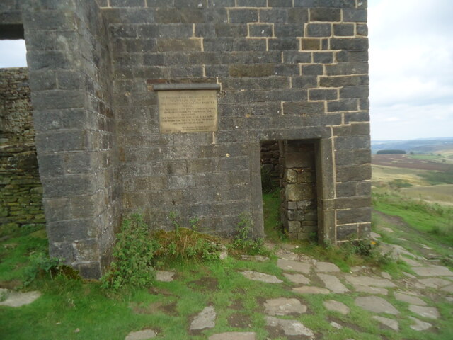
Top Withens
Top Withens (SD981353) (also known as Top Withins) is a ruined farmhouse near Haworth, West Yorkshire, England, which is said to have been the inspiration...

Ponden Reservoir
Ponden Reservoir is an artificial upland lake in the Worth Valley, near Stanbury, West Yorkshire, England. Ponden was built as a compensation reservoir...

Ponden Hall
Ponden Hall is a farmhouse near Stanbury in West Yorkshire, England. It is famous for reputedly being the inspiration for Thrushcross Grange, the home...

Scar Top
Scar Top is a farming hamlet near the tourist village of Haworth in the City of Bradford metropolitan borough, West Yorkshire in England. It is in the...

Stanbury
Stanbury is a village and former civil parish, now in the parish of Haworth and Stanbury, in the metropolitan borough of the City of Bradford in West Yorkshire...

Lower Laithe Reservoir
Lower Laithe Reservoir is a man-made upland reservoir that lies 1.2 miles (2 km) west of Haworth, West Yorkshire, England. The reservoir was initially...
Oldfield, West Yorkshire
Oldfield is a small hamlet within the county of West Yorkshire, England, situated north of Stanbury and near to Oakworth. It is approximately 6 miles...
Lumbfoot
Lumbfoot or Lumb Foot is a hamlet in the Haworth, Cross Roads and Stanbury civil parish, and the City of Bradford metropolitan district, England. It is...
Nearby Amenities
Located within 500m of 53.813157,-2.0107309Have you been to Haworth Moor?
Leave your review of Haworth Moor below (or comments, questions and feedback).