Harbour Hill

Hill, Mountain in Yorkshire

England

Harbour Hill

The Pennine Way near Ponden Hall
The Pennine Way near Ponden Hall Credit: Dave Kelly

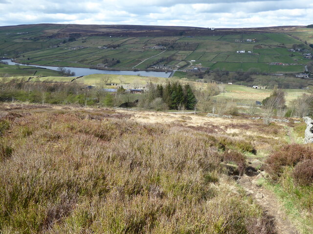
Harbour Hill is a prominent hill located in the county of Yorkshire, England. Situated in the northern region of the county, it is known for its picturesque landscapes and breathtaking views. Standing at an elevation of 500 meters (1,640 feet), Harbour Hill offers a commanding presence over the surrounding area.

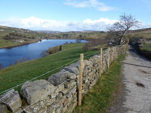
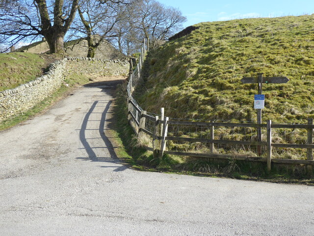
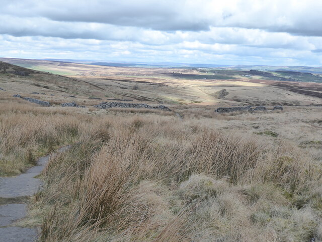
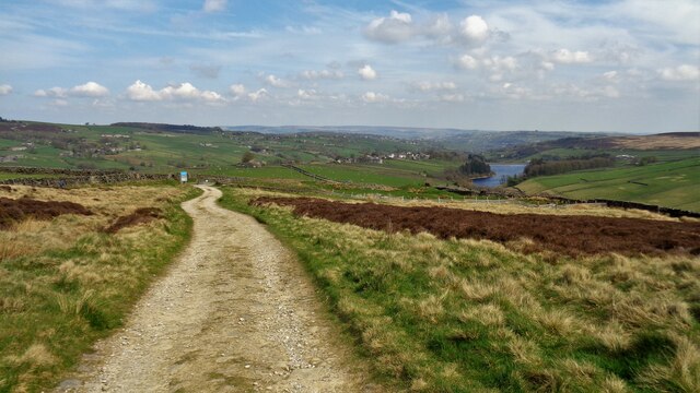
The hill is characterized by its gentle slopes and lush greenery, making it a popular destination for hikers and nature enthusiasts. Its location provides visitors with a unique vantage point to admire the surrounding countryside, including the nearby rolling hills and quaint villages that dot the landscape.

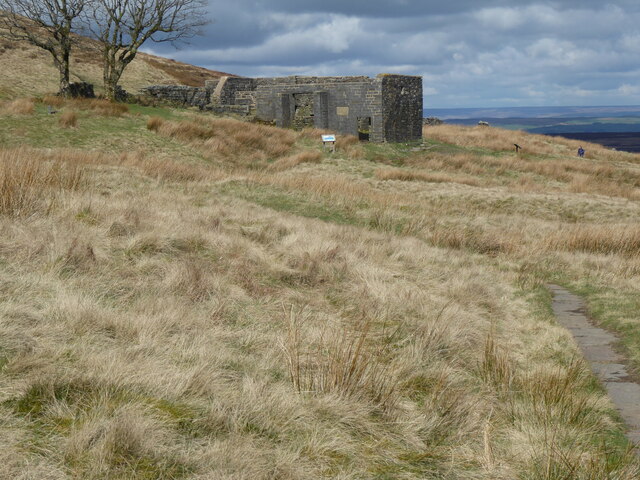
Harbour Hill holds historical significance, with evidence of human habitation dating back to ancient times. Archaeological finds in the vicinity suggest that the hill was once occupied by early settlers, who took advantage of its strategic position for defensive purposes.

The hill is also home to a diverse range of flora and fauna, with several species of wildflowers, trees, and birds inhabiting the area. Visitors can expect to encounter various wildlife while exploring the hill's numerous trails and paths.

For those seeking outdoor adventure, Harbour Hill offers ample opportunities for activities such as hiking, mountain biking, and birdwatching. The well-maintained paths and trails make it an accessible destination for people of all ages and fitness levels.

Overall, Harbour Hill in Yorkshire is a captivating natural landmark, offering visitors a chance to immerse themselves in the area's rich history and stunning scenery.

If you have any feedback on the listing, please let us know in the comments section below.
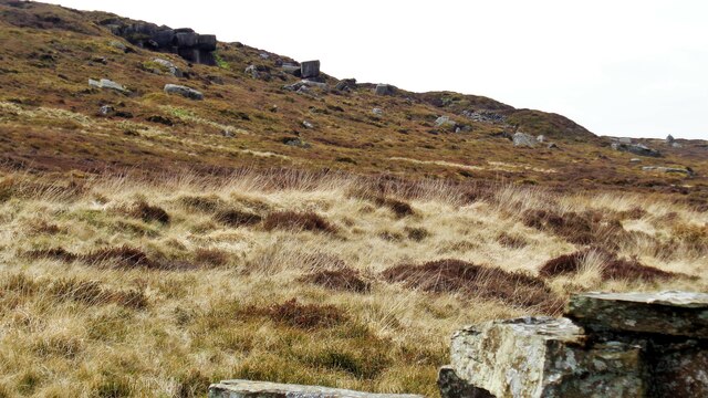
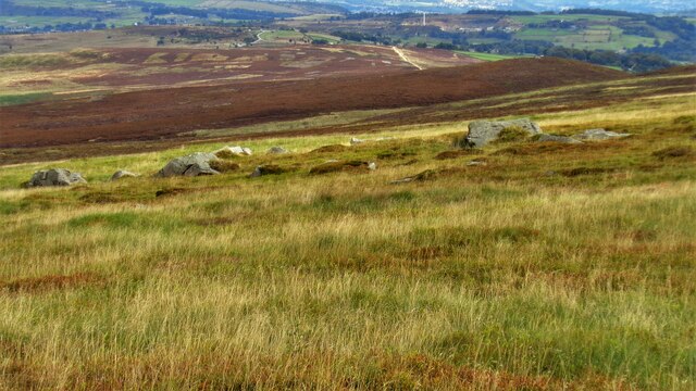
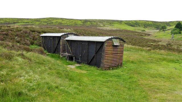
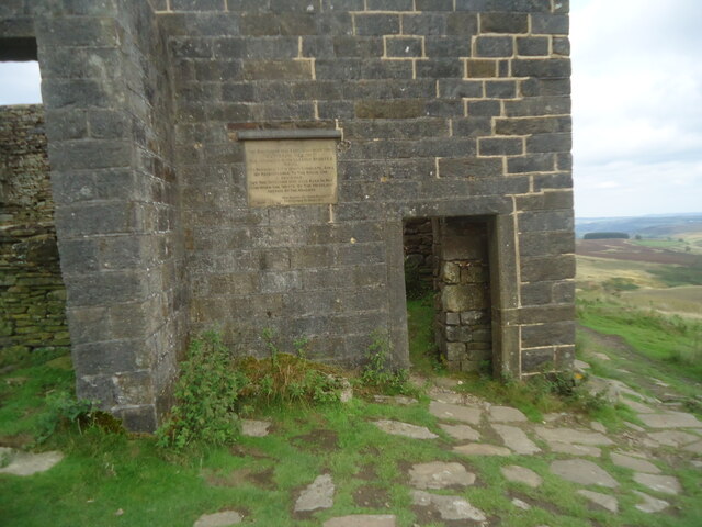
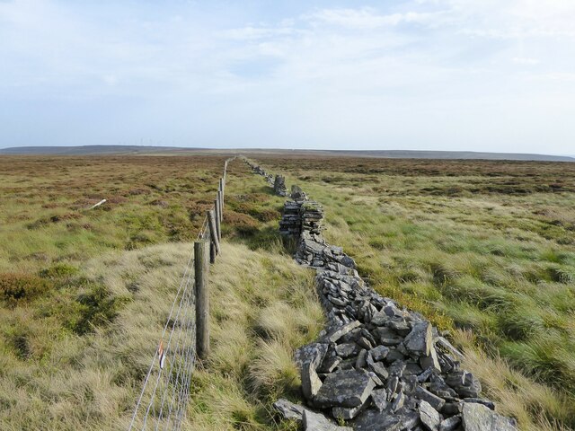
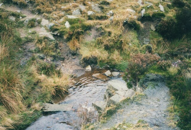
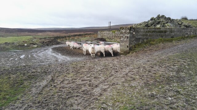
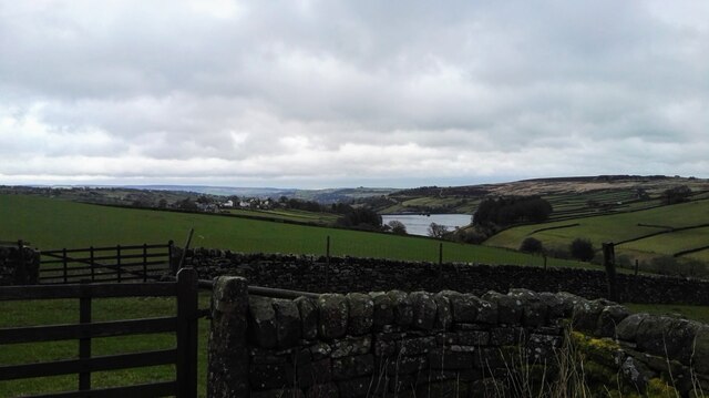
Harbour Hill Images

Images are sourced within 2km of 53.813157/-2.0106549 or Grid Reference SD9935. Thanks to Geograph Open Source API. All images are credited.

The Pennine Way near Ponden Hall
The Pennine Way near Rush Isles
The Pennine Way near Green Hole
The Pennine Bridleway near Top Withins
The Pennine Way near Duke Top
Track off The Height The access land finishes at the sign and gate
Track off The Height
The access land finishes at the sign and gate
Part of the Master Stones On Flaight Hill northern flank
Part of the Master Stones
On Flaight Hill northern flank
Pennine Way on Withins Height End The paved path is approaching the crossing of several dikes feeding Black Dike
Pennine Way on Withins Height End
The paved path is approaching the crossing of several dikes feeding Black Dike
Noonen Stones on Dick Delf Hill View from the Pennine Way on the descent from Withins Height End
Noonen Stones on Dick Delf Hill
View from the Pennine Way on the descent from Withins Height End
Shooters' Cabins Former railway van wagons used by shooters near Harbour Lodge
Shooters' Cabins
Former railway van wagons used by shooters near Harbour Lodge
The ruin of Top Withins This modest ruin beside the Pennine Way is the goal of many literary pilgrims (especially Japanese, for some reason). It is probably the place upon which Emily Bronte based the home of the Earnshaw family in Wuthering Heights, although as the plaque makes clear it was not the actual farmhouse. I have submitted it, of course, because my good friend Michael, who allows me to submit his photos, has the same surname.

For a close view of the plaque, see <a href="https://www.geograph.org.uk/photo/4991313">SD9835 : Plaque at Top Withens</a>.
The ruin of Top Withins
This modest ruin beside the Pennine Way is the goal of many literary pilgrims (especially Japanese, for some reason). It is probably the place upon which Emily Bronte based the home of the Earnshaw family in Wuthering Heights, although as the plaque makes clear it was not the actual farmhouse. I have submitted it, of course, because my good friend Michael, who allows me to submit his photos, has the same surname. For a close view of the plaque, see SD9835 : Plaque at Top Withens.
The Deep Nitch and The Waste OS maps have the Deep Nitch to the left of the fence line and The Waste to the right in this view. To the right following the fence line is an unmarked path heading to Top of Stairs.
The Deep Nitch and The Waste
OS maps have the Deep Nitch to the left of the fence line and The Waste to the right in this view. To the right following the fence line is an unmarked path heading to Top of Stairs.
Crossing South Dean Beck Another photo taken 17 years later shows that a bridge had been provided since I came this way in 2002 <a href="https://www.geograph.org.uk/photo/6165153">SD9835 : Footbridges at Withens Foot, Haworth</a>.
Crossing South Dean Beck
Another photo taken 17 years later shows that a bridge had been provided since I came this way in 2002 SD9835 : Footbridges at Withens Foot, Haworth.
Boundary stone near Dick Delf Hill
Boundary stone on Oxenhope Stoop Hill
Stile, fence and wall on Oxenhope Stoop Hill
Sheep at Bully Trees Farm Sheep sheltering from the wind behind a wall at Bully Trees Farm above Lower Laithe Reservoir.
Sheep at Bully Trees Farm
Sheep sheltering from the wind behind a wall at Bully Trees Farm above Lower Laithe Reservoir.
Lower Laithe Reservoir Looking east from Back Lane just outside of Stanbury onto Lower Laithe Reservoir.
Lower Laithe Reservoir
Looking east from Back Lane just outside of Stanbury onto Lower Laithe Reservoir.
Show me another place!

Harbour Hill is located at Grid Ref: SD9935 (Lat: 53.813157, Lng: -2.0106549)

Division: West Riding

Unitary Authority: Bradford

Police Authority: West Yorkshire

What 3 Words

///exonerate.dried.shook. Near Oxenhope, West Yorkshire

Related Wikis

Top Withens

Top Withens (SD981353) (also known as Top Withins) is a ruined farmhouse near Haworth, West Yorkshire, England, which is said to have been the inspiration...

Ponden Reservoir

Ponden Reservoir is an artificial upland lake in the Worth Valley, near Stanbury, West Yorkshire, England. Ponden was built as a compensation reservoir...

Ponden Hall

Ponden Hall is a farmhouse near Stanbury in West Yorkshire, England. It is famous for reputedly being the inspiration for Thrushcross Grange, the home...

Scar Top

Scar Top is a farming hamlet near the tourist village of Haworth in the City of Bradford metropolitan borough, West Yorkshire in England. It is in the...

Nearby Amenities

Located within 500m of 53.813157,-2.0106549
Information: guidepost
Route Ref: Millennium Way Circular Walk 8
Tourism: information
Lat/Long: 53.8127065/-2.0117627
Information: guidepost
Route Ref: Millennium Way Circular Walk 8
Tourism: information
Lat/Long: 53.815226/-2.0045704
The data included in this document is from www.openstreetmap.org. The data is made available under ODbL.

Have you been to Harbour Hill?

Leave your review of Harbour Hill below (or comments, questions and feedback).