Brontë Waterfalls
Waterfall in Yorkshire
England
Brontë Waterfalls
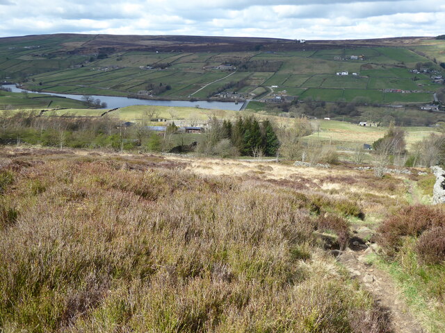
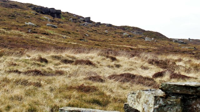
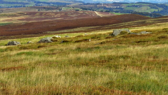
Brontë Waterfalls, located in Yorkshire, England, is a captivating natural wonder that attracts visitors with its breathtaking beauty and tranquil surroundings. This series of waterfalls is nestled within the picturesque village of Haworth, famously known as the former home of the Brontë sisters – Charlotte, Emily, and Anne.
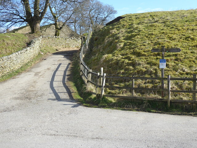
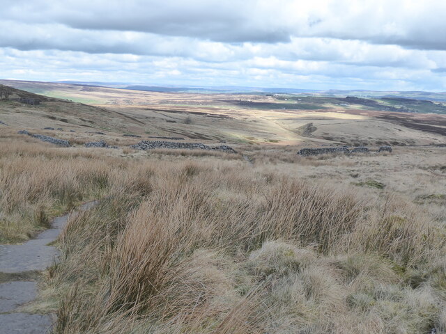
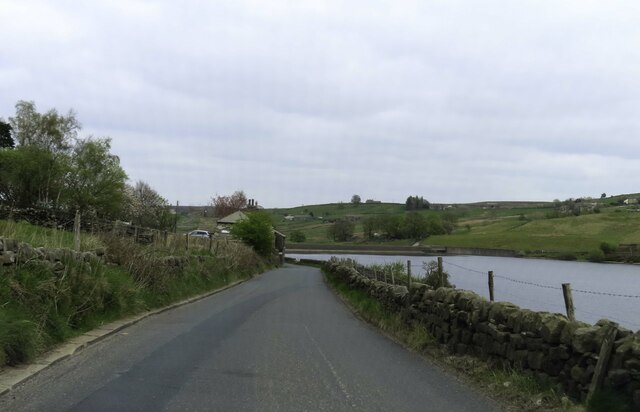
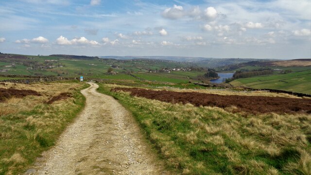
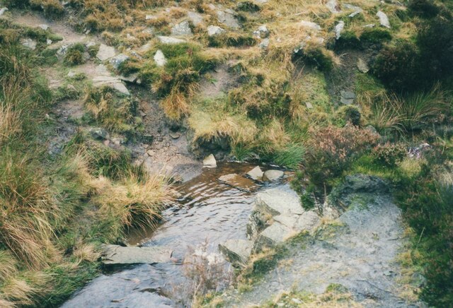
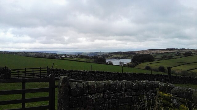
The Brontë Waterfalls trail begins at the village's historic Parsonage Museum and extends approximately two miles along the Pennine Way footpath. As visitors embark on this scenic walk, they are treated to stunning panoramic views of the surrounding countryside, lush greenery, and charming stone bridges that span across babbling brooks.
The trail leads to the first of the three waterfalls, known as Upper Falls. Here, water cascades down a steep rocky ledge, creating a mesmerizing display of nature's power. The path then continues to the second waterfall, called the Middle Falls, which offers a more tranquil setting with its gentle flow and moss-covered rocks. Finally, the trail leads to the Lower Falls, the largest and most dramatic of the three, where water crashes down into a pool below, creating a captivating spectacle.
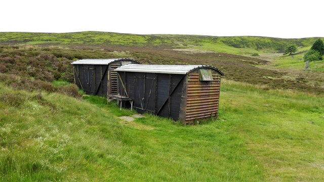
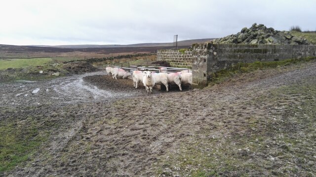
Throughout the walk, visitors can enjoy the peaceful ambiance and take advantage of numerous spots to rest and appreciate the stunning scenery. The area is teeming with wildlife, including birds, butterflies, and even the occasional deer, providing ample opportunities for nature enthusiasts and photographers.
Brontë Waterfalls is a true gem of Yorkshire, offering a perfect blend of natural wonders and literary history. It is an ideal destination for those seeking a peaceful escape and a chance to immerse themselves in the beauty of the English countryside.
If you have any feedback on the listing, please let us know in the comments section below.
Brontë Waterfalls Images
Images are sourced within 2km of 53.817795/-2.00373 or Grid Reference SD9935. Thanks to Geograph Open Source API. All images are credited.
Brontë Waterfalls is located at Grid Ref: SD9935 (Lat: 53.817795, Lng: -2.00373)
Division: West Riding
Unitary Authority: Bradford
Police Authority: West Yorkshire
What 3 Words
///initiated.sharpness.store. Near Oxenhope, West Yorkshire
Nearby Locations
Related Wikis

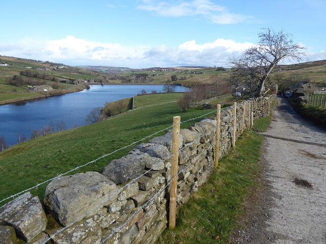
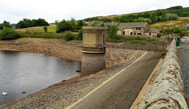
Ponden Reservoir
Ponden Reservoir is an artificial upland lake in the Worth Valley, near Stanbury, West Yorkshire, England. Ponden was built as a compensation reservoir...

Ponden Hall
Ponden Hall is a farmhouse near Stanbury in West Yorkshire, England. It is famous for reputedly being the inspiration for Thrushcross Grange, the home...

Scar Top
Scar Top is a farming hamlet near the tourist village of Haworth in the City of Bradford metropolitan borough, West Yorkshire in England. It is in the...

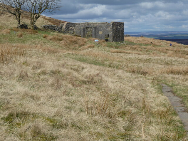
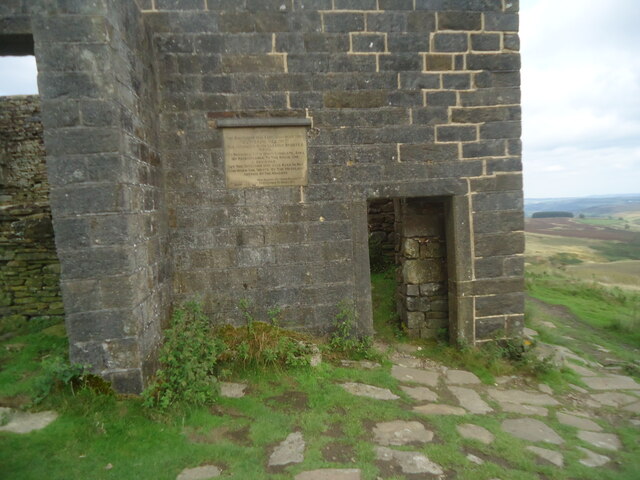
Top Withens
Top Withens (SD981353) (also known as Top Withins) is a ruined farmhouse near Haworth, West Yorkshire, England, which is said to have been the inspiration...

Stanbury
Stanbury is a village and former civil parish, now in the parish of Haworth and Stanbury, in the metropolitan borough of the City of Bradford in West Yorkshire...

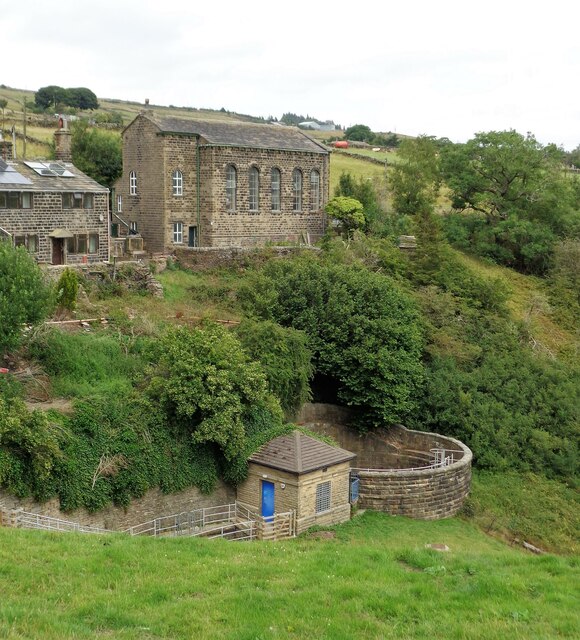
Lower Laithe Reservoir
Lower Laithe Reservoir is a man-made upland reservoir that lies 1.2 miles (2 km) west of Haworth, West Yorkshire, England. The reservoir was initially...
Oldfield, West Yorkshire
Oldfield is a small hamlet within the county of West Yorkshire, England, situated north of Stanbury and near to Oakworth. It is approximately 6 miles...
Lumbfoot
Lumbfoot or Lumb Foot is a hamlet in the Haworth, Cross Roads and Stanbury civil parish, and the City of Bradford metropolitan district, England. It is...
Nearby Amenities
Located within 500m of 53.817795,-2.00373Have you been to Brontë Waterfalls?
Leave your review of Brontë Waterfalls below (or comments, questions and feedback).