South Dean
Valley in Yorkshire
England
South Dean
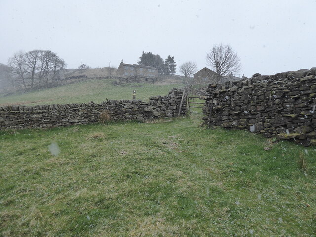
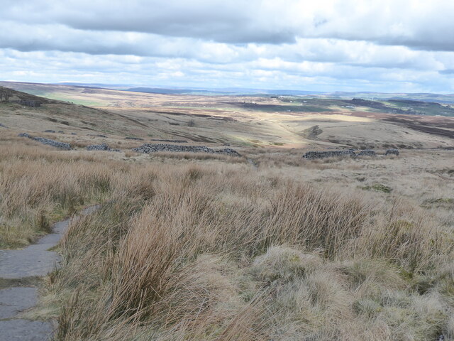
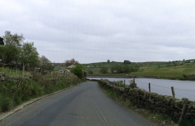
South Dean is a small valley located in the county of Yorkshire, England. Nestled amidst the picturesque landscape of the Yorkshire Dales National Park, it is known for its stunning natural beauty and tranquil atmosphere. The valley is situated in the southern region of the park, making it an ideal destination for nature enthusiasts and those seeking a peaceful retreat.
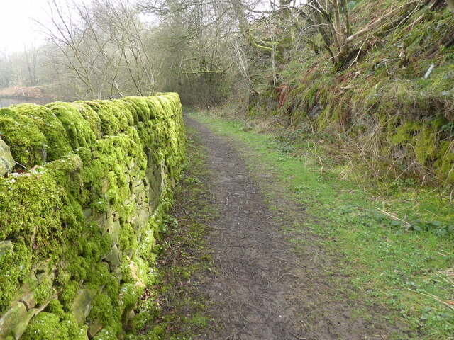
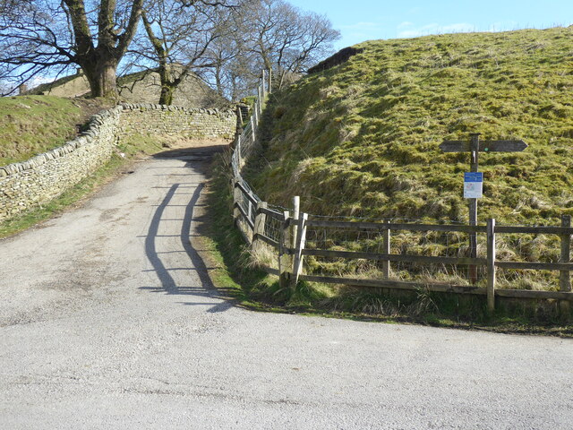
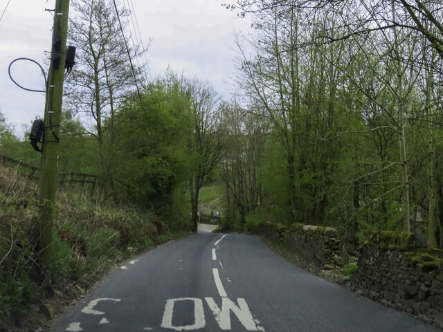
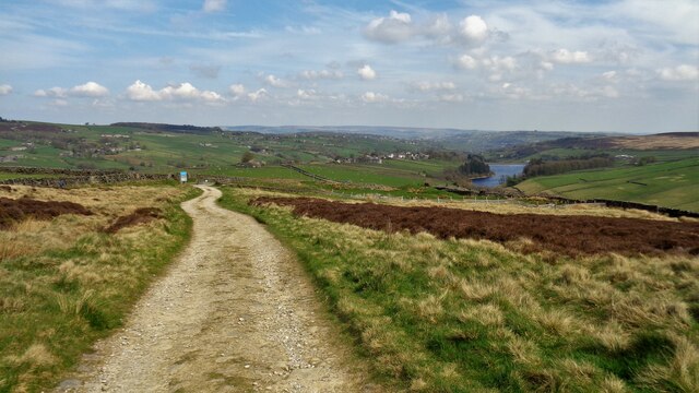
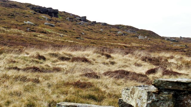
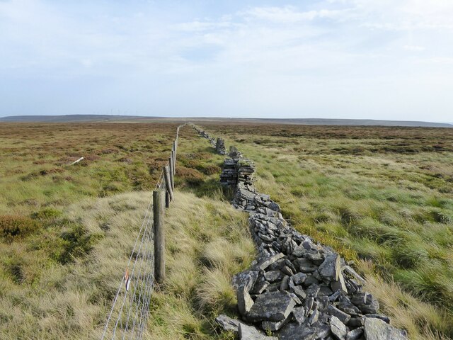
The landscape of South Dean is characterized by rolling green hills, meandering streams, and dense woodlands. The valley is home to a diverse range of flora and fauna, including various species of birds, mammals, and wildflowers. Walking trails crisscross the area, offering visitors the opportunity to explore the valley's scenic beauty on foot.
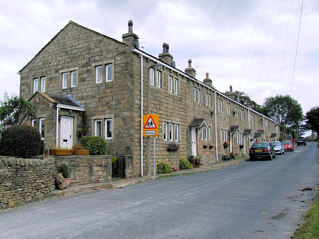
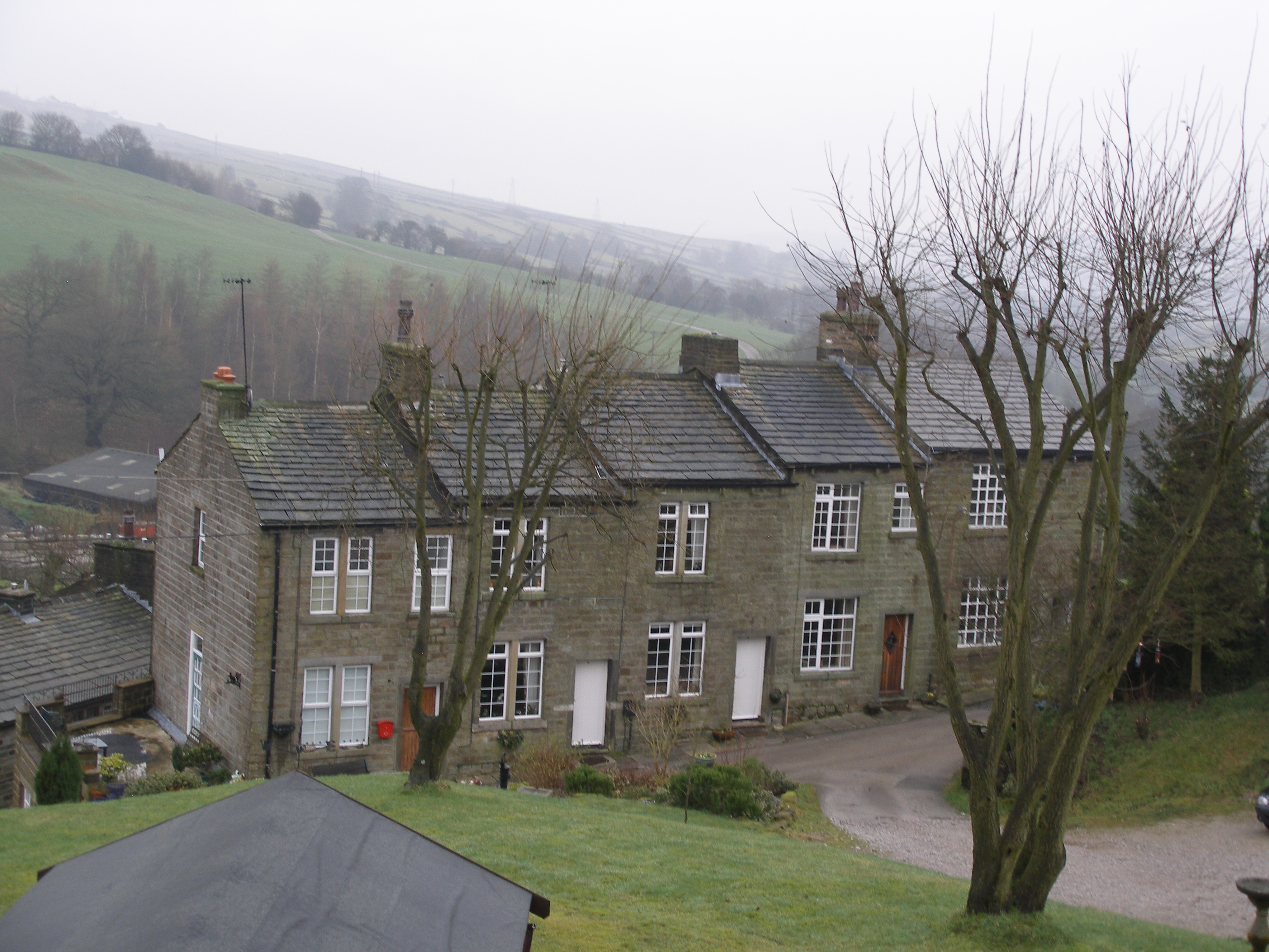
The small village of South Dean can be found at the heart of the valley. It is a charming and close-knit community, with a population of approximately 200 residents. The village features a few quaint cottages, a village hall, and a local pub, where visitors can enjoy traditional Yorkshire hospitality and sample locally brewed ales.
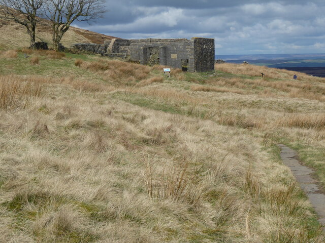
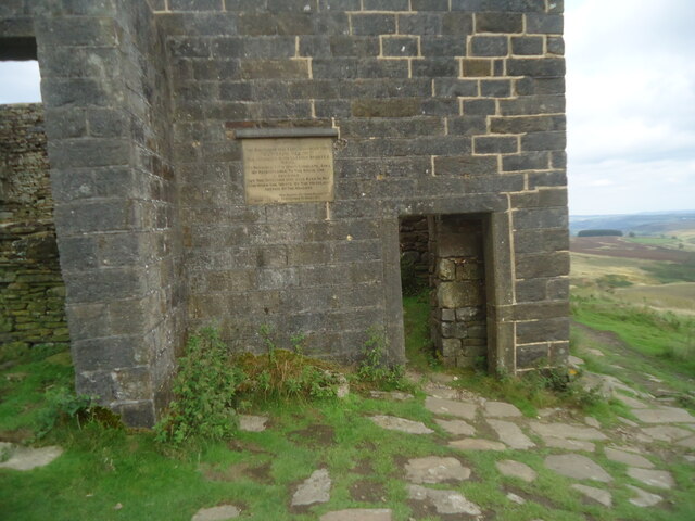
South Dean also boasts a rich cultural heritage. The valley is dotted with historical landmarks, such as ancient stone circles and medieval ruins, providing a glimpse into the region's past. Additionally, the valley hosts various events and festivals throughout the year, showcasing local traditions, arts, and crafts.
Overall, South Dean in Yorkshire offers a serene and idyllic escape for nature lovers and those seeking a peaceful retreat in the heart of the Yorkshire Dales.
If you have any feedback on the listing, please let us know in the comments section below.
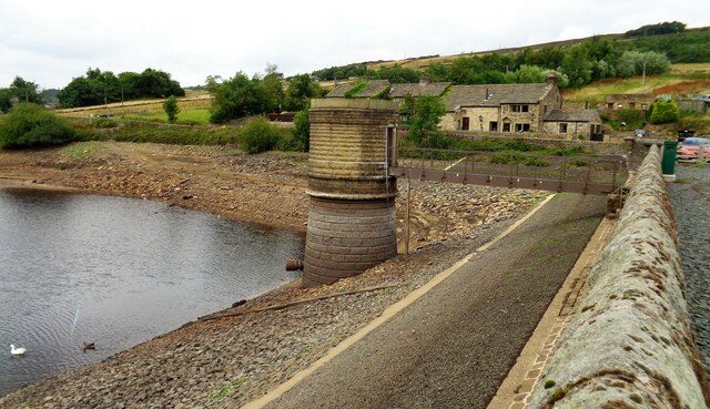
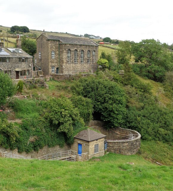
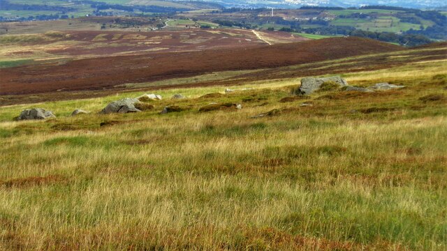
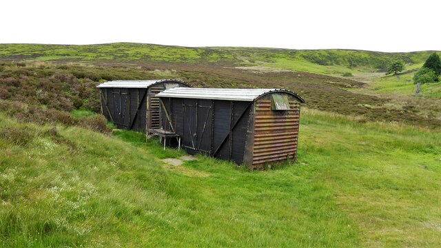
South Dean Images
Images are sourced within 2km of 53.819323/-2.0076338 or Grid Reference SD9935. Thanks to Geograph Open Source API. All images are credited.
South Dean is located at Grid Ref: SD9935 (Lat: 53.819323, Lng: -2.0076338)
Division: West Riding
Unitary Authority: Bradford
Police Authority: West Yorkshire
What 3 Words
///soonest.golf.purist. Near Oxenhope, West Yorkshire
Nearby Locations
Related Wikis

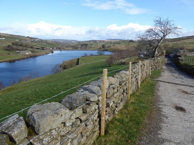
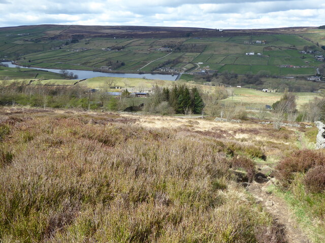
Ponden Reservoir
Ponden Reservoir is an artificial upland lake in the Worth Valley, near Stanbury, West Yorkshire, England. Ponden was built as a compensation reservoir...

Ponden Hall
Ponden Hall is a farmhouse near Stanbury in West Yorkshire, England. It is famous for reputedly being the inspiration for Thrushcross Grange, the home...

Scar Top
Scar Top is a farming hamlet near the tourist village of Haworth in the City of Bradford metropolitan borough, West Yorkshire in England. It is in the...

Top Withens
Top Withens (SD981353) (also known as Top Withins) is a ruined farmhouse near Haworth, West Yorkshire, England, which is said to have been the inspiration...

Stanbury
Stanbury is a village and former civil parish, now in the parish of Haworth and Stanbury, in the metropolitan borough of the City of Bradford in West Yorkshire...

Lower Laithe Reservoir
Lower Laithe Reservoir is a man-made upland reservoir that lies 1.2 miles (2 km) west of Haworth, West Yorkshire, England. The reservoir was initially...
Oldfield, West Yorkshire
Oldfield is a small hamlet within the county of West Yorkshire, England, situated north of Stanbury and near to Oakworth. It is approximately 6 miles...
Lumbfoot
Lumbfoot or Lumb Foot is a hamlet in the Haworth, Cross Roads and Stanbury civil parish, and the City of Bradford metropolitan district, England. It is...
Nearby Amenities
Located within 500m of 53.819323,-2.0076338Have you been to South Dean?
Leave your review of South Dean below (or comments, questions and feedback).