Ashworth Clough
Valley in Lancashire
England
Ashworth Clough
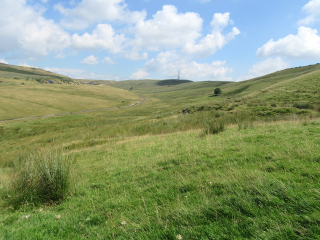
Ashworth Clough is a picturesque valley located in the county of Lancashire, England. Nestled within the South Pennines, it is renowned for its natural beauty and tranquil atmosphere. The valley is situated just a few miles north of the town of Rochdale and covers an area of approximately 3 square kilometers.
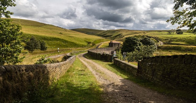
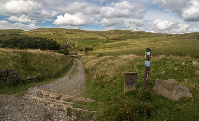
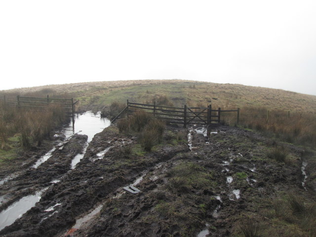
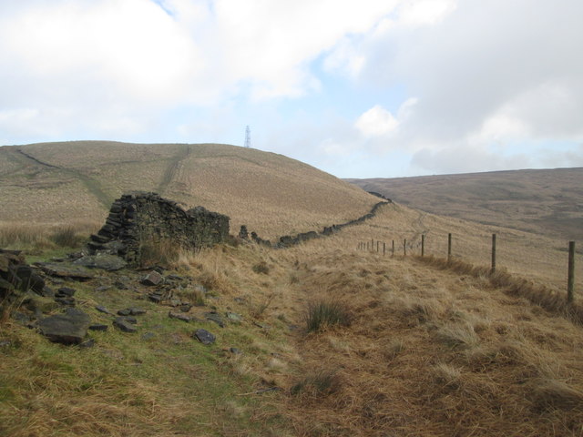
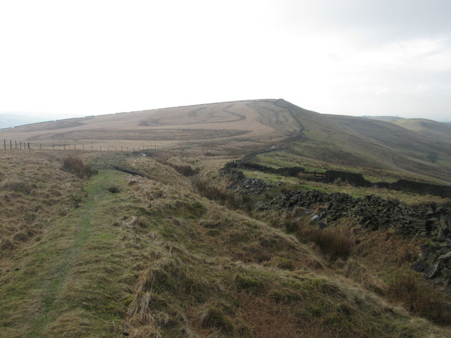
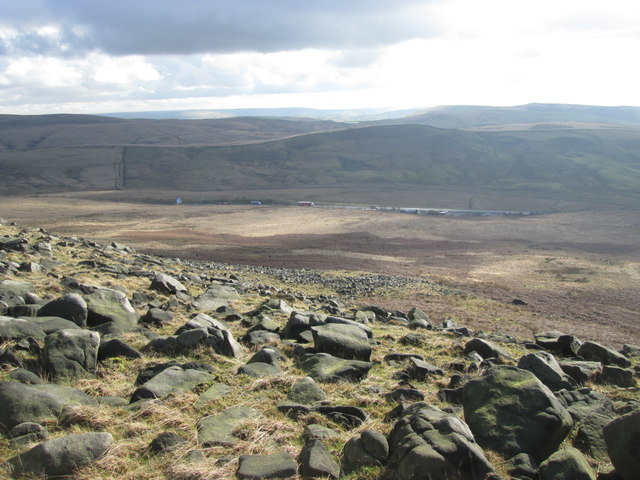
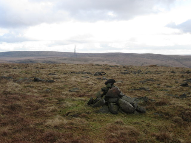
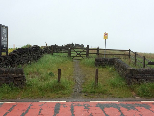
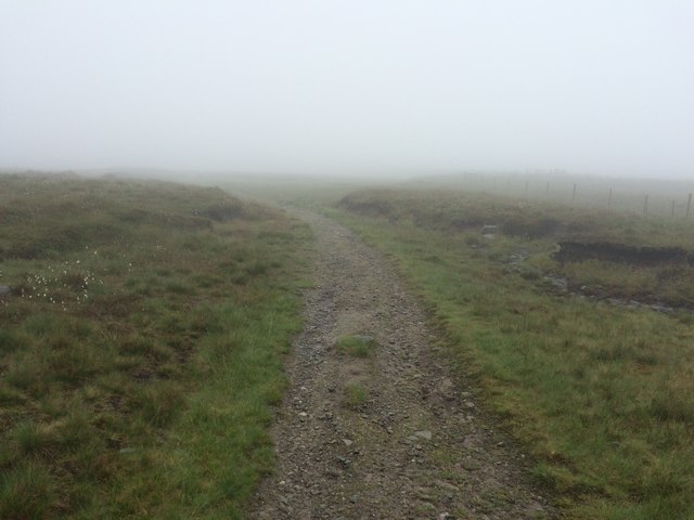
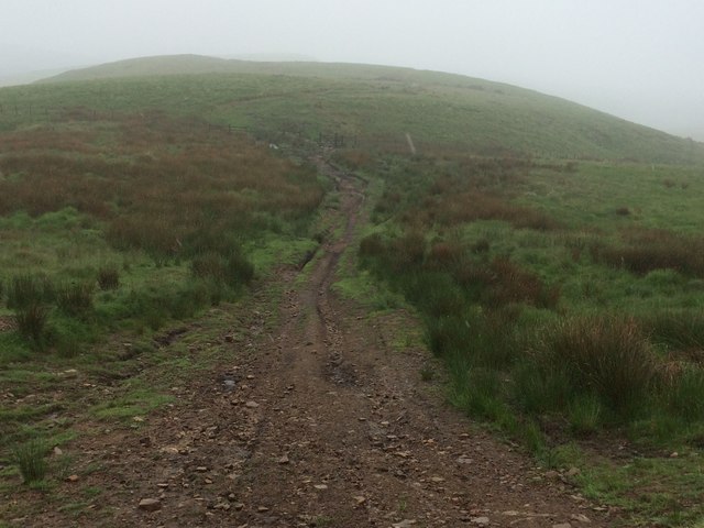
The landscape of Ashworth Clough is characterized by rolling hills, verdant meadows, and dense woodland, creating a rich tapestry of colors throughout the year. The valley is crisscrossed by a network of footpaths and bridleways, making it a popular destination for walkers, hikers, and nature enthusiasts.
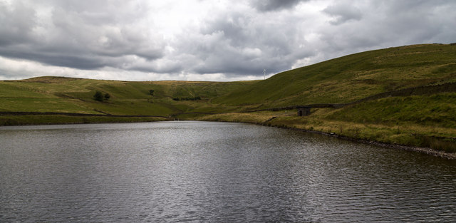
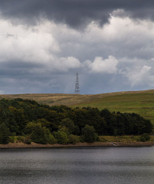
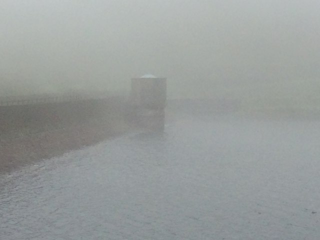
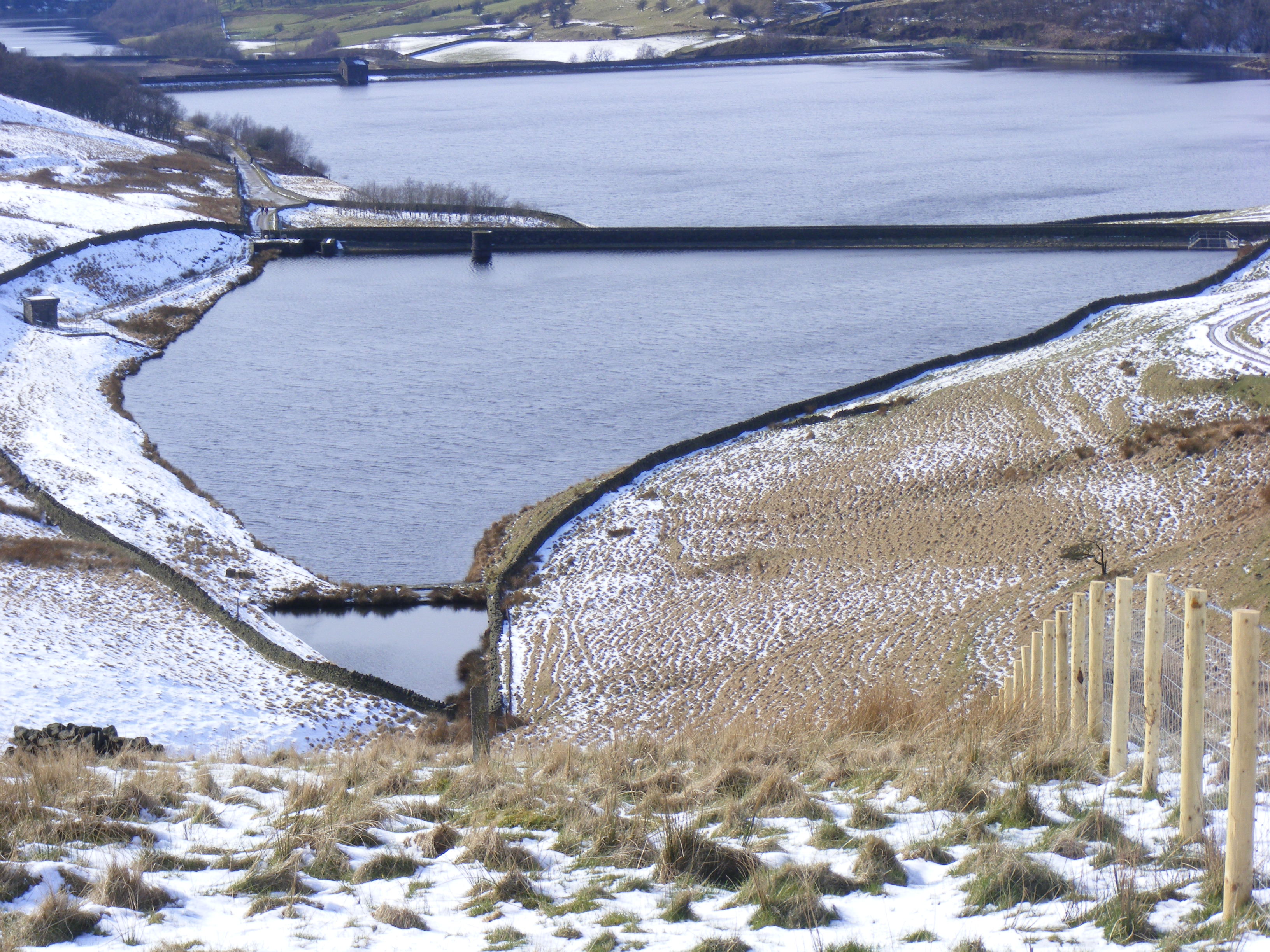
One of the standout features of Ashworth Clough is the picturesque Ashworth Reservoir, which lies at the heart of the valley. The reservoir, surrounded by lush greenery and offering stunning views, attracts many visitors who come here for fishing or simply to enjoy the peaceful surroundings.
Wildlife thrives in Ashworth Clough, with various species of birds, mammals, and insects calling this place home. Visitors may spot kestrels, buzzards, or even the elusive red deer as they explore the valley.
In addition to its natural beauty, Ashworth Clough also boasts a rich history. The area is dotted with remnants of the Industrial Revolution, including the ruins of old mills and reservoirs, providing a glimpse into Lancashire's industrial past.
Overall, Ashworth Clough is a hidden gem in Lancashire, offering visitors a chance to escape the hustle and bustle of daily life and immerse themselves in the beauty of nature.
If you have any feedback on the listing, please let us know in the comments section below.
Ashworth Clough Images
Images are sourced within 2km of 53.618228/-2.0332804 or Grid Reference SD9713. Thanks to Geograph Open Source API. All images are credited.

Ashworth Clough is located at Grid Ref: SD9713 (Lat: 53.618228, Lng: -2.0332804)
Unitary Authority: Rochdale
Police Authority: Greater Manchester
What 3 Words
///limitless.beauty.prefer. Near Littleborough, Manchester
Nearby Locations
Related Wikis

Norman Hill Reservoir
Norman Hill Reservoir is a reservoir in the Piethorne Valley in the Metropolitan Borough of Rochdale, within Greater Manchester, England. == References ==
Hanging Lees Reservoir
Hanging Lees Reservoir is a small reservoir in the Piethorne Valley in the Metropolitan Borough of Rochdale, within Greater Manchester, England. It is...

Piethorne Reservoir
Piethorne Reservoir is the largest of several reservoirs in the Piethorne Valley above Newhey, by Milnrow, in the Metropolitan Borough of Rochdale, Greater...

Rooden Reservoir
Rooden Reservoir is a reservoir in the Piethorne Valley in the Metropolitan Borough of Rochdale, within Greater Manchester, England. It is close to Denshaw...

Kitcliffe Reservoir
Kitcliffe Reservoir is a reservoir in Piethorne Valley in between Ogden and Piethorne Reservoirs in the Metropolitan Borough of Rochdale, within Greater...

Blackstone Edge
Blackstone Edge ( BLAK-stən) is a gritstone escarpment at 472 metres (1,549 ft) above sea level in the Pennine hills surrounded by moorland on the boundary...

Ogden Reservoir (Greater Manchester)
Ogden Reservoir is a reservoir in the Piethorne Valley, close to Milnrow and Newhey in the Metropolitan Borough of Rochdale, within Greater Manchester...

Denshaw
Denshaw is a village in the civil parish of Saddleworth in the Metropolitan Borough of Oldham, in Greater Manchester, England. It lies by the source of...
Nearby Amenities
Located within 500m of 53.618228,-2.0332804Have you been to Ashworth Clough?
Leave your review of Ashworth Clough below (or comments, questions and feedback).