Bleakedgate Moor
Downs, Moorland in Lancashire
England
Bleakedgate Moor
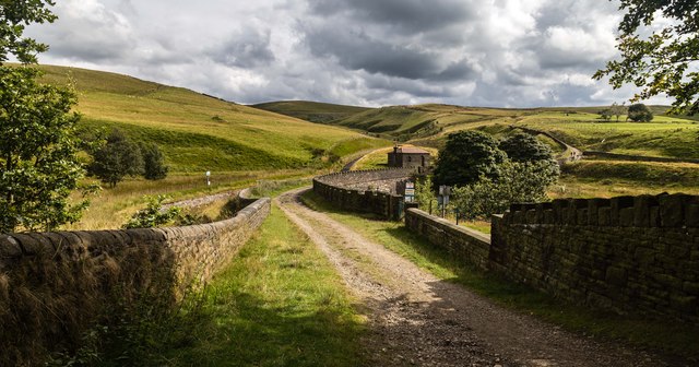
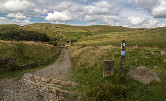
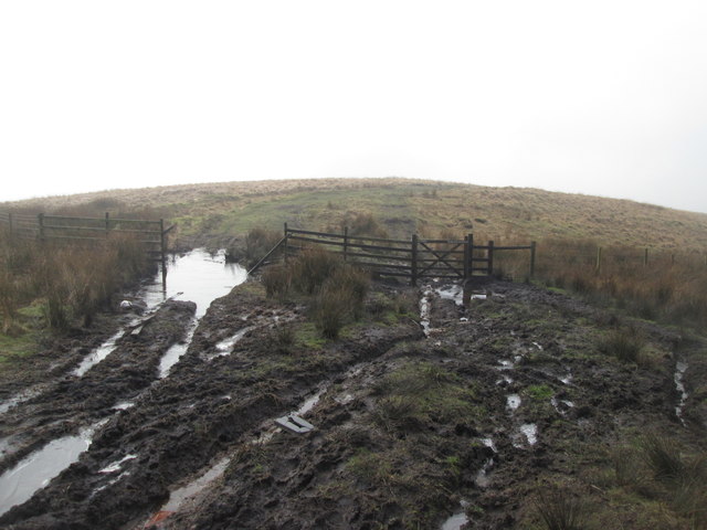
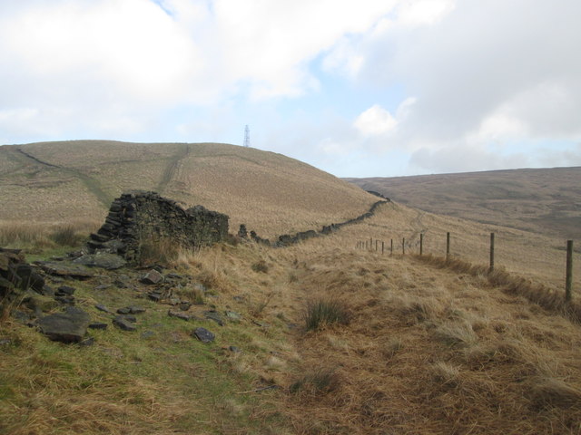
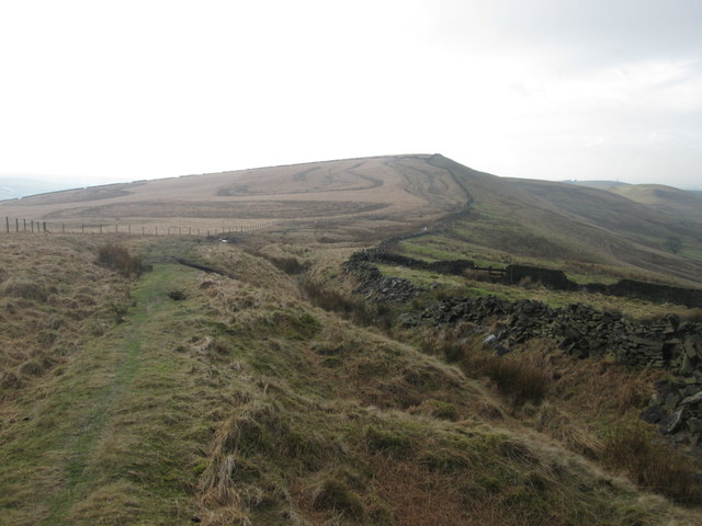
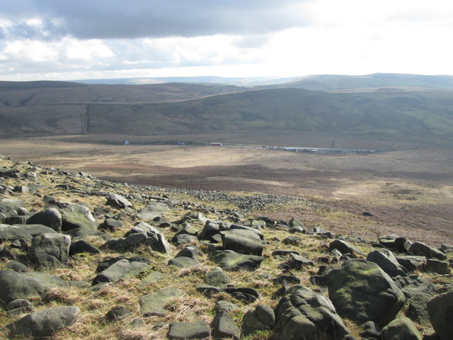
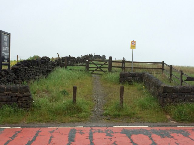
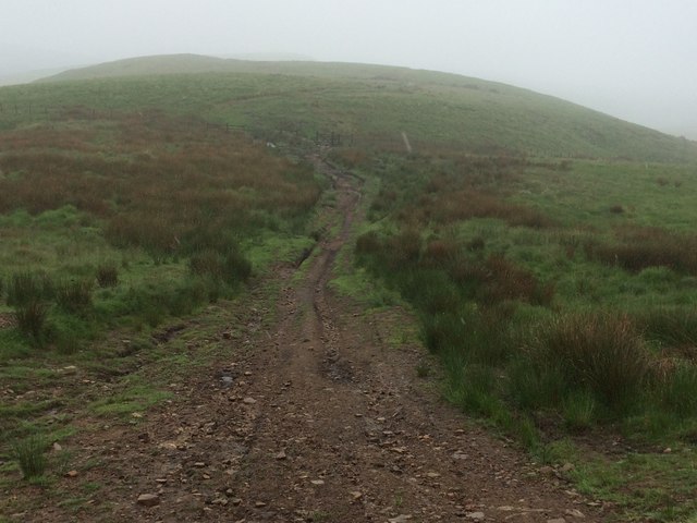
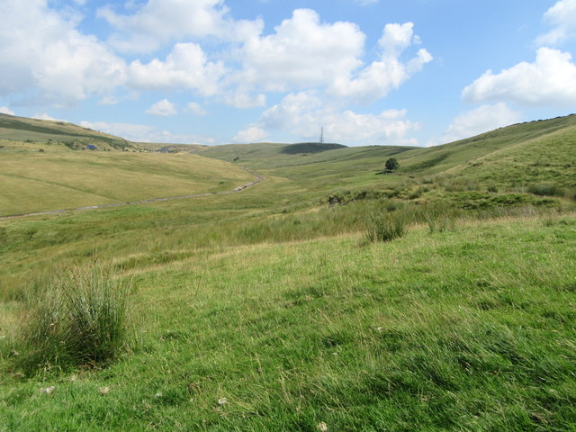
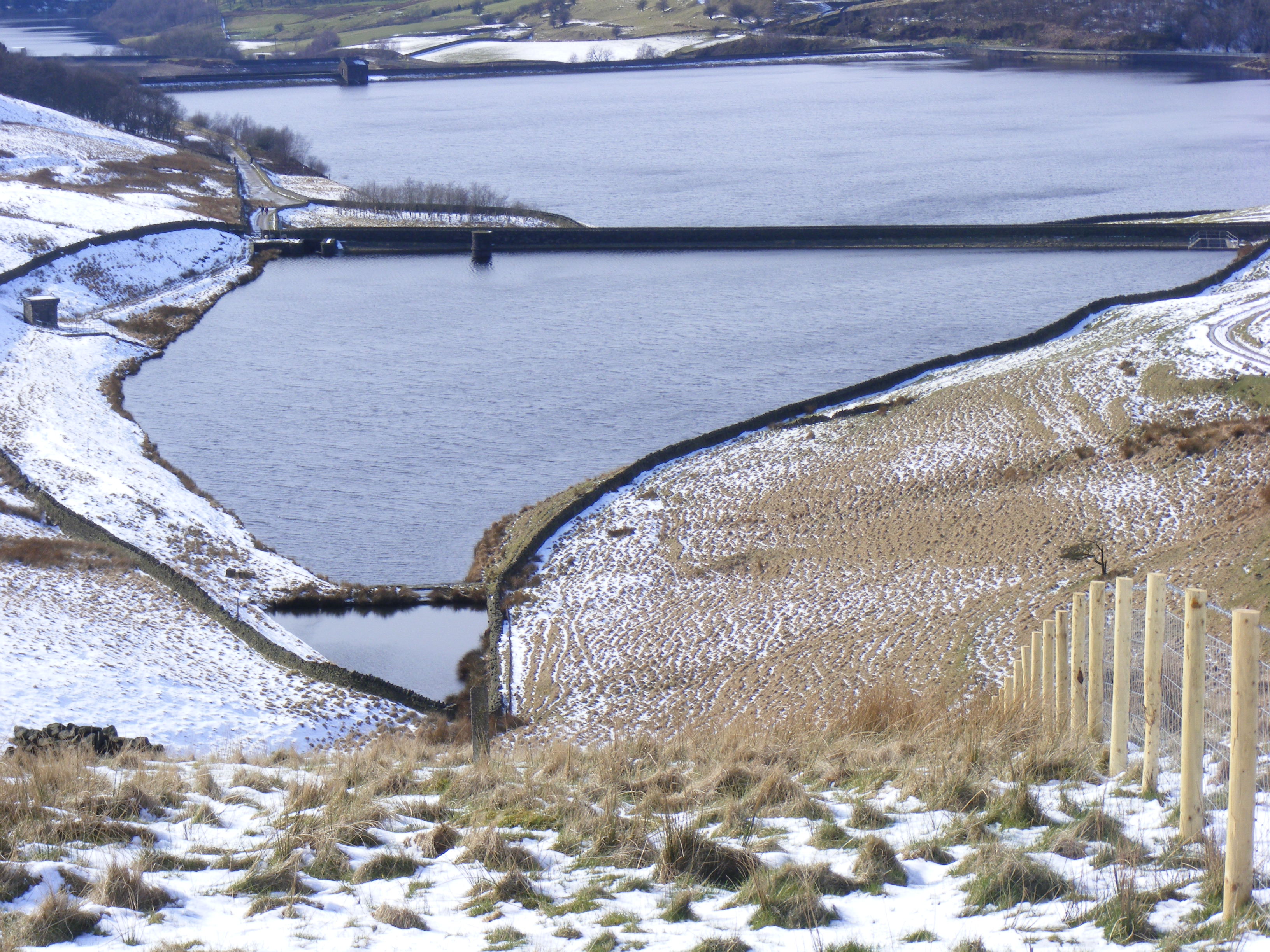
Bleakedgate Moor, located in Lancashire, England, is a vast expanse of downs and moorland that sprawls across the landscape, captivating visitors with its scenic beauty and rich history. Spanning approximately 2,000 acres, this natural gem offers a diverse range of habitats and stunning views, making it a popular destination for nature enthusiasts, hikers, and photographers.
The moorland of Bleakedgate is characterized by its rolling hills, heather-covered expanses, and scattered patches of woodland, creating a picturesque landscape that changes with the seasons. The area is home to a variety of wildlife, including birds such as lapwings, curlews, and golden plovers, which can often be spotted nesting and foraging in the open grasslands.
History buffs will find the ruins of Bleakedgate Tower, a medieval watchtower that once stood as a defensive structure during turbulent times. The tower offers a glimpse into Lancashire's past and provides a unique backdrop for exploration and reflection.
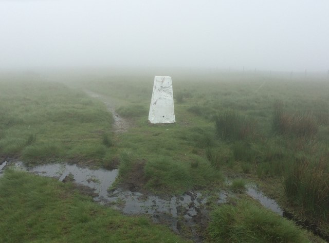
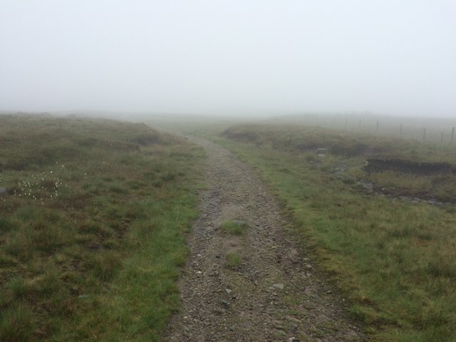
Visitors can enjoy leisurely walks along the numerous trails that crisscross the moor, immersing themselves in the tranquility of nature. The panoramic vistas and dramatic skies create a sense of peace and serenity, making Bleakedgate Moor an ideal location for relaxation and contemplation.
Access to Bleakedgate Moor is facilitated by well-maintained footpaths, ensuring a safe and enjoyable experience for all. The moor is open year-round, allowing visitors to appreciate the changing seasons and the unique beauty they bring.
In summary, Bleakedgate Moor, Lancashire, is a captivating natural landscape that combines stunning vistas, diverse wildlife, and historical ruins. It offers a tranquil escape from the hustle and bustle of everyday life, inviting visitors to immerse themselves in the beauty of nature and Lancashire's rich heritage.
If you have any feedback on the listing, please let us know in the comments section below.
Bleakedgate Moor Images
Images are sourced within 2km of 53.6175/-2.0349125 or Grid Reference SD9713. Thanks to Geograph Open Source API. All images are credited.


Bleakedgate Moor is located at Grid Ref: SD9713 (Lat: 53.6175, Lng: -2.0349125)
Unitary Authority: Rochdale
Police Authority: Greater Manchester
What 3 Words
///insisting.vans.travels. Near Littleborough, Manchester
Nearby Locations
Related Wikis

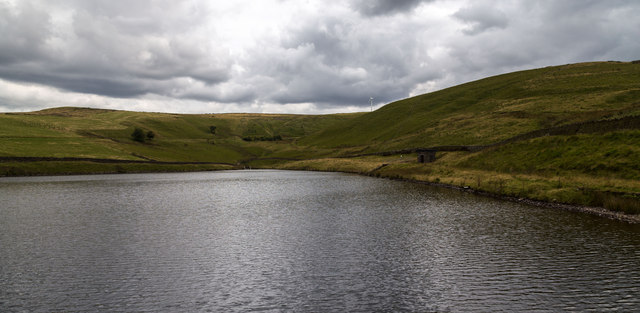
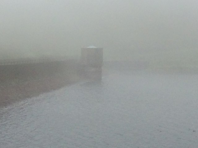
Norman Hill Reservoir
Norman Hill Reservoir is a reservoir in the Piethorne Valley in the Metropolitan Borough of Rochdale, within Greater Manchester, England. == References ==
Hanging Lees Reservoir
Hanging Lees Reservoir is a small reservoir in the Piethorne Valley in the Metropolitan Borough of Rochdale, within Greater Manchester, England. It is...

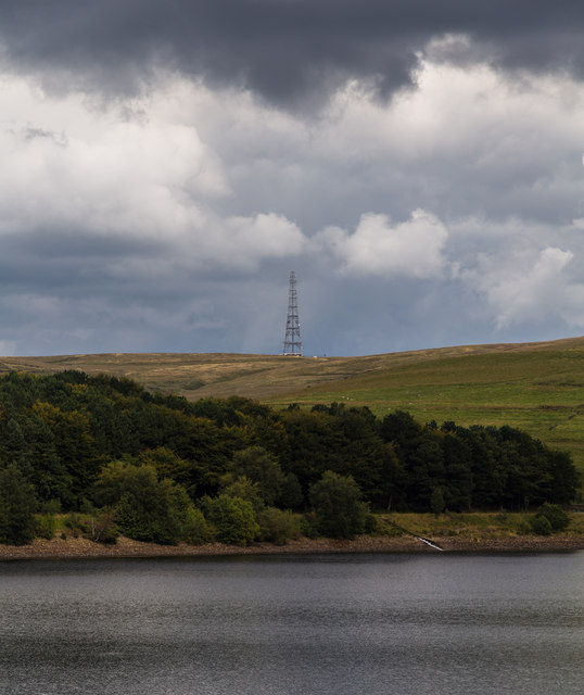
Piethorne Reservoir
Piethorne Reservoir is the largest of several reservoirs in the Piethorne Valley above Newhey, by Milnrow, in the Metropolitan Borough of Rochdale, Greater...

Rooden Reservoir
Rooden Reservoir is a reservoir in the Piethorne Valley in the Metropolitan Borough of Rochdale, within Greater Manchester, England. It is close to Denshaw...

Kitcliffe Reservoir
Kitcliffe Reservoir is a reservoir in Piethorne Valley in between Ogden and Piethorne Reservoirs in the Metropolitan Borough of Rochdale, within Greater...

Blackstone Edge
Blackstone Edge ( BLAK-stən) is a gritstone escarpment at 472 metres (1,549 ft) above sea level in the Pennine hills surrounded by moorland on the boundary...

Ogden Reservoir (Greater Manchester)
Ogden Reservoir is a reservoir in the Piethorne Valley, close to Milnrow and Newhey in the Metropolitan Borough of Rochdale, within Greater Manchester...

Denshaw
Denshaw is a village in the civil parish of Saddleworth in the Metropolitan Borough of Oldham, in Greater Manchester, England. It lies by the source of...
Nearby Amenities
Located within 500m of 53.6175,-2.0349125Have you been to Bleakedgate Moor?
Leave your review of Bleakedgate Moor below (or comments, questions and feedback).