Piethorne Clough
Valley in Lancashire
England
Piethorne Clough
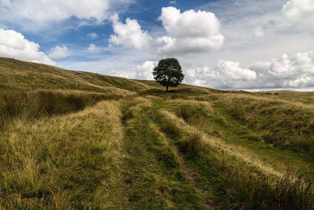
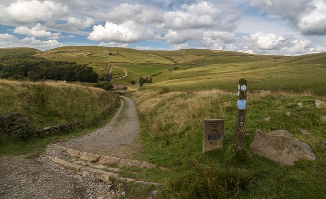
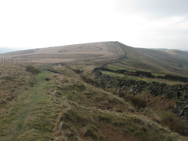
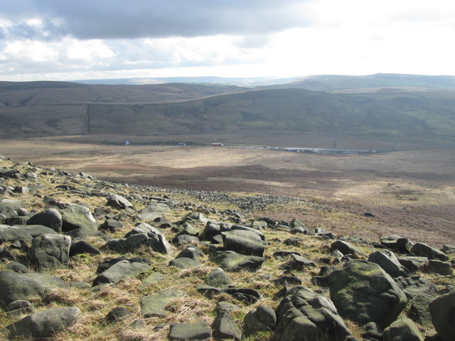
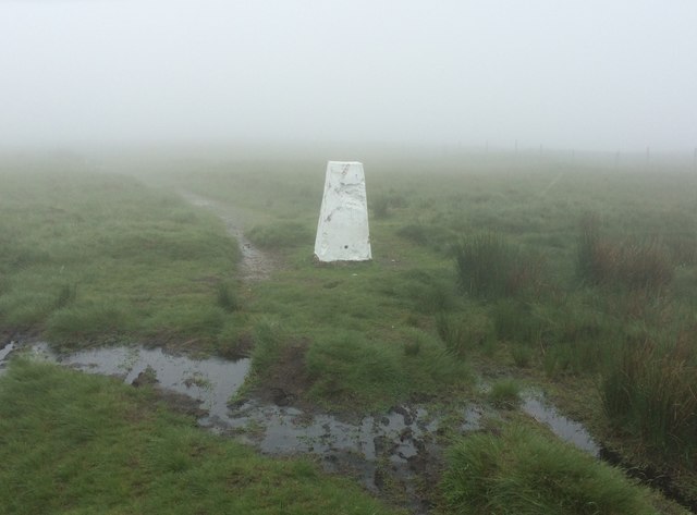
Piethorne Clough is a picturesque valley located in the county of Lancashire, England. Nestled amidst the stunning Pennine Hills, this tranquil rural area is renowned for its natural beauty and peaceful atmosphere. The valley is situated near the village of Newhey, just a few miles northeast of the town of Rochdale.
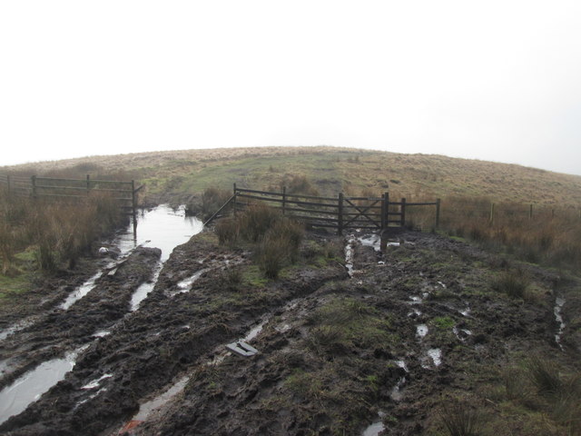
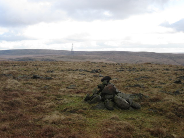
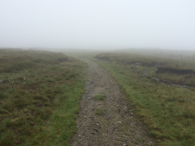
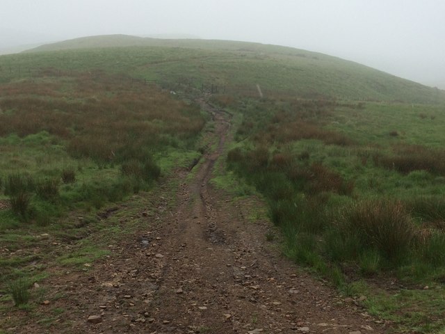
The main feature of Piethorne Clough is its enchanting wooded landscape, which is dominated by dense forests of oak, birch, and beech trees. The valley is blessed with a diverse array of flora and fauna, making it a haven for nature enthusiasts and walkers. The Clough is crisscrossed by numerous footpaths and trails, providing ample opportunities for exploring the scenic surroundings.
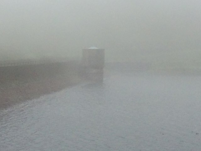
Running through the heart of Piethorne Clough is the River Beal, a crystal-clear watercourse that adds to the area's charm. The river meanders through the valley, creating small cascades and tranquil pools along the way. The soothing sound of flowing water and the sight of birds and wildlife make for a truly immersive experience in nature.
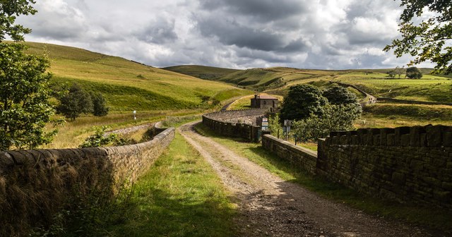
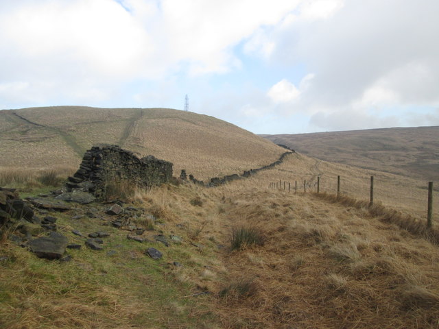
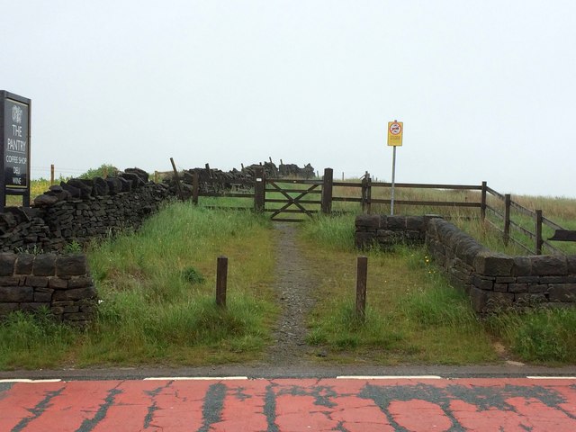
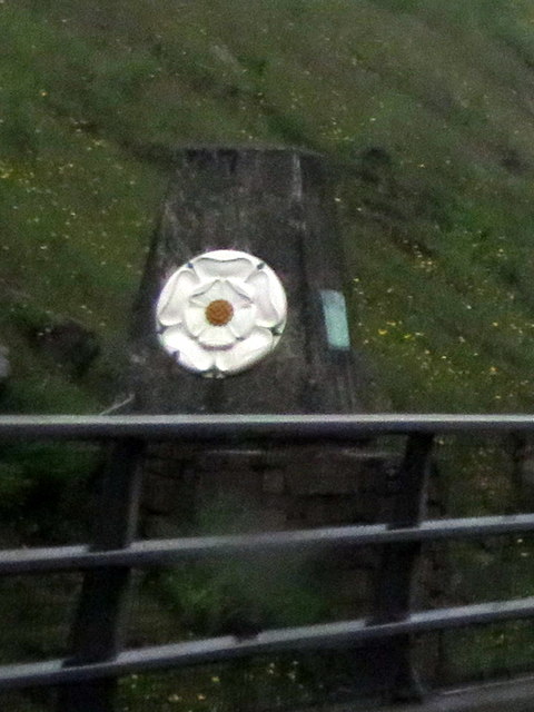
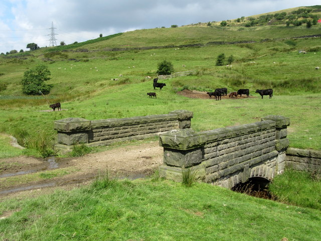
Piethorne Clough also boasts a rich history, evident in the remnants of old mills and farm buildings that dot the landscape. These remnants serve as a reminder of the area's industrial past, which was centered around textile production during the 19th century.
Overall, Piethorne Clough offers a serene and idyllic escape from the hustle and bustle of modern life. Its natural beauty, coupled with its historical significance, makes it a popular destination for those seeking a peaceful retreat or a chance to reconnect with nature.
If you have any feedback on the listing, please let us know in the comments section below.
Piethorne Clough Images
Images are sourced within 2km of 53.619808/-2.0410219 or Grid Reference SD9713. Thanks to Geograph Open Source API. All images are credited.
Piethorne Clough is located at Grid Ref: SD9713 (Lat: 53.619808, Lng: -2.0410219)
Unitary Authority: Rochdale
Police Authority: Greater Manchester
What 3 Words
///possible.mandolin.tennis. Near Littleborough, Manchester
Nearby Locations
Related Wikis

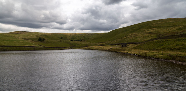
Norman Hill Reservoir
Norman Hill Reservoir is a reservoir in the Piethorne Valley in the Metropolitan Borough of Rochdale, within Greater Manchester, England. == References ==
Hanging Lees Reservoir
Hanging Lees Reservoir is a small reservoir in the Piethorne Valley in the Metropolitan Borough of Rochdale, within Greater Manchester, England. It is...

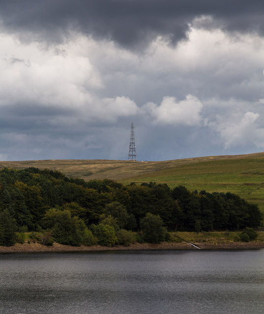
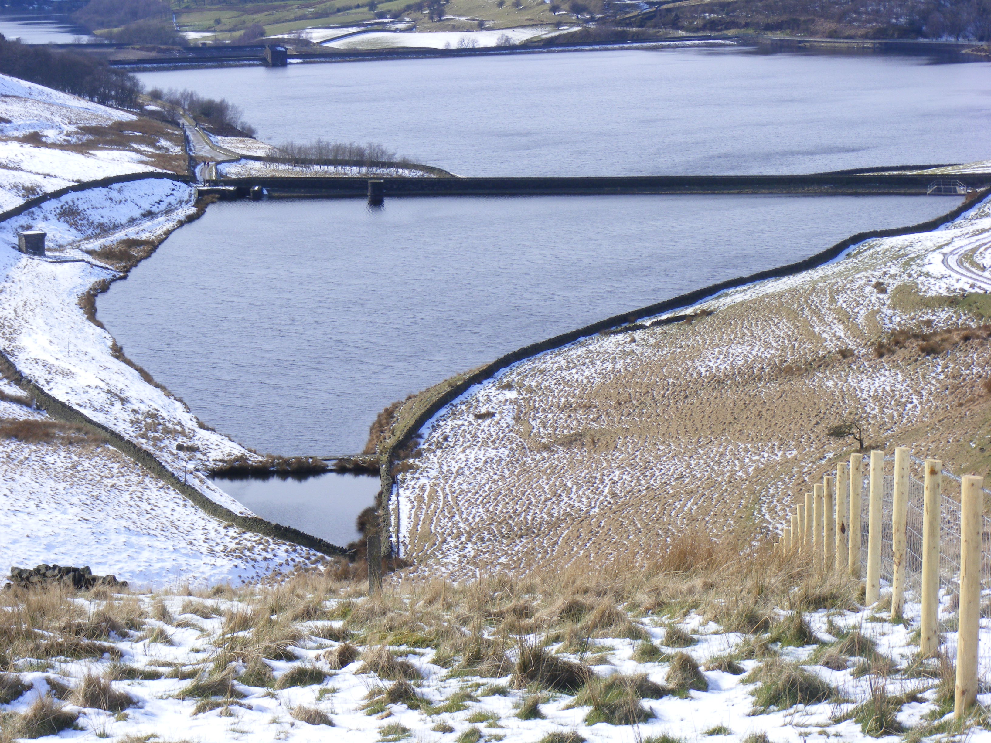
Piethorne Reservoir
Piethorne Reservoir is the largest of several reservoirs in the Piethorne Valley above Newhey, by Milnrow, in the Metropolitan Borough of Rochdale, Greater...

Kitcliffe Reservoir
Kitcliffe Reservoir is a reservoir in Piethorne Valley in between Ogden and Piethorne Reservoirs in the Metropolitan Borough of Rochdale, within Greater...

Rooden Reservoir
Rooden Reservoir is a reservoir in the Piethorne Valley in the Metropolitan Borough of Rochdale, within Greater Manchester, England. It is close to Denshaw...

Blackstone Edge
Blackstone Edge ( BLAK-stən) is a gritstone escarpment at 472 metres (1,549 ft) above sea level in the Pennine hills surrounded by moorland on the boundary...

Ogden Reservoir (Greater Manchester)
Ogden Reservoir is a reservoir in the Piethorne Valley, close to Milnrow and Newhey in the Metropolitan Borough of Rochdale, within Greater Manchester...

Rakewood Viaduct
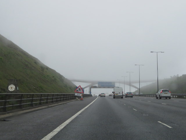
The Rakewood Viaduct carries the M62 motorway over Rakewood Valley and Longden End Brook between junctions 21 and 22 at Littleborough, Greater Manchester...
Nearby Amenities
Located within 500m of 53.619808,-2.0410219Have you been to Piethorne Clough?
Leave your review of Piethorne Clough below (or comments, questions and feedback).