Griffiths Clough
Valley in Lancashire
England
Griffiths Clough
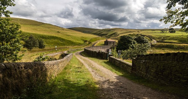
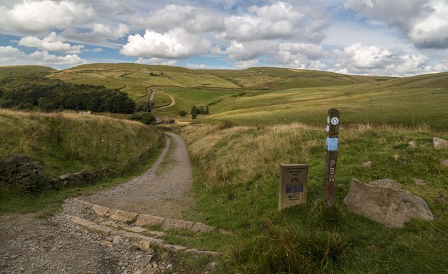
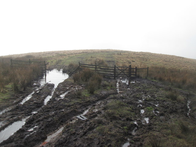
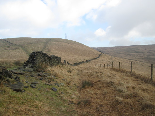
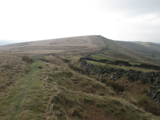
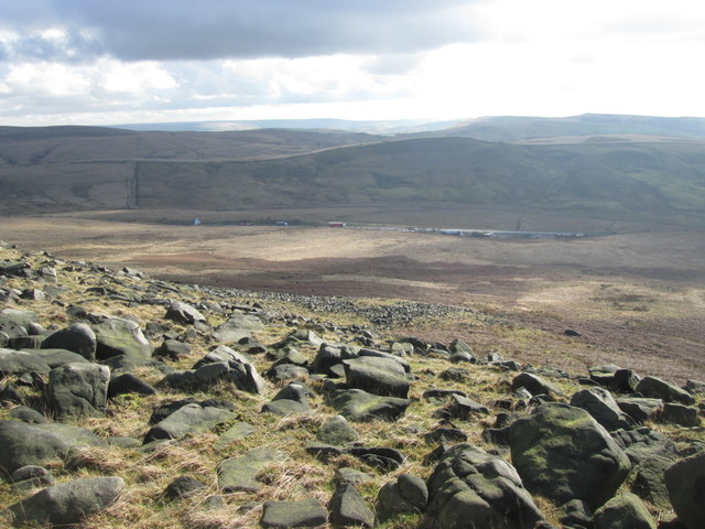
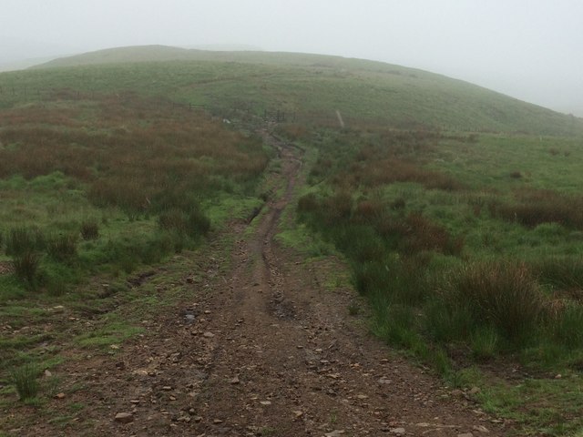
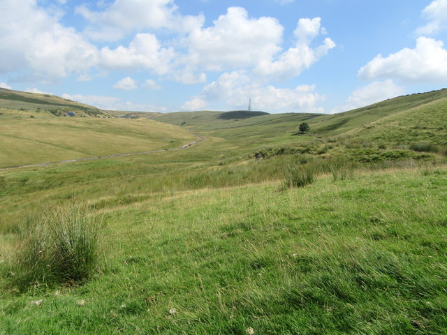
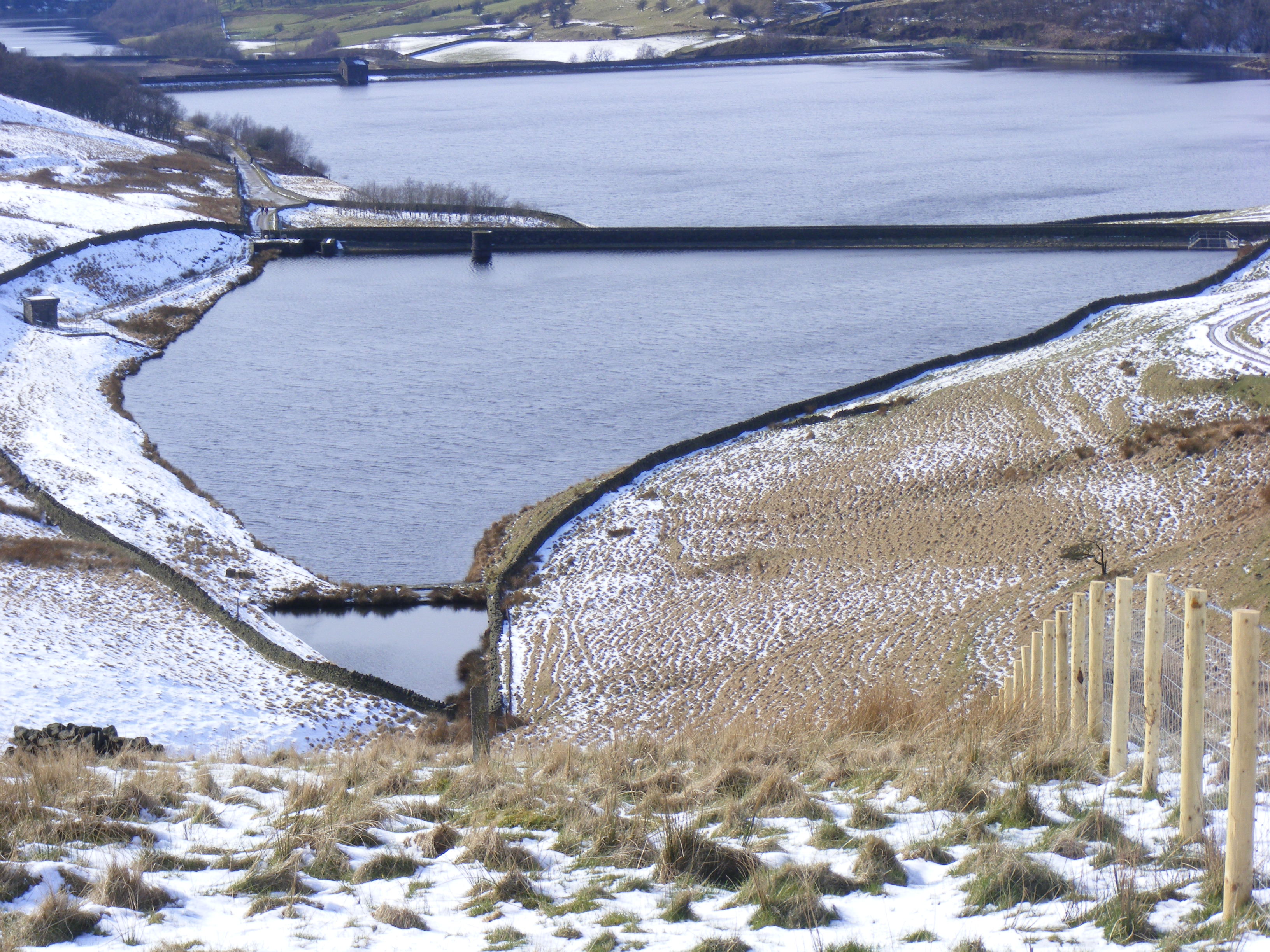
Griffiths Clough, located in Lancashire, is a picturesque valley that spans approximately 2 miles in length. Nestled within the larger region of Rossendale, this stunning natural landscape is renowned for its breathtaking beauty and tranquil atmosphere.
The valley is characterized by rolling hills and lush greenery, with a meandering river flowing through its heart. This waterway, known as Griffiths Beck, adds to the charm of the area, providing a peaceful soundtrack as it cascades over small waterfalls and meanders through the valley.
Griffiths Clough is a haven for nature enthusiasts, offering a diverse range of flora and fauna. The valley is home to a variety of bird species, including kingfishers and herons, making it a popular spot for birdwatching. Additionally, the surrounding woodlands attract an array of wildlife, such as deer and foxes, further enhancing the natural beauty and biodiversity of the area.
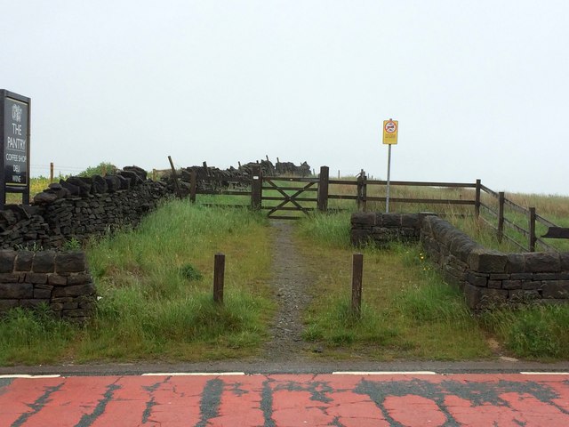
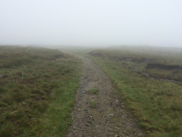
For those seeking outdoor activities, Griffiths Clough offers numerous hiking trails and footpaths that wind through the valley and surrounding hills. These routes provide stunning views of the landscape, making it a favorite destination for walkers and photographers alike.
The valley is also steeped in history, with remnants of old mills and quarries dotting the landscape. These remnants serve as a reminder of the industrial past of Lancashire and add an intriguing element to the valley's charm.
Overall, Griffiths Clough is a hidden gem in Lancashire, offering a peaceful retreat from the hustle and bustle of everyday life. Its natural beauty, diverse wildlife, and rich history make it a must-visit destination for nature lovers and history enthusiasts alike.
If you have any feedback on the listing, please let us know in the comments section below.
Griffiths Clough Images
Images are sourced within 2km of 53.617221/-2.0351692 or Grid Reference SD9713. Thanks to Geograph Open Source API. All images are credited.


Griffiths Clough is located at Grid Ref: SD9713 (Lat: 53.617221, Lng: -2.0351692)
Unitary Authority: Rochdale
Police Authority: Greater Manchester
What 3 Words
///thickens.speaker.fell. Near Littleborough, Manchester
Nearby Locations
Related Wikis

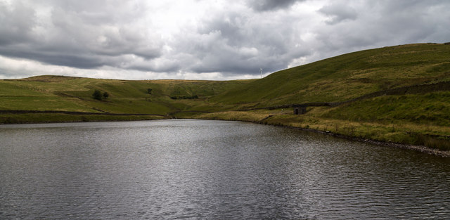
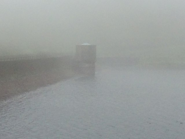
Norman Hill Reservoir
Norman Hill Reservoir is a reservoir in the Piethorne Valley in the Metropolitan Borough of Rochdale, within Greater Manchester, England. == References ==
Hanging Lees Reservoir
Hanging Lees Reservoir is a small reservoir in the Piethorne Valley in the Metropolitan Borough of Rochdale, within Greater Manchester, England. It is...

Piethorne Reservoir
Piethorne Reservoir is the largest of several reservoirs in the Piethorne Valley above Newhey, by Milnrow, in the Metropolitan Borough of Rochdale, Greater...

Rooden Reservoir
Rooden Reservoir is a reservoir in the Piethorne Valley in the Metropolitan Borough of Rochdale, within Greater Manchester, England. It is close to Denshaw...

Kitcliffe Reservoir
Kitcliffe Reservoir is a reservoir in Piethorne Valley in between Ogden and Piethorne Reservoirs in the Metropolitan Borough of Rochdale, within Greater...

Blackstone Edge
Blackstone Edge ( BLAK-stən) is a gritstone escarpment at 472 metres (1,549 ft) above sea level in the Pennine hills surrounded by moorland on the boundary...

Ogden Reservoir (Greater Manchester)
Ogden Reservoir is a reservoir in the Piethorne Valley, close to Milnrow and Newhey in the Metropolitan Borough of Rochdale, within Greater Manchester...

Denshaw
Denshaw is a village in the civil parish of Saddleworth in the Metropolitan Borough of Oldham, in Greater Manchester, England. It lies by the source of...
Nearby Amenities
Located within 500m of 53.617221,-2.0351692Have you been to Griffiths Clough?
Leave your review of Griffiths Clough below (or comments, questions and feedback).