Green Meadows
Downs, Moorland in Lancashire
England
Green Meadows
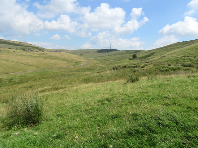
Green Meadows is a picturesque region located in the county of Lancashire, England. It is a diverse area that encompasses a combination of downs, moorland, and lush meadows, offering visitors a unique blend of natural beauty and tranquility.
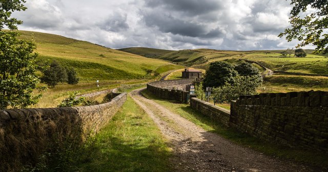
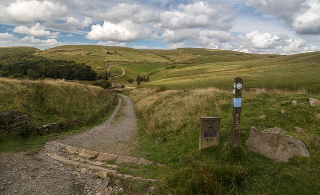
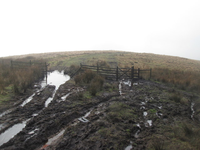
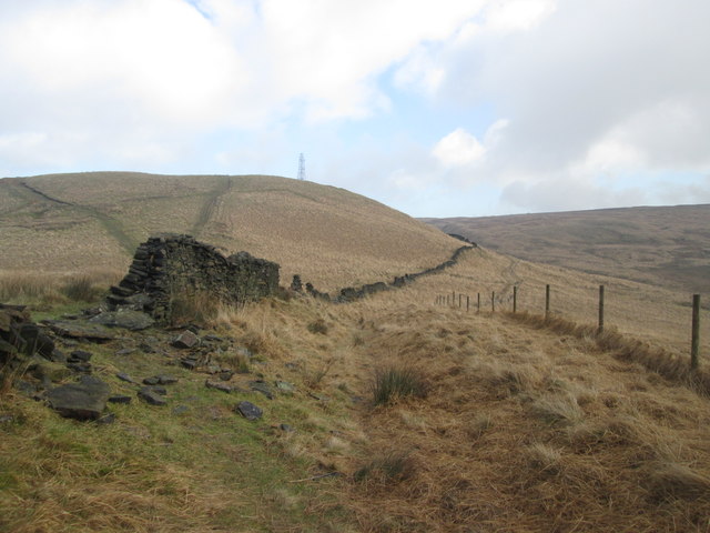
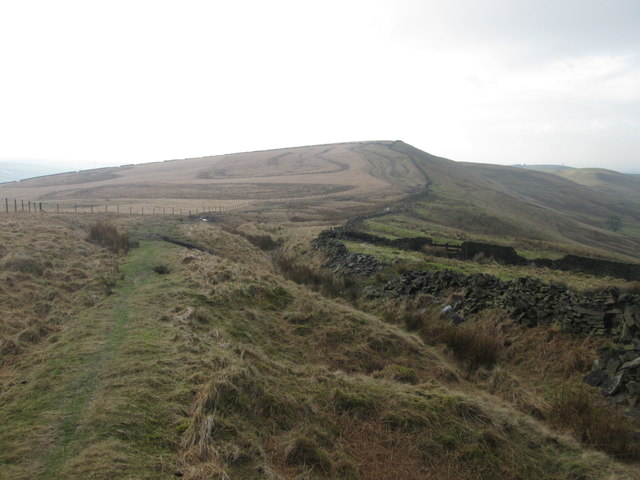
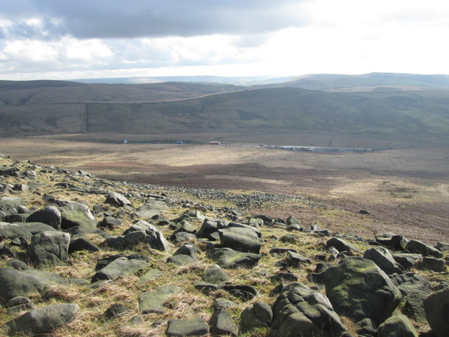
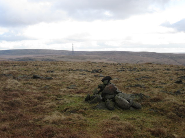
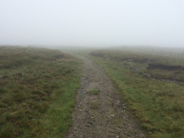
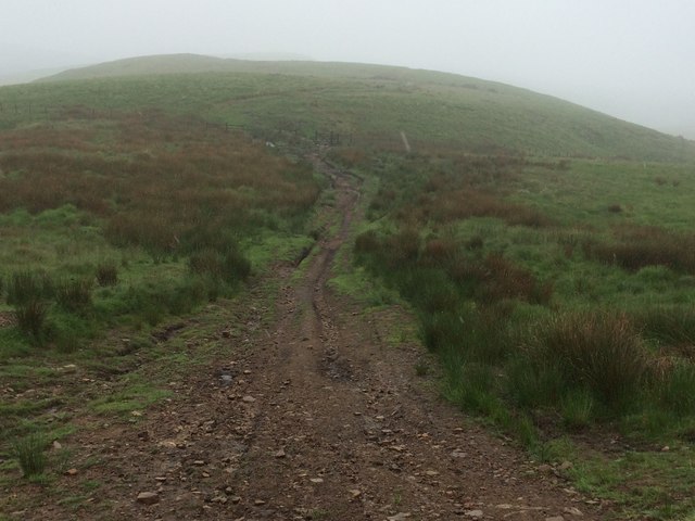
The downs in Green Meadows are characterized by rolling hills and expansive grasslands. These areas are a haven for hikers and nature enthusiasts, providing breathtaking views of the surrounding countryside. The moorland, on the other hand, is covered in heather and grasses, creating a distinct landscape that is both rugged and captivating.
One of the defining features of Green Meadows is its abundance of wildlife. The meadows are home to a wide variety of bird species, including skylarks and lapwings, making it a popular destination for birdwatchers. Additionally, the moorland provides a habitat for small mammals such as rabbits and foxes, adding to the region's ecological diversity.
The area is also steeped in history, with ancient burial mounds and stone circles scattered throughout the landscape. These remnants of the past offer a glimpse into the rich heritage of Green Meadows and provide an intriguing backdrop for visitors interested in archaeology and history.
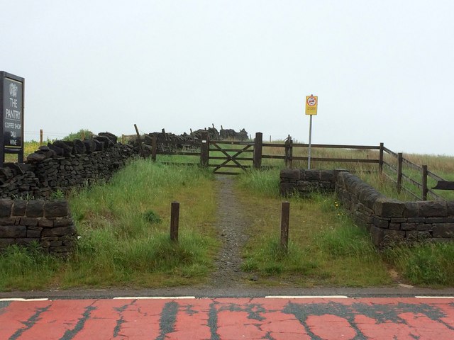
Green Meadows is easily accessible, with several well-maintained walking trails and paths that allow visitors to explore the area at their own pace. The region also boasts a number of charming villages and towns, where visitors can experience traditional English hospitality and sample local cuisine.
In conclusion, Green Meadows, Lancashire, is a captivating region that offers visitors a unique blend of natural beauty, wildlife, and historical significance. Whether it is exploring the downs, marveling at the moorland, or delving into the region's rich history, Green Meadows has something to offer for everyone.
If you have any feedback on the listing, please let us know in the comments section below.
Green Meadows Images
Images are sourced within 2km of 53.621679/-2.0336309 or Grid Reference SD9713. Thanks to Geograph Open Source API. All images are credited.

Green Meadows is located at Grid Ref: SD9713 (Lat: 53.621679, Lng: -2.0336309)
Unitary Authority: Rochdale
Police Authority: Greater Manchester
What 3 Words
///gossiping.commended.nerve. Near Littleborough, Manchester
Nearby Locations
Related Wikis

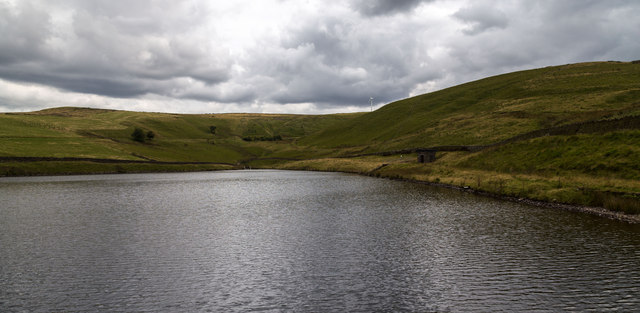
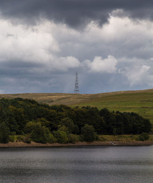
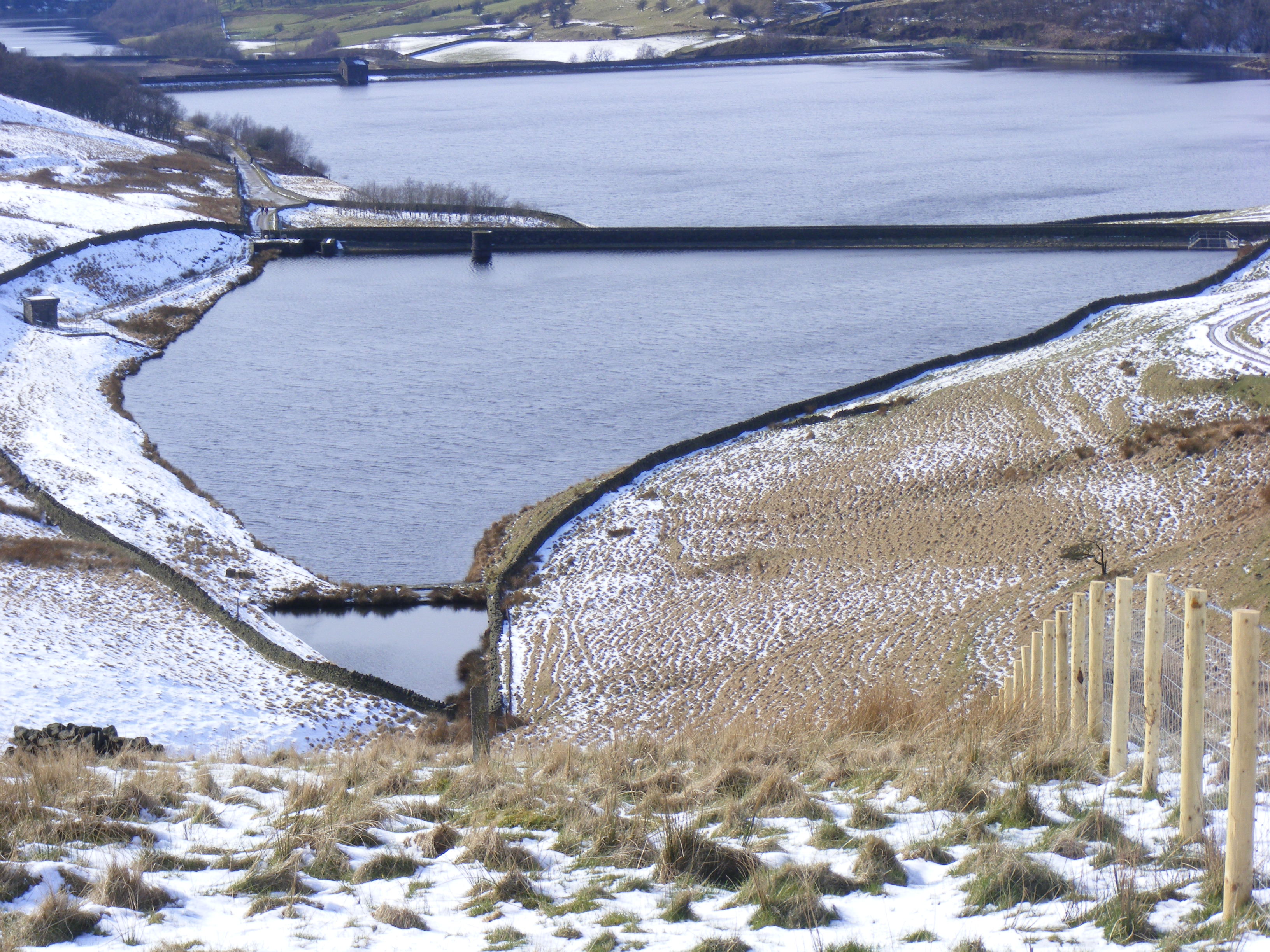
Norman Hill Reservoir
Norman Hill Reservoir is a reservoir in the Piethorne Valley in the Metropolitan Borough of Rochdale, within Greater Manchester, England. == References ==
Hanging Lees Reservoir
Hanging Lees Reservoir is a small reservoir in the Piethorne Valley in the Metropolitan Borough of Rochdale, within Greater Manchester, England. It is...

Piethorne Reservoir
Piethorne Reservoir is the largest of several reservoirs in the Piethorne Valley above Newhey, by Milnrow, in the Metropolitan Borough of Rochdale, Greater...

Blackstone Edge
Blackstone Edge ( BLAK-stən) is a gritstone escarpment at 472 metres (1,549 ft) above sea level in the Pennine hills surrounded by moorland on the boundary...

Rooden Reservoir
Rooden Reservoir is a reservoir in the Piethorne Valley in the Metropolitan Borough of Rochdale, within Greater Manchester, England. It is close to Denshaw...

Kitcliffe Reservoir
Kitcliffe Reservoir is a reservoir in Piethorne Valley in between Ogden and Piethorne Reservoirs in the Metropolitan Borough of Rochdale, within Greater...

Ogden Reservoir (Greater Manchester)
Ogden Reservoir is a reservoir in the Piethorne Valley, close to Milnrow and Newhey in the Metropolitan Borough of Rochdale, within Greater Manchester...

A640 road
The A640 is a road in England which runs between Rochdale in Greater Manchester and Huddersfield in West Yorkshire. The road's most westbound point as...
Nearby Amenities
Located within 500m of 53.621679,-2.0336309Have you been to Green Meadows?
Leave your review of Green Meadows below (or comments, questions and feedback).