Roakham Bottom

Valley in Wiltshire

England

Roakham Bottom

Telecom Mast by A303
Telecom Mast by A303 Credit: N Chadwick

Roakham Bottom is a picturesque valley located in the county of Wiltshire, England. Situated in the southern part of the county, this serene landscape is known for its natural beauty and tranquil surroundings.

The valley is nestled between rolling hills and is blessed with lush green meadows, dense woodlands, and a meandering stream that flows through its heart. The stream, locally known as Roakham Brook, adds to the charm of the valley as it gently winds its way through the landscape, creating small cascades and pools along its course.

The vegetation in Roakham Bottom is diverse, with a variety of flora and fauna thriving in this idyllic setting. The woodlands are home to an array of tree species, including oak, ash, and beech, which provide a rich habitat for numerous bird species and small mammals. Wildflowers, such as bluebells and primroses, adorn the meadows during the spring season, adding vibrant colors to the already picturesque landscape.

The valley is a popular destination for nature enthusiasts and hikers. Numerous footpaths and trails crisscross the area, offering breathtaking views and opportunities to explore the surrounding countryside. The peaceful atmosphere and unspoiled beauty of Roakham Bottom make it an ideal spot for those seeking a respite from the bustling city life.

Despite its natural charm, Roakham Bottom remains a relatively hidden gem, tucked away from major tourist routes. This ensures that visitors can enjoy the tranquility and serenity of the valley, undisturbed by crowds or commercial development.

If you have any feedback on the listing, please let us know in the comments section below.

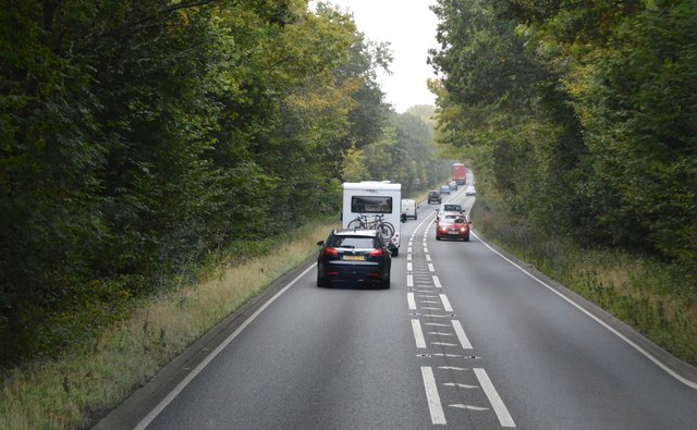
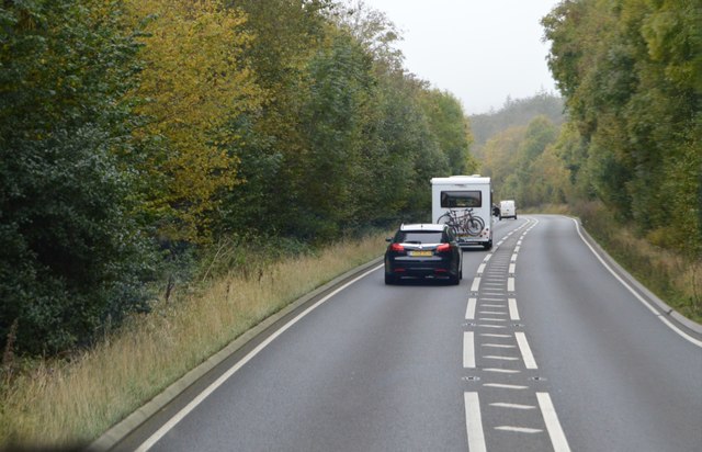
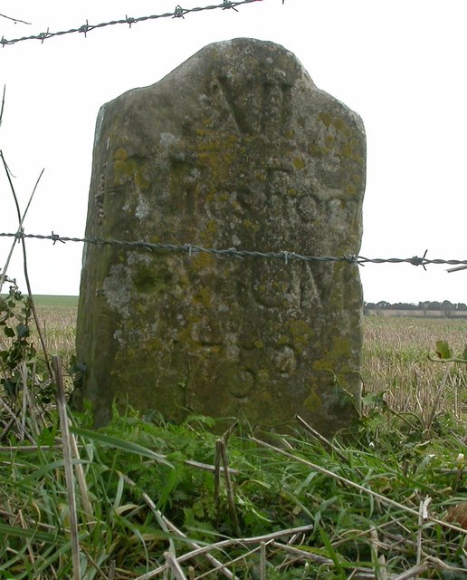
Roakham Bottom Images

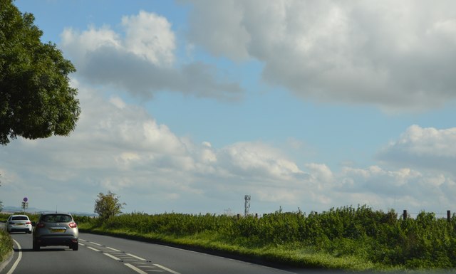
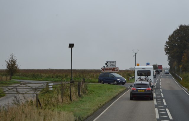
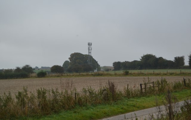
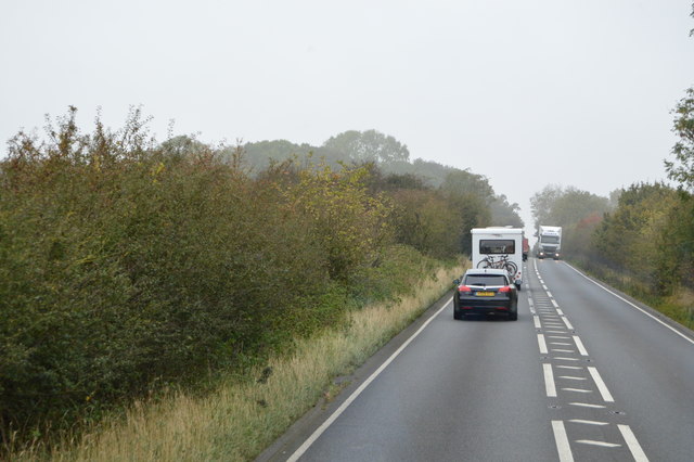
Images are sourced within 2km of 51.122973/-2.0310273 or Grid Reference ST9735. Thanks to Geograph Open Source API. All images are credited.

Telecom Mast by A303
Signs by the A303
Signs by the A303
A303 The A303 is a main trunk road running 92 miles between Basingstoke and Honiton. Along with the A30 and M3 it forms a major route between London and the South West. Much of the road is dual carriageway, but some stretches remain single and prone to congestion.

Wikipedia: <span class="nowrap"><a title="http://en.wikipedia.org/wiki/A303_road" rel="nofollow ugc noopener" href="http://en.wikipedia.org/wiki/A303_road">Link</a><img style="margin-left:2px;" alt="External link" title="External link - shift click to open in new window" src="https://s1.geograph.org.uk/img/external.png" width="10" height="10"/></span>
A303
The A303 is a main trunk road running 92 miles between Basingstoke and Honiton. Along with the A30 and M3 it forms a major route between London and the South West. Much of the road is dual carriageway, but some stretches remain single and prone to congestion. Wikipedia: LinkExternal link
A303, dual carriageway ending The A303 is a main trunk road running 92 miles between Basingstoke and Honiton. Along with the A30 and M3 it forms a major route between London and the South West. Much of the road is dual carriageway, but some stretches remain single and prone to congestion.

Wikipedia: <span class="nowrap"><a title="http://en.wikipedia.org/wiki/A303_road" rel="nofollow ugc noopener" href="http://en.wikipedia.org/wiki/A303_road">Link</a><img style="margin-left:2px;" alt="External link" title="External link - shift click to open in new window" src="https://s1.geograph.org.uk/img/external.png" width="10" height="10"/></span>
A303, dual carriageway ending
The A303 is a main trunk road running 92 miles between Basingstoke and Honiton. Along with the A30 and M3 it forms a major route between London and the South West. Much of the road is dual carriageway, but some stretches remain single and prone to congestion. Wikipedia: LinkExternal link
Copse by the A303
Copse by the A303
A303 The A303 is a main trunk road running 92 miles between Basingstoke and Honiton. Along with the A30 and M3 it forms a major route between London and the South West. Much of the road is dual carriageway, but some stretches remain single and prone to congestion.

Wikipedia: <span class="nowrap"><a title="http://en.wikipedia.org/wiki/A303_road" rel="nofollow ugc noopener" href="http://en.wikipedia.org/wiki/A303_road">Link</a><img style="margin-left:2px;" alt="External link" title="External link - shift click to open in new window" src="https://s1.geograph.org.uk/img/external.png" width="10" height="10"/></span>
A303
The A303 is a main trunk road running 92 miles between Basingstoke and Honiton. Along with the A30 and M3 it forms a major route between London and the South West. Much of the road is dual carriageway, but some stretches remain single and prone to congestion. Wikipedia: LinkExternal link
Mast by Bake Building
A303, westbound The A303 is a main trunk road running 92 miles between Basingstoke and Honiton. Along with the A30 and M3 it forms a major route between London and the South West. Much of the road is dual carriageway, but some stretches remain single and prone to congestion.

Wikipedia: <span class="nowrap"><a title="http://en.wikipedia.org/wiki/A303_road" rel="nofollow ugc noopener" href="http://en.wikipedia.org/wiki/A303_road">Link</a><img style="margin-left:2px;" alt="External link" title="External link - shift click to open in new window" src="https://s1.geograph.org.uk/img/external.png" width="10" height="10"/></span>
A303, westbound
The A303 is a main trunk road running 92 miles between Basingstoke and Honiton. Along with the A30 and M3 it forms a major route between London and the South West. Much of the road is dual carriageway, but some stretches remain single and prone to congestion. Wikipedia: LinkExternal link
A303 The A303 is a main trunk road running 92 miles between Basingstoke and Honiton. Along with the A30 and M3 it forms a major route between London and the South West. Much of the road is dual carriageway, but some stretches remain single and prone to congestion.

Wikipedia: <span class="nowrap"><a title="http://en.wikipedia.org/wiki/A303_road" rel="nofollow ugc noopener" href="http://en.wikipedia.org/wiki/A303_road">Link</a><img style="margin-left:2px;" alt="External link" title="External link - shift click to open in new window" src="https://s1.geograph.org.uk/img/external.png" width="10" height="10"/></span>
A303
The A303 is a main trunk road running 92 miles between Basingstoke and Honiton. Along with the A30 and M3 it forms a major route between London and the South West. Much of the road is dual carriageway, but some stretches remain single and prone to congestion. Wikipedia: LinkExternal link
Road from Teffont towards Wylye The hedge on the right, seen end-on, is along the parish boundary between Teffont and Chilmark. It intersects the road at an acute angle.
Road from Teffont towards Wylye
The hedge on the right, seen end-on, is along the parish boundary between Teffont and Chilmark. It intersects the road at an acute angle.
Woodland and farmland near Bake Buildings The wood is mapped as Thatch Hill, it clothes one side of a valley.
Woodland and farmland near Bake Buildings
The wood is mapped as Thatch Hill, it clothes one side of a valley.
Wiltshire : The A303 Heading through Wiltshire on the A303.
Wiltshire : The A303
Heading through Wiltshire on the A303.
The A303 west of Wylye
Old Milestone by Ox Drove, Chilmark Down, Chilmark Parish Carved stone post by the UC road, in parish of CHILMARK (SALISBURY District), Oxdrove, Chilmark Down; 350m East of entrance to The Dairy, by the road, on South side of road. Wilton Ox Drove stone, erected by an unknown authority in the 18th century. 

Inscription reads:- : XII / Miles From / SARUM / 1750 :   

Grade II Listed. List Entry Number: 1263493 

Milestone Society National ID: WI_SAOD12.
Old Milestone by Ox Drove, Chilmark Down, Chilmark Parish
Carved stone post by the UC road, in parish of CHILMARK (SALISBURY District), Oxdrove, Chilmark Down; 350m East of entrance to The Dairy, by the road, on South side of road. Wilton Ox Drove stone, erected by an unknown authority in the 18th century. Inscription reads:- : XII / Miles From / SARUM / 1750 : Grade II Listed. List Entry Number: 1263493 Milestone Society National ID: WI_SAOD12.
Old Milestone by Ox Drove, Teffont Magna Carved stone post by the UC road, in parish of TEFFONT (SALISBURY District), Ox Drove, North of Teffont Magna (concrete road); 350m East of road to Teffont Magna, in thicket against wire fence, on South side of road. Wilton Ox-drove stone, erected by an unknown authority in the 18th century. 

Inscription reads:- : XI / Miles From / SARUM / 1750 : 
Carved benchmark lower front.

Scheduled Monument. List Entry Number: 1005598 
One of two similar stones, both scheduled.
<span class="nowrap"><a title="https://historicengland.org.uk/listing/the-list/list-entry/1005598" rel="nofollow ugc noopener" href="https://historicengland.org.uk/listing/the-list/list-entry/1005598">Link</a><img style="margin-left:2px;" alt="External link" title="External link - shift click to open in new window" src="https://s1.geograph.org.uk/img/external.png" width="10" height="10"/></span>
See also: WI_SAOD10 <a href="https://www.geograph.org.uk/photo/6050571">SU0034 : Old Milestone by Ox Drove, north of Dinton, Teffont Parish</a>

Milestone Society National ID: WI_SAOD11.
Old Milestone by Ox Drove, Teffont Magna
Carved stone post by the UC road, in parish of TEFFONT (SALISBURY District), Ox Drove, North of Teffont Magna (concrete road); 350m East of road to Teffont Magna, in thicket against wire fence, on South side of road. Wilton Ox-drove stone, erected by an unknown authority in the 18th century. Inscription reads:- : XI / Miles From / SARUM / 1750 : Carved benchmark lower front. Scheduled Monument. List Entry Number: 1005598 One of two similar stones, both scheduled. LinkExternal link See also: WI_SAOD10 SU0034 : Old Milestone by Ox Drove, north of Dinton, Teffont Parish Milestone Society National ID: WI_SAOD11.
Old Milestone by the A303, southwest of Wylye, Stockton parish Carved stone post by the A303, in parish of STOCKTON (WEST WILTSHIRE District), roadside, by the road, on North side of road. Amesbury stone, erected by the Amesbury turnpike trust in the 19th century. 

Inscription reads:-
LXXXIX
Miles from
LONDON
XI
from
Amesbury

Grade II listed.  
List Entry Number: 1284952 <span class="nowrap"><a title="https://historicengland.org.uk/listing/the-list/list-entry/1284952" rel="nofollow ugc noopener" href="https://historicengland.org.uk/listing/the-list/list-entry/1284952">Link</a><img style="margin-left:2px;" alt="External link" title="External link - shift click to open in new window" src="https://s1.geograph.org.uk/img/external.png" width="10" height="10"/></span>

Milestone Society National ID: WI_AMWH11.
Old Milestone by the A303, southwest of Wylye, Stockton parish
Carved stone post by the A303, in parish of STOCKTON (WEST WILTSHIRE District), roadside, by the road, on North side of road. Amesbury stone, erected by the Amesbury turnpike trust in the 19th century. Inscription reads:- LXXXIX Miles from LONDON XI from Amesbury Grade II listed. List Entry Number: 1284952 LinkExternal link Milestone Society National ID: WI_AMWH11.
A303 heading west The end of a dual carriageway section.
A303 heading west
The end of a dual carriageway section.
Show me another place!

Roakham Bottom is located at Grid Ref: ST9735 (Lat: 51.122973, Lng: -2.0310273)

Unitary Authority: Wiltshire

Police Authority: Wiltshire

What 3 Words

///manage.begins.elections. Near Stockton, Wiltshire

Related Wikis

West Wiltshire Downs

The West Wiltshire Downs is an area of downland in the west of the county of Wiltshire, England. The West Wiltshire Downs are geologically the same unit...

Stockton Wood and Down

Stockton Wood and Down (grid reference ST958366) is a 61.5 hectare biological Site of Special Scientific Interest in the southwest of Stockton parish in...

Wylye and Church Dean Downs

Wylye and Church Dean Downs (grid reference SU002361) is an 80.9 hectare biological Site of Special Scientific Interest in Wiltshire, England, notified...
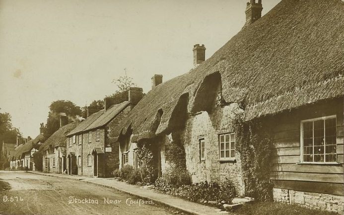
Stockton, Wiltshire

Stockton is a small village and civil parish in the Wylye Valley in Wiltshire, England, about 8 miles (13 km) southeast of Warminster. The parish includes...

Nearby Amenities

Located within 500m of 51.122973,-2.0310273
Roakham Bottom
Place: locality
Lat/Long: 51.1233104/-2.0293594
The data included in this document is from www.openstreetmap.org. The data is made available under ODbL.

Have you been to Roakham Bottom?

Leave your review of Roakham Bottom below (or comments, questions and feedback).