Egglers Dene
Valley in Northumberland
England
Egglers Dene
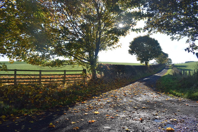
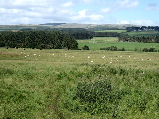
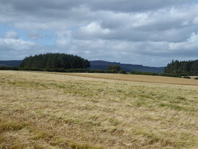
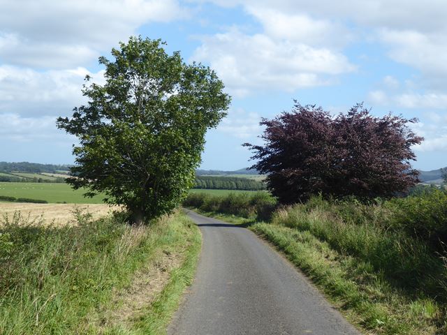
Egglers Dene is a picturesque valley located in Northumberland, a county in the northeast of England. It is nestled amidst the stunning landscapes of the North Pennines Area of Outstanding Natural Beauty. This enchanting valley is a hidden gem, offering visitors a tranquil retreat away from the bustling city life.
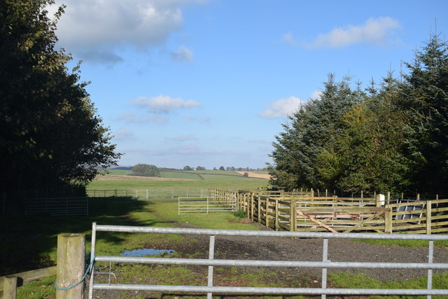
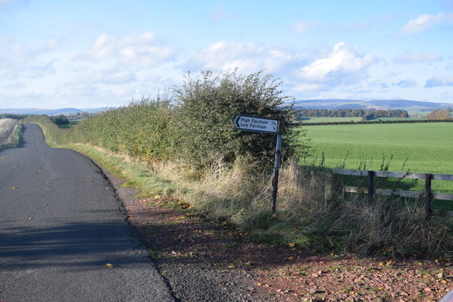
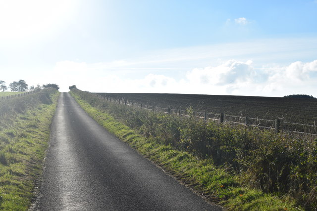
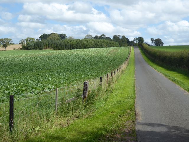
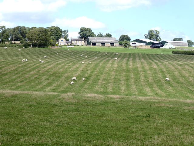
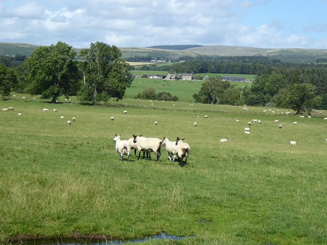
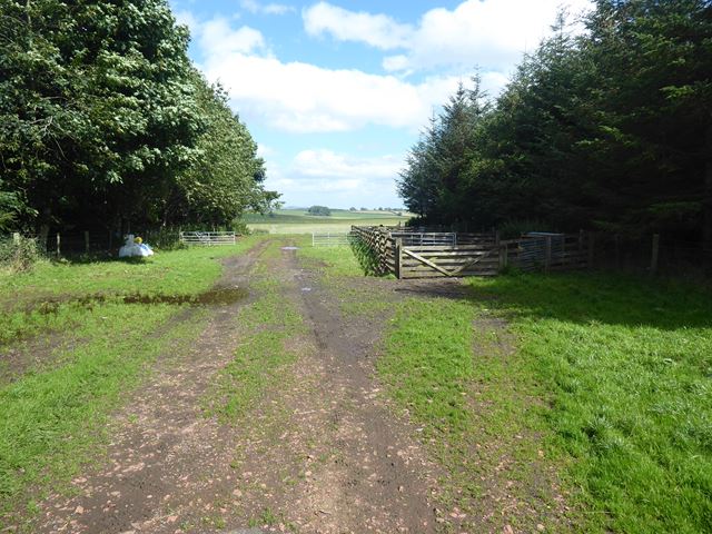
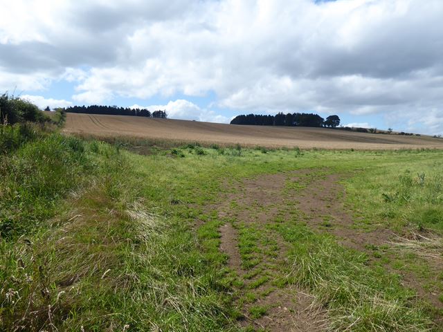
Egglers Dene is characterized by its lush green meadows, rolling hills, and dense woodland, making it a paradise for nature lovers and hikers. The valley is crisscrossed by a network of walking trails that meander through the countryside, providing visitors with breathtaking views of the surrounding scenery. The Dene is also home to a diverse range of wildlife, including rare bird species, making it a haven for birdwatchers and wildlife enthusiasts.
One of the notable features of Egglers Dene is the river that runs through it. The river adds to the charm of the valley, creating small cascades and tranquil pools along its course. Its clear waters attract anglers who can enjoy fishing for trout and salmon.
Visitors to Egglers Dene can explore the nearby historic sites, such as the ruins of medieval castles and ancient stone circles, which are testament to the area's rich heritage. The valley is also dotted with charming villages and traditional country pubs, where visitors can sample delicious local cuisine and experience the warm hospitality of the locals.
In summary, Egglers Dene in Northumberland is a scenic valley that offers visitors a peaceful retreat in the heart of nature. With its stunning landscapes, diverse wildlife, and rich history, it is a must-visit destination for those seeking a true taste of Northumberland's natural beauty.
If you have any feedback on the listing, please let us know in the comments section below.
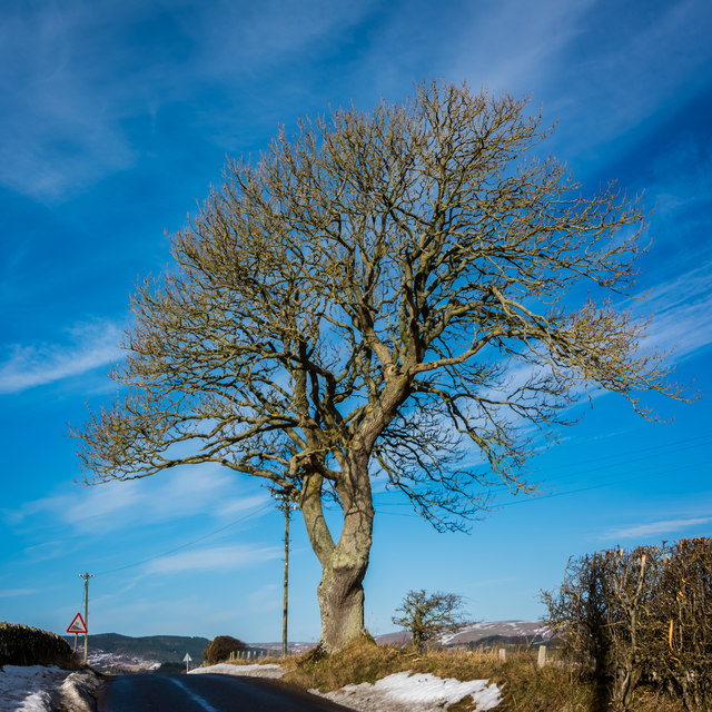
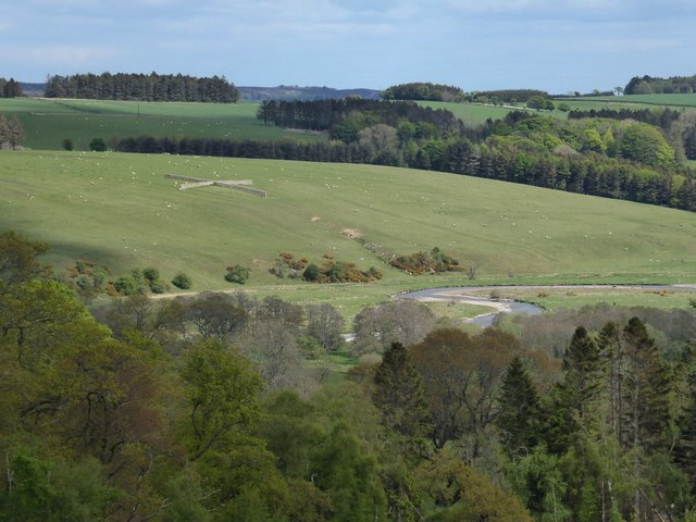
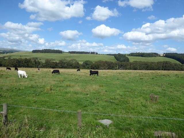
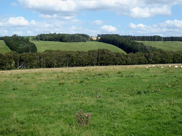
Egglers Dene Images
Images are sourced within 2km of 55.329018/-2.0341898 or Grid Reference NT9703. Thanks to Geograph Open Source API. All images are credited.

Egglers Dene is located at Grid Ref: NT9703 (Lat: 55.329018, Lng: -2.0341898)
Unitary Authority: Northumberland
Police Authority: Northumbria
What 3 Words
///torched.replayed.rafters. Near Rothbury, Northumberland
Nearby Locations
Related Wikis

Sharperton
Sharperton is a small settlement and former civil parish, now in the parish of Harbottle, in Northumberland, England. Sharperton is the site of a deserted...

Burradon, Northumberland
Burradon is a village and former civil parish, now in the parish of Netherton, in Northumberland, England. It is about 14 miles (23 km) to the south-west...

Holystone, Northumberland
Holystone is a small village and former civil parish, now in the parish of Harbottle, in Northumberland, England. It lies on the edge of (and just within...

Hepple
Hepple is a small village and parish in rural Northumberland, 4 miles (6.4 km) west of Rothbury, which provides most of its local services. It is on the...

Netherton, Northumberland
Netherton is a village and civil parish in the English county of Northumberland. The population of the village at the 2011 census was 185.Located 6+1⁄2...

Snitter
Snitter is a village and civil parish in Northumberland, England. It is near the Northumberland National Park. The closest town is Rothbury. == Governance... ==

Reivers Way
The Reivers Way is a long-distance footpath in Northumberland, passing through the Northumberland National Park and the Cheviot Hills. Totalling 242 kilometres...

Harbottle
Harbottle is a village and civil parish in Northumberland, England about 10 miles (16 km) south-east of the Scottish border, in the southeastern part of...
Nearby Amenities
Located within 500m of 55.329018,-2.0341898Have you been to Egglers Dene?
Leave your review of Egglers Dene below (or comments, questions and feedback).