Farnham Plantation

Wood, Forest in Northumberland

England

Farnham Plantation

Lane to High Farnham Taken from its junction with the road between Sharperton and Thropton.
Lane to High Farnham Credit: Trevor Harris

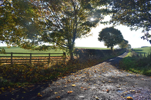
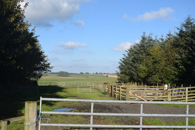
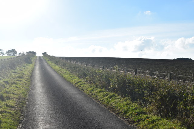
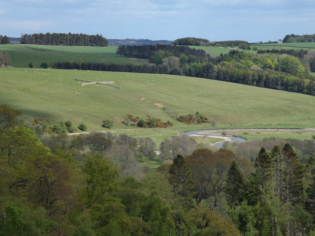
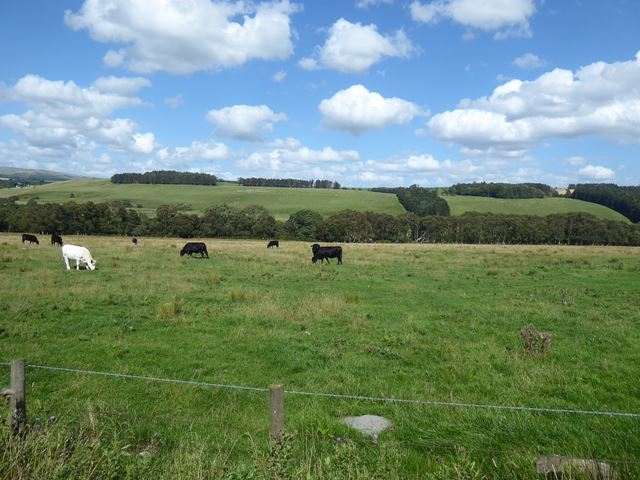
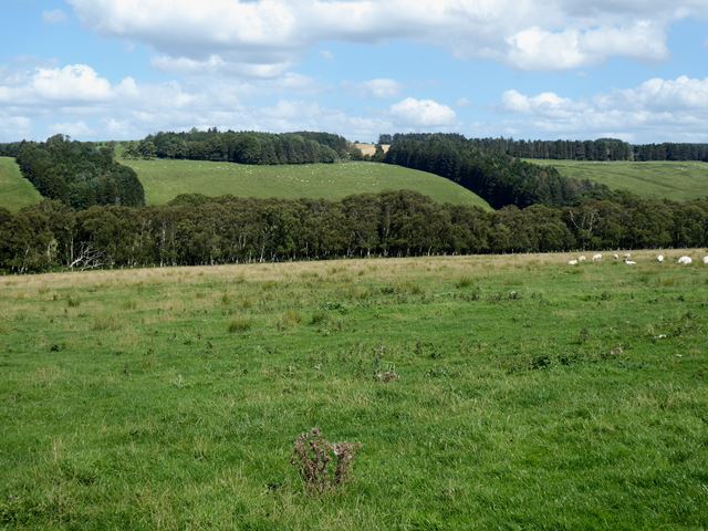
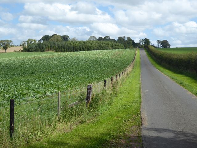
Farnham Plantation is a historic woodland area located in Northumberland, England. Covering approximately 500 acres, it is known for its picturesque beauty and rich biodiversity. Situated in the village of Farnham, the plantation is surrounded by charming countryside and offers a tranquil escape from the bustling city life.

The woodland is dominated by a variety of tree species, including oak, beech, and birch, which create a dense and vibrant forest canopy. These trees provide a habitat for numerous wildlife species, making Farnham Plantation a popular destination for nature enthusiasts and birdwatchers. Visitors can often spot woodland birds such as woodpeckers, jays, and tits.

The plantation features several well-maintained trails that wind through the woodland, offering visitors the opportunity to explore its natural beauty. These trails vary in difficulty, catering to both casual walkers and more experienced hikers. Along the paths, visitors can enjoy the sights and sounds of nature, including wildflowers, fungi, and the occasional glimpse of deer or foxes.

Farnham Plantation is also home to a variety of historical landmarks, including the remnants of an old ironworks. These remnants serve as a reminder of the area's industrial past, adding an extra layer of intrigue to the site.

Overall, Farnham Plantation is a cherished natural gem in Northumberland, offering a peaceful retreat for those seeking solace in the midst of nature.

If you have any feedback on the listing, please let us know in the comments section below.

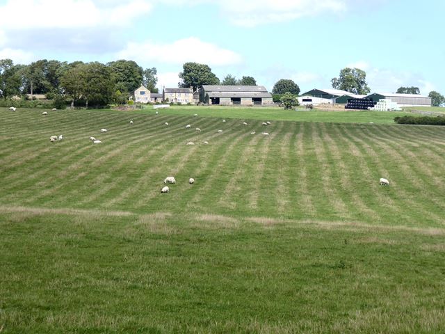
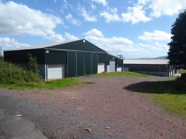
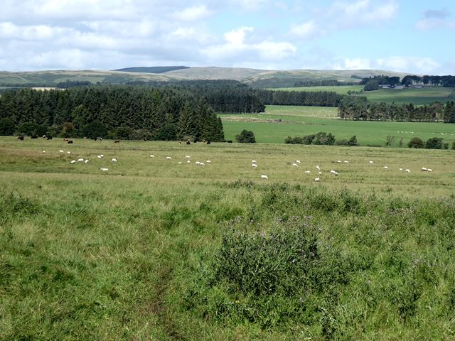
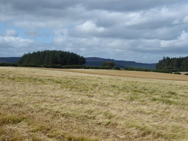
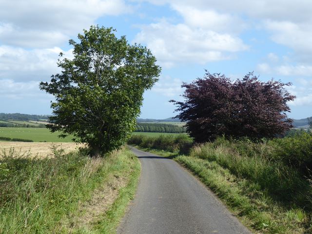
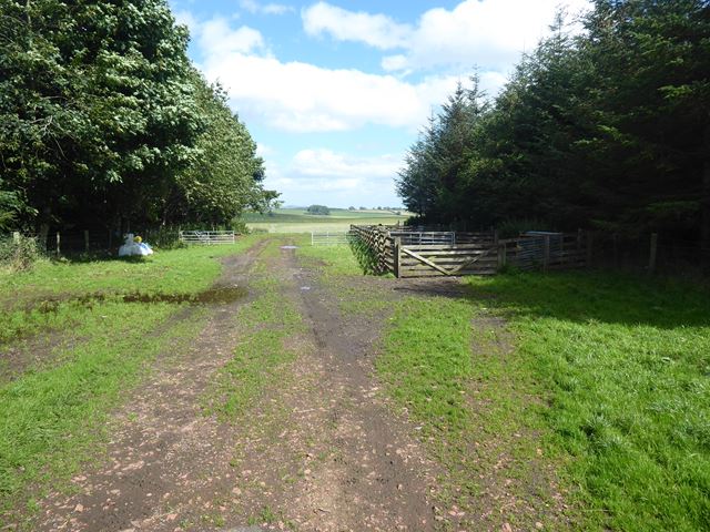
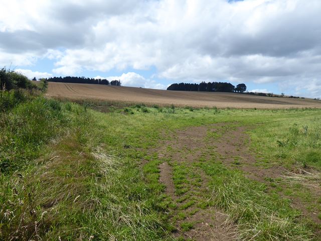
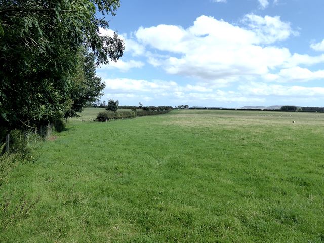
Farnham Plantation Images

Images are sourced within 2km of 55.325891/-2.0341555 or Grid Reference NT9703. Thanks to Geograph Open Source API. All images are credited.

Lane to High Farnham Taken from its junction with the road between Sharperton and Thropton.
Lane to High Farnham
Taken from its junction with the road between Sharperton and Thropton.
Gap in The Dog Leg Wood Animal pens occupy a gap in the plantation by the roadside.
Gap in The Dog Leg Wood
Animal pens occupy a gap in the plantation by the roadside.
Sign post to High and Low Farnham On the road between Sharperton and Thropton.
Sign post to High and Low Farnham
On the road between Sharperton and Thropton.
Lane to Low and High Farnham Running straight as a die between arable fields.
Lane to Low and High Farnham
Running straight as a die between arable fields.
Tree and snow covered field
Tree above Sharperton
Sheepfold in a pasture Sheepfolds are generally enclosures where the sheep can be held or processed. These crossed walls provide protection from the weather from any direction.
The River Coquet meanders in the valley.
Sheepfold in a pasture
Sheepfolds are generally enclosures where the sheep can be held or processed. These crossed walls provide protection from the weather from any direction. The River Coquet meanders in the valley.
Field with cattle in Coquetdale The River Coquet runs in the dip.
Field with cattle in Coquetdale
The River Coquet runs in the dip.
High Farnham Looking across Coquetdale; the River Coquet flows in the dip. It appears that High Farnham Farm in the top right hand corner of the field on the far side of the valley is no longer standing.
High Farnham
Looking across Coquetdale; the River Coquet flows in the dip. It appears that High Farnham Farm in the top right hand corner of the field on the far side of the valley is no longer standing.
The road to Charity Hall Farm Brassica field to the left.
The road to Charity Hall Farm
Brassica field to the left.
Field below Charity Hall Farm The farm itself is in <a href="https://www.geograph.org.uk/gridref/NY9604">NY9604</a>.
Field below Charity Hall Farm
The farm itself is in NY9604.
Modern barn at Charity Hall Farm
Northumbrian landscape Looking across the valleys of the Foxton Burn and Thackwell Burn towards the Cheviots.
Northumbrian landscape
Looking across the valleys of the Foxton Burn and Thackwell Burn towards the Cheviots.
Field near Low Farnham Farm The triangular wood to the left is curiously named "Postage Stamp".
Field near Low Farnham Farm
The triangular wood to the left is curiously named "Postage Stamp".
The road from Low Farnham
Gap in Dog Leg Wood Occupied by livestock pens.
Gap in Dog Leg Wood
Occupied by livestock pens.
Field below Rabbit Wood Postage Stamp Wood <a href="https://www.geograph.org.uk/gridref/NT9702">NT9702</a> is to the left.
Field below Rabbit Wood
Postage Stamp Wood NT9702 is to the left.
Farnham Moor Not a moor any longer, rather improved pasture. Farnham Wood to the right in the middle distance.
Farnham Moor
Not a moor any longer, rather improved pasture. Farnham Wood to the right in the middle distance.
Show me another place!

Farnham Plantation is located at Grid Ref: NT9703 (Lat: 55.325891, Lng: -2.0341555)

Unitary Authority: Northumberland

Police Authority: Northumbria

What 3 Words

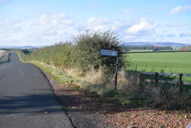
///animator.braced.short. Near Rothbury, Northumberland

Related Wikis

Sharperton

Sharperton is a small settlement and former civil parish, now in the parish of Harbottle, in Northumberland, England. Sharperton is the site of a deserted...

Holystone, Northumberland

Holystone is a small village and former civil parish, now in the parish of Harbottle, in Northumberland, England. It lies on the edge of (and just within...

Burradon, Northumberland

Burradon is a village and former civil parish, now in the parish of Netherton, in Northumberland, England. It is about 14 miles (23 km) to the south-west...

Hepple

Hepple is a small village and parish in rural Northumberland, 4 miles (6.4 km) west of Rothbury, which provides most of its local services. It is on the...

Nearby Amenities

Located within 500m of 55.325891,-2.0341555
Farnham Moor
Place: locality
Lat/Long: 55.3222462/-2.0332284
Ford: yes
Lat/Long: 55.3302769/-2.0327783
The data included in this document is from www.openstreetmap.org. The data is made available under ODbL.

Have you been to Farnham Plantation?

Leave your review of Farnham Plantation below (or comments, questions and feedback).