Farnham Moor
Downs, Moorland in Northumberland
England
Farnham Moor
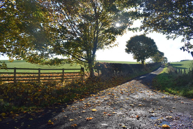
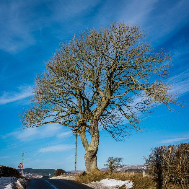
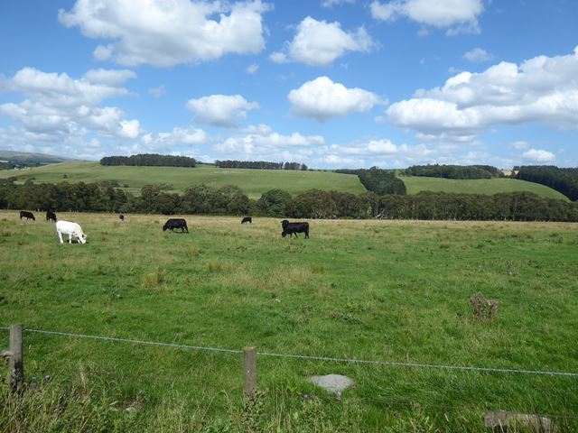
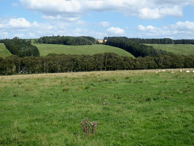
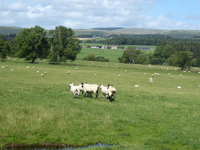
Farnham Moor, located in Northumberland, England, is a picturesque expanse of downs and moorland. Stretching across an area of approximately 10 square miles, the moor is characterized by its rolling hills, heather-covered landscapes, and a rich diversity of flora and fauna.
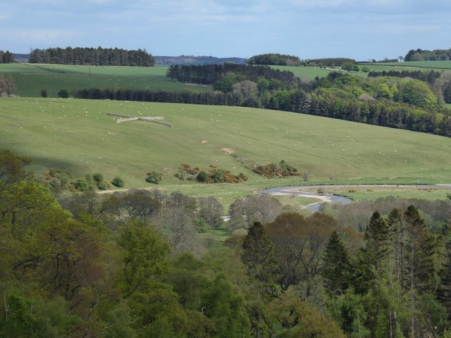
The moorland is part of the Northumberland National Park, which is known for its outstanding natural beauty and ecological importance. Visitors to Farnham Moor can expect breathtaking views of the surrounding countryside, with its dramatic valleys and rugged terrain.
The moor is home to a wide range of plant species, including heather, bilberry, and cotton grass, which create a vibrant and colorful tapestry across the landscape. It also provides a habitat for various wildlife, such as red grouse, curlews, and merlins, making it a popular destination for birdwatchers and nature enthusiasts.
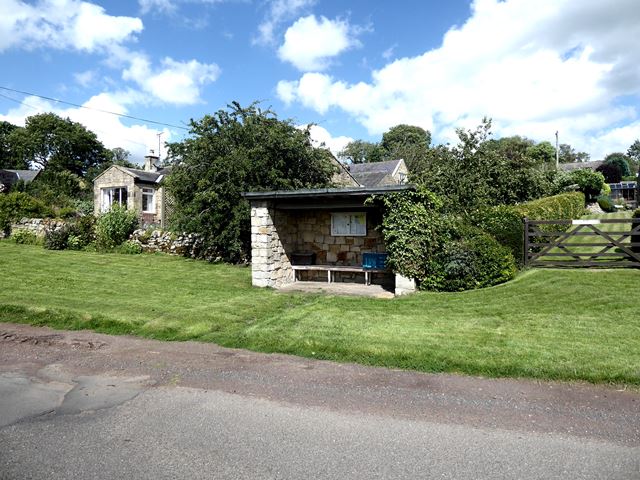
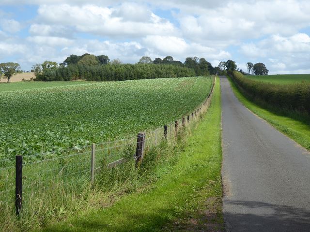
Farnham Moor offers a tranquil escape for those seeking solitude and a connection with nature. It is a haven for hikers and walkers, with numerous trails and footpaths crisscrossing the moor. These paths provide access to hidden gems, including ancient burial mounds, standing stones, and remnants of old settlements, offering a glimpse into the area's rich history.
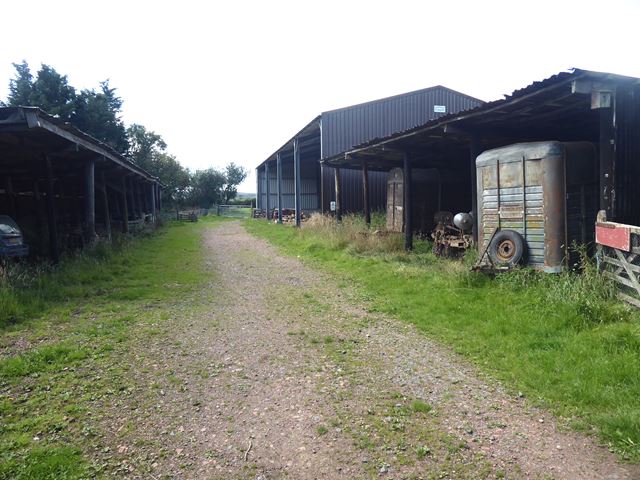
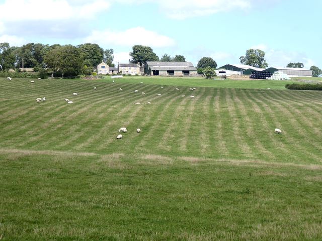
Visitors can also enjoy recreational activities such as picnicking, photography, and wildlife spotting. The moorland's vast open spaces create opportunities for outdoor pursuits like running, cycling, and horseback riding.
Overall, Farnham Moor in Northumberland is a captivating and diverse landscape that showcases the beauty of the British countryside and provides a sanctuary for both wildlife and humans alike.
If you have any feedback on the listing, please let us know in the comments section below.
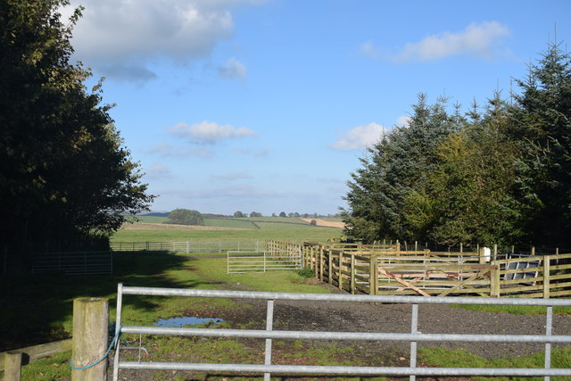
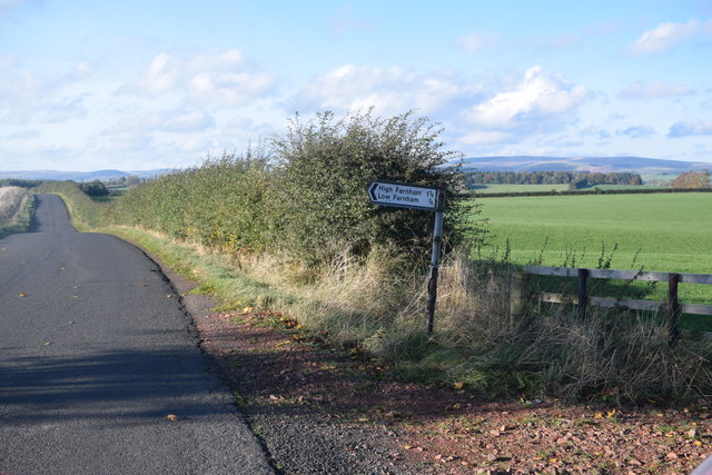
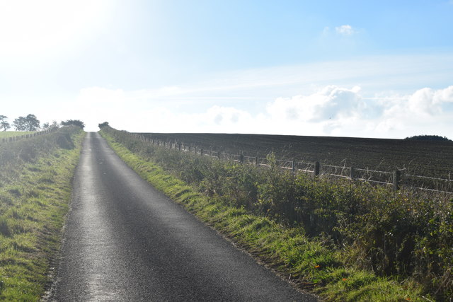
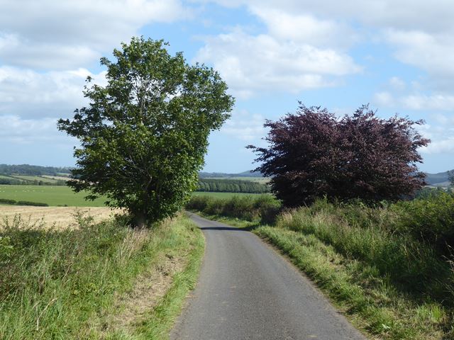
Farnham Moor Images
Images are sourced within 2km of 55.325638/-2.0385997 or Grid Reference NT9703. Thanks to Geograph Open Source API. All images are credited.

Farnham Moor is located at Grid Ref: NT9703 (Lat: 55.325638, Lng: -2.0385997)
Unitary Authority: Northumberland
Police Authority: Northumbria
What 3 Words
///composed.curly.owes. Near Rothbury, Northumberland
Nearby Locations
Related Wikis

Sharperton
Sharperton is a small settlement and former civil parish, now in the parish of Harbottle, in Northumberland, England. Sharperton is the site of a deserted...

Holystone, Northumberland
Holystone is a small village and former civil parish, now in the parish of Harbottle, in Northumberland, England. It lies on the edge of (and just within...

Hepple
Hepple is a small village and parish in rural Northumberland, 4 miles (6.4 km) west of Rothbury, which provides most of its local services. It is on the...

Burradon, Northumberland
Burradon is a village and former civil parish, now in the parish of Netherton, in Northumberland, England. It is about 14 miles (23 km) to the south-west...

Netherton, Northumberland
Netherton is a village and civil parish in the English county of Northumberland. The population of the village at the 2011 census was 185.Located 6+1⁄2...

Reivers Way
The Reivers Way is a long-distance footpath in Northumberland, passing through the Northumberland National Park and the Cheviot Hills. Totalling 242 kilometres...

Harbottle
Harbottle is a village and civil parish in Northumberland, England about 10 miles (16 km) south-east of the Scottish border, in the southeastern part of...

Harbottle Castle
Harbottle Castle is a ruined medieval castle situated at the west end of the village of Harbottle, Northumberland, England, 9 miles (14 km) west-north...
Have you been to Farnham Moor?
Leave your review of Farnham Moor below (or comments, questions and feedback).