Dixton Wood

Wood, Forest in Gloucestershire Tewkesbury

England

Dixton Wood

Farming near Gotherington Raking and baling is taking place on a hillside field.
Farming near Gotherington Credit: Gareth James

Dixton Wood is a picturesque woodland located in the county of Gloucestershire, England. This ancient forest covers an area of approximately 100 acres and is situated near the town of Monmouth, just across the border in Wales.

Dixton Wood is known for its diverse range of flora and fauna, making it a popular destination for nature enthusiasts and wildlife lovers. The woodland is predominantly composed of deciduous trees, including oak, beech, and ash, which create a beautiful and vibrant canopy during the spring and summer months. The forest floor is covered in a carpet of bluebells and wildflowers, adding to the charm and natural beauty of the area.

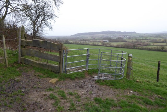
The wood is crisscrossed with a network of well-maintained footpaths, allowing visitors to explore the peaceful surroundings and discover the hidden gems within the forest. There are also designated areas for picnicking and wildlife spotting, making it an ideal place for families and outdoor enthusiasts.

Dixton Wood is home to a variety of wildlife, including deer, badgers, and a wide array of bird species. Nature lovers can often spot woodpeckers, tawny owls, and buzzards soaring above the treetops. The woodland provides a sanctuary for these animals, offering a safe habitat away from the hustle and bustle of human civilization.

Overall, Dixton Wood is a tranquil and enchanting forest, offering visitors a chance to escape the stresses of modern life and immerse themselves in the wonders of nature. Whether it's a leisurely walk or a wildlife adventure, this ancient woodland has something to offer for everyone.

If you have any feedback on the listing, please let us know in the comments section below.
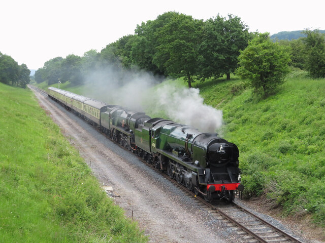
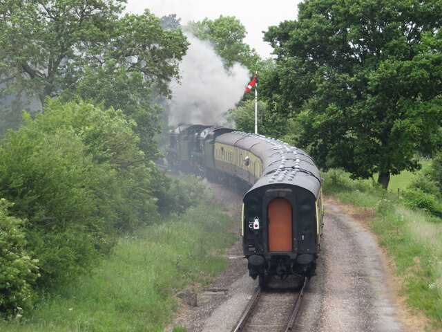
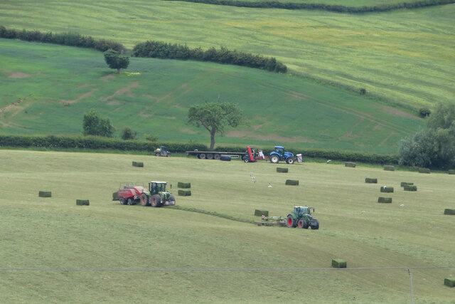
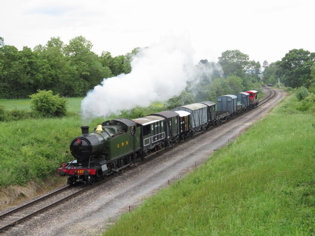
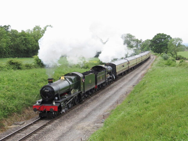
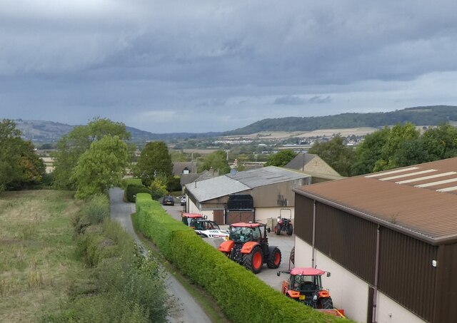
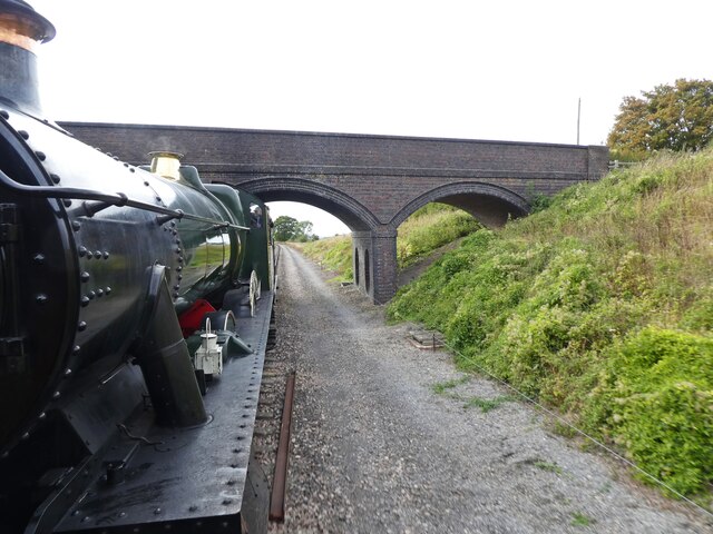
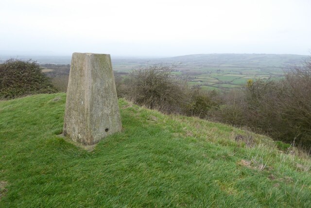
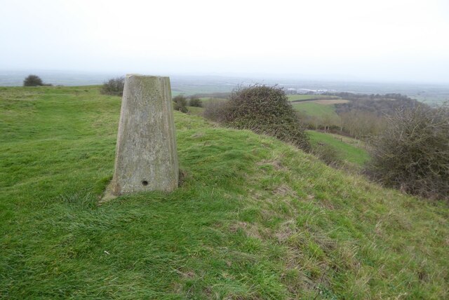
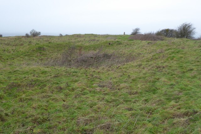
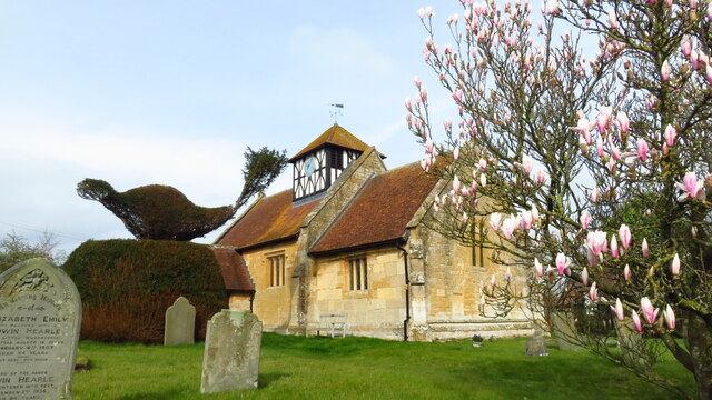
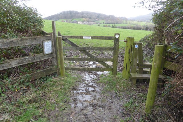
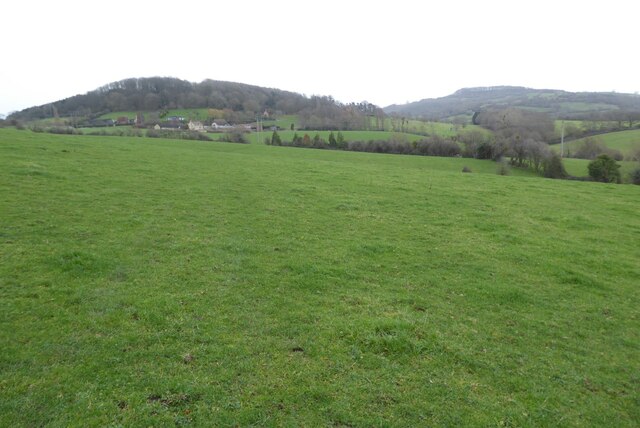
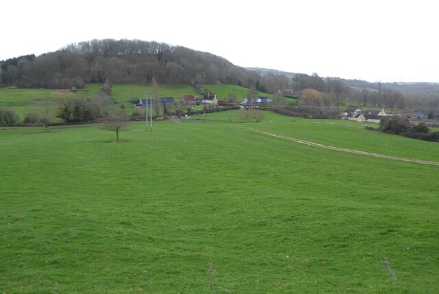
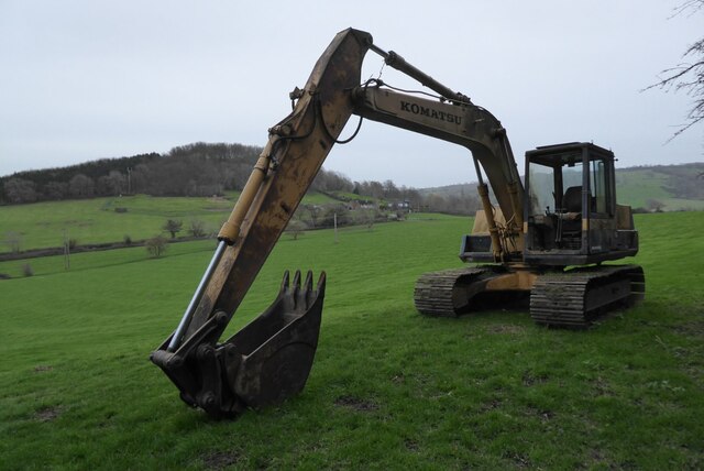
Dixton Wood Images

Images are sourced within 2km of 51.980706/-2.0311992 or Grid Reference SO9731. Thanks to Geograph Open Source API. All images are credited.

Farming near Gotherington Raking and baling is taking place on a hillside field.
Farming near Gotherington
Raking and baling is taking place on a hillside field.
Double-headed Bulleids in Dixton Cutting Bulleid Pacific locomotives - visitor No. 34028 Eddystone and home-fleet No. 35006 Peninsular & Oriental SN Co. - double-head a Toddington to Cheltenham Racecourse train through Dixton Cutting during the Gloucestershire Warwickshire Railway's Cotswold Festival of Steam: S&D Remembered gala.
Double-headed Bulleids in Dixton Cutting
Bulleid Pacific locomotives - visitor No. 34028 Eddystone and home-fleet No. 35006 Peninsular & Oriental SN Co. - double-head a Toddington to Cheltenham Racecourse train through Dixton Cutting during the Gloucestershire Warwickshire Railway's Cotswold Festival of Steam: S&D Remembered gala.
Tail lamp Bulleid Pacific locomotives - visitor No. 34028 Eddystone and home-fleet No. 35006 Peninsular & Oriental SN Co. - double-head a Toddington to Cheltenham Racecourse train towards Gotherington station during the Gloucestershire Warwickshire Railway's Cotswold Festival of Steam: S&D Remembered gala.
Tail lamp
Bulleid Pacific locomotives - visitor No. 34028 Eddystone and home-fleet No. 35006 Peninsular & Oriental SN Co. - double-head a Toddington to Cheltenham Racecourse train towards Gotherington station during the Gloucestershire Warwickshire Railway's Cotswold Festival of Steam: S&D Remembered gala.
Farming near Gotherington Raking and baling are in operation on a hillside field near Gotherington.
Farming near Gotherington
Raking and baling are in operation on a hillside field near Gotherington.
GW 2-8-0T near Gotherington Great Western 2-8-0T No. 4270 heads north away from Gotherington with a goods train during the Gloucestershire Warwickshire Railway's Cotswold Festival of Steam gala.
GW 2-8-0T near Gotherington
Great Western 2-8-0T No. 4270 heads north away from Gotherington with a goods train during the Gloucestershire Warwickshire Railway's Cotswold Festival of Steam gala.
Double-headed 4-6-0s near Gotherington Ex-Great Western 4-6-0 locomotives - Modified Hall No. 7903 Foremarke Hall and Manor No. 7820 Dinmore Manor - double-head a northbound train away from Gotherington during the Gloucestershire Warwickshire Railway's Cotswold Festival of Steam gala.
Double-headed 4-6-0s near Gotherington
Ex-Great Western 4-6-0 locomotives - Modified Hall No. 7903 Foremarke Hall and Manor No. 7820 Dinmore Manor - double-head a northbound train away from Gotherington during the Gloucestershire Warwickshire Railway's Cotswold Festival of Steam gala.
Far Stanley
Far Stanley
Approaching the overbridge on Alstone Lane
Trig point on Oxenton Hill View towards Bredon Hill, the largest of the Cotswolds outliers, from the trig point on Oxenton Hill.  This picture was taken soon after midday on New Year's Day.  Not such a good day weather-wise compared to when I visited this hill top almost fifteen years ago <a href="https://www.geograph.org.uk/photo/713326">SO9731 : Trig Point on Oxenton Hill</a>.
Trig point on Oxenton Hill
View towards Bredon Hill, the largest of the Cotswolds outliers, from the trig point on Oxenton Hill. This picture was taken soon after midday on New Year's Day. Not such a good day weather-wise compared to when I visited this hill top almost fifteen years ago SO9731 : Trig Point on Oxenton Hill.
Trig Point on Oxenton Hill View from the trig point on Oxenton Hill; the Malvern Hills are just visible on the hazy horizon.  Not such a good day weather-wise compared to when I visited this hill top almost fifteen years ago <a href="https://www.geograph.org.uk/photo/713326">SO9731 : Trig Point on Oxenton Hill</a>.
Trig Point on Oxenton Hill
View from the trig point on Oxenton Hill; the Malvern Hills are just visible on the hazy horizon. Not such a good day weather-wise compared to when I visited this hill top almost fifteen years ago SO9731 : Trig Point on Oxenton Hill.
The Knolls, Oxenton Hill The summit of Oxenton Hill is known as the Knolls and is the site of an Iron Age settlement rather than a hill fort. The site was excavated in 1932 and some Iron Age pottery was found.  The trig point can be seen on the horizon to the right. 
 This is an approximate recreation of the first picture uploaded in this grid square <a href="https://www.geograph.org.uk/photo/247709">SO9731 : The top of  Oxenton Hill</a>.
The Knolls, Oxenton Hill
The summit of Oxenton Hill is known as the Knolls and is the site of an Iron Age settlement rather than a hill fort. The site was excavated in 1932 and some Iron Age pottery was found. The trig point can be seen on the horizon to the right. This is an approximate recreation of the first picture uploaded in this grid square SO9731 : The top of Oxenton Hill.
Alstone - St Margaret's Church
Stile and gate on the Gloucestershire Way Stile and gate on the Gloucestershire Way approaching Dixton.  Diston Hill can be seen in the background.
Stile and gate on the Gloucestershire Way
Stile and gate on the Gloucestershire Way approaching Dixton. Diston Hill can be seen in the background.
Gloucestershire Way approaching Dixton Gloucestershire Way crossing a field as it approaches Dixton and Dixton Hill.  Langley Hill can be seen on the right in the background.
Gloucestershire Way approaching Dixton
Gloucestershire Way crossing a field as it approaches Dixton and Dixton Hill. Langley Hill can be seen on the right in the background.
Dixton Hill View of the hamlet of Dixton and Dixton Hill from the Winchcombe Way.
Dixton Hill
View of the hamlet of Dixton and Dixton Hill from the Winchcombe Way.
Komatsu excavator Komatsu excavator beside the Winchcombe Way.  The hamlet of Dixton is framed with the excavator's boom and arm.
Komatsu excavator
Komatsu excavator beside the Winchcombe Way. The hamlet of Dixton is framed with the excavator's boom and arm.
Footpath and kissing gate Footpath and kissing gate on the Winchcombe Way on the eastern slopes of Oxenton Hill.  It has changed since I last passed this way almost 15 years ago <a href="https://www.geograph.org.uk/photo/716656">SO9831 : Kissing gate and quad bike grid, near Alstone</a>.
Footpath and kissing gate
Footpath and kissing gate on the Winchcombe Way on the eastern slopes of Oxenton Hill. It has changed since I last passed this way almost 15 years ago SO9831 : Kissing gate and quad bike grid, near Alstone.
Stained glass window - Alstone church The upper stained glass figure is thought possibly to be the Archangel Gabriel holding a lily in an Annunciation scene, this is thought to be 16th century.  The lower glass is thought to be 15th century and possibly represents St Gregory, though it could also represent a Biblical Patriarch, a Prophet or even God the Father personified as the Pope.  The stained glass in the lower window may be the work of John Thornton of Coventry and date from the 15th century.
Stained glass window - Alstone church
The upper stained glass figure is thought possibly to be the Archangel Gabriel holding a lily in an Annunciation scene, this is thought to be 16th century. The lower glass is thought to be 15th century and possibly represents St Gregory, though it could also represent a Biblical Patriarch, a Prophet or even God the Father personified as the Pope. The stained glass in the lower window may be the work of John Thornton of Coventry and date from the 15th century.
Show me another place!

Dixton Wood is located at Grid Ref: SO9731 (Lat: 51.980706, Lng: -2.0311992)

Administrative County: Gloucestershire

District: Tewkesbury

Police Authority: Gloucestershire

What 3 Words

///owns.mango.regarding. Near Bishops Cleeve, Gloucestershire

Related Wikis

Dixton Wood

Dixton Wood (grid reference SO979313) is a 13.14-hectare (32.5-acre) biological Site of Special Scientific Interest in Gloucestershire, notified in 2000...

Dixton Manor

Dixton Manor is a Grade II*-listed 16th-century manor house in the south of Alderton parish, Gloucestershire, England. The manor was built for John Higford...

Alstone, Tewkesbury

Alstone is a village and former civil parish, now in the parish of Teddington, in the Tewkesbury district, in the county of Gloucestershire, England, situated...

Bengrove

Bengrove is a village in Gloucestershire, England. It lies between Teddington and Alstone. Bengrove, Teddington and Alstone now lie in the Anglican Diocese...

Nearby Amenities

Located within 500m of 51.980706,-2.0311992
Barrier: kissing_gate
Lat/Long: 51.9784295/-2.0292809
Material: wood
Power: pole
Lat/Long: 51.9768327/-2.0279356
Material: wood
Power: pole
Lat/Long: 51.9773393/-2.0269703
Material: wood
Power: pole
Lat/Long: 51.9780044/-2.0257162
The data included in this document is from www.openstreetmap.org. The data is made available under ODbL.

Have you been to Dixton Wood?

Leave your review of Dixton Wood below (or comments, questions and feedback).