High Ditch Copse

Wood, Forest in Dorset

England

High Ditch Copse

Ford At Corfe Mullen The ford at Corfe Mullen is secured by a locked pair of gates.
Ford At Corfe Mullen Credit: John Walton

High Ditch Copse is a picturesque wood located in the county of Dorset, England. Covering an area of approximately 50 acres, this forest is a natural haven for wildlife and a popular destination for nature enthusiasts and hikers alike.

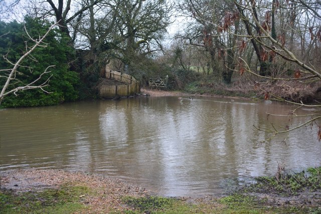
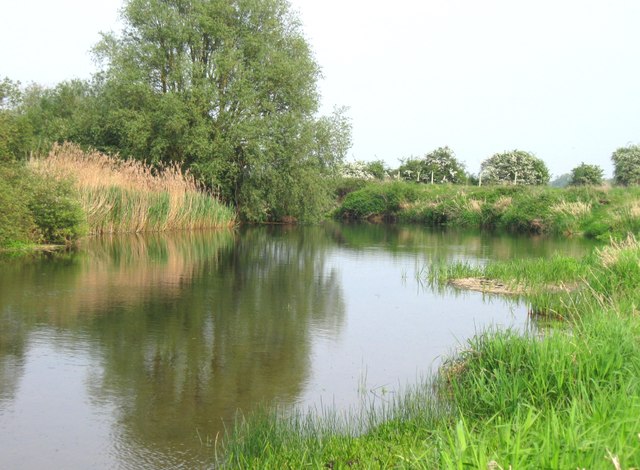
The copse is primarily composed of a mix of deciduous and coniferous trees, including oak, beech, and pine. These trees create a dense canopy that provides shade and shelter for a variety of plant and animal species. The forest floor is carpeted with lush vegetation, including ferns, bluebells, and wildflowers, creating a vibrant and colorful landscape.

As visitors explore High Ditch Copse, they can expect to encounter a diverse range of wildlife. The wood is home to a rich array of bird species, including woodpeckers, owls, and various songbirds. Squirrels scurry through the treetops, while rabbits and deer can often be spotted grazing in the glades. In the early morning or late evening, it is not uncommon to hear the haunting call of a distant fox echoing through the trees.

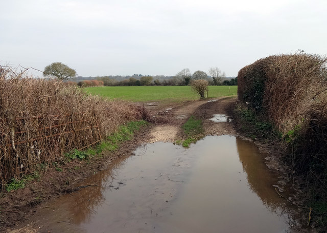
Tranquility and serenity are defining characteristics of High Ditch Copse. The peaceful atmosphere is enhanced by the gentle rustling of leaves in the wind and the occasional babbling of a nearby stream. There are several well-maintained walking trails that wind through the forest, allowing visitors to fully immerse themselves in its natural beauty.

Overall, High Ditch Copse is a stunning woodland retreat, offering a captivating blend of scenic beauty and biodiversity. Whether it is for a leisurely walk, birdwatching, or simply enjoying the therapeutic ambiance, this forest is a must-visit destination for nature enthusiasts in Dorset.

If you have any feedback on the listing, please let us know in the comments section below.

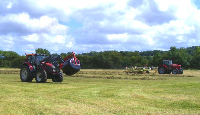
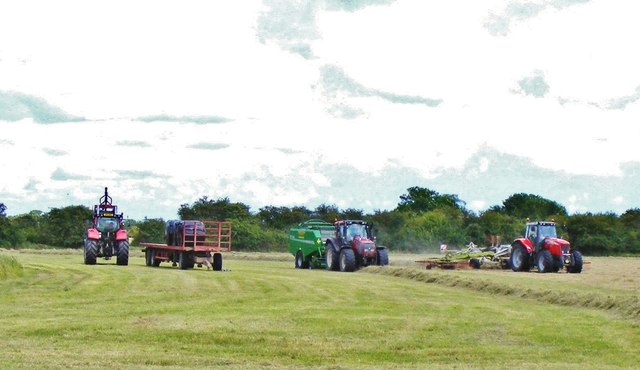
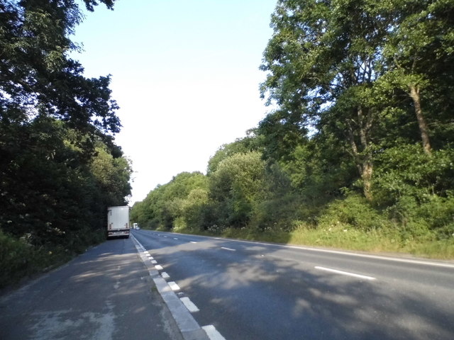
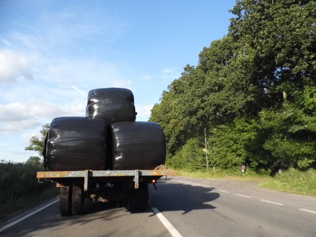
High Ditch Copse Images

Images are sourced within 2km of 50.779422/-2.0303294 or Grid Reference SY9797. Thanks to Geograph Open Source API. All images are credited.

Ford At Corfe Mullen The ford at Corfe Mullen is secured by a locked pair of gates.
Ford At Corfe Mullen
The ford at Corfe Mullen is secured by a locked pair of gates.
Remains of the Somerset & Dorset Joint Railway The site of Corfe Mullen Junction, with some old crossing gates and an (extended) crossing keeper / signalman's house.
Remains of the Somerset & Dorset Joint Railway
The site of Corfe Mullen Junction, with some old crossing gates and an (extended) crossing keeper / signalman's house.
Entrance to farmland by the River Stour Rather a wet entrance to fields on the north side of the River Stour between Cowgrove and Shapwick.
Entrance to farmland by the River Stour
Rather a wet entrance to fields on the north side of the River Stour between Cowgrove and Shapwick.
Beautiful stretch of the Dorset Stour Taken on the South side of the river, on the Bear Mead nature reserve, near Cowgrove.
Beautiful stretch of the Dorset Stour
Taken on the South side of the river, on the Bear Mead nature reserve, near Cowgrove.
Cutting the hay at Bear Mead nature reserve, near Cowgrove
Hay cutting at Bear Mead nature reserve One of the amazing machines that cut the hay and gather it into long piles to be subsequently picked up and baled.
Hay cutting at Bear Mead nature reserve
One of the amazing machines that cut the hay and gather it into long piles to be subsequently picked up and baled.
Loading the baled and wrapped hay, ready for removal Mid-summer hay cutting at Bear Mead nature reserve
Loading the baled and wrapped hay, ready for removal
Mid-summer hay cutting at Bear Mead nature reserve
The incredible baling machine at Bear Mead nature reserve The machine scoops up the pre-cut silage and forms it into bales, then wraps it in plastic before disgorging it onto the field to await collection.
The incredible baling machine at Bear Mead nature reserve
The machine scoops up the pre-cut silage and forms it into bales, then wraps it in plastic before disgorging it onto the field to await collection.
Hay cutting at Bear Mead nature reserve One machine still cutting the grass whilst another carries away the wrapped bales to be loaded and transported.
Hay cutting at Bear Mead nature reserve
One machine still cutting the grass whilst another carries away the wrapped bales to be loaded and transported.
Hay cutting at Bear Mead nature reserve Continuous operation. Cutting of the grass and forming long lines ready for the next machine to scoop it up, form it into round bales and wrap it in plastic. It then dumps it out of the back end ready for the third machine to collect and lift it onto the flat bed trailer for subsequent transportation.
Hay cutting at Bear Mead nature reserve
Continuous operation. Cutting of the grass and forming long lines ready for the next machine to scoop it up, form it into round bales and wrap it in plastic. It then dumps it out of the back end ready for the third machine to collect and lift it onto the flat bed trailer for subsequent transportation.
Corfe Mullen, timber Softwood logs awaiting collection in Stony Down Plantation.
Corfe Mullen, timber
Softwood logs awaiting collection in Stony Down Plantation.
Corfe Mullen, bridleway Across Stony Down Plantation, from Rushall Lane to Old Market Road.
Corfe Mullen, bridleway
Across Stony Down Plantation, from Rushall Lane to Old Market Road.
Corfe Mullen, plantation Stony Down Plantation - conifers with patches of hardwood.
Corfe Mullen, plantation
Stony Down Plantation - conifers with patches of hardwood.
Corfe Mullen, track junction From camera and ahead, the bridleway to Old Market Road; left and right, tracks belonging to a local camping business. Upgrading of the tracks seems to have caused local controversy: <span class="nowrap"><a title="https://susanjefferies.mycouncillor.org.uk/2015/10/16/stoney-down-plantation/" rel="nofollow ugc noopener" href="https://susanjefferies.mycouncillor.org.uk/2015/10/16/stoney-down-plantation/">Link</a><img style="margin-left:2px;" alt="External link" title="External link - shift click to open in new window" src="https://s1.geograph.org.uk/img/external.png" width="10" height="10"/></span>
Corfe Mullen, track junction
From camera and ahead, the bridleway to Old Market Road; left and right, tracks belonging to a local camping business. Upgrading of the tracks seems to have caused local controversy: LinkExternal link
Corfe Mullen, power lines Crossing Stony Down Plantation.
Corfe Mullen, power lines
Crossing Stony Down Plantation.
Corfe Mullen, bridleway Through Stony Down Plantation, from Rushall Lane to Old Market Road.
Corfe Mullen, bridleway
Through Stony Down Plantation, from Rushall Lane to Old Market Road.
Layby on the A31, Sleight
Bale carrier on the A31, Sleight
Show me another place!

High Ditch Copse is located at Grid Ref: SY9797 (Lat: 50.779422, Lng: -2.0303294)

Unitary Authority: Dorset

Police Authority: Dorset

What 3 Words

///active.mixing.version. Near Wimborne Minster, Dorset

Related Wikis

Castle Court School

Castle Court School is a co-educational, preparatory school located near the village of Corfe Mullen in the county of Dorset, England. == Location == Castle...

St. Hubert's Church, Corfe Mullen

St Hubert's Church is a 13th-century Church of England parish church in Corfe Mullen, a district of Wimborne, in the ceremonial county of Dorset, on the...

Corfe Mullen

Corfe Mullen is a village in Dorset, England, on the north-western urban fringe of the South East Dorset conurbation. The community had a population of...

Corfe Mullen Halt railway station

Corfe Mullen Halt was a station in the English county of Dorset. It was located between Bailey Gate and Broadstone stations on the Somerset and Dorset...

Stoney Down

Stoney Down or Stony Down is both a hill and an area of forested countryside in the county of Dorset, England, that has been designated an "Area of Great...

Corfe Barrows Nature Park

Corfe Barrows Nature Park comprises around nine natural areas, covering an area of 90 hectares, within the Borough of Poole that are being managed for...

Corfe Hills School

Corfe Hills School is a co-educational upper school in Broadstone, Poole, Dorset, England, in the urban fringe between Poole and Wimborne. The school became...

Henbury, Dorset

Henbury is a hamlet in the civil parish of Sturminster Marshall in Dorset, England. It lies on the A31 road. Henbury House is a classical Georgian house...

Nearby Amenities

Located within 500m of 50.779422,-2.0303294
Knoll Farm
Place: farm
Source Name: OS_OpenData_StreetView
Lat/Long: 50.7774042/-2.0311359
Sleight
Place: locality
Source Name: OS_OpenData_StreetView
Lat/Long: 50.7820897/-2.0256272
Barrier: kissing_gate
Foot: yes
Lat/Long: 50.7771105/-2.0342087
The data included in this document is from www.openstreetmap.org. The data is made available under ODbL.

Have you been to High Ditch Copse?

Leave your review of High Ditch Copse below (or comments, questions and feedback).