Setting Copse

Wood, Forest in Wiltshire

England

Setting Copse

A303, westbound The A303 is a main trunk road running 92 miles between Basingstoke and Honiton. Along with the A30 and M3 it forms a major route between London and the South West. Much of the road is dual carriageway, but some stretches remain single and prone to congestion.

Wikipedia: <span class="nowrap"><a title="http://en.wikipedia.org/wiki/A303_road" rel="nofollow ugc noopener" href="http://en.wikipedia.org/wiki/A303_road">Link</a><img style="margin-left:2px;" alt="External link" title="External link - shift click to open in new window" src="https://s1.geograph.org.uk/img/external.png" width="10" height="10"/></span>
A303, westbound Credit: N Chadwick

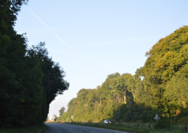
Setting Copse is a picturesque woodland situated in the county of Wiltshire, England. Spanning over 50 acres, this enchanting forest offers a serene and tranquil escape from the hustle and bustle of everyday life.

The copse is characterized by its densely packed trees, predominantly consisting of oak, beech, and birch. These majestic trees create a dense canopy, providing shade and shelter for the diverse ecosystem that thrives within the woodland. The forest floor is adorned with a rich tapestry of ferns, wildflowers, and mosses, adding to the natural beauty and biodiversity of the area.

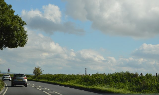
A network of well-maintained footpaths and trails crisscrosses the copse, allowing visitors to explore its hidden treasures. As one traverses the paths, they may stumble upon charming babbling brooks, small ponds, and even a quaint wooden bridge that spans a crystal-clear stream.

Setting Copse is a haven for wildlife enthusiasts, as it is home to a myriad of species. Birdsong fills the air, as woodpeckers, owls, and thrushes make their homes within the forest. Squirrels can be spotted gracefully leaping from branch to branch, while foxes and deer occasionally emerge from the thick undergrowth.

The copse is a popular destination for nature lovers, walkers, and photographers alike. Its unspoiled beauty and tranquil atmosphere make it an ideal location for those seeking solace in nature. Whether exploring the woodland's winding paths, admiring the vibrant colors of autumn, or simply enjoying a peaceful picnic amidst the trees, Setting Copse is a true gem in the heart of Wiltshire.

If you have any feedback on the listing, please let us know in the comments section below.

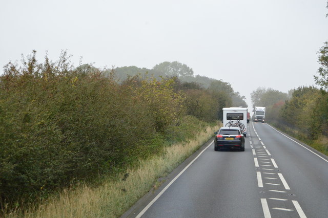
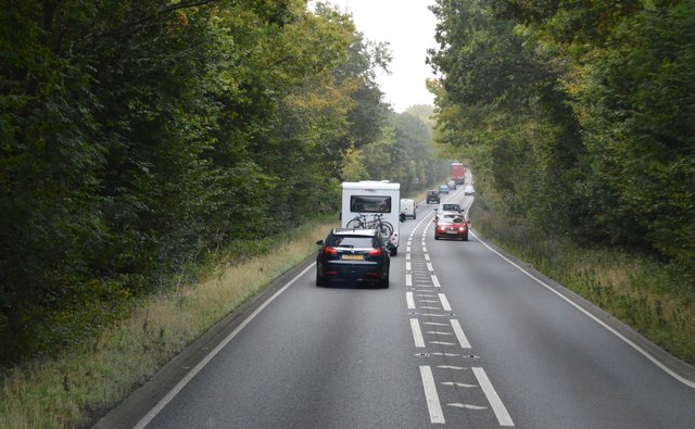
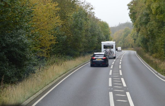
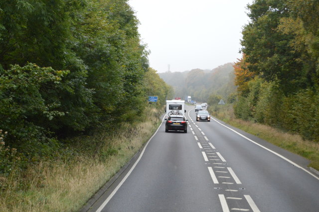
Setting Copse Images

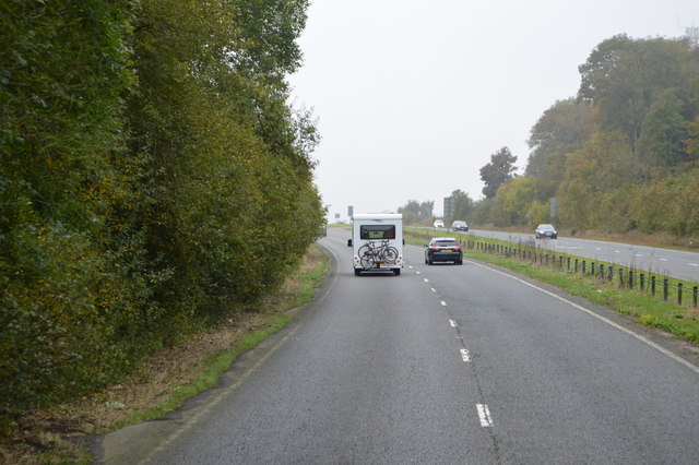
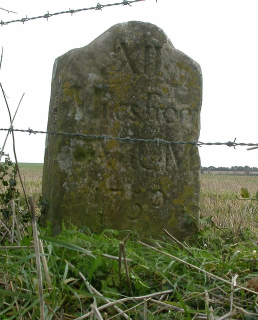
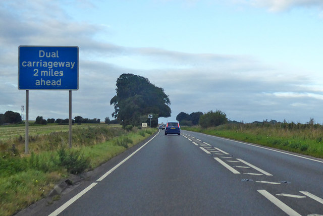
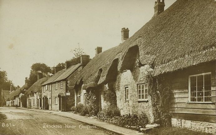
Images are sourced within 2km of 51.118916/-2.0368538 or Grid Reference ST9735. Thanks to Geograph Open Source API. All images are credited.

A303, westbound The A303 is a main trunk road running 92 miles between Basingstoke and Honiton. Along with the A30 and M3 it forms a major route between London and the South West. Much of the road is dual carriageway, but some stretches remain single and prone to congestion.

Wikipedia: <span class="nowrap"><a title="http://en.wikipedia.org/wiki/A303_road" rel="nofollow ugc noopener" href="http://en.wikipedia.org/wiki/A303_road">Link</a><img style="margin-left:2px;" alt="External link" title="External link - shift click to open in new window" src="https://s1.geograph.org.uk/img/external.png" width="10" height="10"/></span>
A303, westbound
The A303 is a main trunk road running 92 miles between Basingstoke and Honiton. Along with the A30 and M3 it forms a major route between London and the South West. Much of the road is dual carriageway, but some stretches remain single and prone to congestion. Wikipedia: LinkExternal link
Telecom Mast by A303
Signs by the A303
Signs by the A303
A303, dual carriageway ending The A303 is a main trunk road running 92 miles between Basingstoke and Honiton. Along with the A30 and M3 it forms a major route between London and the South West. Much of the road is dual carriageway, but some stretches remain single and prone to congestion.

Wikipedia: <span class="nowrap"><a title="http://en.wikipedia.org/wiki/A303_road" rel="nofollow ugc noopener" href="http://en.wikipedia.org/wiki/A303_road">Link</a><img style="margin-left:2px;" alt="External link" title="External link - shift click to open in new window" src="https://s1.geograph.org.uk/img/external.png" width="10" height="10"/></span>
A303, dual carriageway ending
The A303 is a main trunk road running 92 miles between Basingstoke and Honiton. Along with the A30 and M3 it forms a major route between London and the South West. Much of the road is dual carriageway, but some stretches remain single and prone to congestion. Wikipedia: LinkExternal link
Copse by the A303
Copse by the A303
A303 The A303 is a main trunk road running 92 miles between Basingstoke and Honiton. Along with the A30 and M3 it forms a major route between London and the South West. Much of the road is dual carriageway, but some stretches remain single and prone to congestion.

Wikipedia: <span class="nowrap"><a title="http://en.wikipedia.org/wiki/A303_road" rel="nofollow ugc noopener" href="http://en.wikipedia.org/wiki/A303_road">Link</a><img style="margin-left:2px;" alt="External link" title="External link - shift click to open in new window" src="https://s1.geograph.org.uk/img/external.png" width="10" height="10"/></span>
A303
The A303 is a main trunk road running 92 miles between Basingstoke and Honiton. Along with the A30 and M3 it forms a major route between London and the South West. Much of the road is dual carriageway, but some stretches remain single and prone to congestion. Wikipedia: LinkExternal link
Mast by Bake Building
A303, westbound The A303 is a main trunk road running 92 miles between Basingstoke and Honiton. Along with the A30 and M3 it forms a major route between London and the South West. Much of the road is dual carriageway, but some stretches remain single and prone to congestion.

Wikipedia: <span class="nowrap"><a title="http://en.wikipedia.org/wiki/A303_road" rel="nofollow ugc noopener" href="http://en.wikipedia.org/wiki/A303_road">Link</a><img style="margin-left:2px;" alt="External link" title="External link - shift click to open in new window" src="https://s1.geograph.org.uk/img/external.png" width="10" height="10"/></span>
A303, westbound
The A303 is a main trunk road running 92 miles between Basingstoke and Honiton. Along with the A30 and M3 it forms a major route between London and the South West. Much of the road is dual carriageway, but some stretches remain single and prone to congestion. Wikipedia: LinkExternal link
A303 The A303 is a main trunk road running 92 miles between Basingstoke and Honiton. Along with the A30 and M3 it forms a major route between London and the South West. Much of the road is dual carriageway, but some stretches remain single and prone to congestion.

Wikipedia: <span class="nowrap"><a title="http://en.wikipedia.org/wiki/A303_road" rel="nofollow ugc noopener" href="http://en.wikipedia.org/wiki/A303_road">Link</a><img style="margin-left:2px;" alt="External link" title="External link - shift click to open in new window" src="https://s1.geograph.org.uk/img/external.png" width="10" height="10"/></span>
A303
The A303 is a main trunk road running 92 miles between Basingstoke and Honiton. Along with the A30 and M3 it forms a major route between London and the South West. Much of the road is dual carriageway, but some stretches remain single and prone to congestion. Wikipedia: LinkExternal link
A303, westbound The A303 is a main trunk road running 92 miles between Basingstoke and Honiton. Along with the A30 and M3 it forms a major route between London and the South West. Much of the road is dual carriageway, but some stretches remain single and prone to congestion.

Wikipedia: <span class="nowrap"><a title="http://en.wikipedia.org/wiki/A303_road" rel="nofollow ugc noopener" href="http://en.wikipedia.org/wiki/A303_road">Link</a><img style="margin-left:2px;" alt="External link" title="External link - shift click to open in new window" src="https://s1.geograph.org.uk/img/external.png" width="10" height="10"/></span>
A303, westbound
The A303 is a main trunk road running 92 miles between Basingstoke and Honiton. Along with the A30 and M3 it forms a major route between London and the South West. Much of the road is dual carriageway, but some stretches remain single and prone to congestion. Wikipedia: LinkExternal link
Road from Teffont towards Wylye The hedge on the right, seen end-on, is along the parish boundary between Teffont and Chilmark. It intersects the road at an acute angle.
Road from Teffont towards Wylye
The hedge on the right, seen end-on, is along the parish boundary between Teffont and Chilmark. It intersects the road at an acute angle.
Woodland and farmland near Bake Buildings The wood is mapped as Thatch Hill, it clothes one side of a valley.
Woodland and farmland near Bake Buildings
The wood is mapped as Thatch Hill, it clothes one side of a valley.
Old Milestone by Ox Drove, Chilmark Down, Chilmark Parish Carved stone post by the UC road, in parish of CHILMARK (SALISBURY District), Oxdrove, Chilmark Down; 350m East of entrance to The Dairy, by the road, on South side of road. Wilton Ox Drove stone, erected by an unknown authority in the 18th century. 

Inscription reads:- : XII / Miles From / SARUM / 1750 :   

Grade II Listed. List Entry Number: 1263493 

Milestone Society National ID: WI_SAOD12.
Old Milestone by Ox Drove, Chilmark Down, Chilmark Parish
Carved stone post by the UC road, in parish of CHILMARK (SALISBURY District), Oxdrove, Chilmark Down; 350m East of entrance to The Dairy, by the road, on South side of road. Wilton Ox Drove stone, erected by an unknown authority in the 18th century. Inscription reads:- : XII / Miles From / SARUM / 1750 : Grade II Listed. List Entry Number: 1263493 Milestone Society National ID: WI_SAOD12.
Old Milestone by Ox Drove, Teffont Magna Carved stone post by the UC road, in parish of TEFFONT (SALISBURY District), Ox Drove, North of Teffont Magna (concrete road); 350m East of road to Teffont Magna, in thicket against wire fence, on South side of road. Wilton Ox-drove stone, erected by an unknown authority in the 18th century. 

Inscription reads:- : XI / Miles From / SARUM / 1750 : 
Carved benchmark lower front.

Scheduled Monument. List Entry Number: 1005598 
One of two similar stones, both scheduled.
<span class="nowrap"><a title="https://historicengland.org.uk/listing/the-list/list-entry/1005598" rel="nofollow ugc noopener" href="https://historicengland.org.uk/listing/the-list/list-entry/1005598">Link</a><img style="margin-left:2px;" alt="External link" title="External link - shift click to open in new window" src="https://s1.geograph.org.uk/img/external.png" width="10" height="10"/></span>
See also: WI_SAOD10 <a href="https://www.geograph.org.uk/photo/6050571">SU0034 : Old Milestone by Ox Drove, north of Dinton, Teffont Parish</a>

Milestone Society National ID: WI_SAOD11.
Old Milestone by Ox Drove, Teffont Magna
Carved stone post by the UC road, in parish of TEFFONT (SALISBURY District), Ox Drove, North of Teffont Magna (concrete road); 350m East of road to Teffont Magna, in thicket against wire fence, on South side of road. Wilton Ox-drove stone, erected by an unknown authority in the 18th century. Inscription reads:- : XI / Miles From / SARUM / 1750 : Carved benchmark lower front. Scheduled Monument. List Entry Number: 1005598 One of two similar stones, both scheduled. LinkExternal link See also: WI_SAOD10 SU0034 : Old Milestone by Ox Drove, north of Dinton, Teffont Parish Milestone Society National ID: WI_SAOD11.
Old Milestone by the A303, southwest of Wylye, Stockton parish Carved stone post by the A303, in parish of STOCKTON (WEST WILTSHIRE District), roadside, by the road, on North side of road. Amesbury stone, erected by the Amesbury turnpike trust in the 19th century. 

Inscription reads:-
LXXXIX
Miles from
LONDON
XI
from
Amesbury

Grade II listed.  
List Entry Number: 1284952 <span class="nowrap"><a title="https://historicengland.org.uk/listing/the-list/list-entry/1284952" rel="nofollow ugc noopener" href="https://historicengland.org.uk/listing/the-list/list-entry/1284952">Link</a><img style="margin-left:2px;" alt="External link" title="External link - shift click to open in new window" src="https://s1.geograph.org.uk/img/external.png" width="10" height="10"/></span>

Milestone Society National ID: WI_AMWH11.
Old Milestone by the A303, southwest of Wylye, Stockton parish
Carved stone post by the A303, in parish of STOCKTON (WEST WILTSHIRE District), roadside, by the road, on North side of road. Amesbury stone, erected by the Amesbury turnpike trust in the 19th century. Inscription reads:- LXXXIX Miles from LONDON XI from Amesbury Grade II listed. List Entry Number: 1284952 LinkExternal link Milestone Society National ID: WI_AMWH11.
A303 heading west
A303 heading west
Show me another place!

Setting Copse is located at Grid Ref: ST9735 (Lat: 51.118916, Lng: -2.0368538)

Unitary Authority: Wiltshire

Police Authority: Wiltshire

What 3 Words

///wiggling.equivocal.gentle. Near Stockton, Wiltshire

Related Wikis

West Wiltshire Downs

The West Wiltshire Downs is an area of downland in the west of the county of Wiltshire, England. The West Wiltshire Downs are geologically the same unit...

Stockton Wood and Down

Stockton Wood and Down (grid reference ST958366) is a 61.5 hectare biological Site of Special Scientific Interest in the southwest of Stockton parish in...

Wylye and Church Dean Downs

Wylye and Church Dean Downs (grid reference SU002361) is an 80.9 hectare biological Site of Special Scientific Interest in Wiltshire, England, notified...

Chilmark, Wiltshire

Chilmark is a Wiltshire village and civil parish of some 150 houses straddling the B3089 road, 11 miles (18 km) west of Salisbury, England. The parish...

Stockton, Wiltshire

Stockton is a small village and civil parish in the Wylye Valley in Wiltshire, England, about 8 miles (13 km) southeast of Warminster. The parish includes...

Bapton

Bapton is a hamlet in Wiltshire, England, in the civil parish of Stockton. It lies south of the A36 and the River Wylye, on the minor road which follows...

Teffont Magna

Teffont Magna, sometimes called Upper Teffont, is a small village and former civil parish, now in the parish of Teffont, in the Nadder valley in the south...

Wylye railway station

Wylye railway station is a former railway station in Wylye, Wiltshire, UK, in the Wylye Valley. The station name was spelled "Wiley" by the GWR until 1874...

Have you been to Setting Copse?

Leave your review of Setting Copse below (or comments, questions and feedback).