Hewetts Bottom

Valley in Wiltshire

England

Hewetts Bottom

Pincombe Down View from the Ox Drove towards Trow Down.
Pincombe Down Credit: Richard Webb

Hewetts Bottom is a picturesque valley located in the county of Wiltshire, England. Situated in the southern part of the county, it lies between the villages of Great Wishford and South Newton. The valley is named after the Hewetts Farm, which is nestled within its scenic surroundings.

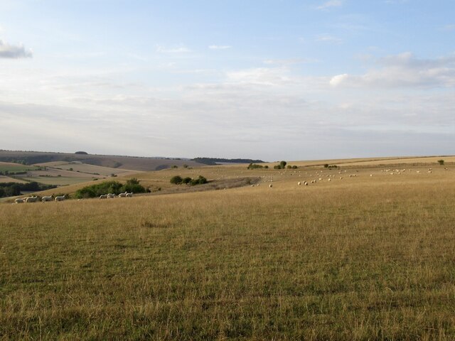
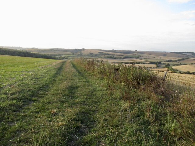
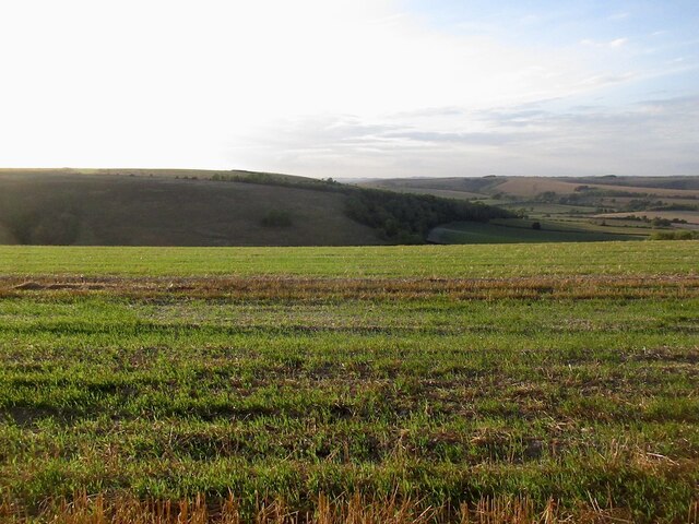
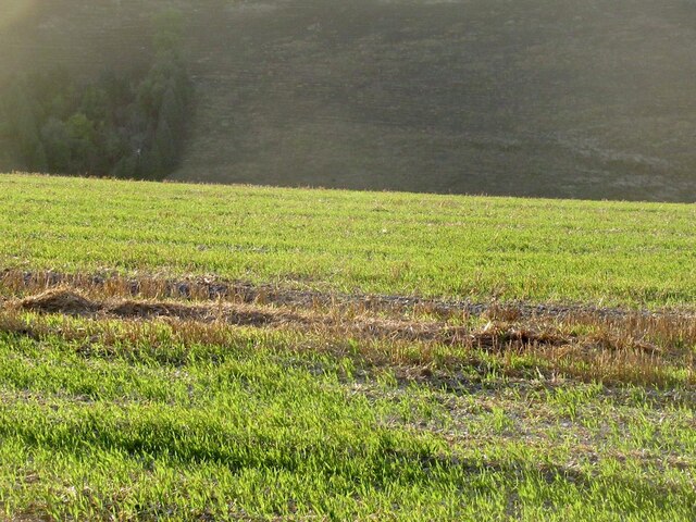
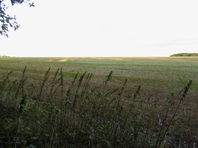
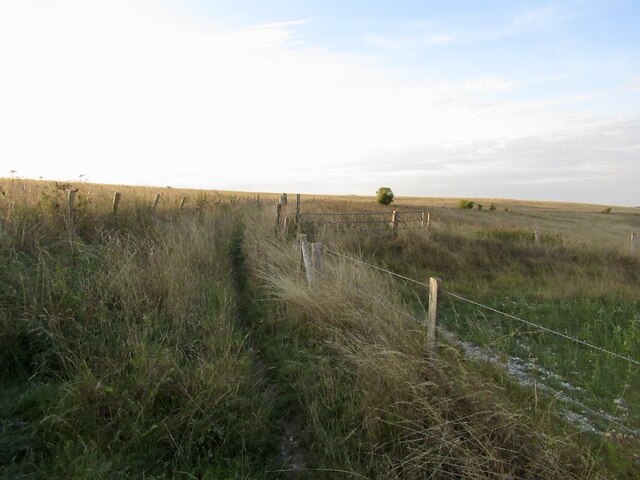
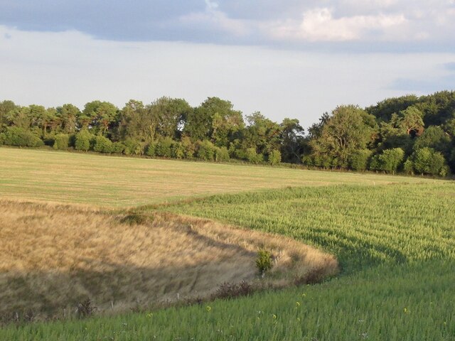
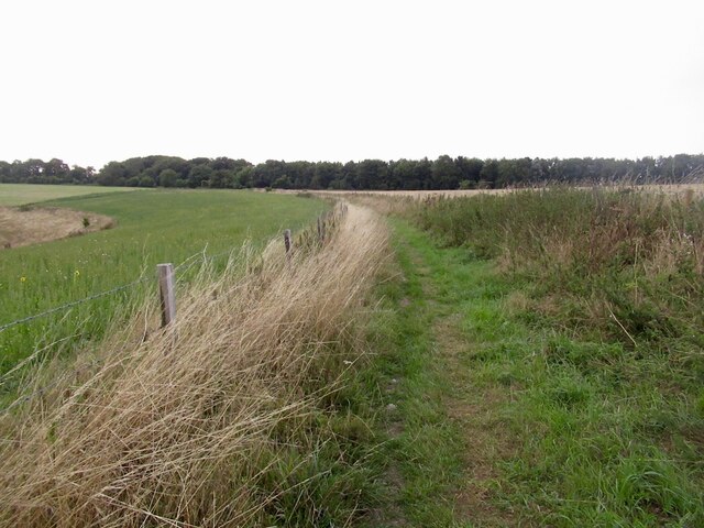
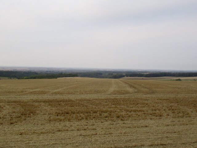
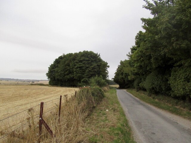
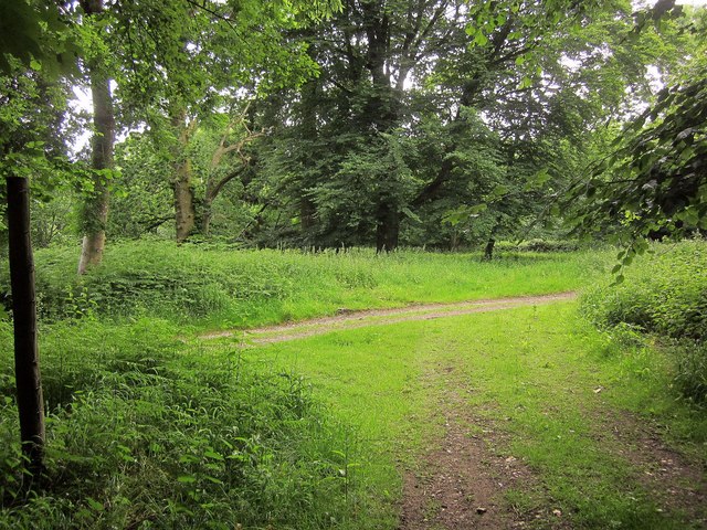
The landscape of Hewetts Bottom is characterized by rolling hills and green pastures, making it a charming countryside destination. The River Wylye flows through the valley, adding to its natural beauty. The area is known for its diverse flora and fauna, with an array of wildflowers and wildlife species calling it home.

The valley has been inhabited for centuries, and evidence of ancient settlements can be found in the form of earthworks and burial mounds. The area also has historical significance, with nearby attractions such as Old Sarum, Stonehenge, and Salisbury Cathedral attracting tourists from around the world.

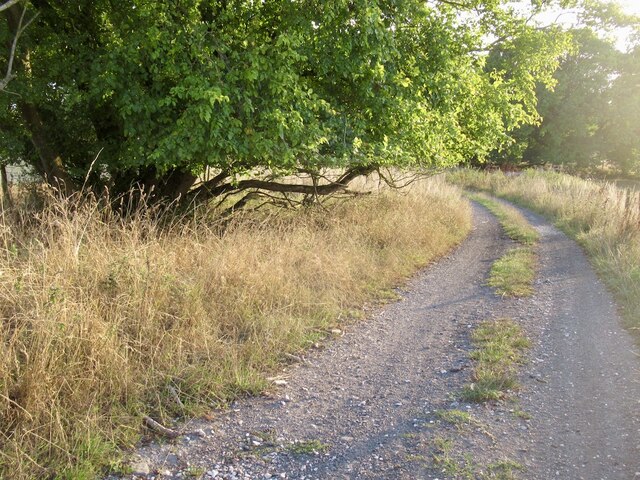
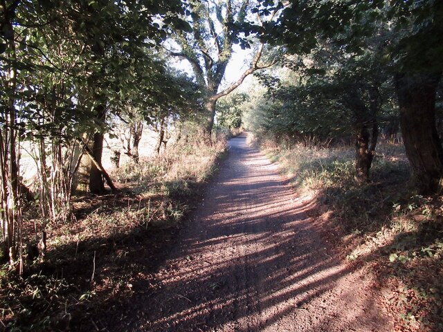
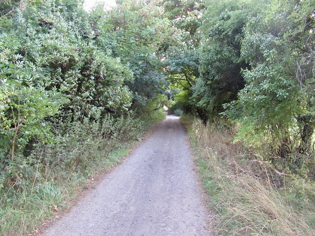
Hewetts Bottom offers ample opportunities for outdoor activities and exploration. Walking and cycling paths crisscross the valley, allowing visitors to soak in the stunning views while enjoying a leisurely stroll or bike ride. The nearby villages provide amenities such as pubs and cafes, perfect for a relaxing pit stop.

Overall, Hewetts Bottom is a tranquil and idyllic destination, offering a peaceful escape from the hustle and bustle of city life. With its natural beauty and rich historical heritage, it is a place that captivates visitors and locals alike.

If you have any feedback on the listing, please let us know in the comments section below.

Hewetts Bottom Images

Images are sourced within 2km of 50.975448/-2.0550419 or Grid Reference ST9619. Thanks to Geograph Open Source API. All images are credited.

Pincombe Down View from the Ox Drove towards Trow Down.
Pincombe Down
View from the Ox Drove towards Trow Down.
Ox Drove
Ox Drove
Field edge, Bridmore View from the Ox Drove.
Field edge, Bridmore
View from the Ox Drove.
Stubble, Bridmore View towards Winkelbury.
Stubble, Bridmore
View towards Winkelbury.
Stubble and fresh growth, Bridmore
The Ox Drove, Bridmore
Stubble, Bridmore
Stubble, Bridmore
The Ox Drove
The Ox Drove
Path on Winkelbury Hill
Downland, Winkelbury Hill The ground drops away sharply here.
Downland, Winkelbury Hill
The ground drops away sharply here.
Path on Winkelbury Hill
Stubble, Rotherley Down Gently sloping ground, Cranbourne Chase.
Stubble, Rotherley Down
Gently sloping ground, Cranbourne Chase.
The Ox Drove A tarred section of the ridge road.
The Ox Drove
A tarred section of the ridge road.
Track junction, Chase Woods Staplefoot Road (foreground) meets Longcroft Road (footpath BSJO 19) in Bridmore Green, on the north-western side of the woods.
Track junction, Chase Woods
Staplefoot Road (foreground) meets Longcroft Road (footpath BSJO 19) in Bridmore Green, on the north-western side of the woods.
Longcroft Road Footpath BSJO 19 follows this track through Long Croft in Chase Woods.
Longcroft Road
Footpath BSJO 19 follows this track through Long Croft in Chase Woods.
Chase Avenue Crossing Longcroft Road, which I am following. Chase Avenue is one of a pair of beech avenues created by Augustus Pitt Rivers as an extension to his Rushmore estate in the late C19.
Chase Avenue
Crossing Longcroft Road, which I am following. Chase Avenue is one of a pair of beech avenues created by Augustus Pitt Rivers as an extension to his Rushmore estate in the late C19.
Path, Great Shaftesbury Coppice Approaching the forest edge shown in <a href="https://www.geograph.org.uk/photo/4544846">ST9718 : Little Shaftesbury Coppice</a>.
Path, Great Shaftesbury Coppice
Approaching the forest edge shown in ST9718 : Little Shaftesbury Coppice.
Track by Great Shaftesbury Coppice Bridleway E52 23 runs alongside the edge of Chase Woods. This looks in the other direction from the same spot as <a href="https://www.geograph.org.uk/photo/4544846">ST9718 : Little Shaftesbury Coppice</a>.
Track by Great Shaftesbury Coppice
Bridleway E52 23 runs alongside the edge of Chase Woods. This looks in the other direction from the same spot as ST9718 : Little Shaftesbury Coppice.
Show me another place!

Hewetts Bottom is located at Grid Ref: ST9619 (Lat: 50.975448, Lng: -2.0550419)

Unitary Authority: Wiltshire

Police Authority: Wiltshire

What 3 Words

///supposes.fetching.attend. Near Bower Chalke, Wiltshire

Related Wikis

Rotherley Down Settlement

Rotherley Down Settlement is an archaeological site of the late Iron Age and Romano-British period on Cranborne Chase, England. It is about 1.5 miles...

Sandroyd School

Sandroyd School is an independent co-educational preparatory school for day and boarding pupils aged 2 to 13 in the south of Wiltshire, England. The school...

Woodcutts Settlement

Woodcutts Settlement is an archaeological site of the late Iron Age and Romano-British period on Cranborne Chase, England. It is situated about 1 mile...

Rotherley Downs

Rotherley Downs (grid reference ST946196) is a 120.05 hectare biological Site of Special Scientific Interest in Wiltshire, England, notified in 1989. The...

Nearby Amenities

Located within 500m of 50.975448,-2.0550419
Material: wood
Power: pole
Source: bing
Lat/Long: 50.9736982/-2.061337
Grannels Orchard
Place: locality
Lat/Long: 50.9719651/-2.0551496
Shiftway Coppice
Place: locality
Lat/Long: 50.9713581/-2.0573556
Lubbock's Point
Place: locality
Lat/Long: 50.9737745/-2.0502926
Hewetts Coppice
Place: locality
Lat/Long: 50.9747667/-2.0518498
Little Water Ridge
Place: locality
Lat/Long: 50.9759222/-2.0507005
Hewetts Bottom
Place: locality
Lat/Long: 50.9759806/-2.0549086
The data included in this document is from www.openstreetmap.org. The data is made available under ODbL.

Have you been to Hewetts Bottom?

Leave your review of Hewetts Bottom below (or comments, questions and feedback).