Shiftway Coppice

Wood, Forest in Wiltshire

England

Shiftway Coppice

Stubble, Bridmore View towards Winkelbury.
Stubble, Bridmore Credit: Richard Webb

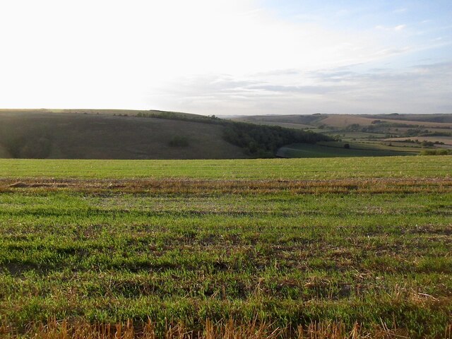
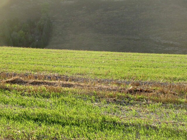
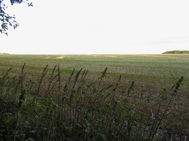
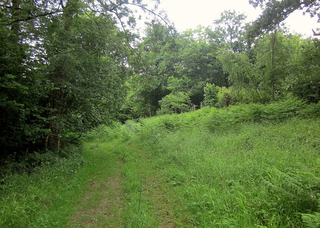
Shiftway Coppice is a picturesque woodland located in Wiltshire, England. Covering an area of approximately 50 hectares, this ancient forest is renowned for its natural beauty and rich biodiversity.

The coppice is primarily composed of deciduous trees, such as oak, ash, beech, and hazel. These trees create a dense canopy that provides shade and shelter for a variety of wildlife species. The forest floor is carpeted with an array of wildflowers, including bluebells and primroses, adding vibrant colors to the landscape during springtime.

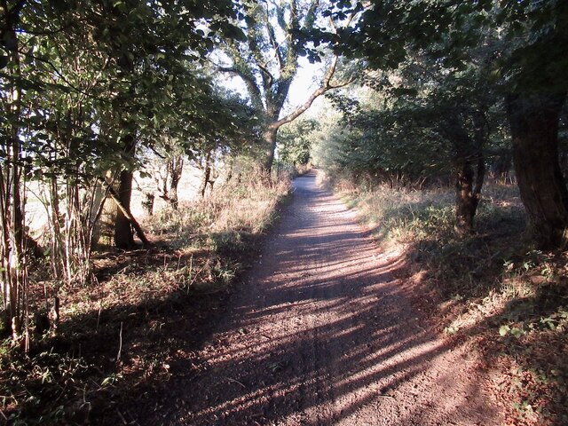
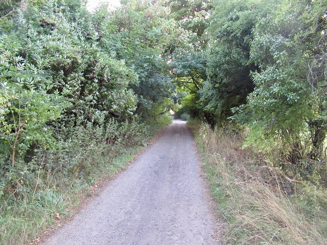
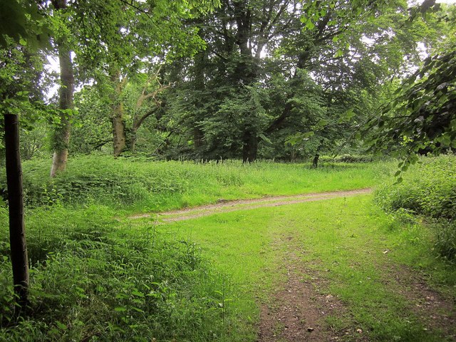
The woodland is crisscrossed by a network of footpaths and trails, making it a popular destination for nature enthusiasts and hikers. These paths allow visitors to explore the forest and discover its hidden treasures, such as ancient trees, secluded glades, and a meandering stream that adds to the tranquility of the area.

Shiftway Coppice is home to a diverse range of wildlife, including several species of birds, mammals, and insects. Birdwatchers can spot species like woodpeckers, owls, and warblers, while mammal enthusiasts may catch sight of deer, foxes, and badgers. The forest also supports a variety of butterflies and other insects, making it a haven for entomologists and nature photographers.

The woodland is managed by the local authorities, who ensure its conservation and protection. Educational programs and guided walks are occasionally organized to raise awareness about the importance of preserving the natural habitat and wildlife within Shiftway Coppice.

Overall, Shiftway Coppice is a captivating woodland that offers a peaceful retreat from the hustle and bustle of everyday life, providing visitors with an opportunity to reconnect with nature and appreciate the beauty of the Wiltshire countryside.

If you have any feedback on the listing, please let us know in the comments section below.

Shiftway Coppice Images

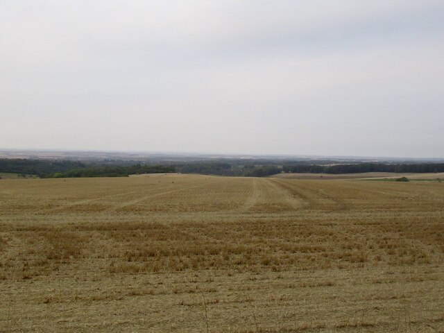
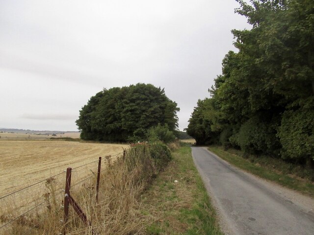
Images are sourced within 2km of 50.971212/-2.057045 or Grid Reference ST9619. Thanks to Geograph Open Source API. All images are credited.

Stubble, Bridmore View towards Winkelbury.
Stubble, Bridmore
View towards Winkelbury.
Stubble and fresh growth, Bridmore
The Ox Drove, Bridmore
Stubble, Bridmore
Stubble, Bridmore
The Ox Drove
The Ox Drove
Stubble, Rotherley Down Gently sloping ground, Cranbourne Chase.
Stubble, Rotherley Down
Gently sloping ground, Cranbourne Chase.
The Ox Drove A tarred section of the ridge road.
The Ox Drove
A tarred section of the ridge road.
Track junction, Chase Woods Staplefoot Road (foreground) meets Longcroft Road (footpath BSJO 19) in Bridmore Green, on the north-western side of the woods.
Track junction, Chase Woods
Staplefoot Road (foreground) meets Longcroft Road (footpath BSJO 19) in Bridmore Green, on the north-western side of the woods.
Longcroft Road Footpath BSJO 19 follows this track through Long Croft in Chase Woods.
Longcroft Road
Footpath BSJO 19 follows this track through Long Croft in Chase Woods.
Chase Avenue Crossing Longcroft Road, which I am following. Chase Avenue is one of a pair of beech avenues created by Augustus Pitt Rivers as an extension to his Rushmore estate in the late C19.
Chase Avenue
Crossing Longcroft Road, which I am following. Chase Avenue is one of a pair of beech avenues created by Augustus Pitt Rivers as an extension to his Rushmore estate in the late C19.
Path, Great Shaftesbury Coppice Approaching the forest edge shown in <a href="https://www.geograph.org.uk/photo/4544846">ST9718 : Little Shaftesbury Coppice</a>.
Path, Great Shaftesbury Coppice
Approaching the forest edge shown in ST9718 : Little Shaftesbury Coppice.
Track by Great Shaftesbury Coppice Bridleway E52 23 runs alongside the edge of Chase Woods. This looks in the other direction from the same spot as <a href="https://www.geograph.org.uk/photo/4544846">ST9718 : Little Shaftesbury Coppice</a>.
Track by Great Shaftesbury Coppice
Bridleway E52 23 runs alongside the edge of Chase Woods. This looks in the other direction from the same spot as ST9718 : Little Shaftesbury Coppice.
Shire Rack The path follows the county boundary between Dorset and Wiltshire.
Shire Rack
The path follows the county boundary between Dorset and Wiltshire.
Shire Rack The path follows the county boundary between Dorset and Wiltshire, although since it is a Dorset path (E52 30) the boundary must be on the left side.
Shire Rack
The path follows the county boundary between Dorset and Wiltshire, although since it is a Dorset path (E52 30) the boundary must be on the left side.
B3081 looking east Heading towards Sixpenny Handley.
B3081 looking east
Heading towards Sixpenny Handley.
Rushmore Park, gate Entering Pollards Wood, on the path to Shermel Gate.
Rushmore Park, gate
Entering Pollards Wood, on the path to Shermel Gate.
Rushmore Park, footpath Through Pollards Wood, on the way to Shermel Gate; part of Hardy Way.
Rushmore Park, footpath
Through Pollards Wood, on the way to Shermel Gate; part of Hardy Way.
Rushmore Park, bluebells Wild bluebells under, unusually, a screen of conifers in Uddens Coppice.
Rushmore Park, bluebells
Wild bluebells under, unusually, a screen of conifers in Uddens Coppice.
Show me another place!

Shiftway Coppice is located at Grid Ref: ST9619 (Lat: 50.971212, Lng: -2.057045)

Unitary Authority: Wiltshire

Police Authority: Wiltshire

What 3 Words

///microchip.exporters.roof. Near Bower Chalke, Wiltshire

Related Wikis

Sandroyd School

Sandroyd School is an independent co-educational preparatory school for day and boarding pupils aged 2 to 13 in the south of Wiltshire, England. The school...

Woodcutts Settlement

Woodcutts Settlement is an archaeological site of the late Iron Age and Romano-British period on Cranborne Chase, England. It is situated about 1 mile...

Rotherley Down Settlement

Rotherley Down Settlement is an archaeological site of the late Iron Age and Romano-British period on Cranborne Chase, England. It is about 1.5 miles...

Cranborne Chase

Cranborne Chase (grid reference ST970180) is an area of central southern England, straddling the counties Dorset, Hampshire and Wiltshire. It is part of...

Nearby Amenities

Located within 500m of 50.971212,-2.057045
Material: wood
Power: pole
Source: bing
Lat/Long: 50.9727929/-2.0630375
Material: wood
Power: pole
Source: bing
Lat/Long: 50.9736982/-2.061337
Glover's Coppice
Place: locality
Lat/Long: 50.9689416/-2.0544451
Water Ridge Bottom
Place: locality
Lat/Long: 50.9694553/-2.0516088
Grannels Orchard
Place: locality
Lat/Long: 50.9719651/-2.0551496
Shiftway Coppice
Place: locality
Lat/Long: 50.9713581/-2.0573556
Costard's Pleck
Place: locality
Lat/Long: 50.9709852/-2.0632463
Costard's Bushes
Place: locality
Lat/Long: 50.971938/-2.0621334
The data included in this document is from www.openstreetmap.org. The data is made available under ODbL.

Have you been to Shiftway Coppice?

Leave your review of Shiftway Coppice below (or comments, questions and feedback).