Hewetts Coppice
Wood, Forest in Wiltshire
England
Hewetts Coppice
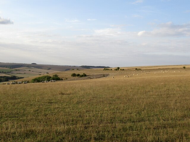
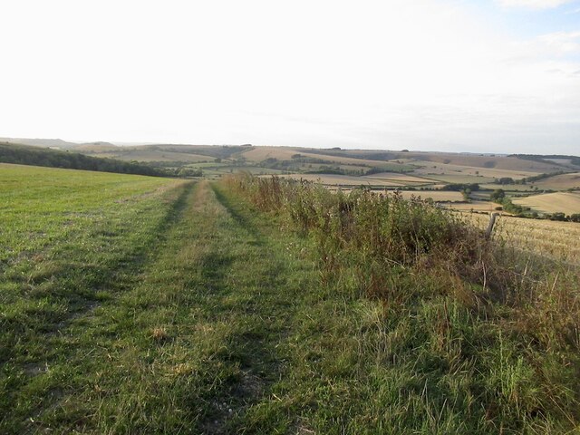
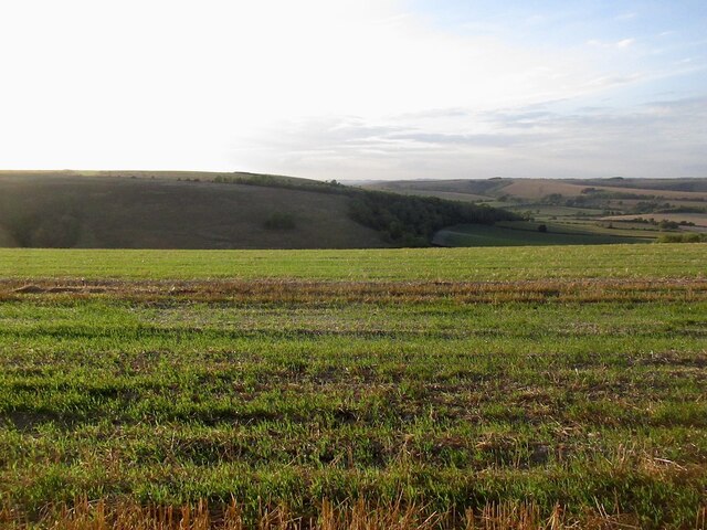
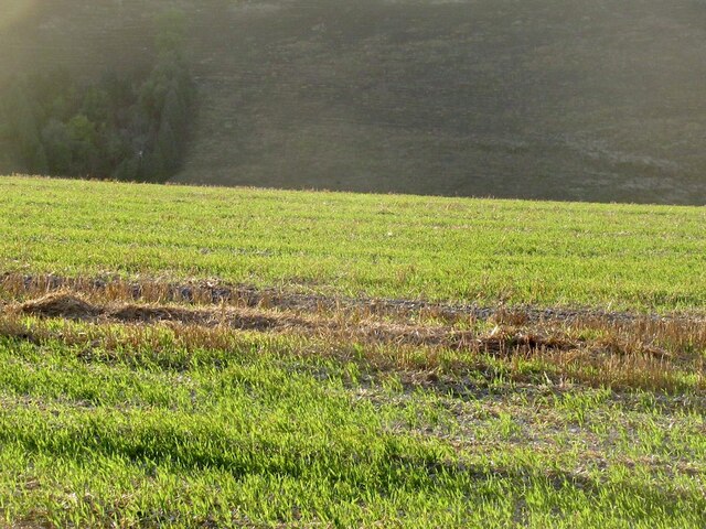
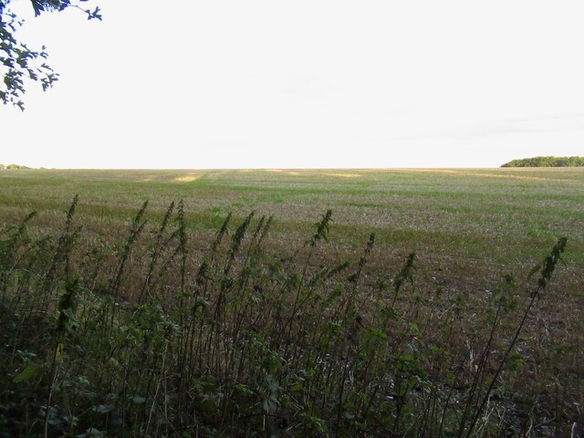
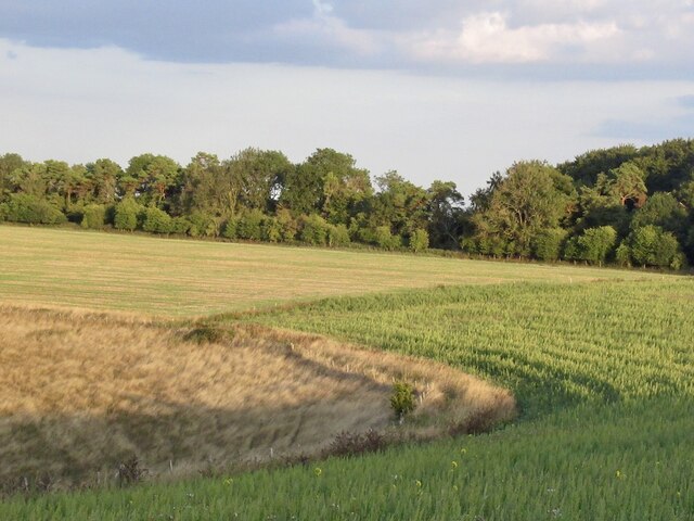
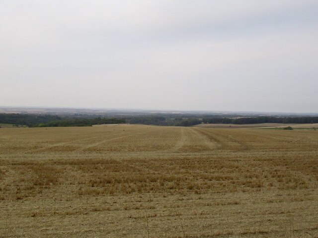
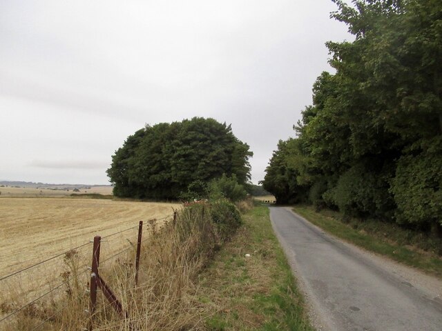
Hewetts Coppice is a woodland area located in the county of Wiltshire, England. Covering an approximate area of 100 hectares, it is situated near the village of Malmesbury and is easily accessible by both car and foot. The coppice is part of the larger forested landscape of the Cotswolds.
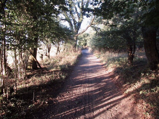
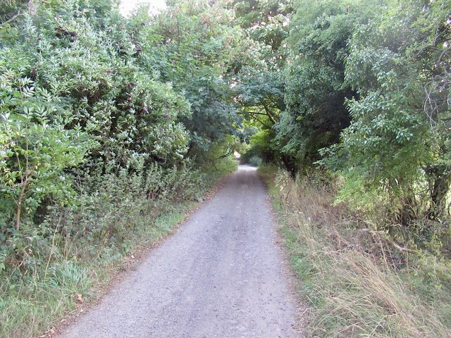
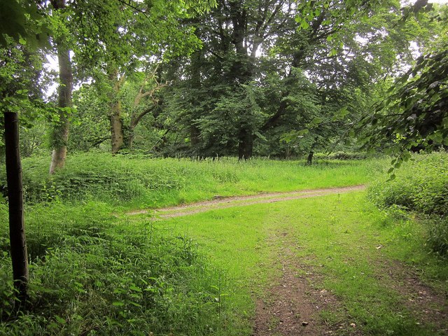
The woodland is predominantly composed of broadleaf trees, such as oak, ash, and beech, which provide a diverse and vibrant habitat for a variety of flora and fauna. The dense canopy formed by these trees creates a shaded and peaceful environment, making it a popular spot for local residents and visitors alike to escape the hustle and bustle of daily life.
Hewetts Coppice is home to a multitude of wildlife species, including several rare and endangered ones. It provides a natural habitat for mammals like badgers, foxes, and deer, as well as a range of bird species, including woodpeckers, owls, and various songbirds. The woodland floor is adorned with a rich tapestry of wildflowers, ferns, and mosses, which add to its natural beauty.
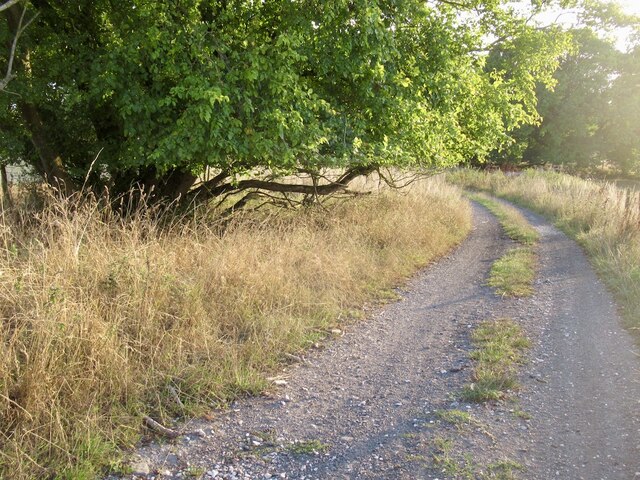
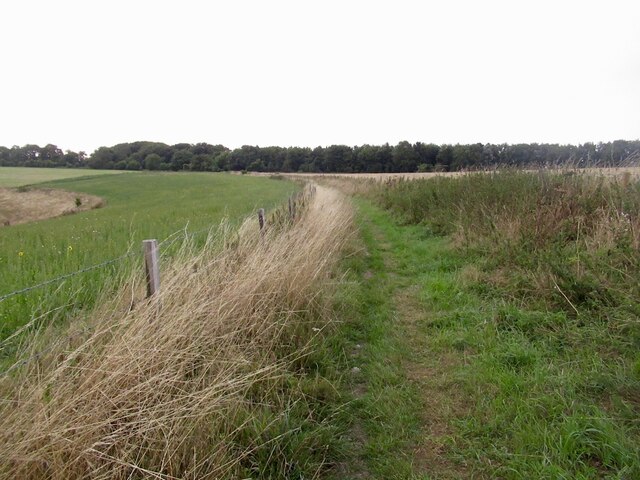
The coppice is well-maintained, with designated walking trails that meander through the woodland, allowing visitors to explore and appreciate its natural wonders. These paths are suitable for walkers of all abilities and are often used for leisurely strolls, dog walking, or even jogging.
Hewetts Coppice is not only a haven for nature enthusiasts but also serves as an important educational resource. It offers an opportunity to learn about woodland ecology, biodiversity, and conservation through guided tours and educational programs.
If you have any feedback on the listing, please let us know in the comments section below.
Hewetts Coppice Images
Images are sourced within 2km of 50.975072/-2.0514522 or Grid Reference ST9619. Thanks to Geograph Open Source API. All images are credited.


Hewetts Coppice is located at Grid Ref: ST9619 (Lat: 50.975072, Lng: -2.0514522)
Unitary Authority: Wiltshire
Police Authority: Wiltshire
What 3 Words
///shadows.hydration.violin. Near Bower Chalke, Wiltshire
Nearby Locations
Related Wikis

Woodcutts Settlement
Woodcutts Settlement is an archaeological site of the late Iron Age and Romano-British period on Cranborne Chase, England. It is situated about 1 mile...

Rotherley Down Settlement
Rotherley Down Settlement is an archaeological site of the late Iron Age and Romano-British period on Cranborne Chase, England. It is about 1.5 miles...

Sandroyd School
Sandroyd School is an independent co-educational preparatory school for day and boarding pupils aged 2 to 13 in the south of Wiltshire, England. The school...

Cranborne Chase
Cranborne Chase (grid reference ST970180) is an area of central southern England, straddling the counties Dorset, Hampshire and Wiltshire. It is part of...

Cranborne Chase and West Wiltshire Downs
Cranborne Chase and West Wiltshire Downs is an Area of Outstanding Natural Beauty (AONB) covering 379 square miles (980 km2) of Dorset, Hampshire, Somerset...
Rotherley Downs
Rotherley Downs (grid reference ST946196) is a 120.05 hectare biological Site of Special Scientific Interest in Wiltshire, England, notified in 1989. The...

Pincombe Down
Pincombe Down (grid reference ST966217) is a 23.8 hectare biological Site of Special Scientific Interest in southwest Wiltshire, England, notified in 1971...

South Lodge Camp
South Lodge Camp is an archaeological site of the Bronze Age, about 0.6 miles (1.0 km) south-east of the village of Tollard Royal, in Wiltshire, England...
Nearby Amenities
Located within 500m of 50.975072,-2.0514522Have you been to Hewetts Coppice?
Leave your review of Hewetts Coppice below (or comments, questions and feedback).