Lambing Pen Belt

Wood, Forest in Wiltshire

England

Lambing Pen Belt

A303, westbound The A303 is a main trunk road running 92 miles between Basingstoke and Honiton. Along with the A30 and M3 it forms a major route between London and the South West. Much of the road is dual carriageway, but some stretches remain single and prone to congestion.

Wikipedia: <span class="nowrap"><a title="http://en.wikipedia.org/wiki/A303_road" rel="nofollow ugc noopener" href="http://en.wikipedia.org/wiki/A303_road">Link</a><img style="margin-left:2px;" alt="External link" title="External link - shift click to open in new window" src="https://s1.geograph.org.uk/img/external.png" width="10" height="10"/></span>
A303, westbound Credit: N Chadwick

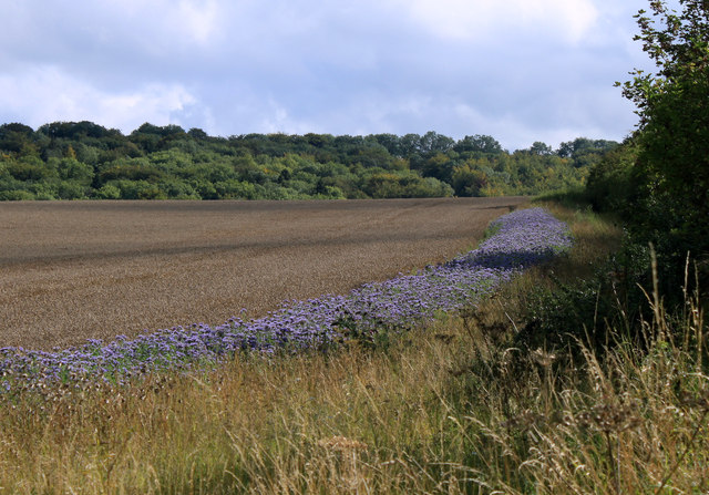
Lambing Pen Belt is a picturesque woodland area located in Wiltshire, England. It covers approximately 200 acres and is renowned for its natural beauty and abundant wildlife. The woodland is dominated by a mix of deciduous and coniferous trees, creating a diverse and thriving ecosystem.

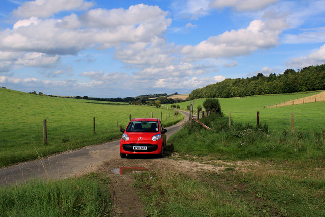
The Lambing Pen Belt is a popular destination for nature enthusiasts and outdoor enthusiasts alike. It offers a range of activities such as walking, hiking, and birdwatching. Visitors can explore the well-maintained network of trails that wind their way through the woods, providing stunning views of the surrounding countryside.

One of the notable features of Lambing Pen Belt is its rich biodiversity. The woodland is home to a variety of plant and animal species, including oak, beech, and pine trees. Wildlife enthusiasts can spot a wide range of bird species, such as woodpeckers, owls, and various songbirds.

Additionally, Lambing Pen Belt is inhabited by several mammal species, including deer, foxes, and badgers. These creatures can often be seen roaming the woodland, adding to the area's natural charm.

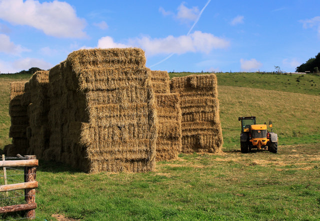
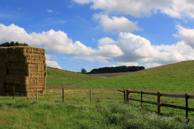
Lambing Pen Belt is also steeped in history. It has been used for centuries as a grazing ground for sheep, as indicated by its name. This historical significance adds an extra layer of cultural interest to the area.

Overall, Lambing Pen Belt is a captivating woodland area that offers visitors a chance to immerse themselves in nature, explore its diverse flora and fauna, and experience the tranquility of rural Wiltshire.

If you have any feedback on the listing, please let us know in the comments section below.

Lambing Pen Belt Images

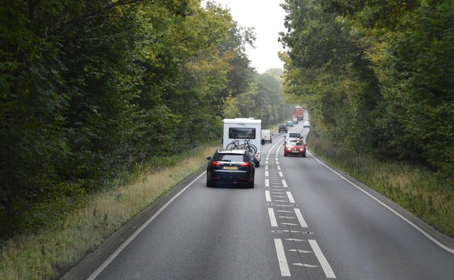
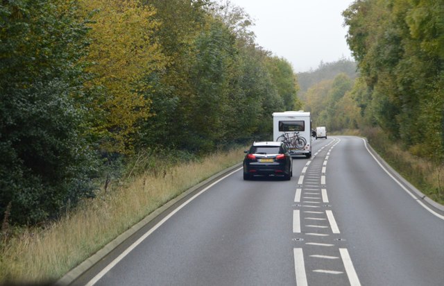
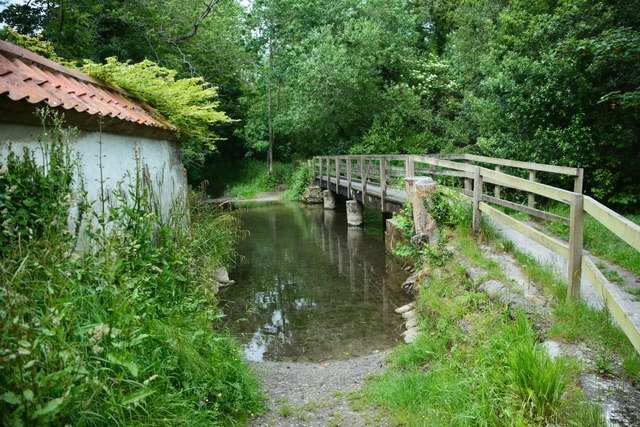
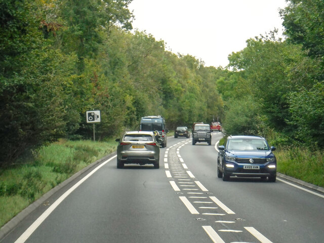
Images are sourced within 2km of 51.135564/-2.0516313 or Grid Reference ST9637. Thanks to Geograph Open Source API. All images are credited.

A303, westbound The A303 is a main trunk road running 92 miles between Basingstoke and Honiton. Along with the A30 and M3 it forms a major route between London and the South West. Much of the road is dual carriageway, but some stretches remain single and prone to congestion.

Wikipedia: <span class="nowrap"><a title="http://en.wikipedia.org/wiki/A303_road" rel="nofollow ugc noopener" href="http://en.wikipedia.org/wiki/A303_road">Link</a><img style="margin-left:2px;" alt="External link" title="External link - shift click to open in new window" src="https://s1.geograph.org.uk/img/external.png" width="10" height="10"/></span>
A303, westbound
The A303 is a main trunk road running 92 miles between Basingstoke and Honiton. Along with the A30 and M3 it forms a major route between London and the South West. Much of the road is dual carriageway, but some stretches remain single and prone to congestion. Wikipedia: LinkExternal link
A303 The A303 is a main trunk road running 92 miles between Basingstoke and Honiton. Along with the A30 and M3 it forms a major route between London and the South West. Much of the road is dual carriageway, but some stretches remain single and prone to congestion.

Wikipedia: <span class="nowrap"><a title="http://en.wikipedia.org/wiki/A303_road" rel="nofollow ugc noopener" href="http://en.wikipedia.org/wiki/A303_road">Link</a><img style="margin-left:2px;" alt="External link" title="External link - shift click to open in new window" src="https://s1.geograph.org.uk/img/external.png" width="10" height="10"/></span>
A303
The A303 is a main trunk road running 92 miles between Basingstoke and Honiton. Along with the A30 and M3 it forms a major route between London and the South West. Much of the road is dual carriageway, but some stretches remain single and prone to congestion. Wikipedia: LinkExternal link
Cottages, Stockton A great deal of thatch, some grade II listed buildings.
Cottages, Stockton
A great deal of thatch, some grade II listed buildings.
Albany Place Originally two cottages, it must have been built on the original alignment of the road after it was diverted left to bridge the railway. It appears to be one house now, Albany Cottage.
Albany Place
Originally two cottages, it must have been built on the original alignment of the road after it was diverted left to bridge the railway. It appears to be one house now, Albany Cottage.
Sherrington Ford This ford is found on the River Wylye just below Sherrington Manor.
Sherrington Ford
This ford is found on the River Wylye just below Sherrington Manor.
Chilmark : A303 Looking along the A303.
Chilmark : A303
Looking along the A303.
2011 : Along the Wylye Valley near Sherrington
2011 : Mount Pleasant, Sherrington The minor between Stockton and Boyton bypasses Sherrington which is lost in a maze of even more minor roads a few hundred yards to the north.
2011 : Mount Pleasant, Sherrington
The minor between Stockton and Boyton bypasses Sherrington which is lost in a maze of even more minor roads a few hundred yards to the north.
2011 : A view from the bridge The railway bridge on the Warminster to Salisbury line near Sherrington.
Stockton Dairy can be seen between the trees, thought they were beeches at first but a closer inspection shows they are something else.
2011 : A view from the bridge
The railway bridge on the Warminster to Salisbury line near Sherrington. Stockton Dairy can be seen between the trees, thought they were beeches at first but a closer inspection shows they are something else.
2011 : Church Lane, Sherrington Sherrington is a small and pleasant village tucked away beside a minor road running along the Wylye valley, which itself is tucked away on the south side of the valley well away from the A36 which runs along the north side.
Sherrington does little to advertise itself, you could pass within 100 yards without knowing it is there.  To be fair, if you lived in a place like Sherrington would you want hordes of visitors descending? Not me!
2011 : Church Lane, Sherrington
Sherrington is a small and pleasant village tucked away beside a minor road running along the Wylye valley, which itself is tucked away on the south side of the valley well away from the A36 which runs along the north side. Sherrington does little to advertise itself, you could pass within 100 yards without knowing it is there. To be fair, if you lived in a place like Sherrington would you want hordes of visitors descending? Not me!
2011 : Guardian of the straw On a lane to nowhere south of Sherrington.
While I was there a large vehicle arrived to remove the bales (not all at once). The "guardian" was equipped with a lifting device to load it.
2011 : Guardian of the straw
On a lane to nowhere south of Sherrington. While I was there a large vehicle arrived to remove the bales (not all at once). The "guardian" was equipped with a lifting device to load it.
2011 : Home from the hill, Park Bottom The tractor was harrowing.
2011 : Home from the hill, Park Bottom
The tractor was harrowing.
2011 : Blue "road" in a wheatfield Thought the flowers were thistles at first, but not so.
Between Stockton Down and Sherrington Down.
The wood's behind are in Great Bottom.
2011 : Blue "road" in a wheatfield
Thought the flowers were thistles at first, but not so. Between Stockton Down and Sherrington Down. The wood's behind are in Great Bottom.
2011 : Church Lane, Sherrington Heading south toward the main road.
A search of the www for Sherrington and/or its history reveals nothing, this in itself tells you something about the place.
2011 : Church Lane, Sherrington
Heading south toward the main road. A search of the www for Sherrington and/or its history reveals nothing, this in itself tells you something about the place.
2011 : Field north east of Sherrington The River Wylye flows through the trees on the far side.
2011 : Field north east of Sherrington
The River Wylye flows through the trees on the far side.
2011 : Footpath and track into Sherrington West along the Wylye Valley. Meeting Church Lane.
2011 : Footpath and track into Sherrington
West along the Wylye Valley. Meeting Church Lane.
2011 : On the unnamed road to Sherrington No name, doesn't go anywhere. A there-and-back-again road through some good walking country.
2011 : On the unnamed road to Sherrington
No name, doesn't go anywhere. A there-and-back-again road through some good walking country.
2011 : Strawstack and a dry valley Heading up to Stockton Down.
Queen's Barrow is at the top.
2011 : Strawstack and a dry valley
Heading up to Stockton Down. Queen's Barrow is at the top.
Show me another place!

Lambing Pen Belt is located at Grid Ref: ST9637 (Lat: 51.135564, Lng: -2.0516313)

Unitary Authority: Wiltshire

Police Authority: Wiltshire

What 3 Words

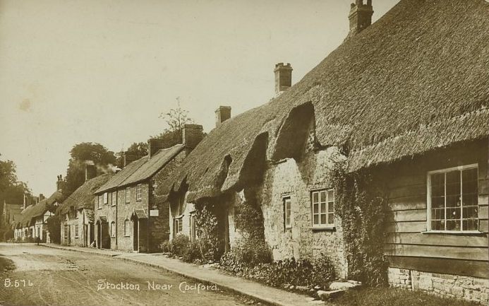
///conspired.dentures.regularly. Near Codford, Wiltshire

Related Wikis

Stockton Wood and Down

Stockton Wood and Down (grid reference ST958366) is a 61.5 hectare biological Site of Special Scientific Interest in the southwest of Stockton parish in...

Sherrington

Sherrington is a small village and civil parish on the River Wylye in Wiltshire, England. The part of the Great Ridge Wood known as Snailcreep Hanging...

Stockton, Wiltshire

Stockton is a small village and civil parish in the Wylye Valley in Wiltshire, England, about 8 miles (13 km) southeast of Warminster. The parish includes...

Woolstore Theatre

The Woolstore Theatre is a theatre in the village of Codford, Wiltshire, England. The theatre has been operating since 1928, when it was built by Colonel...

Have you been to Lambing Pen Belt?

Leave your review of Lambing Pen Belt below (or comments, questions and feedback).