Bridmore Green

Wood, Forest in Wiltshire

England

Bridmore Green

View over Cranbourne Chase South from the Ox Drove towards Rushmere woodlands.
View over Cranbourne Chase Credit: Richard Webb

Brimore Green is a small village located in the county of Wiltshire, England. Situated in the heart of a dense woodland area, it is known for its picturesque surroundings and tranquil atmosphere. The village is surrounded by lush greenery and is home to a variety of flora and fauna.

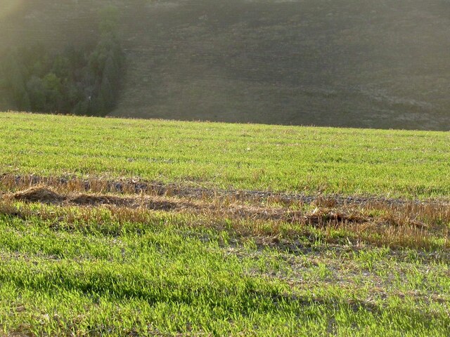
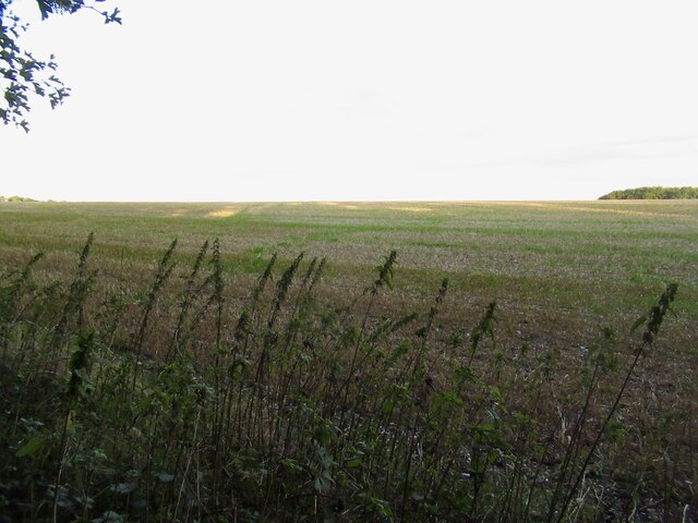
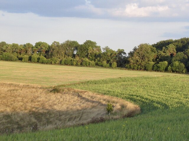
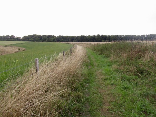
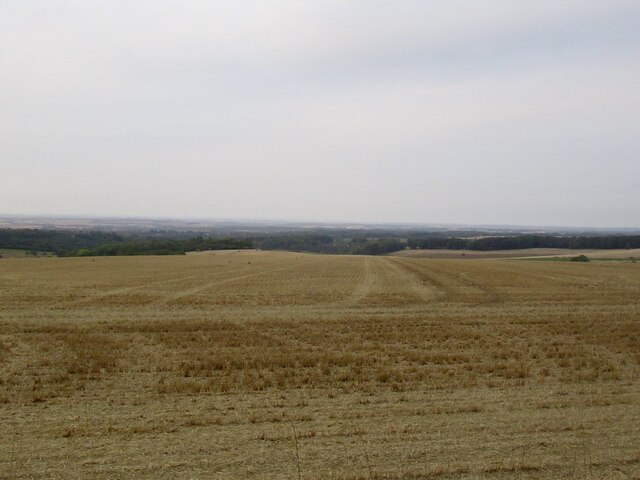
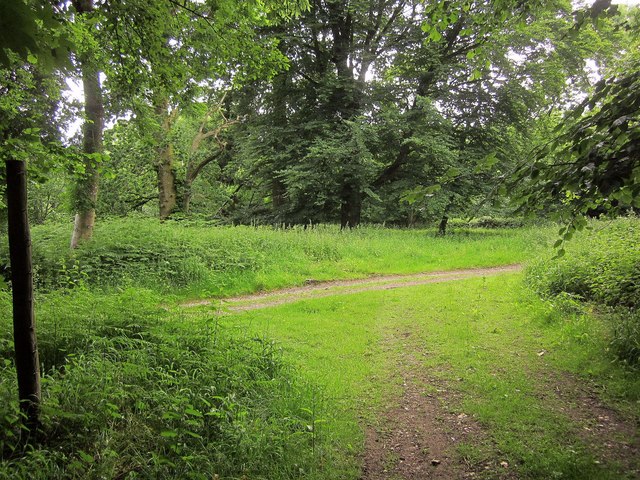
The woodlands of Bridmore Green are characterized by tall, ancient trees that provide a canopy of shade and shelter. The forest is predominantly made up of oak, beech, and ash trees, creating a diverse ecosystem that supports a wide range of wildlife. Visitors to the area often spot deer, foxes, and various species of birds, making it a popular destination for nature enthusiasts and birdwatchers.

The village itself is small, with a close-knit community of residents who take pride in preserving the natural beauty of their surroundings. There are a few traditional cottages scattered throughout the village, adding to its charm and rustic appeal. A small church, St. Mary's, stands prominently in the center of the village, serving as a place of worship and a focal point for community events.

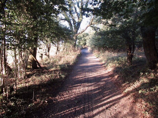
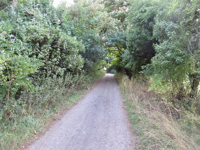
The woodlands surrounding Bridmore Green offer a peaceful retreat for those seeking solace and tranquility. There are several walking trails that wind through the forest, allowing visitors to explore the area and take in the breathtaking scenery. The village also has a small pub that serves as a gathering place for locals and visitors alike, providing a cozy atmosphere to enjoy a drink or a meal.

Overall, Bridmore Green is a hidden gem in Wiltshire, offering a serene and idyllic escape from the hustle and bustle of everyday life.

If you have any feedback on the listing, please let us know in the comments section below.

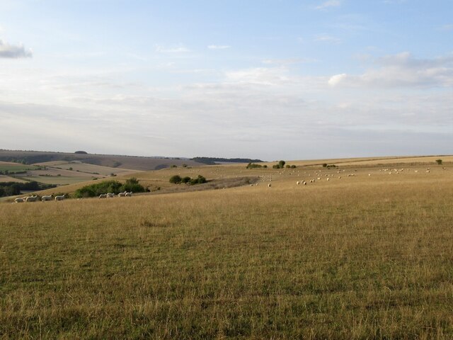
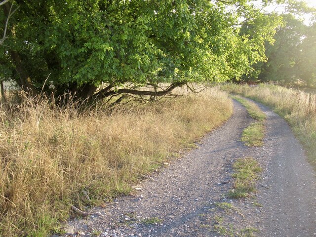
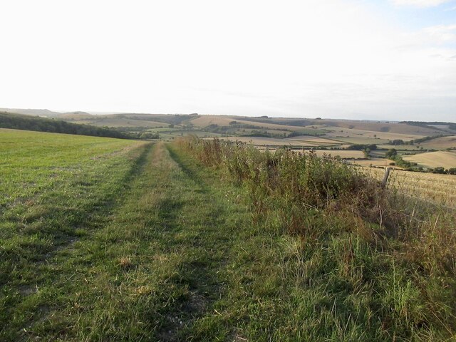
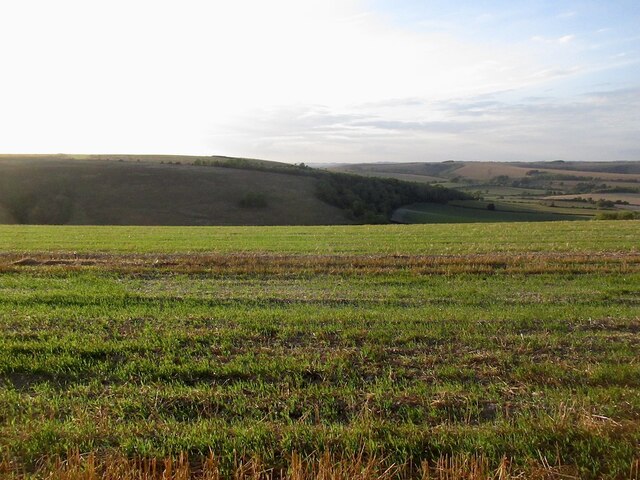
Bridmore Green Images

Images are sourced within 2km of 50.976584/-2.0480496 or Grid Reference ST9619. Thanks to Geograph Open Source API. All images are credited.

View over Cranbourne Chase South from the Ox Drove towards Rushmere woodlands.
View over Cranbourne Chase
South from the Ox Drove towards Rushmere woodlands.
Ox Drove, Trow Down
Ox Drove, Trow Down
Pincombe Down View from the Ox Drove towards Trow Down.
Pincombe Down
View from the Ox Drove towards Trow Down.
Ox Drove
Ox Drove
Field edge, Bridmore View from the Ox Drove.
Field edge, Bridmore
View from the Ox Drove.
Stubble, Bridmore View towards Winkelbury.
Stubble, Bridmore
View towards Winkelbury.
Stubble and fresh growth, Bridmore
The Ox Drove, Bridmore
Stubble, Bridmore
Stubble, Bridmore
The Ox Drove
The Ox Drove
Downland, Winkelbury Hill The ground drops away sharply here.
Downland, Winkelbury Hill
The ground drops away sharply here.
Path on Winkelbury Hill
Stubble, Rotherley Down Gently sloping ground, Cranbourne Chase.
Stubble, Rotherley Down
Gently sloping ground, Cranbourne Chase.
Track junction, Chase Woods Staplefoot Road (foreground) meets Longcroft Road (footpath BSJO 19) in Bridmore Green, on the north-western side of the woods.
Track junction, Chase Woods
Staplefoot Road (foreground) meets Longcroft Road (footpath BSJO 19) in Bridmore Green, on the north-western side of the woods.
Longcroft Road Footpath BSJO 19 follows this track through Long Croft in Chase Woods.
Longcroft Road
Footpath BSJO 19 follows this track through Long Croft in Chase Woods.
Chase Avenue Crossing Longcroft Road, which I am following. Chase Avenue is one of a pair of beech avenues created by Augustus Pitt Rivers as an extension to his Rushmore estate in the late C19.
Chase Avenue
Crossing Longcroft Road, which I am following. Chase Avenue is one of a pair of beech avenues created by Augustus Pitt Rivers as an extension to his Rushmore estate in the late C19.
Path, Great Shaftesbury Coppice Approaching the forest edge shown in <a href="https://www.geograph.org.uk/photo/4544846">ST9718 : Little Shaftesbury Coppice</a>.
Path, Great Shaftesbury Coppice
Approaching the forest edge shown in ST9718 : Little Shaftesbury Coppice.
Track by Great Shaftesbury Coppice Bridleway E52 23 runs alongside the edge of Chase Woods. This looks in the other direction from the same spot as <a href="https://www.geograph.org.uk/photo/4544846">ST9718 : Little Shaftesbury Coppice</a>.
Track by Great Shaftesbury Coppice
Bridleway E52 23 runs alongside the edge of Chase Woods. This looks in the other direction from the same spot as ST9718 : Little Shaftesbury Coppice.
Show me another place!

Bridmore Green is located at Grid Ref: ST9619 (Lat: 50.976584, Lng: -2.0480496)

Unitary Authority: Wiltshire

Police Authority: Wiltshire

What 3 Words

///dummy.shortage.loudly. Near Bower Chalke, Wiltshire

Related Wikis

Woodcutts Settlement

Woodcutts Settlement is an archaeological site of the late Iron Age and Romano-British period on Cranborne Chase, England. It is situated about 1 mile...

Cranborne Chase

Cranborne Chase (grid reference ST970180) is an area of central southern England, straddling the counties Dorset, Hampshire and Wiltshire. It is part of...

Rotherley Down Settlement

Rotherley Down Settlement is an archaeological site of the late Iron Age and Romano-British period on Cranborne Chase, England. It is about 1.5 miles...

Sandroyd School

Sandroyd School is an independent co-educational preparatory school for day and boarding pupils aged 2 to 13 in the south of Wiltshire, England. The school...

Nearby Amenities

Located within 500m of 50.976584,-2.0480496
Great Water Ridge
Place: locality
Lat/Long: 50.9723387/-2.0497736
Gains Pleck
Place: locality
Lat/Long: 50.9737161/-2.0472339
Lubbock's Point
Place: locality
Lat/Long: 50.9737745/-2.0502926
Hewetts Coppice
Place: locality
Lat/Long: 50.9747667/-2.0518498
Little Water Ridge
Place: locality
Lat/Long: 50.9759222/-2.0507005
Hewetts Bottom
Place: locality
Lat/Long: 50.9759806/-2.0549086
Bridmore Green
Place: locality
Lat/Long: 50.976786/-2.0470114
Frying Pan
Place: locality
Lat/Long: 50.9788636/-2.0446571
New Coppice
Place: locality
Lat/Long: 50.9755721/-2.0448981
The data included in this document is from www.openstreetmap.org. The data is made available under ODbL.

Have you been to Bridmore Green?

Leave your review of Bridmore Green below (or comments, questions and feedback).