Ell Wood
Wood, Forest in Worcestershire Bromsgrove
England
Ell Wood
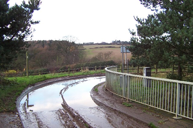
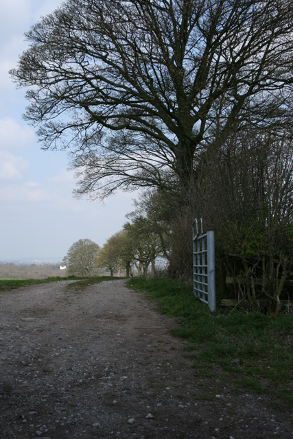
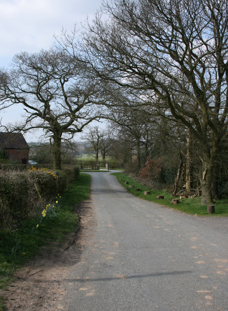
Ell Wood is a picturesque woodland located in Worcestershire, England. Situated within the wider area known as the Wyre Forest, Ell Wood is a popular destination for nature enthusiasts and outdoor adventurers alike.
Covering an area of approximately 1,500 acres, Ell Wood is characterized by its dense canopies and diverse vegetation. The woodland is primarily composed of native deciduous trees, including oak, beech, birch, and ash. These trees create a tranquil and serene atmosphere, making it an ideal place for peaceful walks and nature trails.
The woodland is also home to a wide variety of wildlife. Visitors may spot an array of bird species, such as woodpeckers, owls, and thrushes, as well as small mammals like squirrels and voles. The abundance of flora and fauna in Ell Wood makes it a haven for nature lovers and photographers who appreciate the beauty of the natural world.
In addition to its natural charm, Ell Wood offers several recreational activities for visitors. There are designated walking paths and cycling trails that wind through the forest, providing opportunities for exploration and exercise. Picnic areas and benches are scattered throughout the woodland, allowing visitors to relax and take in the tranquil surroundings.
Overall, Ell Wood in Worcestershire is a captivating destination that offers a peaceful retreat in the heart of nature. Its scenic beauty, diverse wildlife, and recreational opportunities make it a must-visit location for those seeking a connection with the great outdoors.
If you have any feedback on the listing, please let us know in the comments section below.
Ell Wood Images
Images are sourced within 2km of 52.413929/-2.0495607 or Grid Reference SO9679. Thanks to Geograph Open Source API. All images are credited.


Ell Wood is located at Grid Ref: SO9679 (Lat: 52.413929, Lng: -2.0495607)
Administrative County: Worcestershire
District: Bromsgrove
Police Authority: West Mercia
What 3 Words
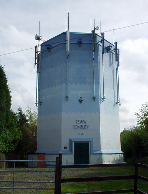
///filer.move.token. Near Romsley, Worcestershire
Nearby Locations
Related Wikis

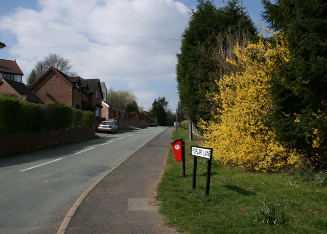
Romsley, Worcestershire
Romsley is a village and civil parish in the Bromsgrove District of Worcestershire, England, on the east side of the Clent Hills about 4 miles south of...
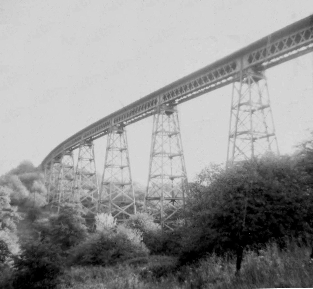
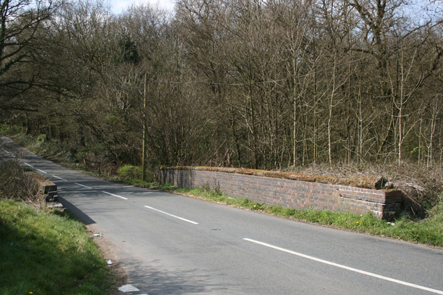
Dowery Dell Viaduct
Dowery Dell, between Rubery and Halesowen in Worcestershire, was a 234 yards (214 m), nine span lattice steel, single-track railway viaduct that carried...

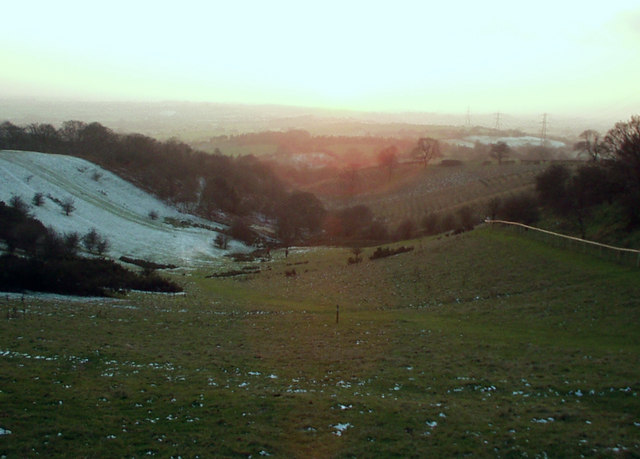
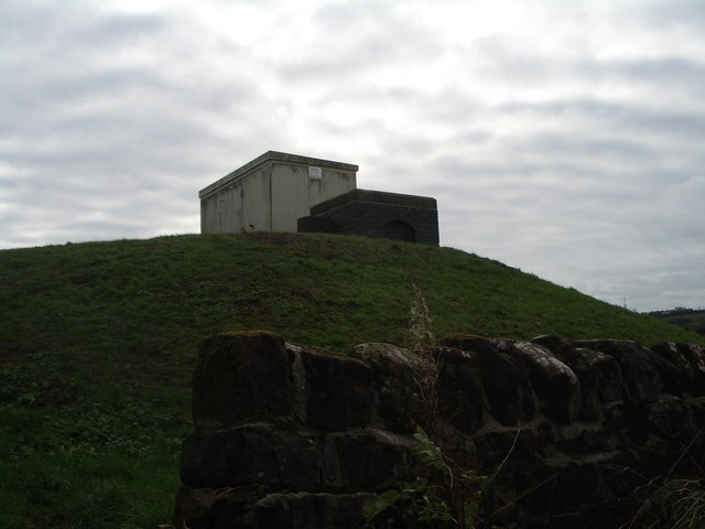
Waseley Hills Country Park
Waseley Hills Country Park is 150 acres (0.61 km2) a Country Park and Local Nature Reserve owned and managed by Worcestershire County Council's Countryside...

Hunnington
Hunnington is a village and civil parish in the Bromsgrove District of Worcestershire, England, close to the border with West Midlands, and just south...
Nearby Amenities
Located within 500m of 52.413929,-2.0495607Have you been to Ell Wood?
Leave your review of Ell Wood below (or comments, questions and feedback).