Fords Belt
Wood, Forest in Staffordshire Stafford
England
Fords Belt
Ford's Belt is a small woodland area located in Staffordshire, England. It is situated near the village of Gnosall, approximately 10 miles northwest of the county town of Stafford.
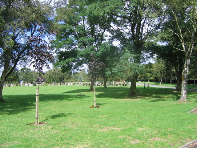
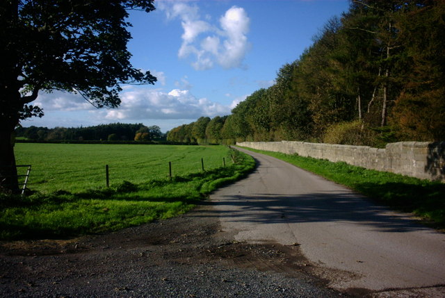
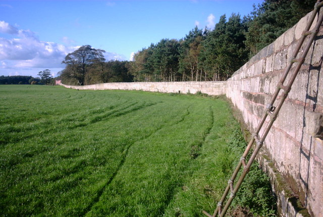
Covering an area of around 45 acres, Ford's Belt is predominantly composed of broad-leaved trees, including oak, ash, and birch. The woodland is characterized by its dense and mature vegetation, which creates a serene and natural atmosphere. It is a popular spot for nature enthusiasts, walkers, and birdwatchers.
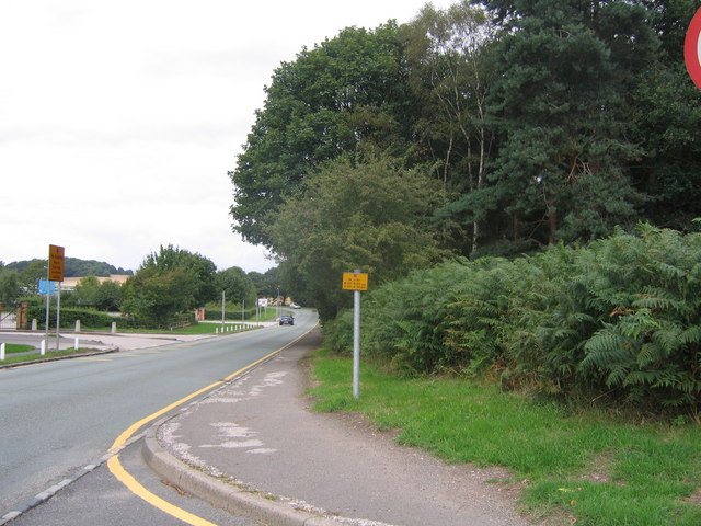
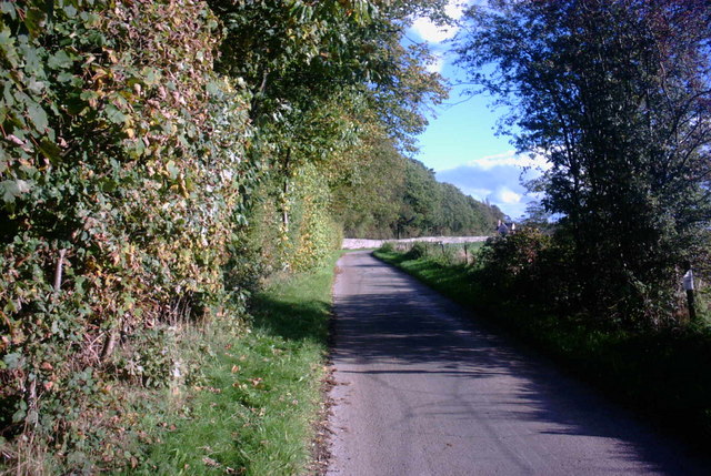
The woodland features a network of well-maintained footpaths, allowing visitors to explore the area and enjoy the tranquil surroundings. These paths lead to various points of interest, such as a small stream and a picturesque pond, which add to the charm of the woodland.
Ford's Belt is home to a diverse range of wildlife, providing a habitat for numerous species of birds, mammals, and insects. Visitors may spot woodland birds such as woodpeckers, owls, and thrushes, as well as mammals like squirrels, rabbits, and foxes. In spring, the woodland floor comes alive with a vibrant display of wildflowers, including bluebells and primroses.
The woodland is managed by the local council, ensuring its preservation and conservation. Access to Ford's Belt is free, and there are designated parking areas nearby for visitors' convenience.
Overall, Ford's Belt offers a peaceful and enchanting escape into nature, making it a cherished location for those seeking tranquility and a connection with the natural world.
If you have any feedback on the listing, please let us know in the comments section below.
Fords Belt Images
Images are sourced within 2km of 52.813586/-2.0500016 or Grid Reference SJ9624. Thanks to Geograph Open Source API. All images are credited.
Fords Belt is located at Grid Ref: SJ9624 (Lat: 52.813586, Lng: -2.0500016)
Administrative County: Staffordshire
District: Stafford
Police Authority: Staffordshire
What 3 Words
///fishery.appeal.clouds. Near Great Haywood, Staffordshire
Nearby Locations
Related Wikis

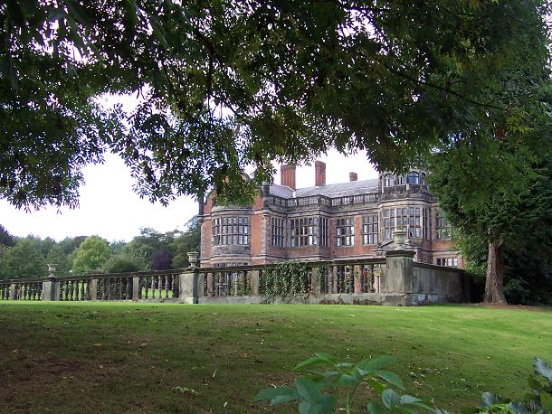
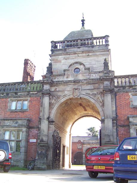
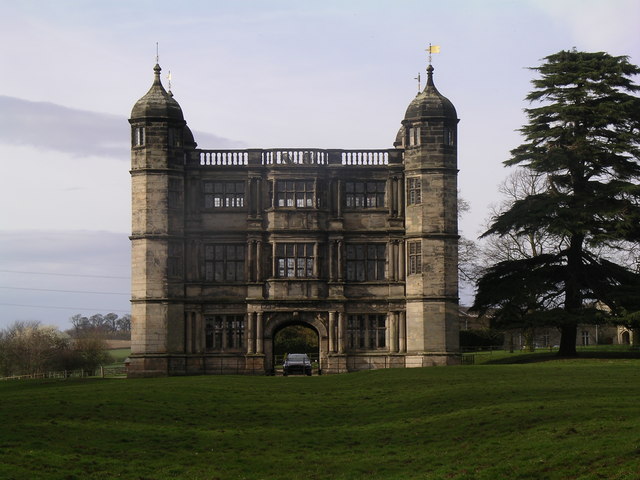
Ingestre Hall
Ingestre Hall is a Grade II* 17th-century Jacobean mansion situated at Ingestre, near Stafford, Staffordshire, England. Formerly the seat of the Earls...
Ingestre
Ingestre is a village and civil parish in the Stafford district, in the county of Staffordshire, England. The population of the civil parish taken at the...

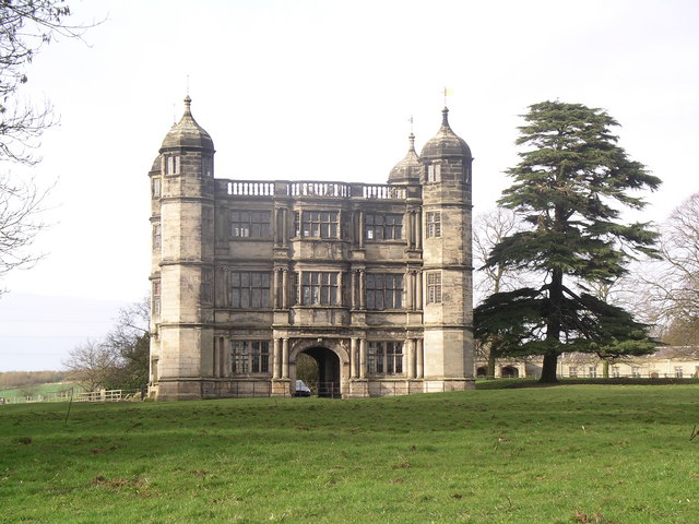
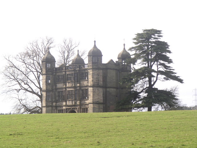
Tixall Gatehouse
Tixall Gatehouse is a 16th-century gatehouse situated at Tixall, near Stafford, Staffordshire and is all that remains of Tixall Hall which was demolished...

Tixall
Tixall is a small village and civil parish in the Stafford district, in the English county of Staffordshire lying on the western side of the Trent valley...

Bingley Hall, Stafford
Bingley Hall (also known as New Bingley Hall to distinguish itself from the Bingley Hall in Birmingham) is an exhibition hall located in Stafford, England...
Weston Road Academy
The Weston Road Academy (formerly Weston Road High School) is an academy school in Stafford, England. It provides secondary and further education for pupils...
Priory of St. Thomas near Stafford
Priory of St. Thomas near Stafford was an Augustinian religious house near Stafford, Staffordshire, England. Founded sometime in approximately 1174, it...

Tixall Wide
Tixall Wide, also known as Tixall Broad or The Broad Water, is a body of water that forms part of the Staffordshire and Worcestershire Canal near Tixall...
Nearby Amenities
Located within 500m of 52.813586,-2.0500016Have you been to Fords Belt?
Leave your review of Fords Belt below (or comments, questions and feedback).