Heron Wood

Wood, Forest in Staffordshire Staffordshire Moorlands

England

Heron Wood

Development at the old Bird in Hand A new brick skin seems to have been added to what little remains of the old pub. The ultimate intention is to create 6 mews cottages.
Development at the old Bird in Hand Credit: Ian Calderwood

Heron Wood is a picturesque forest located in Staffordshire, England. Covering an area of approximately 50 acres, it is known for its serene ambiance and rich biodiversity. The wood is situated in close proximity to the town of Stafford and is easily accessible by road.

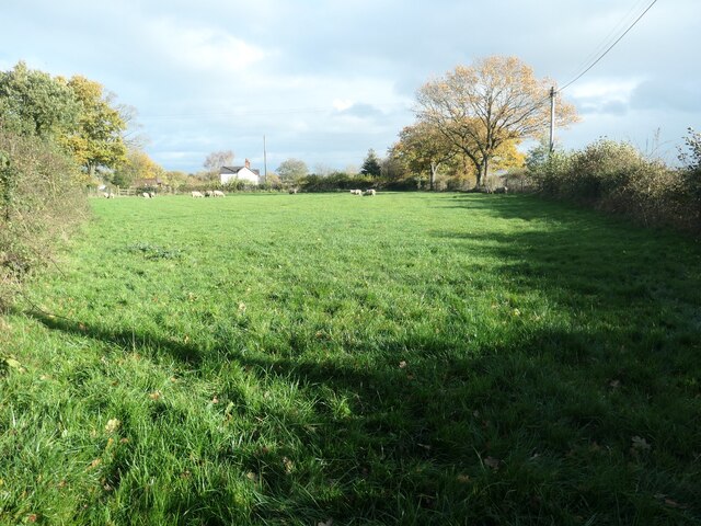
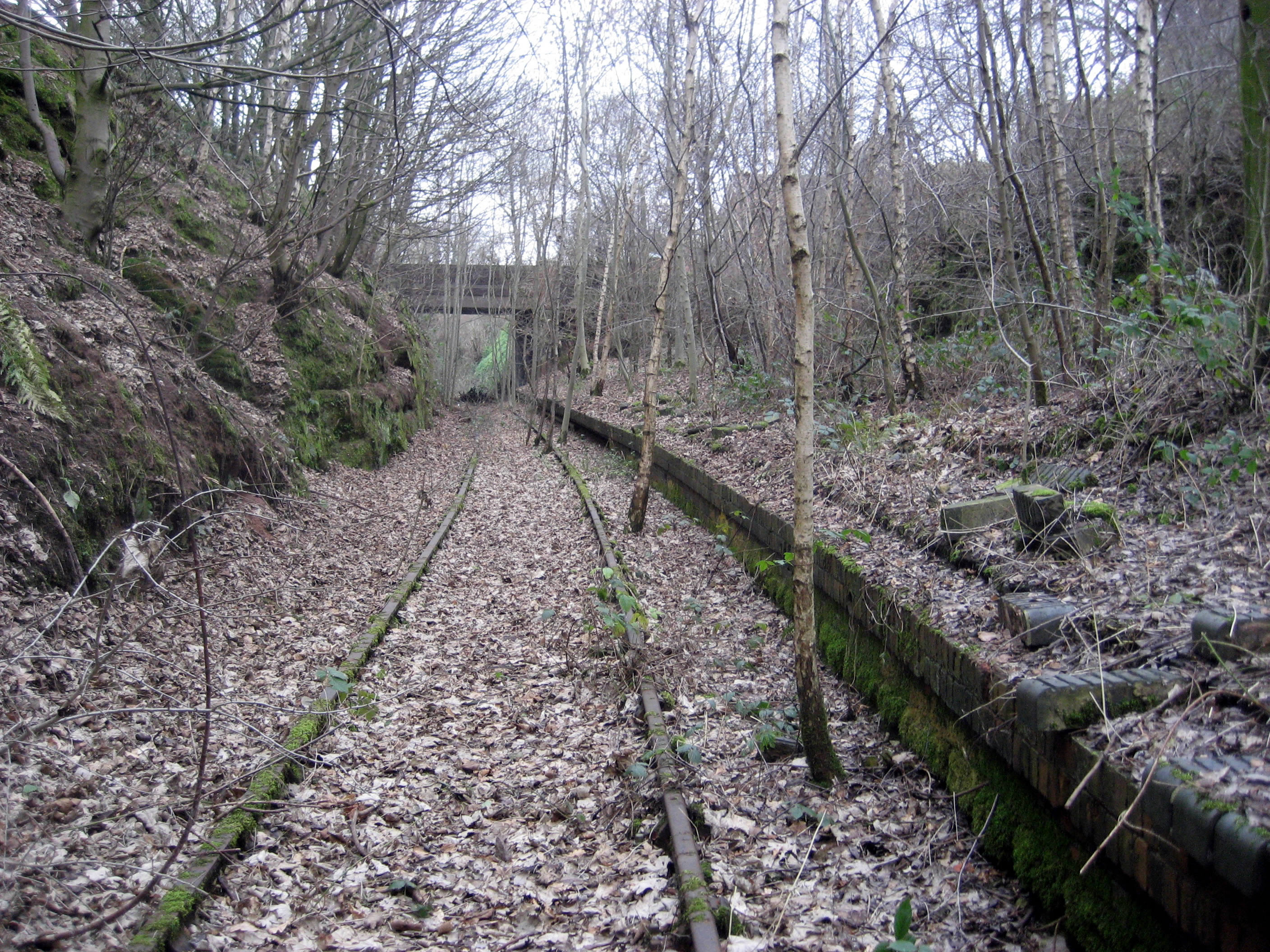
The forest is predominantly made up of deciduous trees, such as oak, beech, and birch, which provide a stunning display of colors during the autumn season. A network of well-maintained trails meanders through the wood, offering visitors the opportunity to explore its beauty on foot or by bicycle. These paths are suitable for all abilities, making it an ideal destination for families and nature enthusiasts alike.

Heron Wood is home to a diverse range of wildlife, including several species of birds, mammals, and insects. Birdwatchers can spot a variety of feathered friends, including herons, woodpeckers, and owls. The forest is also inhabited by deer, rabbits, and squirrels, adding to its natural charm.

In addition to its natural beauty, Heron Wood offers visitors various recreational activities. The forest has designated picnic areas, allowing visitors to enjoy a leisurely meal amidst the tranquil surroundings. There are also designated areas for camping and barbecuing, making it a popular spot for outdoor enthusiasts.

Overall, Heron Wood in Staffordshire is a haven for nature lovers, offering a peaceful retreat from the hustle and bustle of everyday life. With its stunning scenery, diverse wildlife, and recreational opportunities, it is a must-visit destination for anyone looking to connect with nature in Staffordshire.

If you have any feedback on the listing, please let us know in the comments section below.

Heron Wood Images

Images are sourced within 2km of 52.928956/-2.0499864 or Grid Reference SJ9636. Thanks to Geograph Open Source API. All images are credited.

Development at the old Bird in Hand A new brick skin seems to have been added to what little remains of the old pub. The ultimate intention is to create 6 mews cottages.
Development at the old Bird in Hand
A new brick skin seems to have been added to what little remains of the old pub. The ultimate intention is to create 6 mews cottages.
Track to New Buildings farm Looking westward.
Track to New Buildings farm
Looking westward.
Old Milepost by Cresswell Road, Hilderstone parish Cast iron post by the UC road, in parish of HILDERSTONE (STAFFORD District), South of Bird Grove, on grass, on Southeast side of road. Lathe iron casting, erected by the County Council in the 19th/20th century. 

Inscription reads:-
: HILDERSTONE 1 / SANDON 4½ / STAFFORD 9 : : HILDERSTONE : : CHEADLE 7½ :
Maker:-
: Chas. Lathe, Tipton. :

Staffordshire HER.
HER Number: 53358 <span class="nowrap"><a title="https://www.heritagegateway.org.uk/Gateway/Results_Single.aspx?uid=MST17124&resourceID=1010" rel="nofollow ugc noopener" href="https://www.heritagegateway.org.uk/Gateway/Results_Single.aspx?uid=MST17124&resourceID=1010">Link</a><img style="margin-left:2px;" alt="External link" title="External link - shift click to open in new window" src="https://s1.geograph.org.uk/img/external.png" width="10" height="10"/></span>

Milestone Society National ID: ST_STCD09.
Old Milepost by Cresswell Road, Hilderstone parish
Cast iron post by the UC road, in parish of HILDERSTONE (STAFFORD District), South of Bird Grove, on grass, on Southeast side of road. Lathe iron casting, erected by the County Council in the 19th/20th century. Inscription reads:- : HILDERSTONE 1 / SANDON 4½ / STAFFORD 9 : : HILDERSTONE : : CHEADLE 7½ : Maker:- : Chas. Lathe, Tipton. : Staffordshire HER. HER Number: 53358 LinkExternal link Milestone Society National ID: ST_STCD09.
Autumn trees along the road to Morrilow Heath Seen from the junction with the lane to Summerhill, at Stone Heath.
Autumn trees along the road to Morrilow Heath
Seen from the junction with the lane to Summerhill, at Stone Heath.
Signpost, Stone Heath On the wide grass verge at the minor road junction.
Signpost, Stone Heath
On the wide grass verge at the minor road junction.
Wide grass verge, Stone Heath On the south side of the minor road junction.
Wide grass verge, Stone Heath
On the south side of the minor road junction.
Public footpaths on farm access tracks The footpath and track turning left/north-west go to Stone Heath Farm. The footpath turning right/north-east goes to Morrilow Moor Farm. The track it is on serves Hawthorne and Heathy Grove Farms.
Public footpaths on farm access tracks
The footpath and track turning left/north-west go to Stone Heath Farm. The footpath turning right/north-east goes to Morrilow Moor Farm. The track it is on serves Hawthorne and Heathy Grove Farms.
Field south-east of Stone Heath Farm Grass, hedges and trees is typical of much of the farmland in this part of Staffordshire.
Field south-east of Stone Heath Farm
Grass, hedges and trees is typical of much of the farmland in this part of Staffordshire.
Sheep at Stone Heath Near Hawthorne Farm.
Sheep at Stone Heath
Near Hawthorne Farm.
Bale stack at Stone Heath Field on the east side of the minor road junction.
Bale stack at Stone Heath
Field on the east side of the minor road junction.
This way to Summerhill from Stone Heath A civil parish boundary runs down the middle of the lane.
This way to Summerhill from Stone Heath
A civil parish boundary runs down the middle of the lane.
The road from Stone Heath, heading north-west From a 222 metre spot height at High Forest Farm.
The road from Stone Heath, heading north-west
From a 222 metre spot height at High Forest Farm.
The road to Stone Heath, heading south-east At a 222 metre spot height near High Forest Farm.
The road to Stone Heath, heading south-east
At a 222 metre spot height near High Forest Farm.
Trees in a hedgerow, Sharpley Heath Just north of High Forest Farm.
Trees in a hedgerow, Sharpley Heath
Just north of High Forest Farm.
Farmland, Sharpley Heath Grass, hedges and trees is the typical mix for farmland in this part of Staffordshire.
Farmland, Sharpley Heath
Grass, hedges and trees is the typical mix for farmland in this part of Staffordshire.
Woodland, Sharpley Heath Mixed woodland was mapped in the same place in the 1880s.
Woodland, Sharpley Heath
Mixed woodland was mapped in the same place in the 1880s.
The road from Sharpley Heath Heading north-west to a junction with Cresswell Road.
The road from Sharpley Heath
Heading north-west to a junction with Cresswell Road.
Trees by a pool, south of Beech Cottage Alongside Cresswell Road. Seen from the road from Stone Heath.
Trees by a pool, south of Beech Cottage
Alongside Cresswell Road. Seen from the road from Stone Heath.
Show me another place!

Heron Wood is located at Grid Ref: SJ9636 (Lat: 52.928956, Lng: -2.0499864)

Administrative County: Staffordshire

District: Staffordshire Moorlands

Police Authority: Staffordshire

What 3 Words

///trample.suave.opposites. Near Cheadle, Staffordshire

Nearby Locations

Heron Wood

Related Wikis

Fulford, Staffordshire

Fulford is a village and civil parish about 5 miles (8 km) north east of Stone, in the Stafford district, in the county of Staffordshire, England. The...

Cresswell railway station

Cresswell railway station was a railway station located on the Stoke-Derby line at Cresswell, Staffordshire, England. It was opened by the North Staffordshire...

Cresswell, Staffordshire

Cresswell is a hamlet in Staffordshire, England. It is approximately one mile SE of Blythe Bridge and has a population of approximately 300. From the 2011...

Hilderstone

Hilderstone is a village and a civil parish in the English county of Staffordshire. == Location == The village is 8.6 miles (13.8 km) north of the town...

Draycott in the Moors

Draycott in the Moors is a village in Staffordshire, England. It is between Stoke on Trent and Uttoxeter near the River Blythe. It is two and a half miles...

Meir K.A. F.C.

Meir King's Arms Football Club was an association football club based in Stoke-on-Trent, England, established in 1972. Originally formed as the Sunday...

Tean railway station

Tean railway station was a railway station located on the Cheadle Branch Line at Totmonslow, Staffordshire. It was opened as Totmonslow in 1892 and was...

Meir Heath Cricket Club

Meir Heath Cricket Club is a cricket club and ground in Meir Heath, Staffordshire. The first recorded match on the ground was in 1991, when Staffordshire...

Nearby Amenities

Located within 500m of 52.928956,-2.0499864
Power: tower
Source: Bing
Lat/Long: 52.9322541/-2.0480921
Power: tower
Source: Bing
Lat/Long: 52.9287618/-2.0548405
Power: tower
Source: Bing
Lat/Long: 52.9304498/-2.0515468
The data included in this document is from www.openstreetmap.org. The data is made available under ODbL.

Have you been to Heron Wood?

Leave your review of Heron Wood below (or comments, questions and feedback).