Spring Coppice

Wood, Forest in Dorset

England

Spring Coppice

Field entrance and footpath
Field entrance and footpath Credit: JThomas

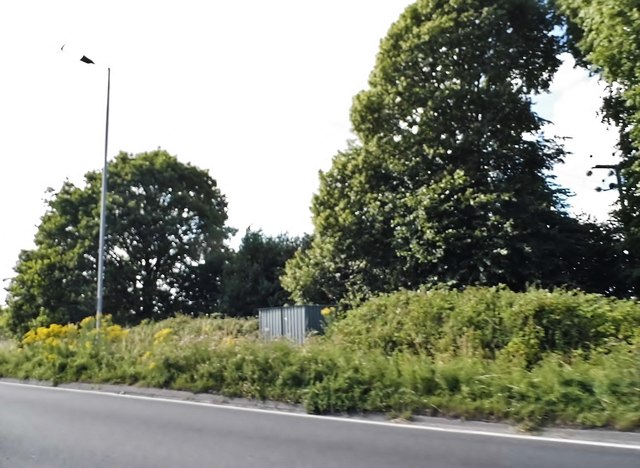
Spring Coppice is a picturesque woodland located in the county of Dorset, England. Situated amidst the rolling hills and valleys, this enchanting forest covers an area of approximately 50 acres. It is renowned for its diverse ecosystem, featuring a variety of trees, plants, and wildlife.

The woodland is predominantly composed of broadleaf trees, such as oak, beech, and ash, which create a dense canopy that provides shelter and shade. These towering trees are interspersed with vibrant patches of bluebells, wild garlic, and ferns, adding a touch of color and beauty to the forest floor.

Spring Coppice is a haven for wildlife enthusiasts, as it is home to a wide range of animal species. Birdwatchers can spot various songbirds, woodpeckers, and owls, while nature lovers may encounter badgers, foxes, and deer. The tranquil atmosphere and abundance of natural resources make it an ideal habitat for these creatures.

The forest is also popular with hikers and nature walkers, as it offers numerous trails and pathways that wind through the woodland. Visitors can explore the peaceful surroundings, enjoying the soothing sounds of birdsong and the rustling of leaves underfoot. The forest is particularly stunning in the springtime when the trees burst into leaf and the forest floor is blanketed with colorful flowers.

Overall, Spring Coppice in Dorset is a captivating woodland that showcases the beauty of nature. Its rich biodiversity, captivating landscapes, and tranquil ambiance make it a must-visit destination for anyone seeking a connection with the natural world.

If you have any feedback on the listing, please let us know in the comments section below.

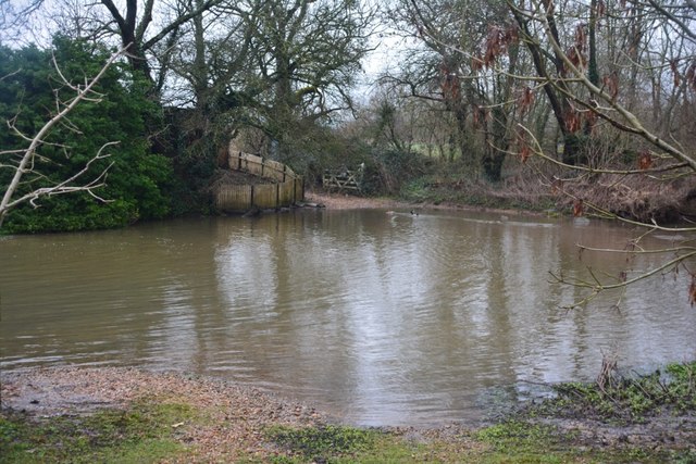
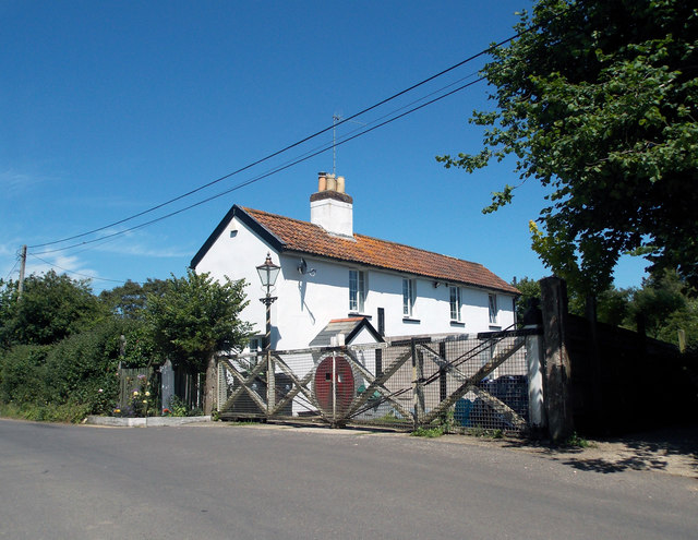
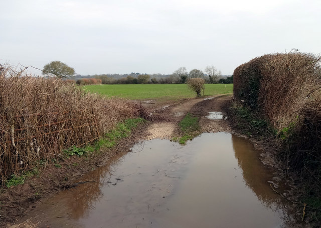
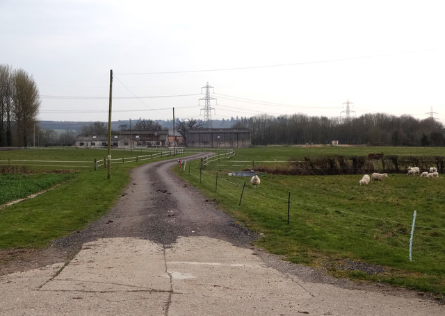
Spring Coppice Images

Images are sourced within 2km of 50.783288/-2.0567582 or Grid Reference SY9698. Thanks to Geograph Open Source API. All images are credited.

Field entrance and footpath
National Cycle Route 25
Ford At Corfe Mullen The ford at Corfe Mullen is secured by a locked pair of gates.
Ford At Corfe Mullen
The ford at Corfe Mullen is secured by a locked pair of gates.
Remains of the Somerset & Dorset Joint Railway The site of Corfe Mullen Junction, with some old crossing gates and an (extended) crossing keeper / signalman's house.
Remains of the Somerset & Dorset Joint Railway
The site of Corfe Mullen Junction, with some old crossing gates and an (extended) crossing keeper / signalman's house.
Entrance to farmland by the River Stour Rather a wet entrance to fields on the north side of the River Stour between Cowgrove and Shapwick.
Entrance to farmland by the River Stour
Rather a wet entrance to fields on the north side of the River Stour between Cowgrove and Shapwick.
Lower Barford Farm Lower Barford Farm, situated on the north bank of the River Stour.
Lower Barford Farm
Lower Barford Farm, situated on the north bank of the River Stour.
Corfe Mullen, track junction From camera and ahead, the bridleway to Old Market Road; left and right, tracks belonging to a local camping business. Upgrading of the tracks seems to have caused local controversy: <span class="nowrap"><a title="https://susanjefferies.mycouncillor.org.uk/2015/10/16/stoney-down-plantation/" rel="nofollow ugc noopener" href="https://susanjefferies.mycouncillor.org.uk/2015/10/16/stoney-down-plantation/">Link</a><img style="margin-left:2px;" alt="External link" title="External link - shift click to open in new window" src="https://s1.geograph.org.uk/img/external.png" width="10" height="10"/></span>
Corfe Mullen, track junction
From camera and ahead, the bridleway to Old Market Road; left and right, tracks belonging to a local camping business. Upgrading of the tracks seems to have caused local controversy: LinkExternal link
Corfe Mullen, power lines Crossing Stony Down Plantation.
Corfe Mullen, power lines
Crossing Stony Down Plantation.
Corfe Mullen, bridleway Through Stony Down Plantation, from Rushall Lane to Old Market Road.
Corfe Mullen, bridleway
Through Stony Down Plantation, from Rushall Lane to Old Market Road.
Roundabout on the A31, Sturminster Marshall
Woodland by the A31, Sturminster Marshall
The entrance to Vines Close Farm
Vines Close Farm
Vines Close Farm
Mill Street, Corfe Mullen
Old Milestone by the A31, north west of Sleight Stone post (plate lost) by the A31, in parish of CORFE MULLEN (EAST DORSET District), grass area opposite St Huberts church, just inside safety barrier, on South side of road. Dorset 2 (limestone), erected by the Puddletown & Wimborne turnpike trust in the 19th century. 

Inscription reads:-
DORCHESTER
20
WIMBORNE
2  

Milestone Society National ID: DO_DOWB20
Old Milestone by the A31, north west of Sleight
Stone post (plate lost) by the A31, in parish of CORFE MULLEN (EAST DORSET District), grass area opposite St Huberts church, just inside safety barrier, on South side of road. Dorset 2 (limestone), erected by the Puddletown & Wimborne turnpike trust in the 19th century. Inscription reads:- DORCHESTER 20 WIMBORNE 2 Milestone Society National ID: DO_DOWB20
Old Milestone by the A350, south east of Sturminster Marshall Carved stone post by the A350, in parish of STURMINSTER MARSHALL (EAST DORSET District), Blandford Road, 160m North of cross-roads with Station Road, in front of Burton Lux, against hedge by a row of bungalows, on West side of road. Dorset 3 (limestone), erected by the Blandford & Poole turnpike trust in the 19th century. 

Inscription reads:-
POOLE
8
BLANDFORD
6   

Milestone Society National ID: DO_POBF08.
Old Milestone by the A350, south east of Sturminster Marshall
Carved stone post by the A350, in parish of STURMINSTER MARSHALL (EAST DORSET District), Blandford Road, 160m North of cross-roads with Station Road, in front of Burton Lux, against hedge by a row of bungalows, on West side of road. Dorset 3 (limestone), erected by the Blandford & Poole turnpike trust in the 19th century. Inscription reads:- POOLE 8 BLANDFORD 6 Milestone Society National ID: DO_POBF08.
Old Milestone by the A31, Mill Street, Corfe Mullen Carved stone post by the A31, in parish of CORFE MULLEN (EAST DORSET District), 50m West of 'Coventry Arms' Pub, outside most westerly house in village, by the road, on South side of road. Dorset 3 (limestone), erected by the Blandford & Poole turnpike trust in the 19th century. 

Inscription reads:-
POOLE
6
BLANDFORD
8 

Milestone Society National ID: DO_POBFA06
Old Milestone by the A31, Mill Street, Corfe Mullen
Carved stone post by the A31, in parish of CORFE MULLEN (EAST DORSET District), 50m West of 'Coventry Arms' Pub, outside most westerly house in village, by the road, on South side of road. Dorset 3 (limestone), erected by the Blandford & Poole turnpike trust in the 19th century. Inscription reads:- POOLE 6 BLANDFORD 8 Milestone Society National ID: DO_POBFA06
Show me another place!

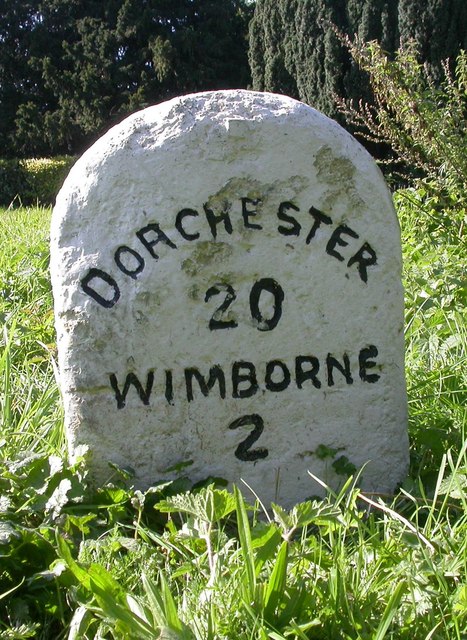
Spring Coppice is located at Grid Ref: SY9698 (Lat: 50.783288, Lng: -2.0567582)

Unitary Authority: Dorset

Police Authority: Dorset

What 3 Words

///crossword.rugs.latest. Near Sturminster Marshall, Dorset

Nearby Locations

Spring Coppice Henbury

Related Wikis

Henbury, Dorset

Henbury is a hamlet in the civil parish of Sturminster Marshall in Dorset, England. It lies on the A31 road. Henbury House is a classical Georgian house...

St. Hubert's Church, Corfe Mullen

St Hubert's Church is a 13th-century Church of England parish church in Corfe Mullen, a district of Wimborne, in the ceremonial county of Dorset, on the...

Bailey Gate railway station

Bailey Gate railway station was on the Somerset & Dorset Joint Railway in the English county of Dorset. == Usage == The station served the United Dairies...

Stoney Down

Stoney Down or Stony Down is both a hill and an area of forested countryside in the county of Dorset, England, that has been designated an "Area of Great...

Nearby Amenities

Located within 500m of 50.783288,-2.0567582
Barrier: stile
Foot: yes
Lat/Long: 50.785053/-2.0626462
Barrier: stile
Foot: yes
Lat/Long: 50.785396/-2.061497
Man Made: lamp
Lat/Long: 50.7852435/-2.0631107
Man Made: lamp
Source: GPS survey
Lat/Long: 50.7843233/-2.0624294
Man Made: lamp
Source: GPS survey
Lat/Long: 50.7843641/-2.0623437
Man Made: lamp
Source: GPS survey
Lat/Long: 50.7844422/-2.0624161
Man Made: lamp
Source: GPS survey
Lat/Long: 50.784447/-2.0626017
Man Made: lamp
Source: GPS survey
Lat/Long: 50.7847715/-2.0626767
Man Made: lamp
Source: GPS survey
Lat/Long: 50.7847842/-2.0625635
Power: pole
Lat/Long: 50.7839135/-2.0605566
Power: pole
Lat/Long: 50.7839809/-2.0590036
Material: wood
Power: pole
Lat/Long: 50.7840945/-2.0599074
Material: wood
Power: pole
Lat/Long: 50.7853168/-2.0584977
Material: wood
Power: pole
Lat/Long: 50.7858057/-2.0583306
Material: wood
Power: pole
Lat/Long: 50.7863127/-2.0581508
Material: wood
Power: pole
Lat/Long: 50.7868406/-2.0579397
Power: pole
Lat/Long: 50.787331/-2.0580458
Power: pole
Lat/Long: 50.7876918/-2.0580988
Power: pole
Lat/Long: 50.7838517/-2.0586111
Material: wood
Power: pole
Lat/Long: 50.7843272/-2.0596809
Barrier: stile
Foot: yes
Lat/Long: 50.7865846/-2.0574992
Turning Circle
Lat/Long: 50.7844464/-2.0545795
The data included in this document is from www.openstreetmap.org. The data is made available under ODbL.

Have you been to Spring Coppice?

Leave your review of Spring Coppice below (or comments, questions and feedback).