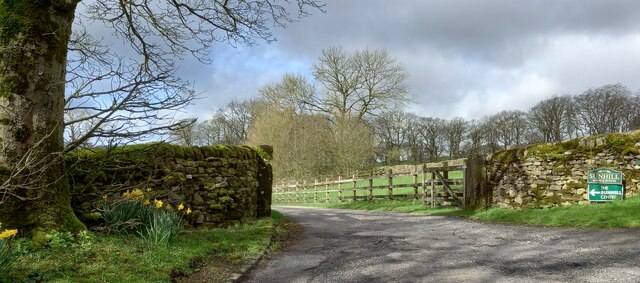
Sunhill Gill Plantation
Wood, Forest in Yorkshire Craven
England
Sunhill Gill Plantation
Sunhill Gill Plantation is a charming woodland located in the picturesque county of Yorkshire, England. Situated in the heart of the countryside, this plantation is a haven for nature enthusiasts and those seeking tranquility amidst the beauty of the natural world.
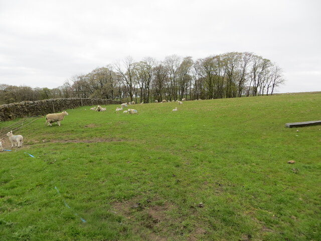
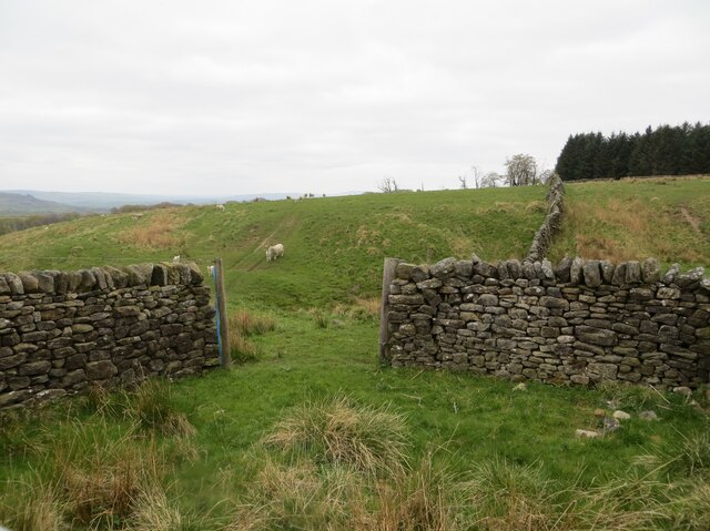
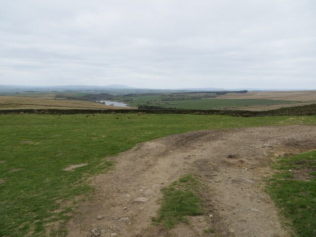
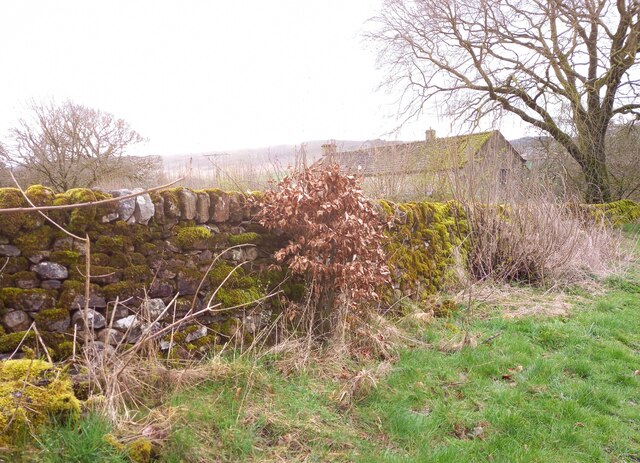
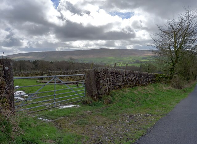
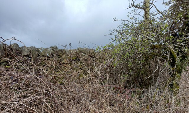
Covering an extensive area, Sunhill Gill Plantation boasts a diverse range of trees, including oak, beech, and ash, which create a stunning canopy of foliage throughout the year. The plantation is particularly renowned for its majestic woodland, providing a habitat for various wildlife species such as deer, foxes, and a plethora of bird species.
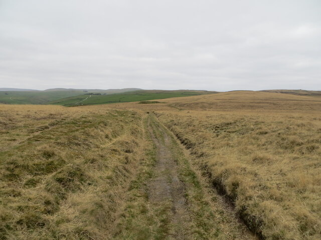
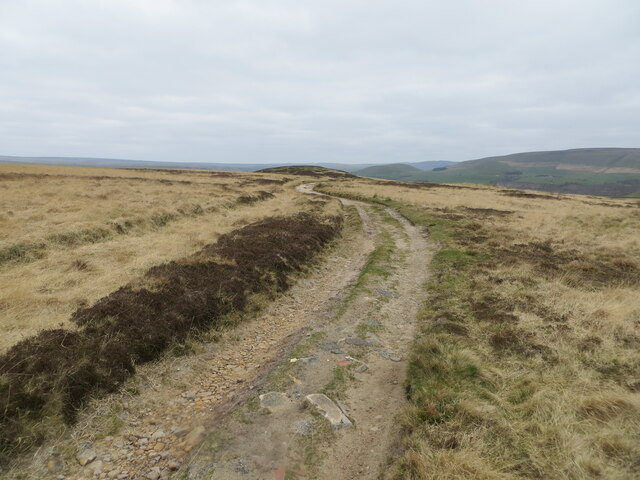
Visitors to Sunhill Gill Plantation can enjoy a network of well-maintained walking trails, allowing them to explore the enchanting woodland at their own pace. The trails take visitors deep into the heart of the forest, offering breathtaking views of the surrounding landscape and providing an opportunity to immerse themselves in the peaceful ambiance of the plantation.
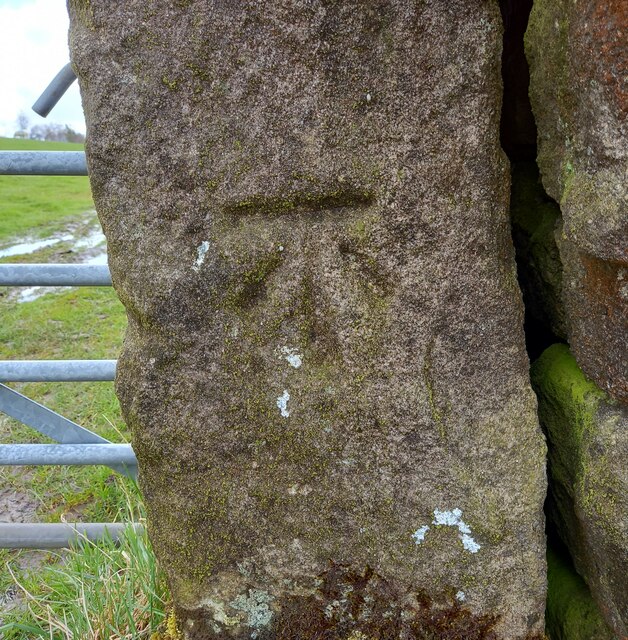
For those interested in the history of the area, Sunhill Gill Plantation has a rich past dating back centuries. The woods were once used for timber production, and remnants of old saw pits and charcoal hearths can still be found, serving as a reminder of the area's industrial heritage.
Sunhill Gill Plantation is open to the public all year round, with no admission fee. Whether one seeks a leisurely stroll, a place to reconnect with nature, or simply a serene spot for a picnic, this woodland gem in Yorkshire offers an idyllic escape from the hustle and bustle of modern life.
If you have any feedback on the listing, please let us know in the comments section below.
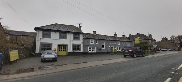
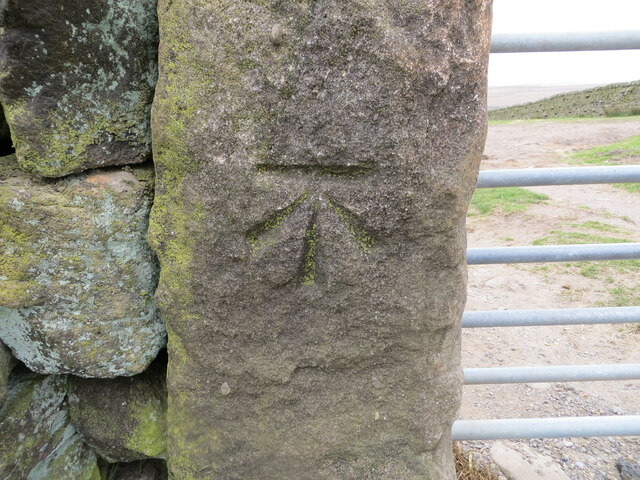
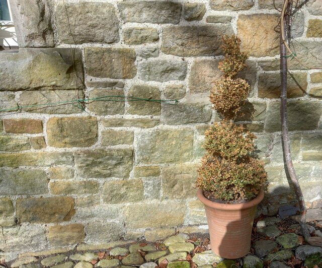
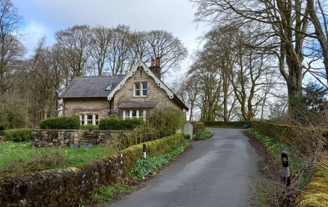
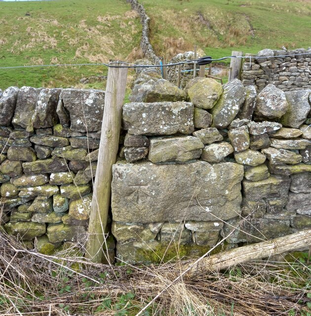
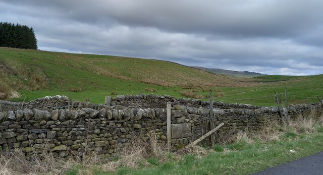
Sunhill Gill Plantation Images
Images are sourced within 2km of 54.0425/-2.060971 or Grid Reference SD9660. Thanks to Geograph Open Source API. All images are credited.
Sunhill Gill Plantation is located at Grid Ref: SD9660 (Lat: 54.0425, Lng: -2.060971)
Division: West Riding
Administrative County: North Yorkshire
District: Craven
Police Authority: North Yorkshire
What 3 Words
///freshest.client.impulses. Near Grassington, North Yorkshire
Related Wikis

Rylstone railway station
Rylstone railway station was a railway station that served the small village of Rylstone in North Yorkshire, England. It was built by the Yorkshire Dales...

Winterburn Reservoir
Winterburn Reservoir is located near the village of Winterburn in Malhamdale, North Yorkshire, England. It was constructed between 1885 and 1893 by Leeds...

Swinden Quarry
Swinden Quarry is 0.62 miles (1 km) north of the village of Cracoe, and 1.9 miles (3 km) south-west of Grassington in North Yorkshire, England. It is owned...

St Peter's Church, Rylstone
St Peter's Church is in the village of Rylstone, North Yorkshire, England. It is an active Anglican parish church in the deanery of Skipton, the archdeaconry...

Rylstone
Rylstone is a village and civil parish in the Craven district of North Yorkshire, England. It is situated very near to Cracoe and about 6 miles south west...

Hetton, North Yorkshire
Hetton is a small Dales village in the civil parish of Hetton-cum-Bordley, in the North Yorkshire district of North Yorkshire, England, situated 5.75 miles...

Cracoe
Cracoe is a small village and civil parish in the Craven district of North Yorkshire, England. It is situated near to Rylstone and about 6 miles south...

Winterburn
Winterburn is a village in the Craven district of North Yorkshire, England. It is about 5 miles (8 km) south west of Grassington. Winterburn Reservoir...
Nearby Amenities
Located within 500m of 54.0425,-2.060971Have you been to Sunhill Gill Plantation?
Leave your review of Sunhill Gill Plantation below (or comments, questions and feedback).