Black Dean
Valley in Yorkshire
England
Black Dean

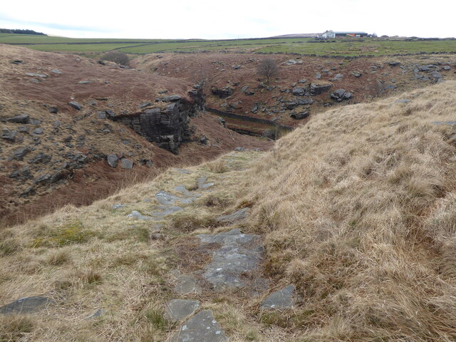
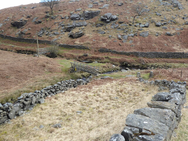
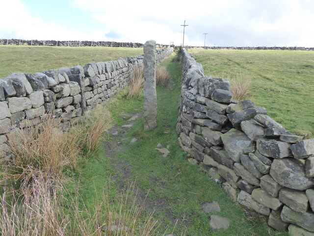
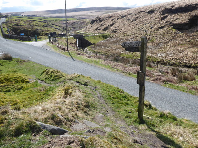
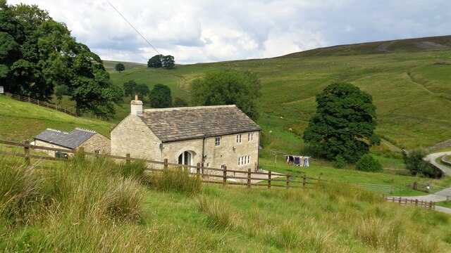
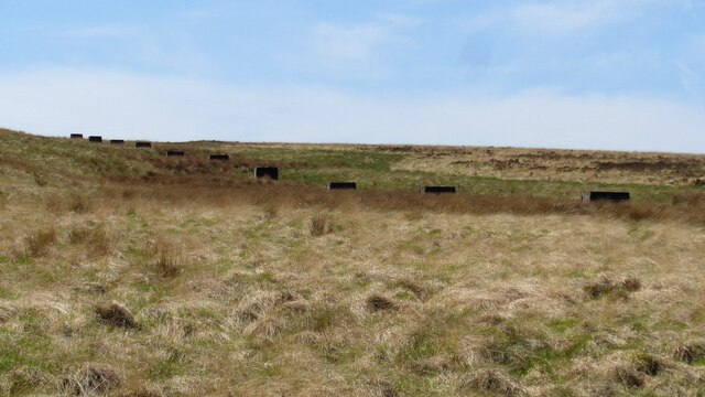
Black Dean is a small village located in the picturesque Yorkshire Valley, nestled amidst the stunning landscape of Northern England. Situated in the county of Yorkshire, Black Dean is renowned for its idyllic charm and captivating natural beauty. The village is surrounded by rolling hills, lush meadows, and ancient woodlands, making it a haven for nature enthusiasts and outdoor adventurers.
The community of Black Dean is closely-knit, with a population of around 500 residents. The village exudes a tranquil and peaceful atmosphere, offering a respite from the hustle and bustle of city life. Visitors can expect warm and friendly locals who take immense pride in their village and its heritage.
Historically, Black Dean has been an agricultural hub, with farming playing a crucial role in the local economy. The village is dotted with traditional stone-built houses, some dating back several centuries, adding to its old-world charm. The local church, St. Mary's, is a prominent landmark and serves as a focal point for religious and social gatherings.
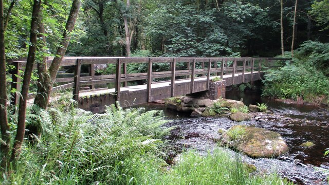
Outdoor activities abound in Black Dean, with numerous walking trails and cycling routes that showcase the breathtaking scenery. The nearby Yorkshire Dales National Park offers opportunities for hiking, birdwatching, and exploring ancient ruins. Additionally, the village is home to a quaint pub, The Black Horse Inn, where visitors can indulge in traditional Yorkshire cuisine and experience the warm hospitality of the locals.
In conclusion, Black Dean is a hidden gem in the Yorkshire Valley, offering visitors a chance to immerse themselves in the beauty of the English countryside while experiencing the rich heritage and warm community spirit that defines this charming village.
If you have any feedback on the listing, please let us know in the comments section below.
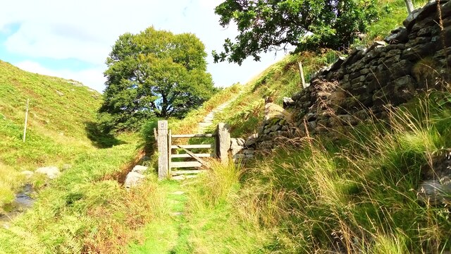
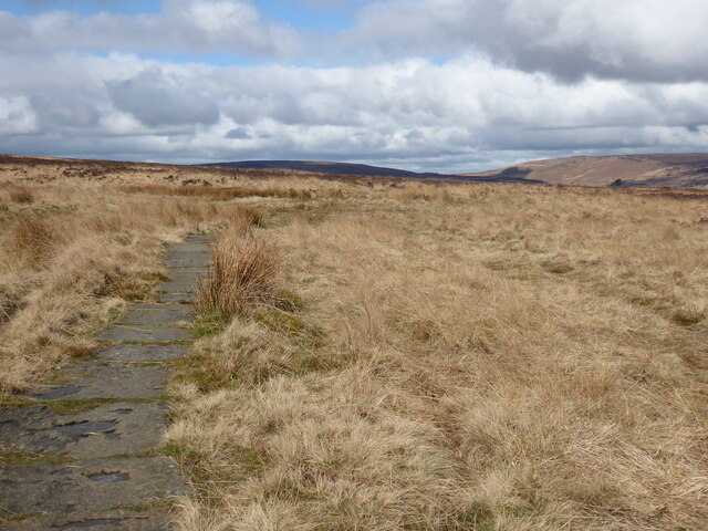
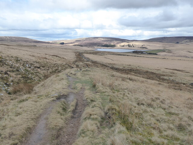
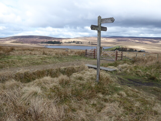
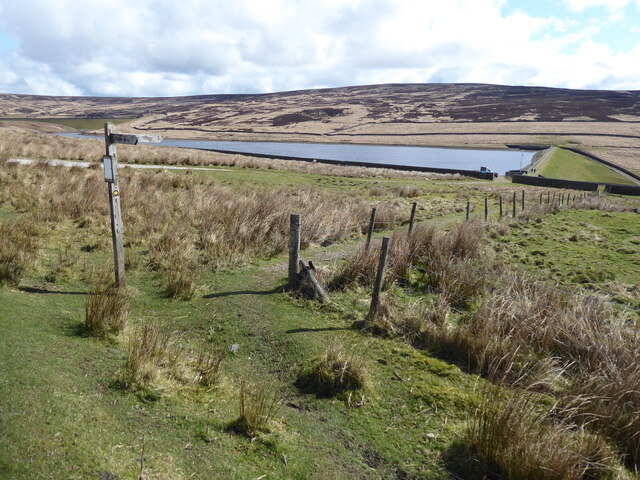
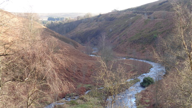
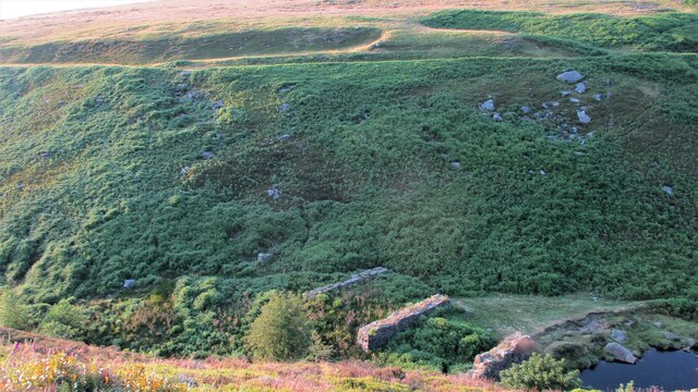
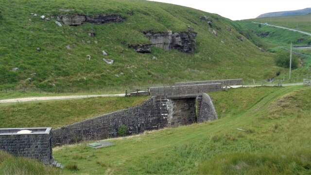
Black Dean Images
Images are sourced within 2km of 53.778413/-2.0586132 or Grid Reference SD9631. Thanks to Geograph Open Source API. All images are credited.
Black Dean is located at Grid Ref: SD9631 (Lat: 53.778413, Lng: -2.0586132)
Division: West Riding
Unitary Authority: Calderdale
Police Authority: West Yorkshire
What 3 Words
///ballooned.seashell.vivid. Near Hebden Bridge, West Yorkshire
Nearby Locations
Related Wikis

Blake Dean Railway
The Blake Dean Railway was an approximately 5.5 miles (9 km) long 3 ft (914 mm) gauge narrow gauge railway on the edge of Hardcastle Crags Valley in West...

Hardcastle Crags
Hardcastle Crags is a wooded Pennine valley in West Yorkshire, England, owned by the National Trust. Historically part of the West Riding of Yorkshire...

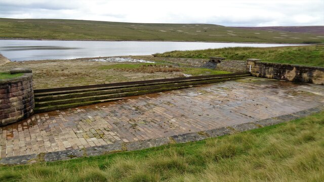
Walshaw Dean Reservoirs
Walshaw Dean Reservoirs are three reservoirs situated above Hebden Bridge, West Yorkshire, England. They are between Hebden Bridge and Top Withins, a ruined...

Colden, West Yorkshire
Colden is a hamlet in the civil parish of Heptonstall in Calderdale, West Yorkshire, England. Historically part of the West Riding of Yorkshire, the hamlet...

Heptonstall
Heptonstall is a small village and civil parish within the Calderdale borough of West Yorkshire, England, historically part of the West Riding of Yorkshire...

Blackshaw
Blackshaw is a civil parish in the Calderdale metropolitan borough of West Yorkshire, England. It contains the village of Blackshaw Head. According to...

South Pennines Regional Park
The South Pennines Regional Park (or South Pennines Park) is a proposed national park that would cover the South Pennines area in Northern England, encompassing...

Wainsgate Baptist Church
Wainsgate Baptist Church is a redundant chapel standing in an elevated position above the town of Hebden Bridge, West Yorkshire, England (grid reference...
Nearby Amenities
Located within 500m of 53.778413,-2.0586132Have you been to Black Dean?
Leave your review of Black Dean below (or comments, questions and feedback).