New Laithe Moor
Downs, Moorland in Yorkshire
England
New Laithe Moor
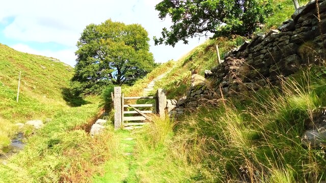
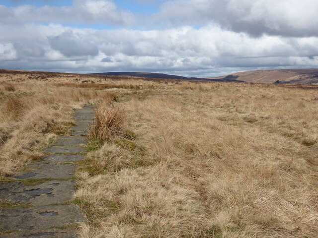
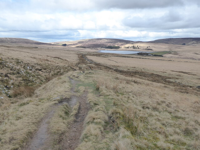
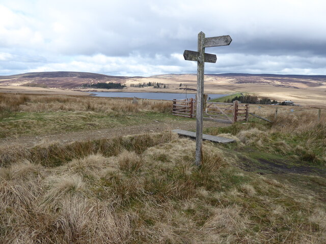
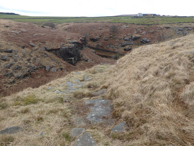
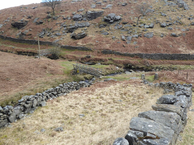
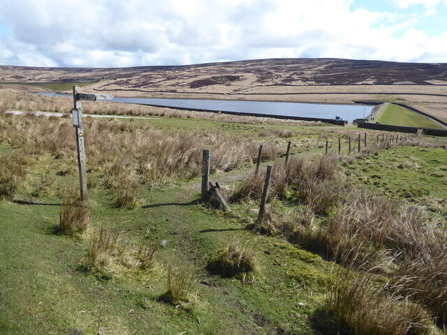
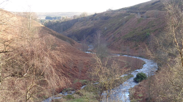
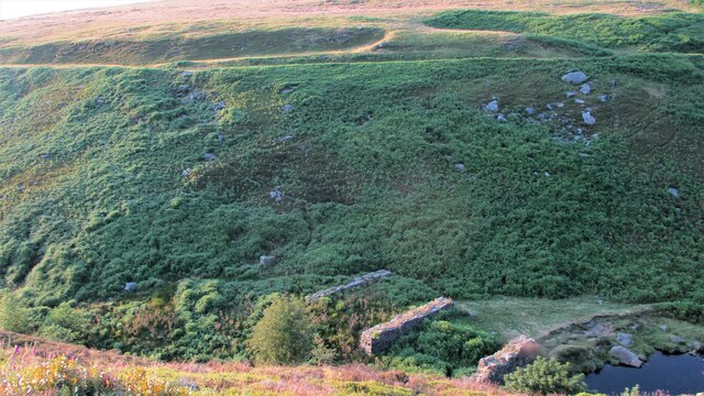
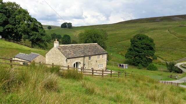
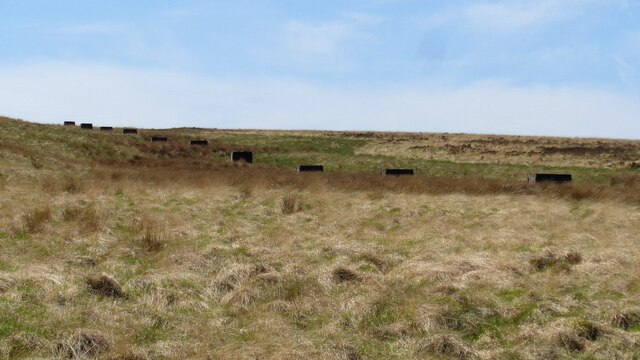
New Laithe Moor is a stunning expanse of moorland located in the county of Yorkshire, England. Situated in the heart of the Yorkshire Dales National Park, this captivating landscape is known for its breathtaking beauty and rich biodiversity. Spanning over several square miles, New Laithe Moor boasts a diverse range of habitats, including heather-covered hills, rolling grasslands, and scattered woodlands.
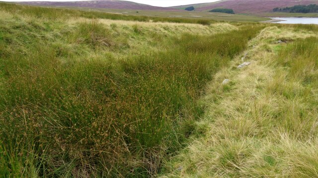
The moorland is characterized by its undulating terrain, with gentle slopes and occasional rocky outcrops offering panoramic views of the surrounding countryside. The area is famous for its vibrant purple hues during the summer months when the heather is in full bloom, creating a picturesque and idyllic scene.
Wildlife thrives in this natural haven, with several species making New Laithe Moor their home. Visitors might be lucky enough to spot curlews, lapwings, and golden plovers, which are among the many bird species that frequent the moorland. The moor is also home to various mammals, including hares, foxes, and deer, which can often be seen roaming freely across the landscape.
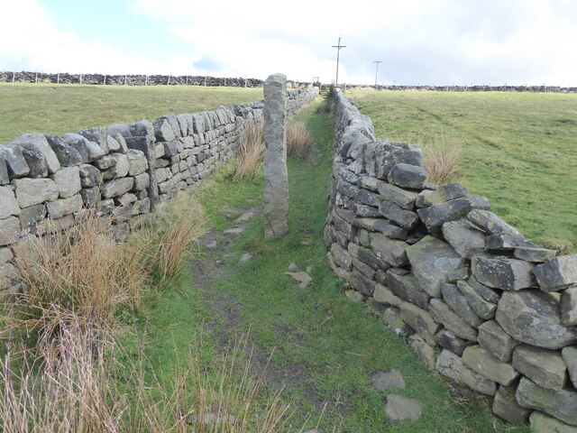
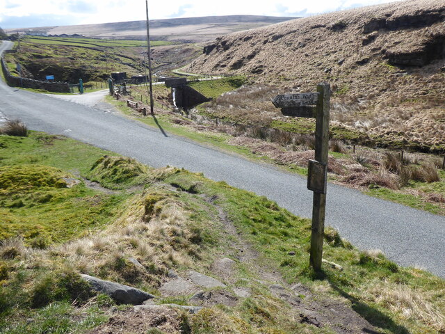
New Laithe Moor offers an array of walking trails, catering to both casual strollers and avid hikers. The trails wind through the moorland, allowing visitors to immerse themselves in the tranquility of nature while enjoying the stunning vistas. The moorland is also a popular spot for outdoor activities such as picnicking, photography, and wildlife observation.
For those seeking a peaceful retreat into nature, New Laithe Moor is a must-visit destination. With its captivating beauty and diverse ecosystems, this Yorkshire gem offers an unforgettable experience for nature enthusiasts and adventure seekers alike.
If you have any feedback on the listing, please let us know in the comments section below.
New Laithe Moor Images
Images are sourced within 2km of 53.782403/-2.0616237 or Grid Reference SD9631. Thanks to Geograph Open Source API. All images are credited.

New Laithe Moor is located at Grid Ref: SD9631 (Lat: 53.782403, Lng: -2.0616237)
Division: West Riding
Unitary Authority: Calderdale
Police Authority: West Yorkshire
What 3 Words
///move.steep.covenants. Near Hebden Bridge, West Yorkshire
Nearby Locations
Related Wikis

Blake Dean Railway
The Blake Dean Railway was an approximately 5.5 miles (9 km) long 3 ft (914 mm) gauge narrow gauge railway on the edge of Hardcastle Crags Valley in West...

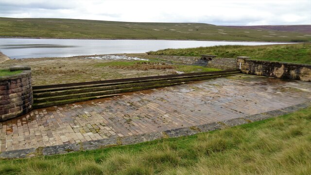
Walshaw Dean Reservoirs
Walshaw Dean Reservoirs are three reservoirs situated above Hebden Bridge, West Yorkshire, England. They are between Hebden Bridge and Top Withins, a ruined...

Hardcastle Crags
Hardcastle Crags is a wooded Pennine valley in West Yorkshire, England, owned by the National Trust. Historically part of the West Riding of Yorkshire...

Colden, West Yorkshire
Colden is a hamlet in the civil parish of Heptonstall in Calderdale, West Yorkshire, England. Historically part of the West Riding of Yorkshire, the hamlet...

Heptonstall
Heptonstall is a small village and civil parish within the Calderdale borough of West Yorkshire, England, historically part of the West Riding of Yorkshire...

Top Withens
Top Withens (SD981353) (also known as Top Withins) is a ruined farmhouse near Haworth, West Yorkshire, England, which is said to have been the inspiration...

Blackshaw
Blackshaw is a civil parish in the Calderdale metropolitan borough of West Yorkshire, England. It contains the village of Blackshaw Head. According to...

South Pennines Regional Park
The South Pennines Regional Park (or South Pennines Park) is a proposed national park that would cover the South Pennines area in Northern England, encompassing...
Nearby Amenities
Located within 500m of 53.782403,-2.0616237Have you been to New Laithe Moor?
Leave your review of New Laithe Moor below (or comments, questions and feedback).