Rag Hole Clough

Valley in Lancashire

England

Rag Hole Clough

Cold Greave View looking down the path leading to Cold Greave.
Cold Greave Credit: Peter McDermott

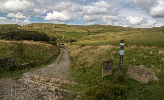
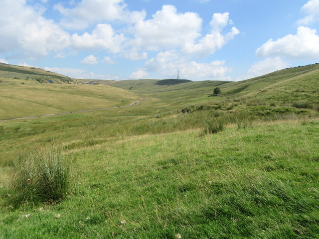
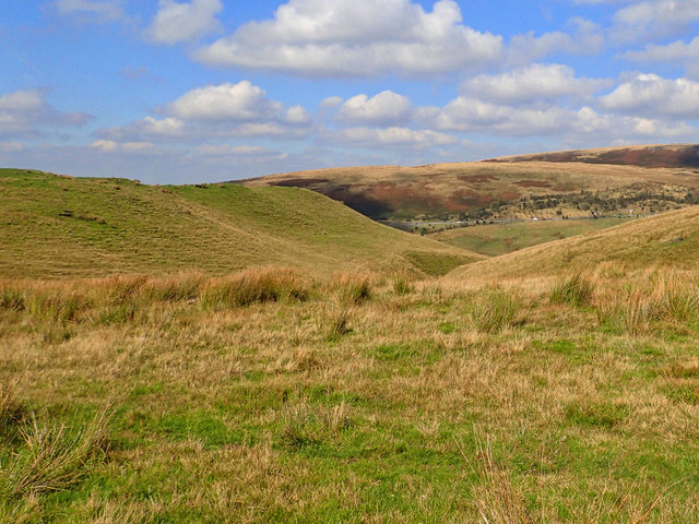
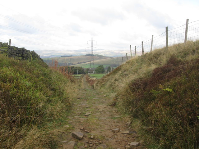
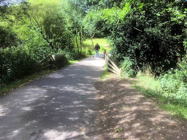
Rag Hole Clough is a scenic valley located in Lancashire, England. Nestled within the Pennine Hills, this enchanting landscape is renowned for its natural beauty and tranquil atmosphere. The clough stretches for approximately 2 kilometers, with its picturesque surroundings captivating visitors throughout the year.

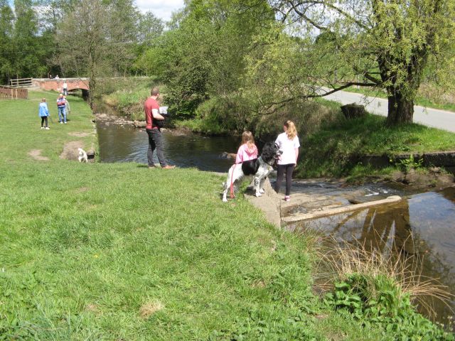
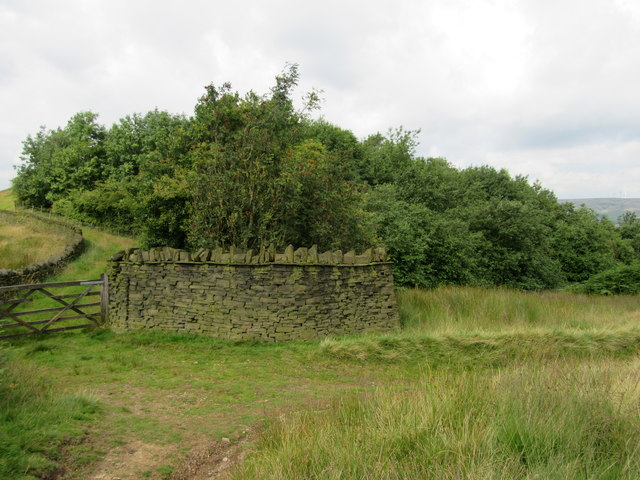
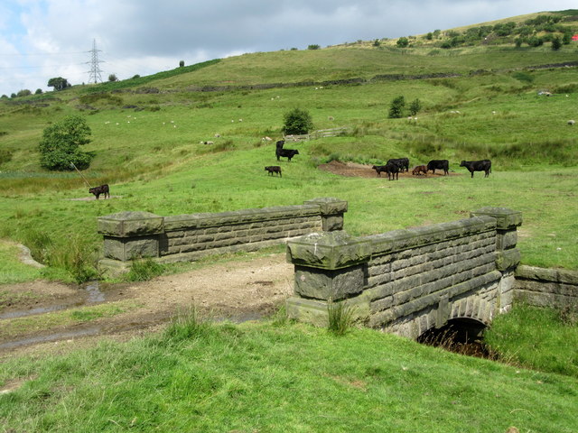
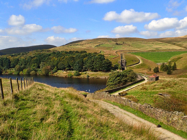
The valley is characterized by lush green meadows, rolling hills, and a meandering stream that flows through its heart. Rag Hole Clough boasts a diverse ecosystem, with a variety of flora and fauna thriving in its fertile soil. Native species such as oak, beech, and birch trees dot the landscape, creating a vibrant and colorful setting, especially during the autumn months when the leaves change their hues.

The clough is a haven for wildlife enthusiasts, as it is home to a plethora of animal species. Visitors may spot deer, hares, foxes, and a wide array of bird species including woodpeckers, owls, and thrushes. The tranquility of the valley makes it an ideal destination for birdwatching and nature photography.

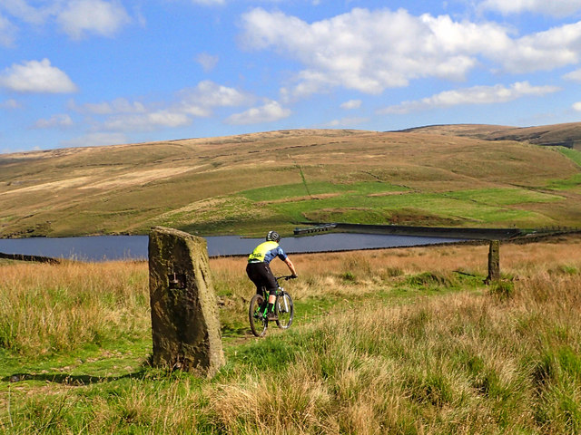
A network of footpaths and trails crisscross the area, providing ample opportunities for hikers and walkers to explore the valley. The clough is also intersected by the Pennine Way, a long-distance trail that attracts outdoor enthusiasts from all over the country.

Rag Hole Clough offers a peaceful retreat for those seeking solace in nature's embrace. Its breathtaking scenery, diverse wildlife, and accessibility make it a must-visit destination for anyone exploring Lancashire's natural wonders.

If you have any feedback on the listing, please let us know in the comments section below.

Rag Hole Clough Images

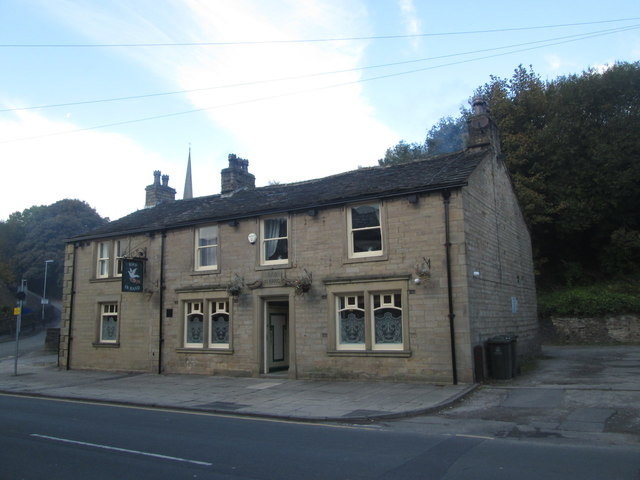
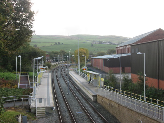
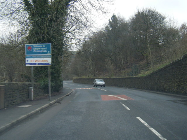
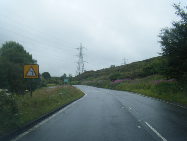
Images are sourced within 2km of 53.612088/-2.0755673 or Grid Reference SD9512. Thanks to Geograph Open Source API. All images are credited.

Cold Greave View looking down the path leading to Cold Greave.
Cold Greave
View looking down the path leading to Cold Greave.
Longden End Brook The brook passes over a gauging weir as it approaches Hollingworth Lake, a popular place for swimming dogs, it seems, though my assistant Madog is staying dry for a change.
Longden End Brook
The brook passes over a gauging weir as it approaches Hollingworth Lake, a popular place for swimming dogs, it seems, though my assistant Madog is staying dry for a change.
Wall and wood Adjacent to the Pennine Bridleway.
Wall and wood
Adjacent to the Pennine Bridleway.
Bridge over Longden End Brook
Valley of Longden End Brook
Looking down into Longden End Brook
Piethorne Reservoir It's always good to explore a new area. Bleakedgate Moor, in the South Pennines south of the M62 is an area I have never been on. As the name says a bleak place, with hard gritstone tracks, tussocky moorland and black peaty bogs. But a warm, sunny day and a pleasant break on the way back from Manchester.

This is Piethorne Reservoir, built in the 1860s, it is one of several reservoirs in the Piethorne Valley to provide a water supply to the people of Oldham.
Piethorne Reservoir
It's always good to explore a new area. Bleakedgate Moor, in the South Pennines south of the M62 is an area I have never been on. As the name says a bleak place, with hard gritstone tracks, tussocky moorland and black peaty bogs. But a warm, sunny day and a pleasant break on the way back from Manchester. This is Piethorne Reservoir, built in the 1860s, it is one of several reservoirs in the Piethorne Valley to provide a water supply to the people of Oldham.
Norman Hill Reservoir
Byway towards Higher Ogden
Buildings at Lower Ogden
Bulls Head near Lower Ogden
Bird in the Hand, Newhey The pub sign has gone but I don't know whether this means it is closed
Bird in the Hand, Newhey
The pub sign has gone but I don't know whether this means it is closed
Bird in Hand pub, Newhey Not to be confused with Bird in the Hand further along Huddersfield Road
Bird in Hand pub, Newhey
Not to be confused with Bird in the Hand further along Huddersfield Road
Newhey Metrolink station
A663 at Shaw and Crompton boundary
Hollingworth Lake Country Park
A640 Huddersfield Road near Haugh Hey
Ordnance Survey Flush Bracket (S8653) This OS Flush Bracket can be found on the SE face of the school. It marks a point 164.924m above mean sea level.
Ordnance Survey Flush Bracket (S8653)
This OS Flush Bracket can be found on the SE face of the school. It marks a point 164.924m above mean sea level.
Show me another place!

Rag Hole Clough is located at Grid Ref: SD9512 (Lat: 53.612088, Lng: -2.0755673)

Unitary Authority: Rochdale

Police Authority: Greater Manchester

What 3 Words

///toned.formless.mourner. Near Milnrow, Manchester

Related Wikis

Ogden Reservoir (Greater Manchester)

Ogden Reservoir is a reservoir in the Piethorne Valley, close to Milnrow and Newhey in the Metropolitan Borough of Rochdale, within Greater Manchester...

Tunshill

Tunshill is a hamlet at the northeastern edge of Milnrow, within the Metropolitan Borough of Rochdale, in Greater Manchester, England. It lies amongst...

Kitcliffe Reservoir

Kitcliffe Reservoir is a reservoir in Piethorne Valley in between Ogden and Piethorne Reservoirs in the Metropolitan Borough of Rochdale, within Greater...

Rakewood Viaduct

The Rakewood Viaduct carries the M62 motorway over Rakewood Valley and Longden End Brook between junctions 21 and 22 at Littleborough, Greater Manchester...

Nearby Amenities

Located within 500m of 53.612088,-2.0755673
Dick Hill
Ele: 308
Natural: peak
Source: npe
Lat/Long: 53.6161704/-2.0772704
Power: tower
Lat/Long: 53.6149245/-2.0704804
Power: tower
Lat/Long: 53.613435/-2.0696962
Power: tower
Lat/Long: 53.6113593/-2.06863
Barrier: stile
Lat/Long: 53.6118862/-2.0763018
Barrier: stile
Lat/Long: 53.6129728/-2.0796279
Disused mine shaft
Source: bing, Survey
Lat/Long: 53.6130522/-2.0795634
Bench
Lat/Long: 53.6120494/-2.0744947
The data included in this document is from www.openstreetmap.org. The data is made available under ODbL.

Have you been to Rag Hole Clough?

Leave your review of Rag Hole Clough below (or comments, questions and feedback).