Piethorne Plantation
Wood, Forest in Lancashire
England
Piethorne Plantation
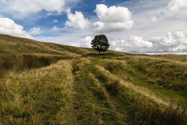
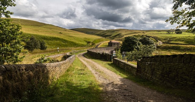
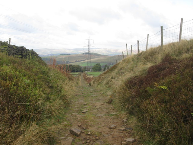
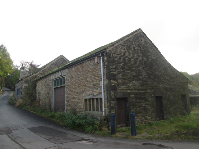
Piethorne Plantation is a sprawling woodland area located in the county of Lancashire, England. Situated near the village of Newhey, the plantation covers a vast expanse of approximately 100 hectares. Its dense forest is predominantly composed of various species of trees, including oak, beech, and birch, creating a picturesque landscape that attracts visitors throughout the year.
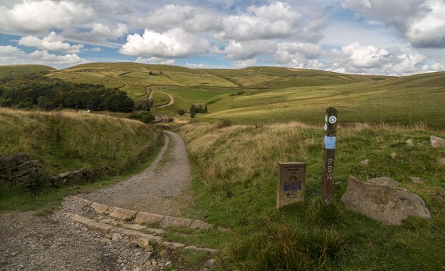
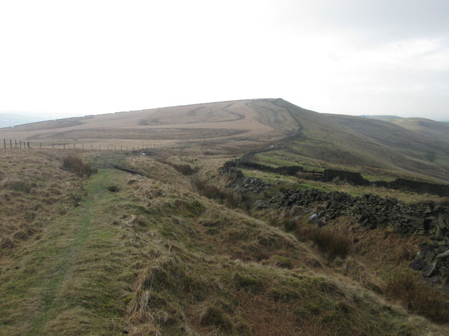
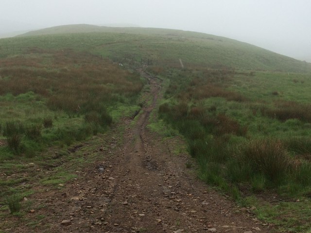
The plantation offers a tranquil retreat for nature enthusiasts, providing ample opportunities for outdoor activities such as walking, jogging, and birdwatching. Its well-maintained footpaths meander through the enchanting woods, offering visitors the chance to explore the diverse flora and fauna that thrives in the area. Wildlife is abundant, with sightings of deer, foxes, and a myriad of bird species being common occurrences.
Piethorne Plantation is also home to a wide range of plant life, with vibrant wildflowers carpeting the forest floor during the spring and summer months. The plantation boasts a rich biodiversity, with a number of rare and protected species finding refuge within its boundaries.
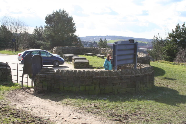
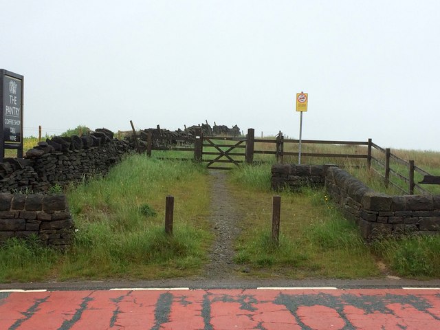
The plantation is easily accessible, with ample parking facilities available for visitors. Additionally, there are picnic areas and benches scattered throughout the woods, providing the perfect setting for a peaceful lunch or a moment of relaxation amidst nature.
Overall, Piethorne Plantation offers a haven of natural beauty and tranquility, making it a popular destination for both locals and tourists seeking respite from the hustle and bustle of everyday life.
If you have any feedback on the listing, please let us know in the comments section below.
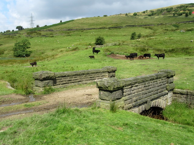
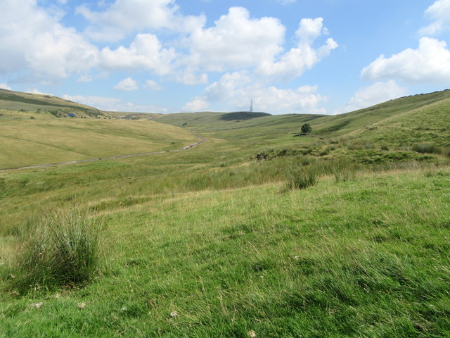
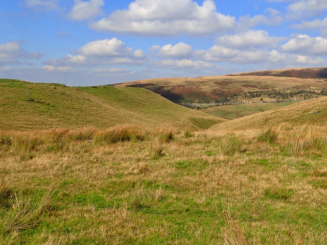
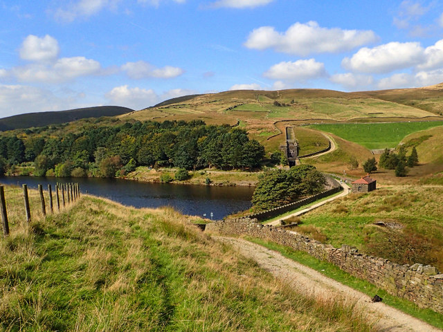
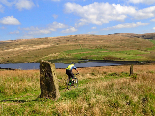
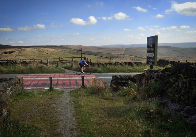
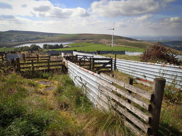
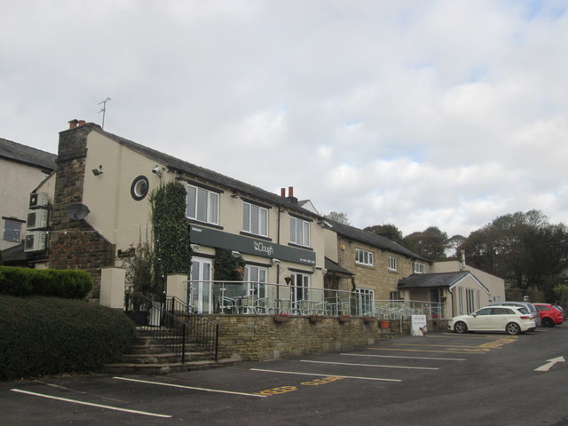
Piethorne Plantation Images
Images are sourced within 2km of 53.607349/-2.0631659 or Grid Reference SD9512. Thanks to Geograph Open Source API. All images are credited.
Piethorne Plantation is located at Grid Ref: SD9512 (Lat: 53.607349, Lng: -2.0631659)
Unitary Authority: Rochdale
Police Authority: Greater Manchester
What 3 Words
///laminated.vanish.outnumber. Near Milnrow, Manchester
Nearby Locations
Related Wikis

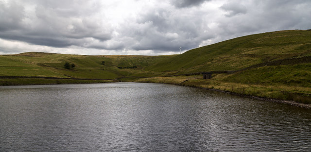
Kitcliffe Reservoir
Kitcliffe Reservoir is a reservoir in Piethorne Valley in between Ogden and Piethorne Reservoirs in the Metropolitan Borough of Rochdale, within Greater...

Piethorne Reservoir
Piethorne Reservoir is the largest of several reservoirs in the Piethorne Valley above Newhey, by Milnrow, in the Metropolitan Borough of Rochdale, Greater...

Ogden Reservoir (Greater Manchester)
Ogden Reservoir is a reservoir in the Piethorne Valley, close to Milnrow and Newhey in the Metropolitan Borough of Rochdale, within Greater Manchester...
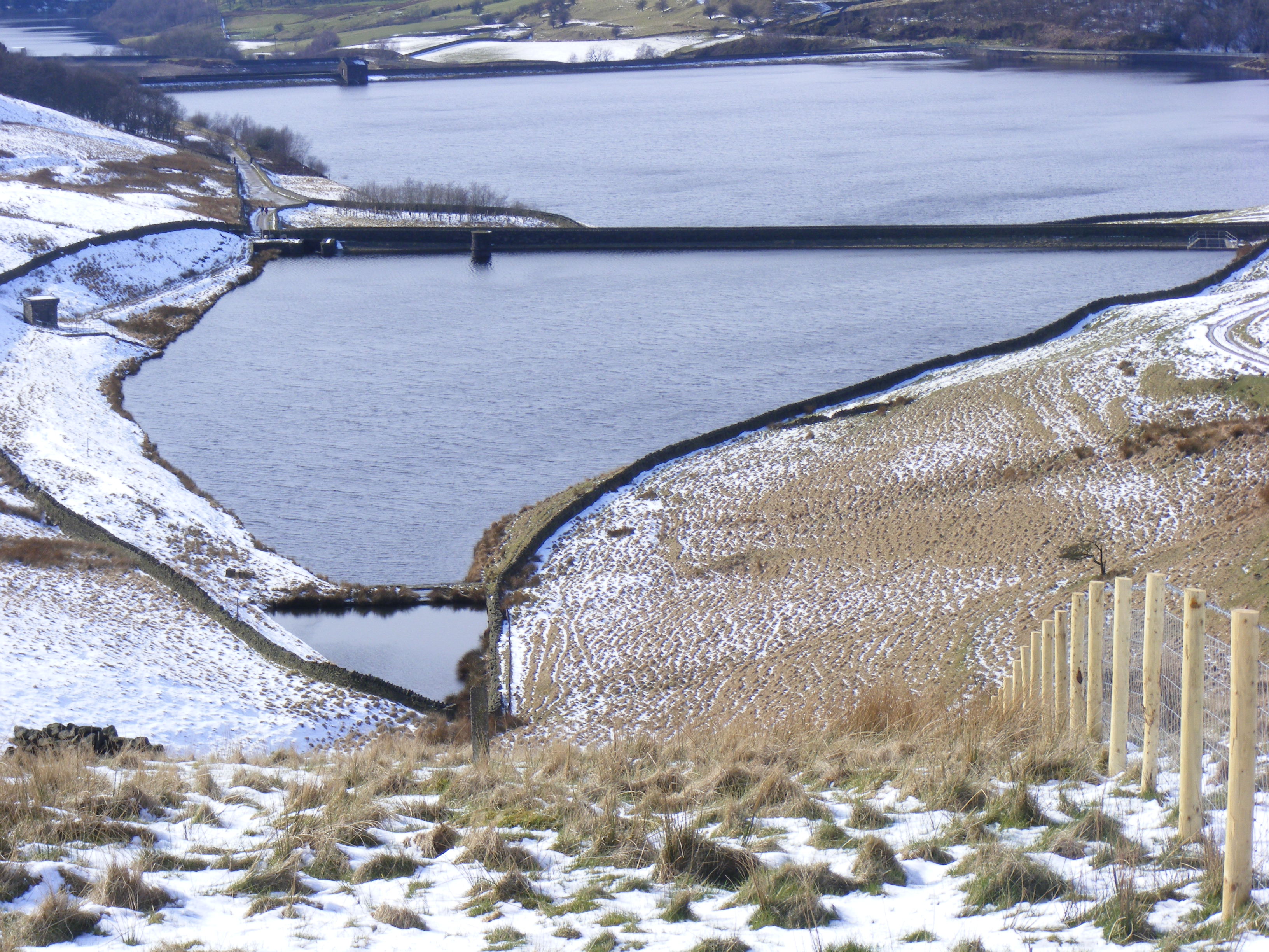
Hanging Lees Reservoir
Hanging Lees Reservoir is a small reservoir in the Piethorne Valley in the Metropolitan Borough of Rochdale, within Greater Manchester, England. It is...

Norman Hill Reservoir
Norman Hill Reservoir is a reservoir in the Piethorne Valley in the Metropolitan Borough of Rochdale, within Greater Manchester, England. == References ==

Rooden Reservoir
Rooden Reservoir is a reservoir in the Piethorne Valley in the Metropolitan Borough of Rochdale, within Greater Manchester, England. It is close to Denshaw...

Tunshill
Tunshill is a hamlet at the northeastern edge of Milnrow, within the Metropolitan Borough of Rochdale, in Greater Manchester, England. It lies amongst...

Crompton Moor
Crompton Moor (archaically known as High Moor) is an area of moorland in the South Pennines, in North West England. It lies along the northeastern outskirts...
Nearby Amenities
Located within 500m of 53.607349,-2.0631659Have you been to Piethorne Plantation?
Leave your review of Piethorne Plantation below (or comments, questions and feedback).