Higher Ogden

Settlement in Lancashire

England

Higher Ogden

Kitcliffe Track above Kitcliffe.
Kitcliffe Credit: Peter McDermott

Higher Ogden is a small village located in the borough of Rossendale, Lancashire, England. Situated in the South Pennines, it is nestled within a rural and picturesque landscape, offering stunning views of the surrounding countryside. The village is part of the larger civil parish of Newchurch, which includes several other nearby hamlets.

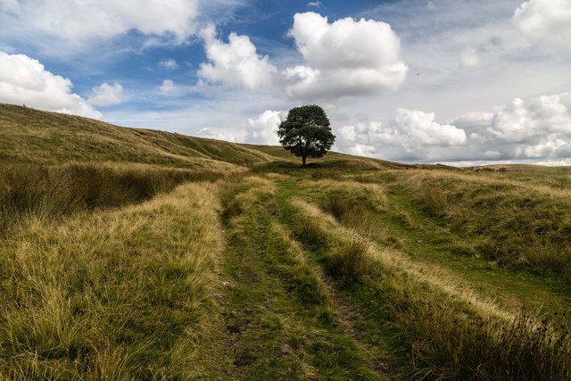
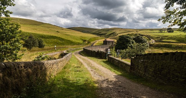
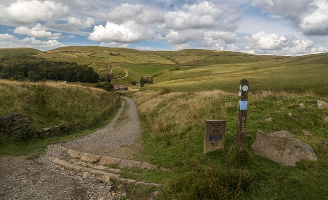
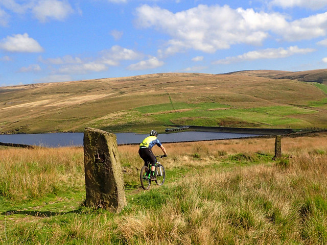
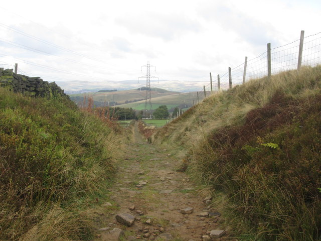
Higher Ogden is known for its tranquil and idyllic setting, making it a popular destination for those seeking a peaceful retreat or outdoor pursuits. The area is characterized by rolling hills, meandering rivers, and lush green fields, providing ample opportunities for walking, hiking, and cycling. The village is also within close proximity to the beautiful Forest of Rossendale, a designated Area of Outstanding Natural Beauty.

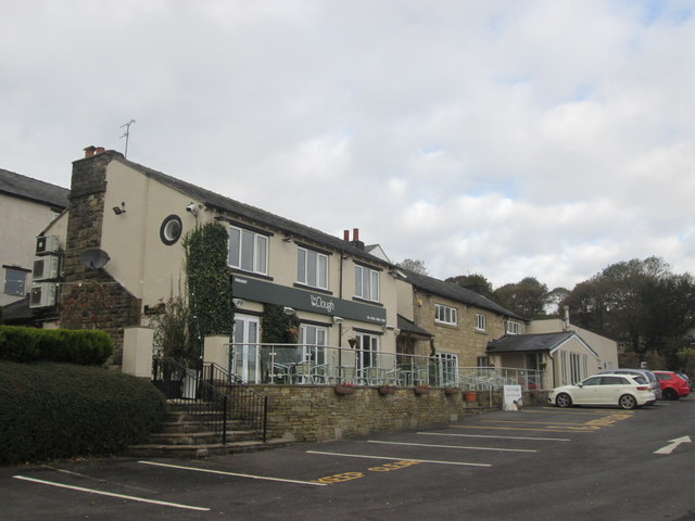
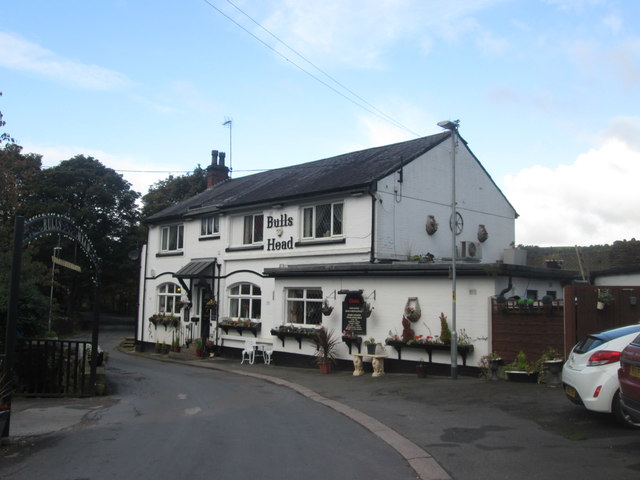
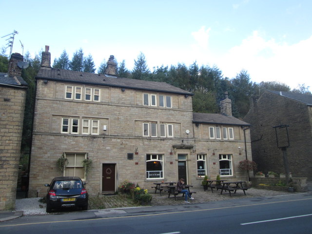
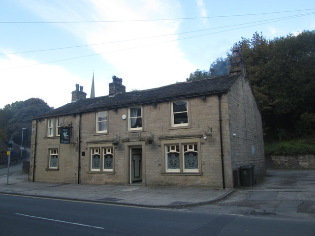
Although small in size, Higher Ogden has a strong sense of community and offers a range of amenities to its residents. These include a village hall, a local pub, and a primary school. Additionally, the nearby town of Bacup provides further amenities such as shops, supermarkets, and healthcare facilities.

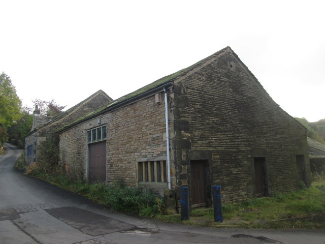
The history of Higher Ogden can be traced back many centuries, with evidence of human settlement in the area dating back to ancient times. Today, the village retains its rustic charm, with a mix of traditional stone-built cottages and newer properties.

Overall, Higher Ogden is a hidden gem within Lancashire, offering a peaceful and picturesque setting for those seeking a rural escape while still being within reach of essential services and amenities.

If you have any feedback on the listing, please let us know in the comments section below.
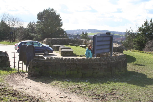
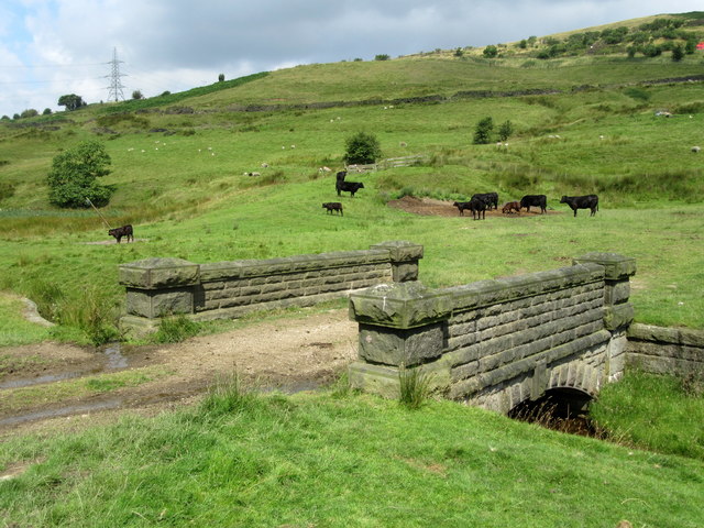
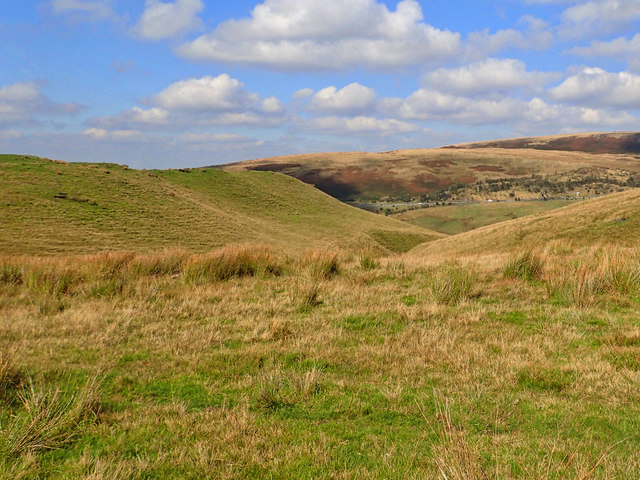
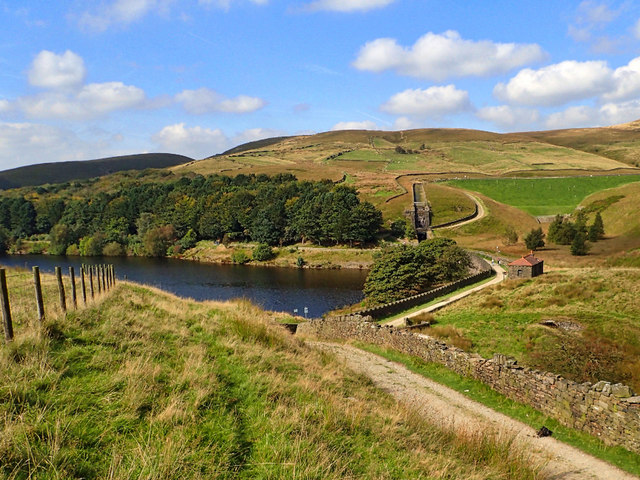
Higher Ogden Images

Images are sourced within 2km of 53.605883/-2.070243 or Grid Reference SD9512. Thanks to Geograph Open Source API. All images are credited.

Kitcliffe Track above Kitcliffe.
Kitcliffe
Track above Kitcliffe.
Piethorne Reservoir Track at the head of Piethorne Reservoir.
Piethorne Reservoir
Track at the head of Piethorne Reservoir.
Hanging Lees Reservoir View looking across Hanging Lees Reservoir.
Hanging Lees Reservoir
View looking across Hanging Lees Reservoir.
Cold Greave View looking down the path leading to Cold Greave.
Cold Greave
View looking down the path leading to Cold Greave.
Shaw:  The viewpoint at Brushes Clough
Shaw: The viewpoint at Brushes Clough
Bridge over Longden End Brook
Looking down into Longden End Brook
Piethorne Reservoir It's always good to explore a new area. Bleakedgate Moor, in the South Pennines south of the M62 is an area I have never been on. As the name says a bleak place, with hard gritstone tracks, tussocky moorland and black peaty bogs. But a warm, sunny day and a pleasant break on the way back from Manchester.

This is Piethorne Reservoir, built in the 1860s, it is one of several reservoirs in the Piethorne Valley to provide a water supply to the people of Oldham.
Piethorne Reservoir
It's always good to explore a new area. Bleakedgate Moor, in the South Pennines south of the M62 is an area I have never been on. As the name says a bleak place, with hard gritstone tracks, tussocky moorland and black peaty bogs. But a warm, sunny day and a pleasant break on the way back from Manchester. This is Piethorne Reservoir, built in the 1860s, it is one of several reservoirs in the Piethorne Valley to provide a water supply to the people of Oldham.
Norman Hill Reservoir
The Clough near Denshaw
Byway towards Higher Ogden
Buildings at Lower Ogden
Bulls Head near Lower Ogden
Bird in the Hand, Newhey The pub sign has gone but I don't know whether this means it is closed
Bird in the Hand, Newhey
The pub sign has gone but I don't know whether this means it is closed
Bird in Hand pub, Newhey Not to be confused with Bird in the Hand further along Huddersfield Road
Bird in Hand pub, Newhey
Not to be confused with Bird in the Hand further along Huddersfield Road
Newhey Metrolink station
Crossing on the Metrolink line south of Newhey
A663 at Shaw and Crompton boundary
Show me another place!

Higher Ogden is located at Grid Ref: SD9512 (Lat: 53.605883, Lng: -2.070243)

Unitary Authority: Rochdale

Police Authority: Greater Manchester

What 3 Words

///cabinet.enchanted.essential. Near Milnrow, Manchester

Related Wikis

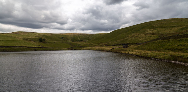
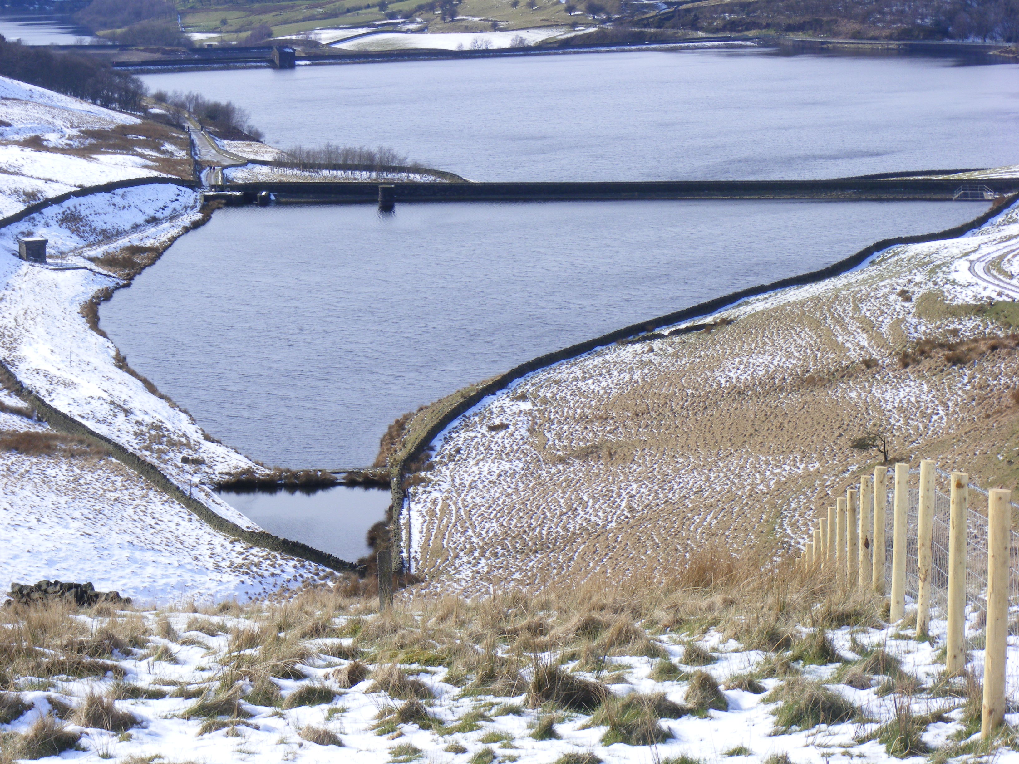
Ogden Reservoir (Greater Manchester)

Ogden Reservoir is a reservoir in the Piethorne Valley, close to Milnrow and Newhey in the Metropolitan Borough of Rochdale, within Greater Manchester...

Kitcliffe Reservoir

Kitcliffe Reservoir is a reservoir in Piethorne Valley in between Ogden and Piethorne Reservoirs in the Metropolitan Borough of Rochdale, within Greater...

Piethorne Reservoir

Piethorne Reservoir is the largest of several reservoirs in the Piethorne Valley above Newhey, by Milnrow, in the Metropolitan Borough of Rochdale, Greater...

Tunshill

Tunshill is a hamlet at the northeastern edge of Milnrow, within the Metropolitan Borough of Rochdale, in Greater Manchester, England. It lies amongst...

Hanging Lees Reservoir

Hanging Lees Reservoir is a small reservoir in the Piethorne Valley in the Metropolitan Borough of Rochdale, within Greater Manchester, England. It is...

Rooden Reservoir

Rooden Reservoir is a reservoir in the Piethorne Valley in the Metropolitan Borough of Rochdale, within Greater Manchester, England. It is close to Denshaw...
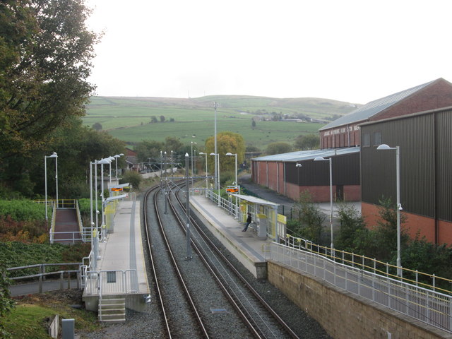
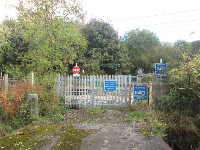
Newhey tram stop

Newhey is a tram stop on the Oldham and Rochdale Line (ORL) of Greater Manchester's light-rail Metrolink system. It opened to passengers on 28 February...

Norman Hill Reservoir

Norman Hill Reservoir is a reservoir in the Piethorne Valley in the Metropolitan Borough of Rochdale, within Greater Manchester, England. == References ==

Nearby Amenities

Located within 500m of 53.605883,-2.070243
Higher Ogden
Is In: Rochdale, Greater Manchester, UK
Place: hamlet
Source: npe;local knowledge
Lat/Long: 53.6041248/-2.0747717
Power: tower
Lat/Long: 53.6080174/-2.066893
Power: tower
Lat/Long: 53.6059154/-2.0658629
Power: tower
Lat/Long: 53.6033881/-2.0645812
Pub
Bulls Head
Lat/Long: 53.6051174/-2.0744675
Post Box
Collection Times: Mo-Fr 17:00; Sa 11:45
Operator: Royal Mail
Post Box Type: wall
Ref: OL16 15
Royal Cypher: VR
Royal Cypher Wikidata: Q33102356
Source: survey
Lat/Long: 53.6050567/-2.074595
Bench
Source: survey
Lat/Long: 53.6054943/-2.0751314
Power: pole
Lat/Long: 53.6048488/-2.0731766
Power: pole
Lat/Long: 53.6053633/-2.072348
Power: pole
Lat/Long: 53.6061333/-2.0740662
Power: pole
Lat/Long: 53.6058599/-2.0715149
Power: pole
Lat/Long: 53.6063399/-2.0709215
Power: pole
Lat/Long: 53.6067953/-2.0703372
Power: pole
Lat/Long: 53.6072675/-2.0697128
Power: pole
Lat/Long: 53.607846/-2.0690047
Power: pole
Lat/Long: 53.6058903/-2.0706511
Power: pole
Lat/Long: 53.6051863/-2.0702109
Power: pole
Lat/Long: 53.6022081/-2.0668163
Power: pole
Lat/Long: 53.6025431/-2.0673667
Power: pole
Lat/Long: 53.6024958/-2.0681046
Power: pole
Lat/Long: 53.602458/-2.0693628
Power: pole
Lat/Long: 53.6028112/-2.0649173
Power: pole
Lat/Long: 53.6032116/-2.0647078
The data included in this document is from www.openstreetmap.org. The data is made available under ODbL.

Have you been to Higher Ogden?

Leave your review of Higher Ogden below (or comments, questions and feedback).