Lane Bottom
Valley in Lancashire
England
Lane Bottom
Lane Bottom is a small hamlet located in the picturesque Valley district of Lancashire, England. Situated amidst rolling hills and lush green countryside, this tranquil settlement offers a peaceful retreat for residents and visitors alike.
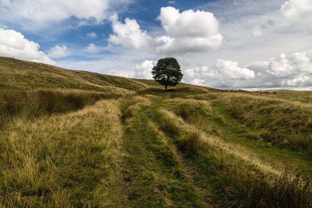
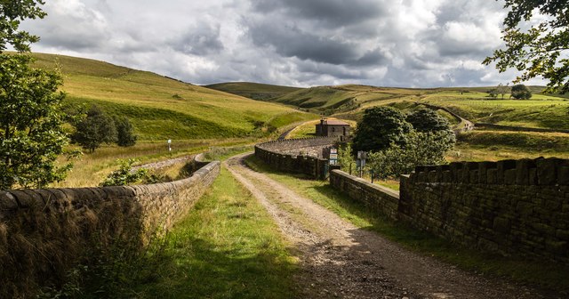
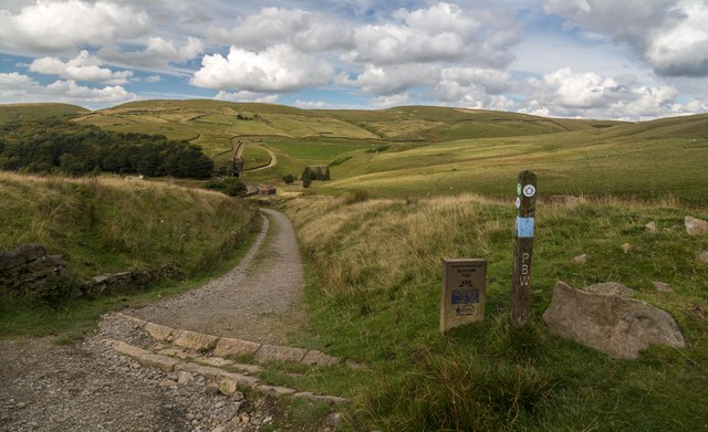
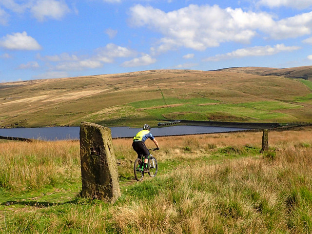
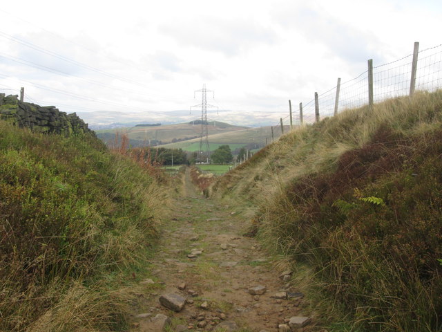
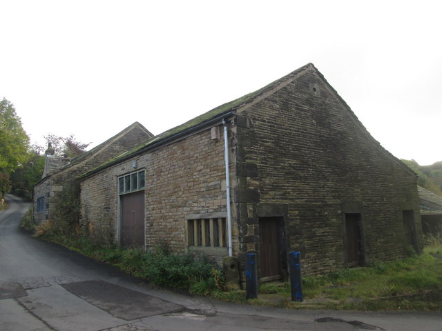
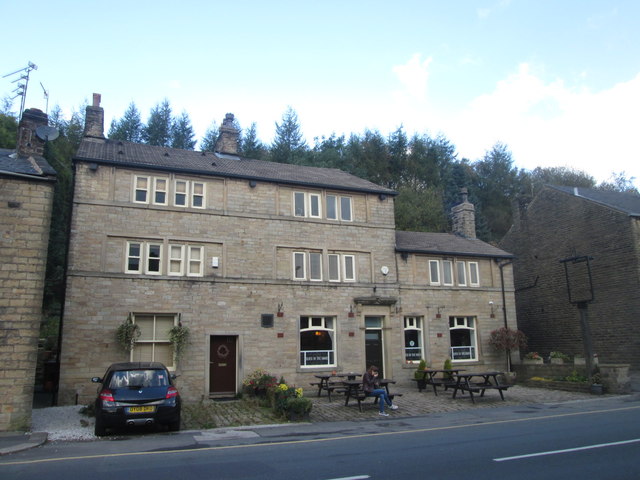
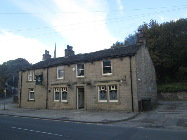
The hamlet is characterized by its quaint, traditional stone cottages, which are surrounded by well-tended gardens and charming cobbled lanes. These historic buildings give Lane Bottom a unique sense of character and heritage. The landscape surrounding the village is dominated by open fields, providing ample opportunities for outdoor activities such as walking, cycling, and picnicking.
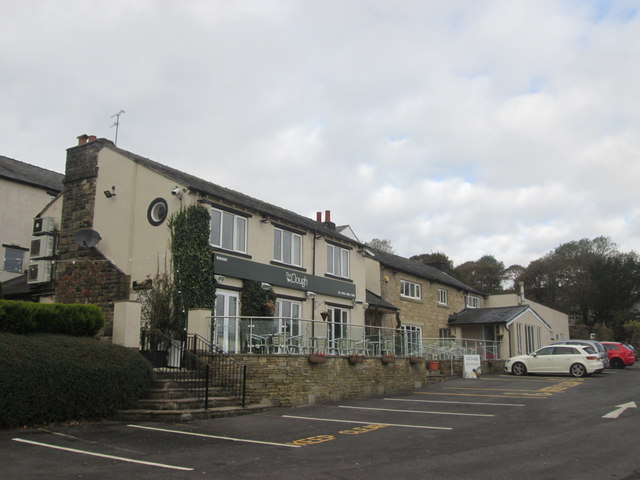
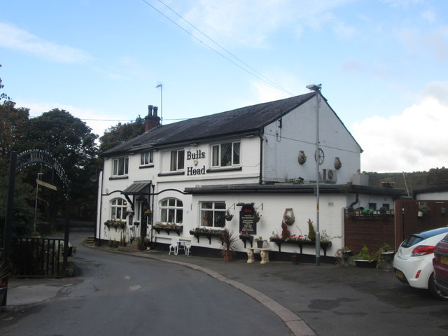
Despite its small size, Lane Bottom benefits from a close-knit community that is known for its warmth and friendliness. The local residents take pride in preserving the village's heritage and organizing community events, such as summer fairs and Christmas celebrations. The village also boasts a cozy pub, where locals and visitors can enjoy a pint of locally brewed ale and indulge in hearty, home-cooked meals.
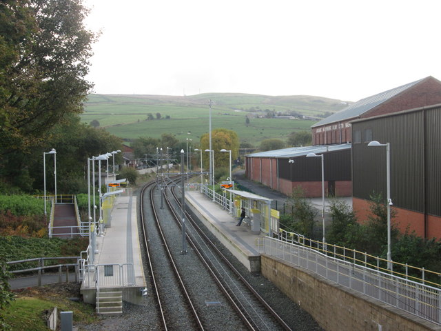
Lane Bottom's idyllic location makes it an ideal base for exploring the wider Valley district. Nearby attractions include scenic walking trails, historic landmarks, and charming market towns. The village's proximity to major transport links ensures easy access to surrounding areas, making it an attractive destination for those seeking a peaceful retreat with convenient connections to urban centers.
In conclusion, Lane Bottom in Lancashire's Valley district is a charming hamlet that offers a tranquil escape from the hustle and bustle of city life. With its picturesque surroundings, rich history, and friendly community, it is a hidden gem that provides a delightful experience for anyone who visits.
If you have any feedback on the listing, please let us know in the comments section below.
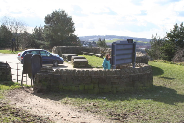
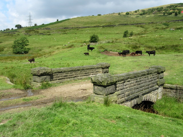
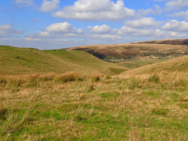
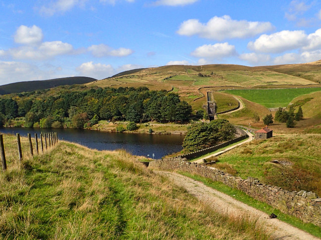
Lane Bottom Images
Images are sourced within 2km of 53.604881/-2.0729853 or Grid Reference SD9512. Thanks to Geograph Open Source API. All images are credited.
Lane Bottom is located at Grid Ref: SD9512 (Lat: 53.604881, Lng: -2.0729853)
Unitary Authority: Rochdale
Police Authority: Greater Manchester
What 3 Words
///toddler.tangent.grazes. Near Milnrow, Manchester
Nearby Locations
Related Wikis

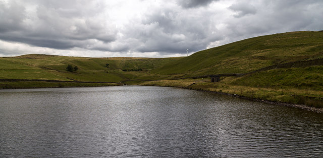
Ogden Reservoir (Greater Manchester)
Ogden Reservoir is a reservoir in the Piethorne Valley, close to Milnrow and Newhey in the Metropolitan Borough of Rochdale, within Greater Manchester...

Kitcliffe Reservoir
Kitcliffe Reservoir is a reservoir in Piethorne Valley in between Ogden and Piethorne Reservoirs in the Metropolitan Borough of Rochdale, within Greater...

Piethorne Reservoir
Piethorne Reservoir is the largest of several reservoirs in the Piethorne Valley above Newhey, by Milnrow, in the Metropolitan Borough of Rochdale, Greater...

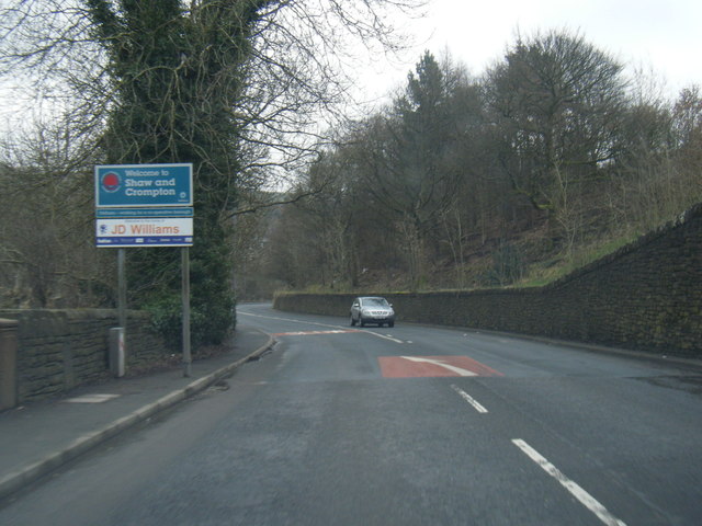
Tunshill
Tunshill is a hamlet at the northeastern edge of Milnrow, within the Metropolitan Borough of Rochdale, in Greater Manchester, England. It lies amongst...

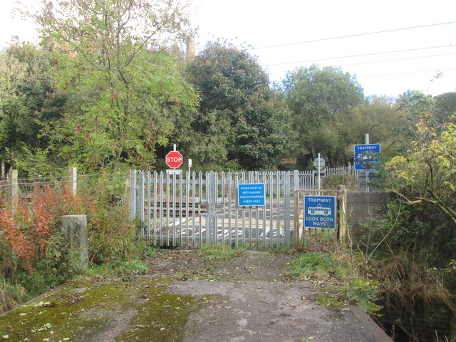
Newhey tram stop
Newhey is a tram stop on the Oldham and Rochdale Line (ORL) of Greater Manchester's light-rail Metrolink system. It opened to passengers on 28 February...

Piethorne Brook
Piethorne Brook is a watercourse in Greater Manchester. It is a tributary of the River Beal. == Sources == Piethorne Brook and its feeder streams originate...
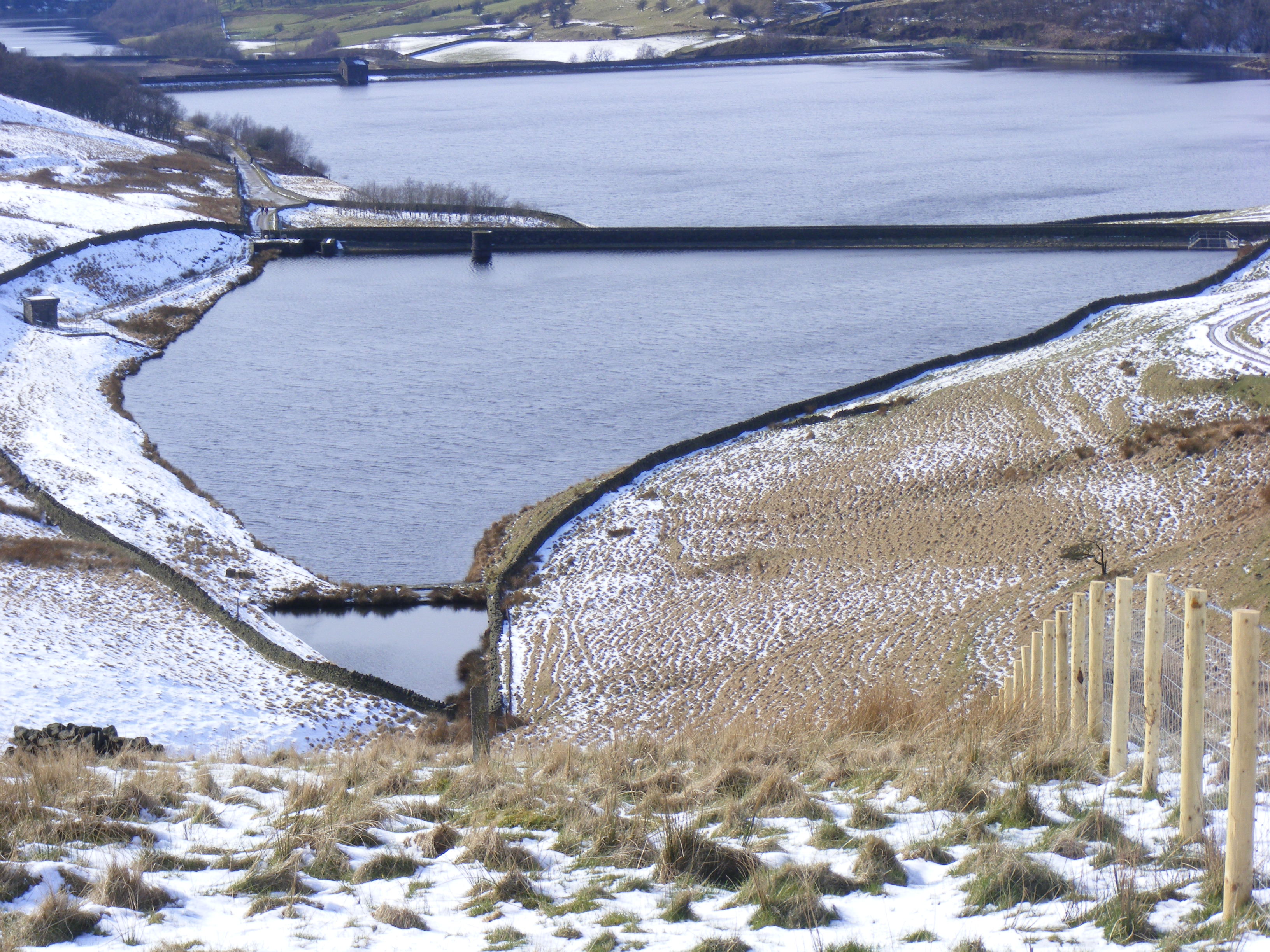
Hanging Lees Reservoir
Hanging Lees Reservoir is a small reservoir in the Piethorne Valley in the Metropolitan Borough of Rochdale, within Greater Manchester, England. It is...

Crompton Moor
Crompton Moor (archaically known as High Moor) is an area of moorland in the South Pennines, in North West England. It lies along the northeastern outskirts...
Nearby Amenities
Located within 500m of 53.604881,-2.0729853Have you been to Lane Bottom?
Leave your review of Lane Bottom below (or comments, questions and feedback).