Ogden Reservoir
Lake, Pool, Pond, Freshwater Marsh in Lancashire
England
Ogden Reservoir
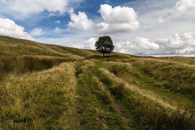
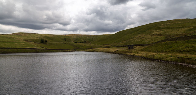
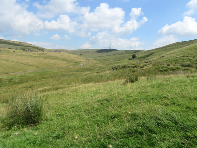
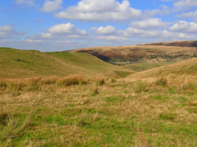
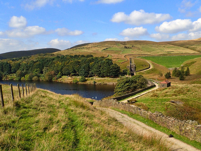
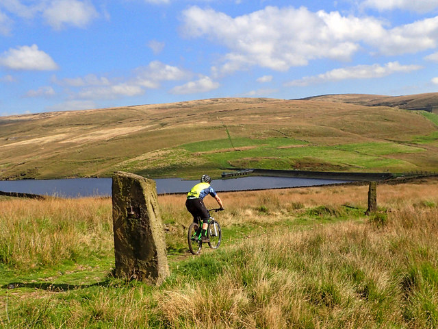
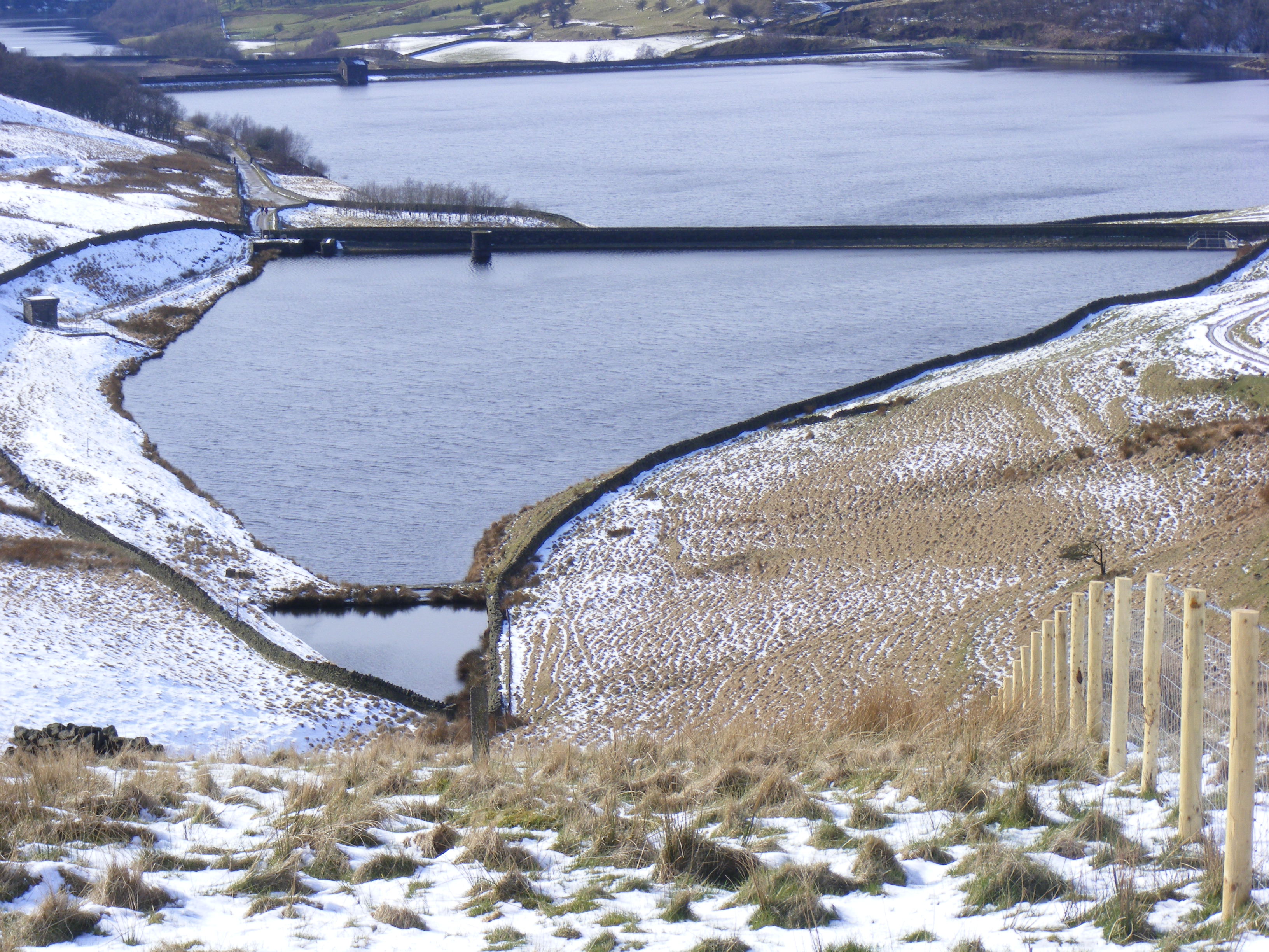
Ogden Reservoir, located in Lancashire, England, is a freshwater lake that serves as a vital water source for the surrounding areas. Covering an area of approximately 23 hectares, it is nestled within the picturesque countryside of the Pennines, offering breathtaking views and a tranquil atmosphere.
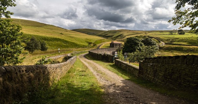
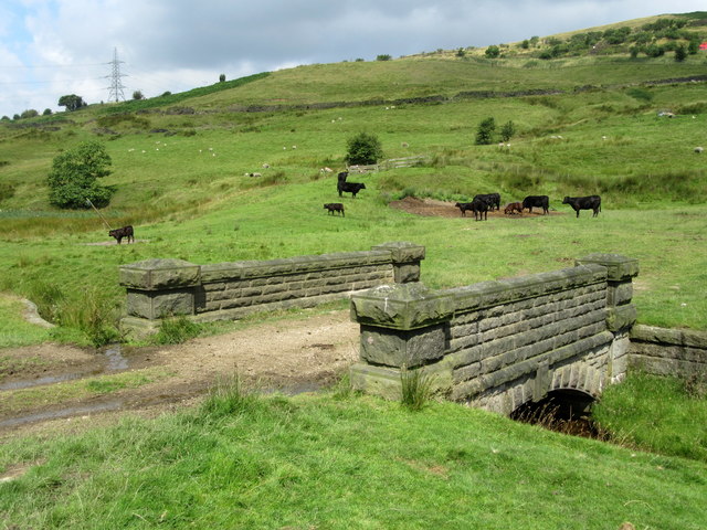
The reservoir was originally constructed in 1868 to supply water to the nearby town of Halifax. It is formed by a stone embankment, which creates a large body of water surrounded by lush greenery. The reservoir's capacity is about 1 million cubic meters, ensuring a reliable water supply for the region.
The natural beauty of Ogden Reservoir attracts a variety of wildlife, making it a popular spot for nature enthusiasts and birdwatchers. The surrounding area is home to a diverse range of bird species, including herons, grebes, and ducks, which can often be seen gliding gracefully across the water's surface. The reservoir's shores are also inhabited by an array of plant life, such as reeds and aquatic vegetation, which provide essential habitats for various aquatic organisms.
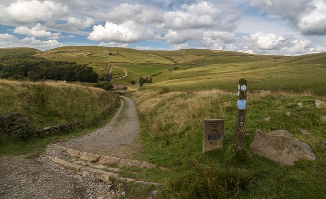
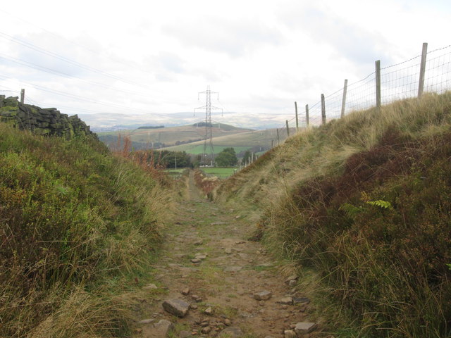
Visitors to Ogden Reservoir can enjoy a range of recreational activities. The calm waters are ideal for fishing, with anglers often casting their lines in search of trout and other freshwater species. Additionally, the reservoir boasts several footpaths and trails, allowing visitors to explore the scenic surroundings on foot or by bike.
Overall, Ogden Reservoir is not only a vital water source for Lancashire but also a haven for wildlife and a serene destination for outdoor enthusiasts.
If you have any feedback on the listing, please let us know in the comments section below.
Ogden Reservoir Images
Images are sourced within 2km of 53.608279/-2.0726436 or Grid Reference SD9512. Thanks to Geograph Open Source API. All images are credited.
Ogden Reservoir is located at Grid Ref: SD9512 (Lat: 53.608279, Lng: -2.0726436)
Unitary Authority: Rochdale
Police Authority: Greater Manchester
What 3 Words
///shine.confining.notebook. Near Milnrow, Manchester
Nearby Locations
Related Wikis

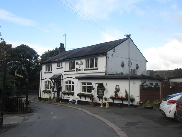
Ogden Reservoir (Greater Manchester)
Ogden Reservoir is a reservoir in the Piethorne Valley, close to Milnrow and Newhey in the Metropolitan Borough of Rochdale, within Greater Manchester...

Kitcliffe Reservoir
Kitcliffe Reservoir is a reservoir in Piethorne Valley in between Ogden and Piethorne Reservoirs in the Metropolitan Borough of Rochdale, within Greater...

Tunshill
Tunshill is a hamlet at the northeastern edge of Milnrow, within the Metropolitan Borough of Rochdale, in Greater Manchester, England. It lies amongst...

Piethorne Reservoir
Piethorne Reservoir is the largest of several reservoirs in the Piethorne Valley above Newhey, by Milnrow, in the Metropolitan Borough of Rochdale, Greater...

Rakewood Viaduct
The Rakewood Viaduct carries the M62 motorway over Rakewood Valley and Longden End Brook between junctions 21 and 22 at Littleborough, Greater Manchester...
Hanging Lees Reservoir
Hanging Lees Reservoir is a small reservoir in the Piethorne Valley in the Metropolitan Borough of Rochdale, within Greater Manchester, England. It is...

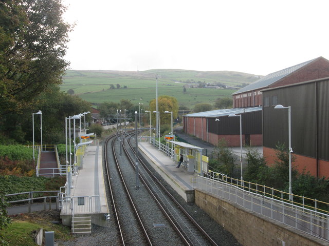
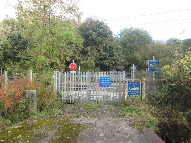
Newhey tram stop
Newhey is a tram stop on the Oldham and Rochdale Line (ORL) of Greater Manchester's light-rail Metrolink system. It opened to passengers on 28 February...

Norman Hill Reservoir
Norman Hill Reservoir is a reservoir in the Piethorne Valley in the Metropolitan Borough of Rochdale, within Greater Manchester, England. == References ==
Nearby Amenities
Located within 500m of 53.608279,-2.0726436Have you been to Ogden Reservoir?
Leave your review of Ogden Reservoir below (or comments, questions and feedback).