Scaitcliffe Clough
Valley in Lancashire
England
Scaitcliffe Clough
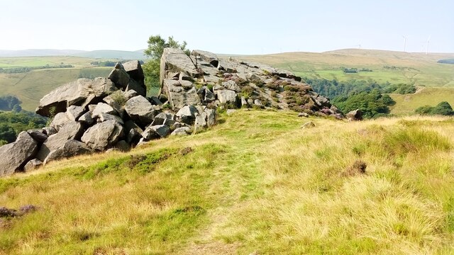
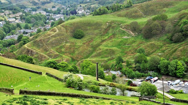
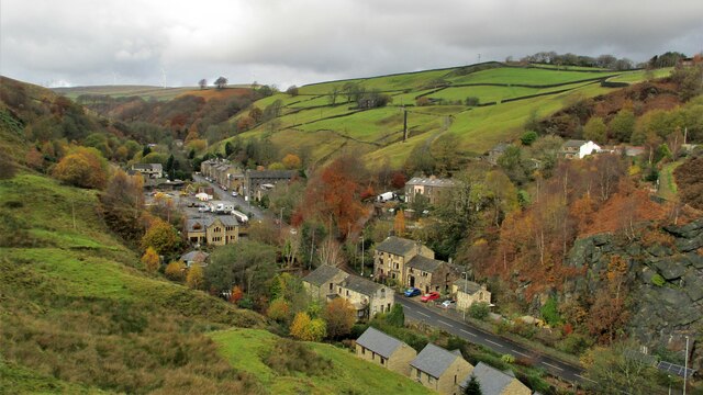
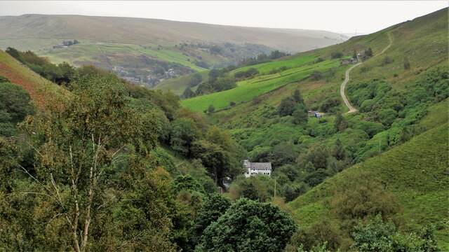
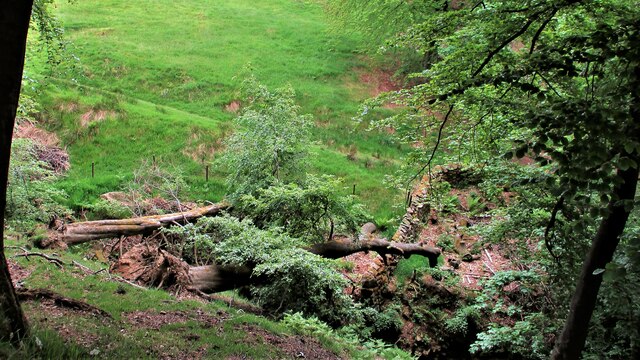
Scaitcliffe Clough is a picturesque valley located in Lancashire, England. Nestled within the Rossendale Valley, it is surrounded by rolling hills and lush greenery, offering a tranquil and scenic retreat for visitors and locals alike.
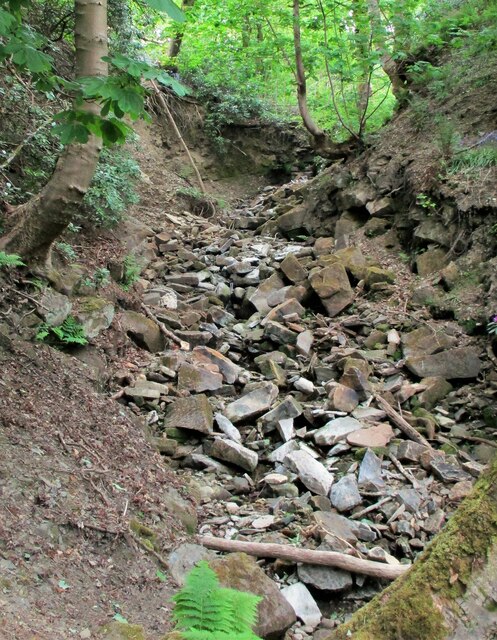
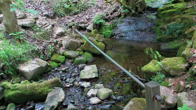
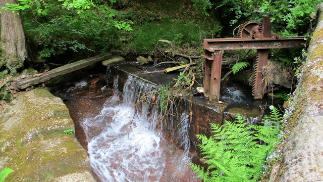
The valley is known for its natural beauty, with a meandering stream, Scaitcliffe Brook, running through its heart. The brook is lined with a variety of trees, including oak, birch, and willow, creating a diverse and vibrant ecosystem. The sound of the water flowing over the rocks adds to the peaceful ambiance of the area.
Scaitcliffe Clough is also home to a range of wildlife, such as herons, kingfishers, and otters, making it a popular spot for nature enthusiasts and birdwatchers. The diverse flora and fauna provide an opportunity for visitors to connect with the natural world and experience the tranquility of the countryside.
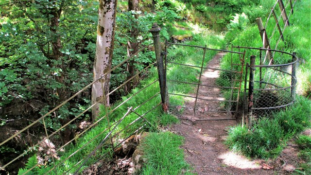
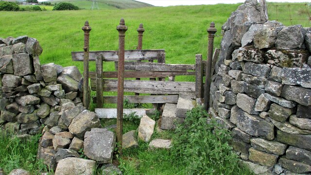
For those who enjoy outdoor activities, Scaitcliffe Clough offers several walking trails that wind through the valley and up into the surrounding hills. These trails provide stunning views of the landscape, including the nearby hills of Scout Moor and Cowpe Lowe.
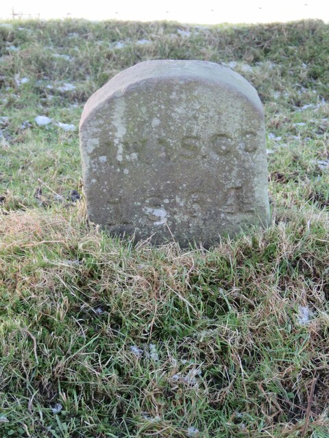
The valley has a rich historical heritage, with traces of ancient settlements and industrial remains dating back to the 18th century. The ruins of old mills and quarries can still be seen, serving as a reminder of the area's industrial past.
In conclusion, Scaitcliffe Clough is a hidden gem in Lancashire, offering a peaceful and scenic escape for nature lovers and history enthusiasts. With its natural beauty, diverse wildlife, and historical significance, it is a must-visit destination for anyone seeking a true taste of the Lancashire countryside.
If you have any feedback on the listing, please let us know in the comments section below.
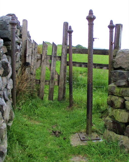
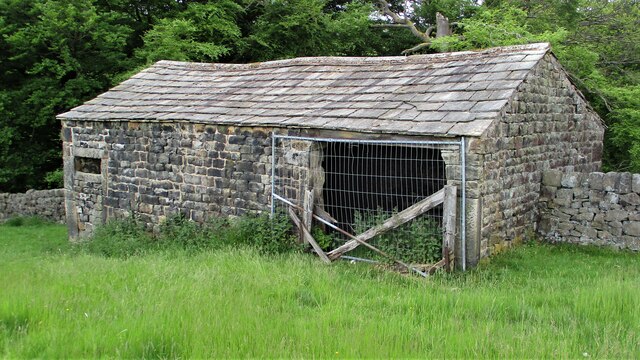
Scaitcliffe Clough Images
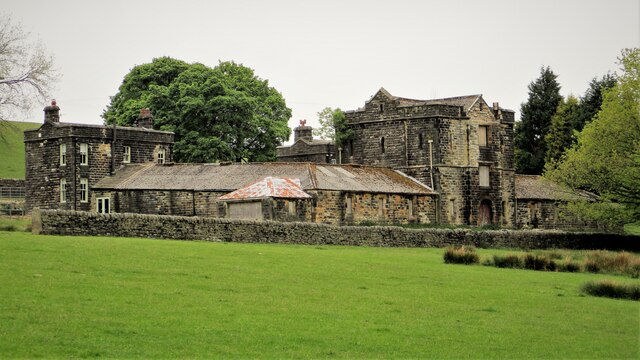
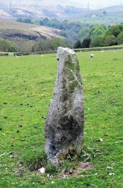
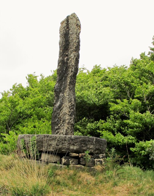
Images are sourced within 2km of 53.721872/-2.1171815 or Grid Reference SD9225. Thanks to Geograph Open Source API. All images are credited.

Scaitcliffe Clough is located at Grid Ref: SD9225 (Lat: 53.721872, Lng: -2.1171815)
Unitary Authority: Calderdale
Police Authority: West Yorkshire
What 3 Words
///crowned.recently.roadshow. Near Todmorden, West Yorkshire
Nearby Locations
Related Wikis

Todmorden High School
Todmorden High School is a comprehensive school in the town of Todmorden, Calderdale LEA, West Yorkshire, England. == Admissions == Todmorden High School...
Mons Mill, Todmorden
Mons Mill, Todmorden, is a former cotton spinning mill in Todmorden, Calderdale, West Yorkshire, England built for the Hare Spinning Company Limited. It...

Todmorden War Memorial
Todmorden War Memorial is a war memorial located in Todmorden, West Yorkshire, England.The memorial is in the garden of remembrance in Centre Vale Park...
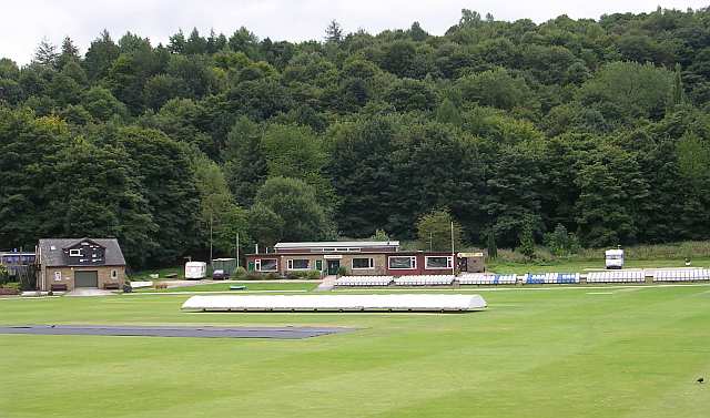
Todmorden Cricket Club
Todmorden Cricket Club is a cricket club in the Lancashire League, which plays its home games at Centre Vale in Todmorden, West Yorkshire. Until the administrative...
Nearby Amenities
Located within 500m of 53.721872,-2.1171815Have you been to Scaitcliffe Clough?
Leave your review of Scaitcliffe Clough below (or comments, questions and feedback).