Well Wood
Wood, Forest in Yorkshire
England
Well Wood
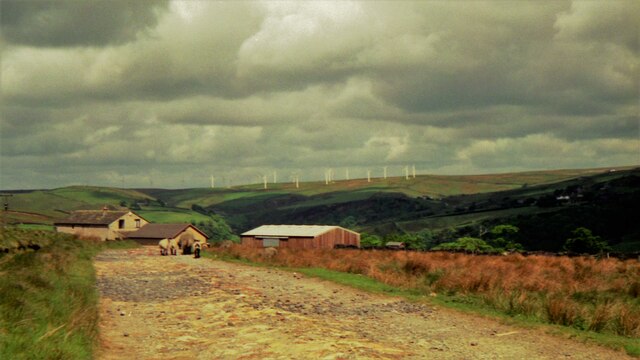
Well Wood is a picturesque forest located in the county of Yorkshire, England. Situated near the village of Well, the woodland covers an area of approximately 100 acres, making it a popular destination for nature lovers and outdoor enthusiasts.
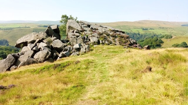
The forest is characterized by its dense canopy of tall, mature trees, predominantly consisting of oak, beech, and ash. These majestic trees provide an enchanting ambiance, with their branches intertwining to create a natural canopy that filters sunlight, casting beautiful patterns on the forest floor. The woodland is also home to a diverse range of flora and fauna, including various species of wildflowers, ferns, and fungi, as well as an array of bird species.
Well Wood offers visitors a network of well-maintained walking trails, allowing them to explore the forest's natural beauty at their own pace. These trails meander through the woodland, providing opportunities to observe wildlife and experience the tranquility of the surroundings. The forest also features a small stream that winds its way through the trees, adding to the peaceful atmosphere.
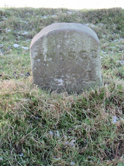
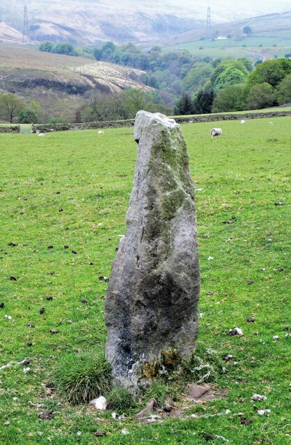
In addition to its natural offerings, Well Wood has a rich cultural history. The woodland has been mentioned in historical records dating back centuries, and there are remnants of ancient settlements and burial mounds within its boundaries. These historical features add an extra layer of intrigue to an already captivating destination.
Overall, Well Wood in Yorkshire is a haven of natural beauty and tranquility, providing visitors with an opportunity to immerse themselves in the wonders of the forest and connect with nature.
If you have any feedback on the listing, please let us know in the comments section below.
Well Wood Images
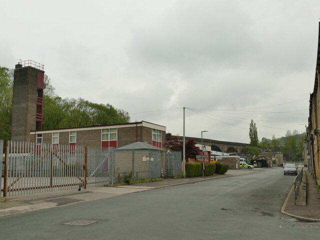
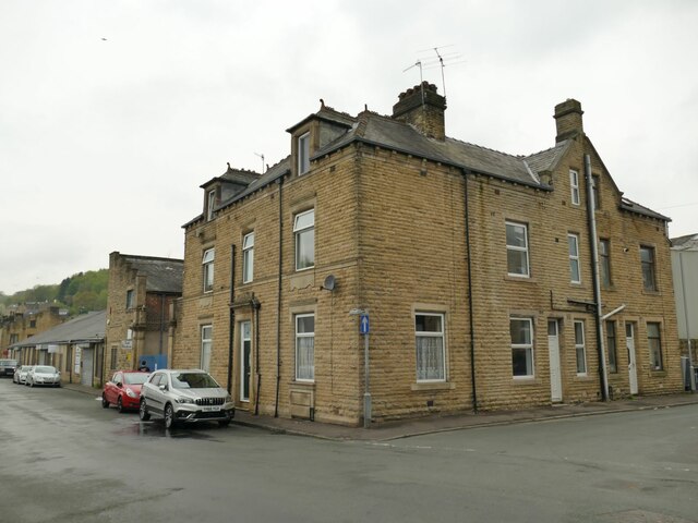
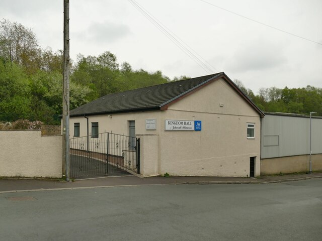
Images are sourced within 2km of 53.728118/-2.1176688 or Grid Reference SD9225. Thanks to Geograph Open Source API. All images are credited.


![Empire Books, Stansfield Street, Todmorden The building is shown on early 20th century maps as &#039;Carr Mill (Slipper)&#039;. It presumably made carpet slippers from fabric produced in one of the many local cotton mills. A comment on a local history website says &#039;The footwear industry in Rossendale [not far from Todmorden] didn&#039;t really finish until the late 1980s&#039;.](https://s1.geograph.org.uk/geophotos/07/16/97/7169761_b27b5222.jpg)
Well Wood is located at Grid Ref: SD9225 (Lat: 53.728118, Lng: -2.1176688)
Division: West Riding
Unitary Authority: Calderdale
Police Authority: West Yorkshire
What 3 Words
///reclined.cartoons.workouts. Near Cornholme, West Yorkshire
Nearby Locations
Related Wikis

Todmorden High School
Todmorden High School is a comprehensive school in the town of Todmorden, Calderdale LEA, West Yorkshire, England. == Admissions == Todmorden High School...
Mons Mill, Todmorden
Mons Mill, Todmorden, is a former cotton spinning mill in Todmorden, Calderdale, West Yorkshire, England built for the Hare Spinning Company Limited. It...
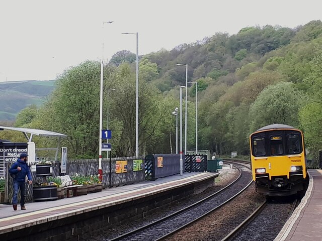
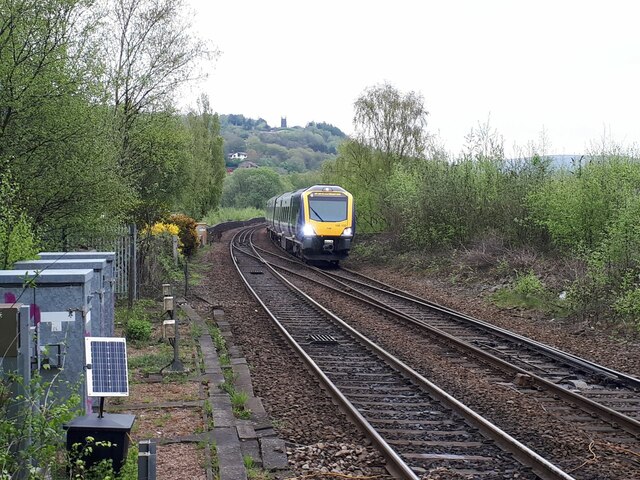
Cornholme railway station
Cornholme railway station served the village of Cornholme in West Yorkshire, England on the Copy Pit line. The station was opened by the Lancashire and...

Todmorden War Memorial
Todmorden War Memorial is a war memorial located in Todmorden, West Yorkshire, England.The memorial is in the garden of remembrance in Centre Vale Park...
Nearby Amenities
Located within 500m of 53.728118,-2.1176688Have you been to Well Wood?
Leave your review of Well Wood below (or comments, questions and feedback).