Pennant Clough
Valley in Yorkshire
England
Pennant Clough
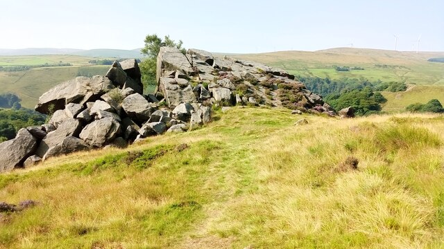
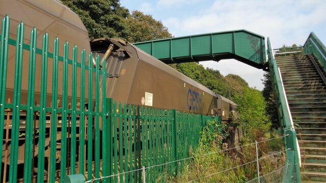
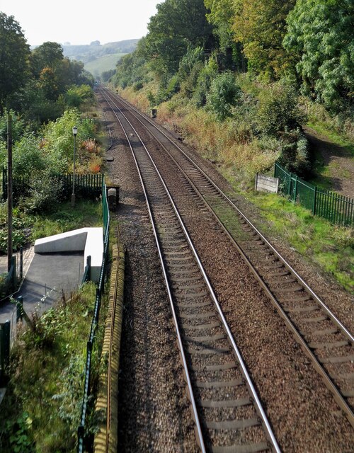
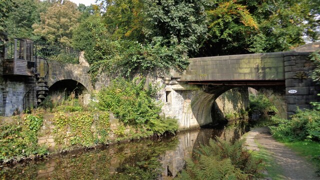
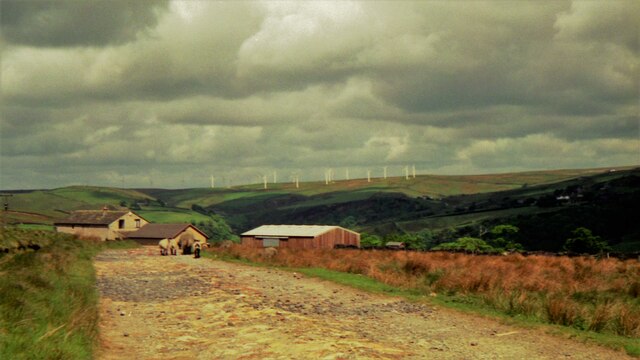
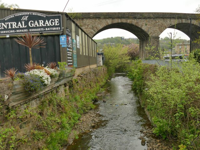
Pennant Clough is a picturesque valley located in the region of Yorkshire, England. Situated within the beautiful landscape of the Pennines, it offers breathtaking views and a serene environment for nature enthusiasts. The valley is renowned for its lush greenery, cascading waterfalls, and meandering streams, making it a popular destination for hikers, walkers, and photographers.
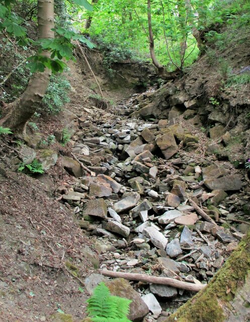
The valley is home to an abundance of flora and fauna, including various species of wildflowers, trees, and birds. The peaceful atmosphere and stunning scenery attract visitors who seek tranquility and a connection with nature. The presence of the clough, a deep ravine carved by a stream, adds an element of drama to the landscape, creating a sense of awe and wonder.
Pennant Clough offers a range of outdoor activities for visitors to enjoy. There are numerous walking trails that allow visitors to explore the valley and take in its natural beauty. The clough itself provides opportunities for rock climbing and abseiling for those seeking a more adventurous experience. Additionally, the valley is home to several picnic spots, allowing visitors to relax and enjoy a meal surrounded by nature.
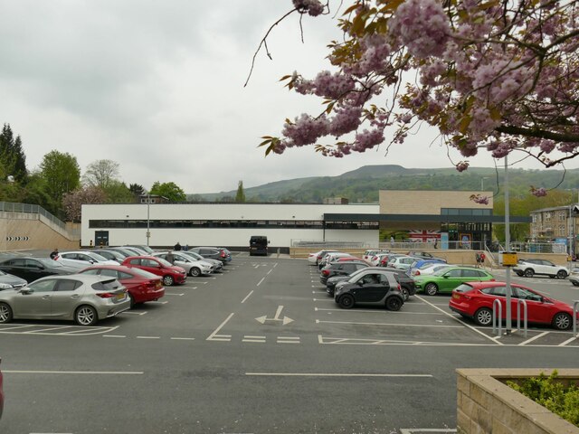
The valley is easily accessible, with a parking area available for visitors. It is also well-connected to nearby towns and villages, making it a convenient day trip destination for both locals and tourists. Overall, Pennant Clough is a hidden gem in Yorkshire, offering a tranquil escape and a chance to immerse oneself in the splendor of nature.
If you have any feedback on the listing, please let us know in the comments section below.
Pennant Clough Images
Images are sourced within 2km of 53.727983/-2.1084836 or Grid Reference SD9225. Thanks to Geograph Open Source API. All images are credited.


Pennant Clough is located at Grid Ref: SD9225 (Lat: 53.727983, Lng: -2.1084836)
Division: West Riding
Unitary Authority: Calderdale
Police Authority: West Yorkshire
What 3 Words
///headlight.breaches.eyepieces. Near Todmorden, West Yorkshire
Nearby Locations
Related Wikis

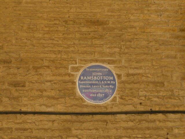
Mons Mill, Todmorden
Mons Mill, Todmorden, is a former cotton spinning mill in Todmorden, Calderdale, West Yorkshire, England built for the Hare Spinning Company Limited. It...
Todmorden High School
Todmorden High School is a comprehensive school in the town of Todmorden, Calderdale LEA, West Yorkshire, England. == Admissions == Todmorden High School...

Todmorden War Memorial
Todmorden War Memorial is a war memorial located in Todmorden, West Yorkshire, England.The memorial is in the garden of remembrance in Centre Vale Park...
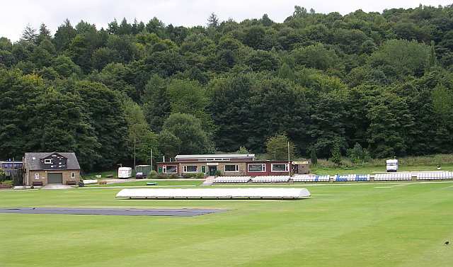
Todmorden Cricket Club
Todmorden Cricket Club is a cricket club in the Lancashire League, which plays its home games at Centre Vale in Todmorden, West Yorkshire. Until the administrative...
Related Videos

ABANDONING ROCHDALE #todmorden #tourism Canal Walks
It must've been OK there at some point I guess? Todmorden Tourism, get to Tod on Rochdale Canal. Music by @thefamousclive.


CENTRE VALE PARK WALKING
Hello Jamie here and with another video. So the day before my birthday, I went to Todmorden, to see family, but also had the ...

Hole Bottom Golf - #todmorden #tourism Todmorden Walks
It's a circular walk it is. Fore! Music by @thefamousclive.
Nearby Amenities
Located within 500m of 53.727983,-2.1084836Have you been to Pennant Clough?
Leave your review of Pennant Clough below (or comments, questions and feedback).